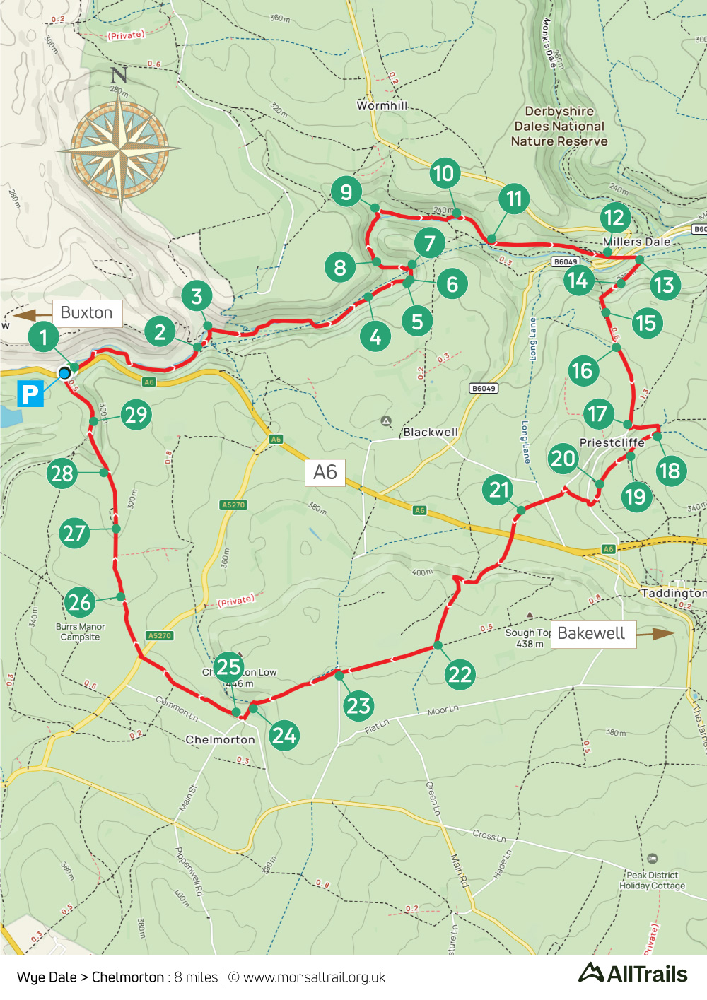
Wye Dale > Chelmorton: 8mls
Walk distance: 8 miles | Date recorded: 17 April 2024
Start point: Wyedale carpark | Google Map
Map app: View on OutdoorActive | Contact me for GPX file
Walk description
Starting from the small carpark at Wyedale, this walk of just over eight miles follows the picturesque River Wye for some distance and includes a couple of short stretches over stepping stones which can be a bit daunting.
The biggest problem when I walked it in mid April was the amount of mud. So walking boots are a good idea, together with a walking pole to provide some reassurance over the stepping stones and along some of the rockier sections.
The route then rises to the Monsal Trail, passing Miller’s Dale Station before heading across open fields and farm tracks to reach Chelmorton (with it’s popular Church Inn pub), and returning past Topley Pike Quarry to the starting point.
A ‘Relive’ version of the walk. Click to play and use the expand option to view in full-screen. Click here for more Monsal Trail ‘Relives’.
Click map to expand in a new browser tab.
Click here to open an A4 printable pdf of map.
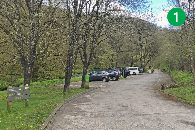
1: The small carpark is well-signposted from the A6 a few miles east of Buxton but it can soon fill up. Alternative starting points are Chelmorton where you can usually park near the Church Inn pub, or at Miller’s Dale Station. From Wyedale carpark, head along the narrow lane with the River Wye on your left.
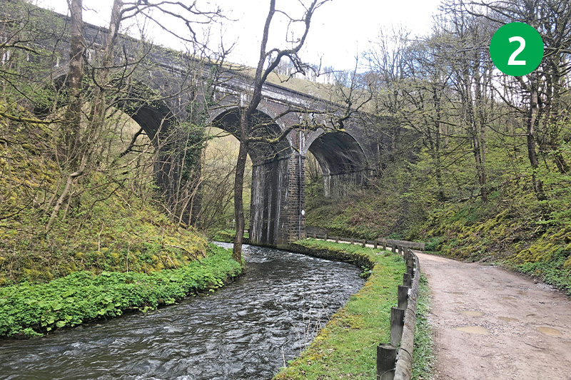
2: You pass under three viaducts which once carried trains from Miller’s Dale to Buxton. A series of steps on the right, signposted from just before the last one, will take you up to the start of the Monsal Trail. But continue along the lane, passing the cycle hire shop on your right (which also sells teas and snacks in spring and summer months).
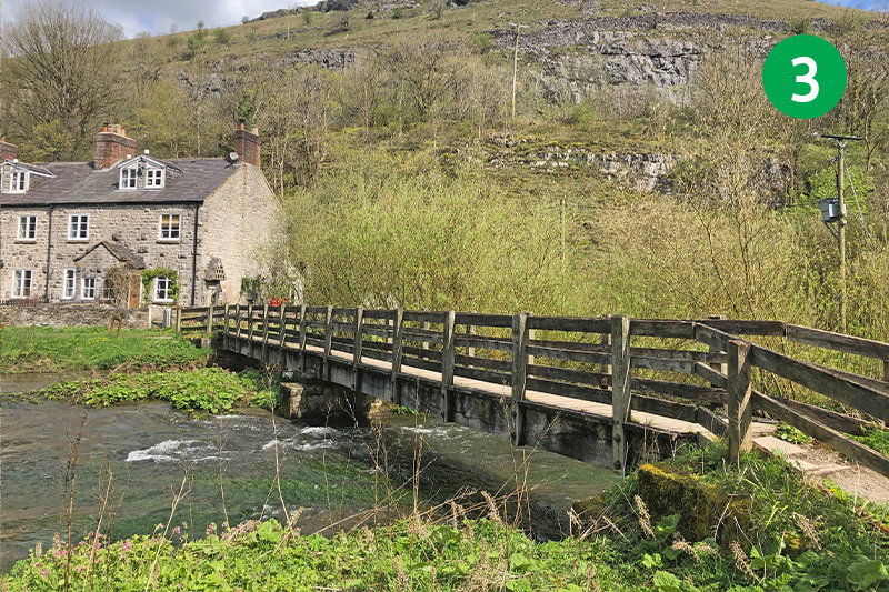
3: Cross the small footbridge and turn right along the riverside path. (The houses on the left were built for workers on the railway line.) Continue along this path for some distance, keeping beside the river and ignoring tracks going off to the left.
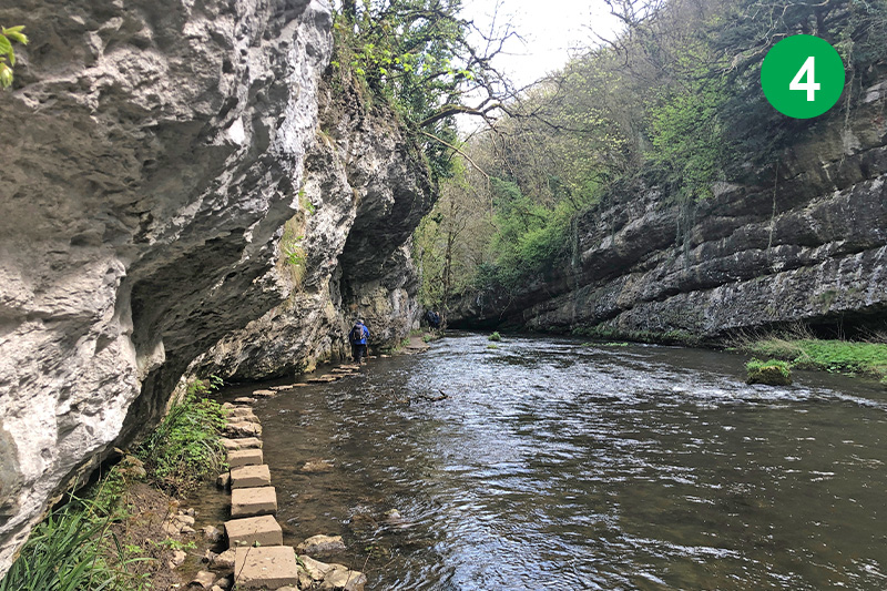
4: Eventually you come to a series of stepping stones. Some care is needed here – especially if the river is running high. But keeping a steadying hand on the rock face makes it far easier than it may first appear.
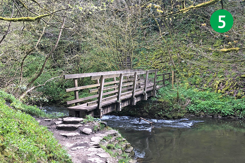
5: Continue until you come to a footbridge at the end of the track (ignore an earlier one that’s been roped off for some time).
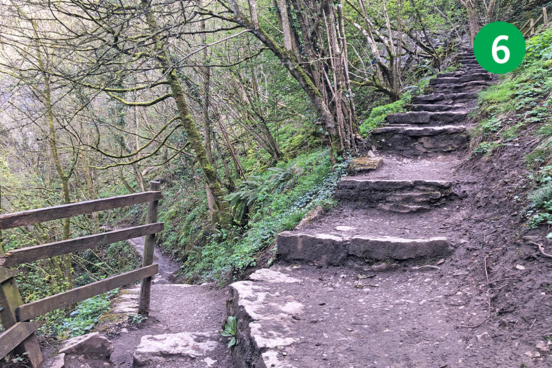
6: Cross the bridge and take the path on the left that leads back down to the riverside track. (The steps leading up from here will take you to the Monsal Trail, avoiding another set of stepping stones and a section that can get very muddy and water-logged. If you do take these steps, simply turn right to reach Miller’s Dale Station at point 12.)
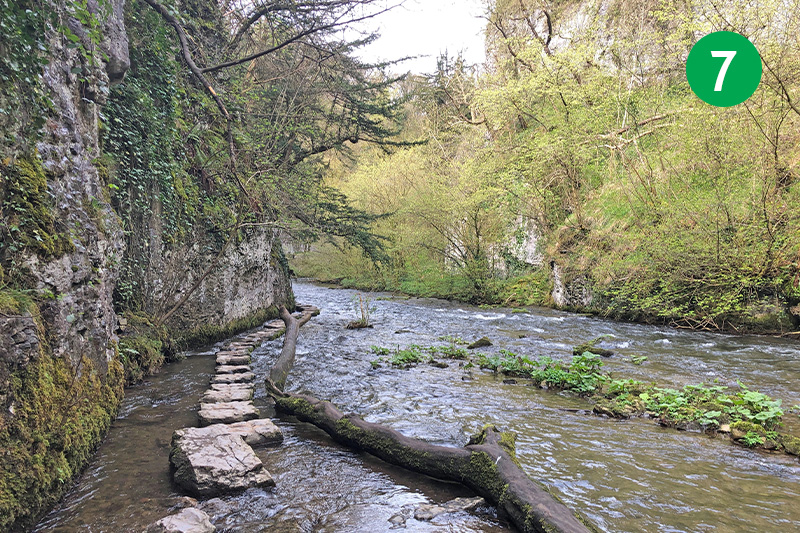
7: Follow the path, crossing over another footbridge, and then over the second set of stepping stones. You soon reach a section where novice climbers can often be seen practicing their skills on the exposed rock face.
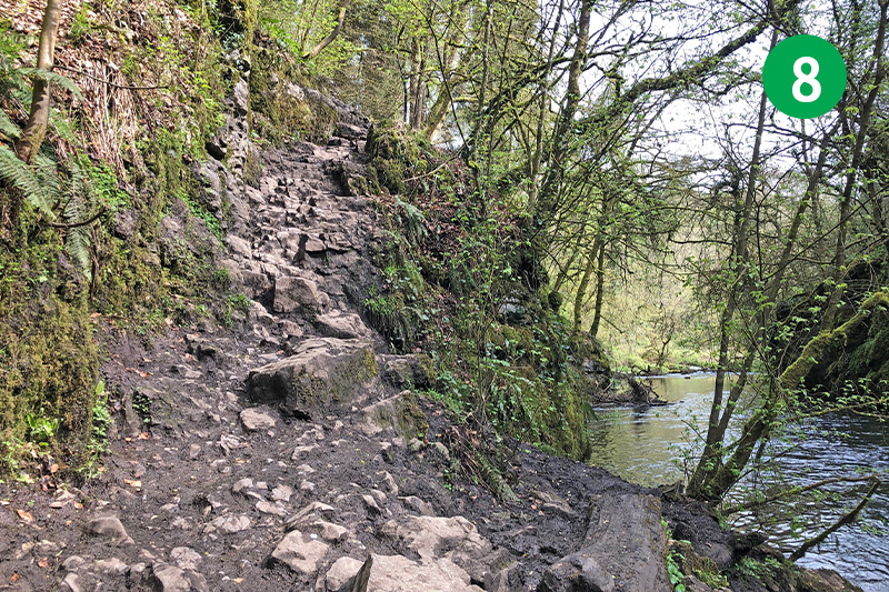
8: This part of the walk is often the muddiest, with some uneven steps to climb, so takes some care to get through during wet weather.
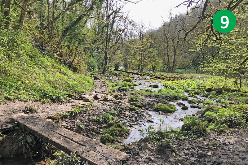
9: Follow the path as it snakes around to the right, crossing a couple of flimsy footbridges and keeping to the track nearest the river.
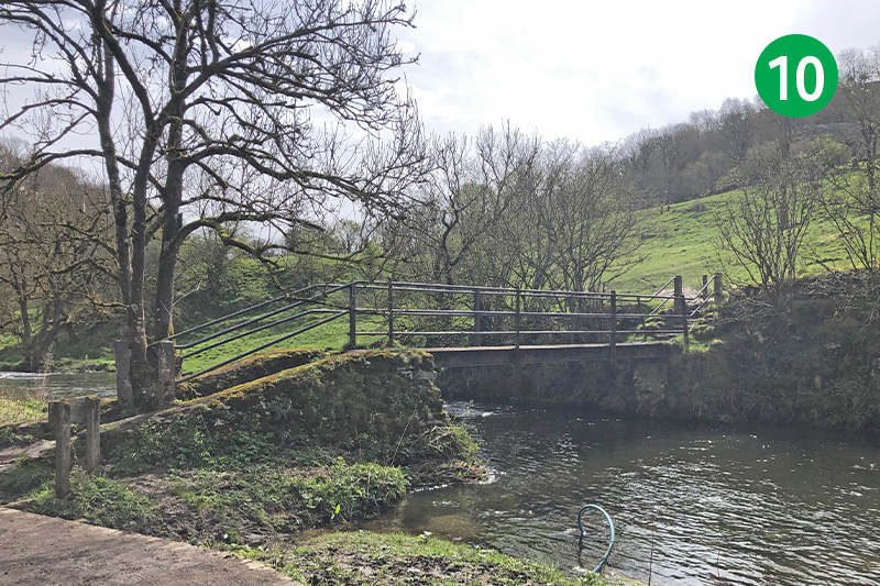
10: You pass a footbridge on your right. This will take you up to the Monsal Trail if you want to shorten the walk by following the obvious path diagonally left up the slope (turn right at the top). But to continue this route, simply stay on the path, keeping the river on yourt right.
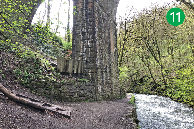
11: Eventually you reach a large viaduct where school children can often be seen abseiling from the top. Head up the steps on the left, just before the arch, to reach the Monsal Trail and then turn left at the top through Chee Tor Tunnel.
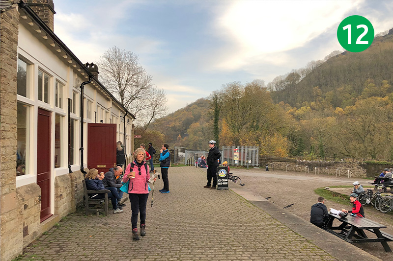
12: You soon come to Miller’s Dale Station where they serve teas and snacks, with inside and outside tables, as well as toilets. A recently-opened exhibition in a next-door building provides a brief history of both the station and the line.
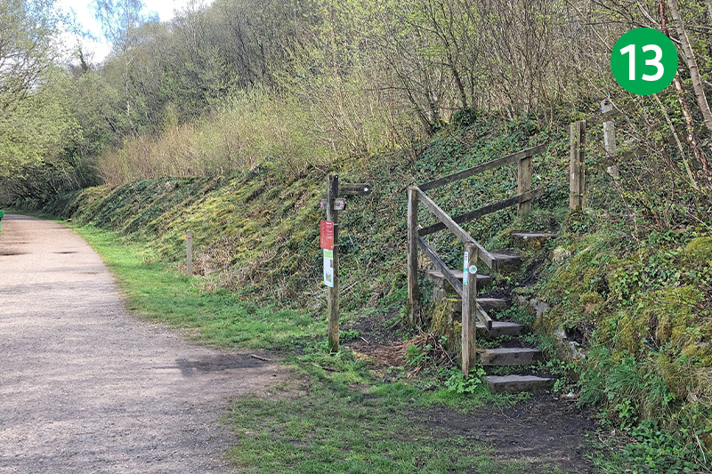
13: Continue along the trail and look out for a footpath sign on the right, just past the end of the viaduct, pointing towards the lime kilns. Climb the steps to the kilns, and then another set of steps on the right to reach a viewing platform. Go through a gate behind the platform, turning right up the slope.
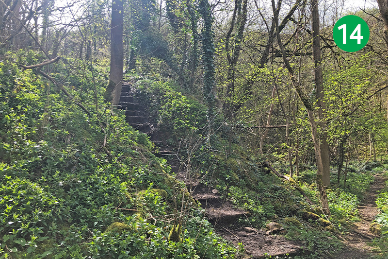
14: Follow the narrow path for some distance, going past the stone quarry, until you eventually reach another a set of rough steps on your left. Climb these and follow the narrow path up the slope until you can exit through a small gate into an open field.

15: Head slightly left towards a tree standing next to a gate. Go through the stile and keep in the same direction across another couple of fields until you reach a farm track.
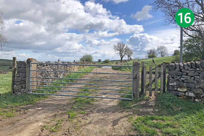
16: Follow this farm straight ahead for some distance until you can exit past some farm buildings onto a junction of lanes on the outskirts of Priestcliffe.
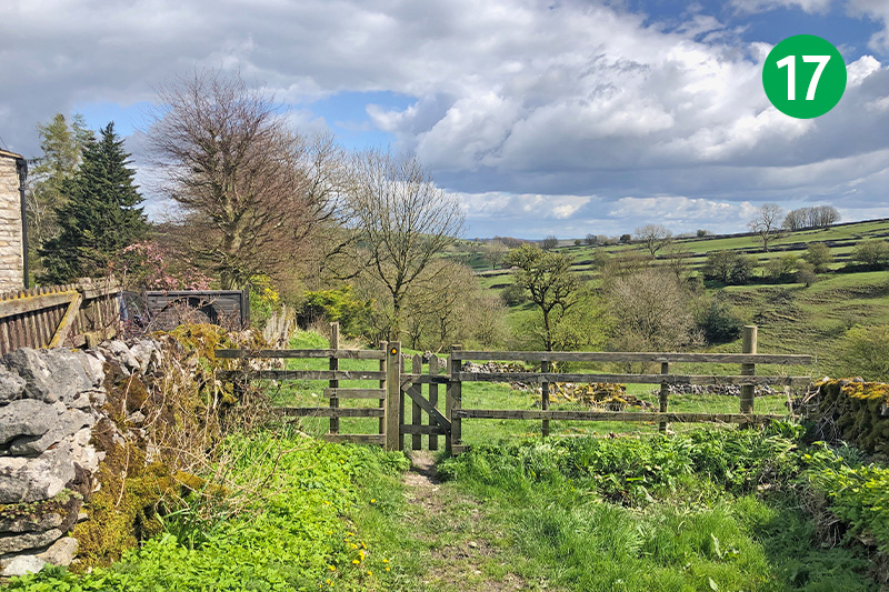
17: Turn left and then immediately right through a small gate beside a house, following the attractive path down the slope.
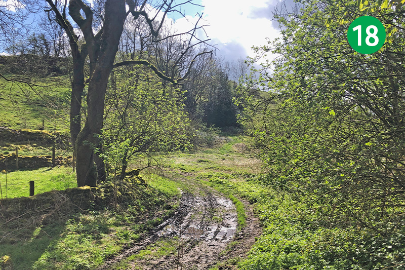
18: Follow the path around to your right. The path soon narrows between stone walls bordering farm buildings. Keep straight ahead until you exit beside a farm house.
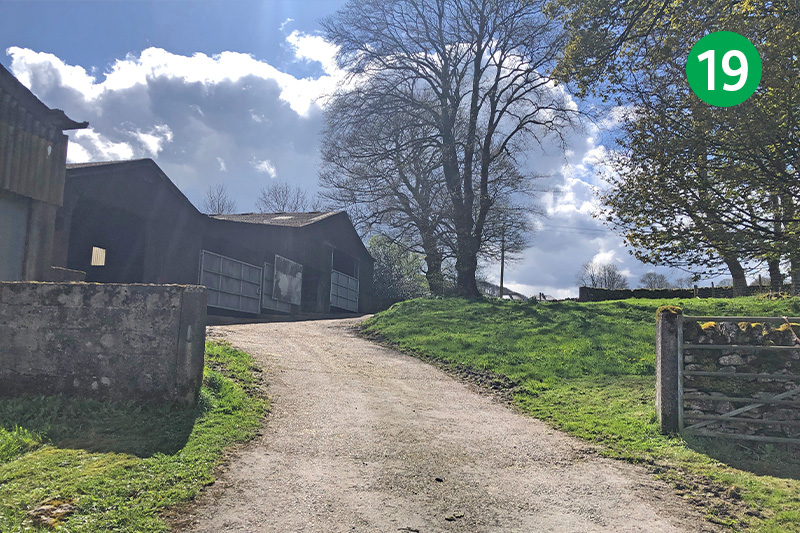
19: Go left and then immediately right up a wide track beside more farm buildings to reach a minor road.
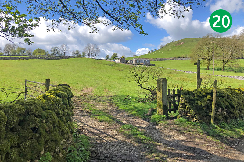
20: Turn right down the lane and then left after a short distance to follow a footpath sign across an open field towards some more farm buildings in the distance.
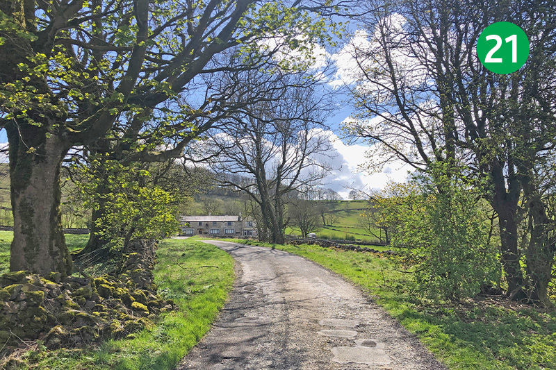
21: Turn left when you reach the narrow road, and cross straight ahead at the next junction of roads. You soon come to the busy A6 with the Waterloo pub on the other side. Head up the farm track to the left of the pub.
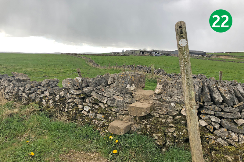
22: Follow this wide track for some distance as it snakes up the slope. Ignore the first footpath sign on the right. Take the one on the right just beyond a farm gate, following the path across a number of field stiles straight ahead, until you reach the road.
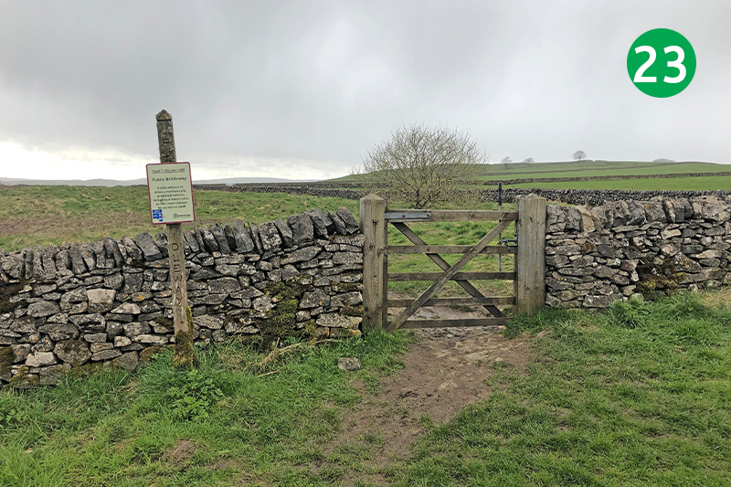
23: Turn right along the road, and then immediately left through a small gate. The narrow ditch on your right was a drift mine where they once extracted lead which lay close to the surface. Some of these date back to Roman times.
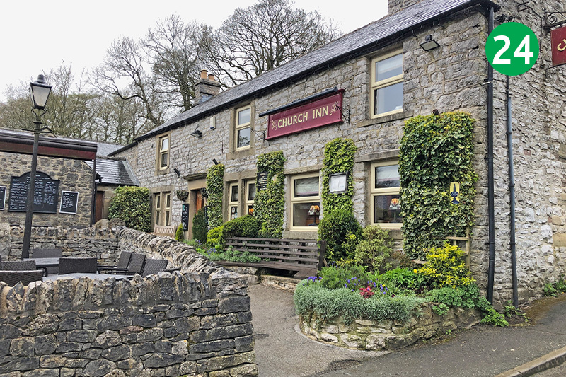
24: Follow the obvious footpath straight ahead for some distance, eventually dropping down into the small village of Chelmorton. The Church Inn on the right is a favourite of mine with an extensive menu of good food and an outside patio offering plenty of seating.
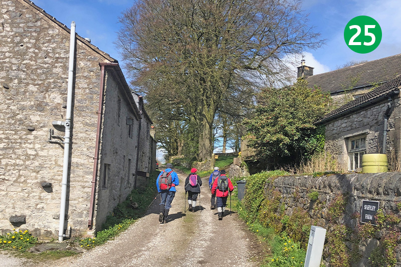
25: Turn right just beyond the pub along a wide farm track. This is Caxterway Lane and part of the Midshires Way. Keep to the left past farm buildings to reach a minor road. Turn right and immediately left along another farm track.
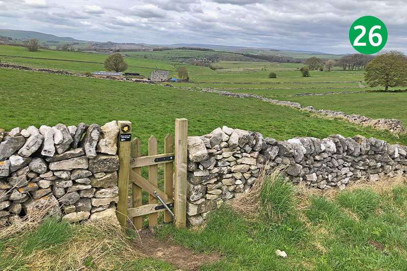
26: Follow this track between stone walls for some distance until you see a small gate leading into an open field. Follow the direction arrow towards a farm house in the distance, keeping to the right between another set of stone walls and then over a stile, heading to a metal gate to the right of the building.
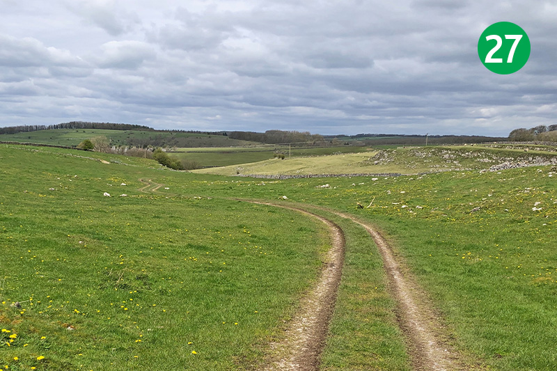
27: Follow the waymark arrows beside a number of small gates, keeping in the same direction until the path widens into more of a farm track which winds across a large open field. Head towards a stile in the far right hand corner of this field, beside the stone wall.
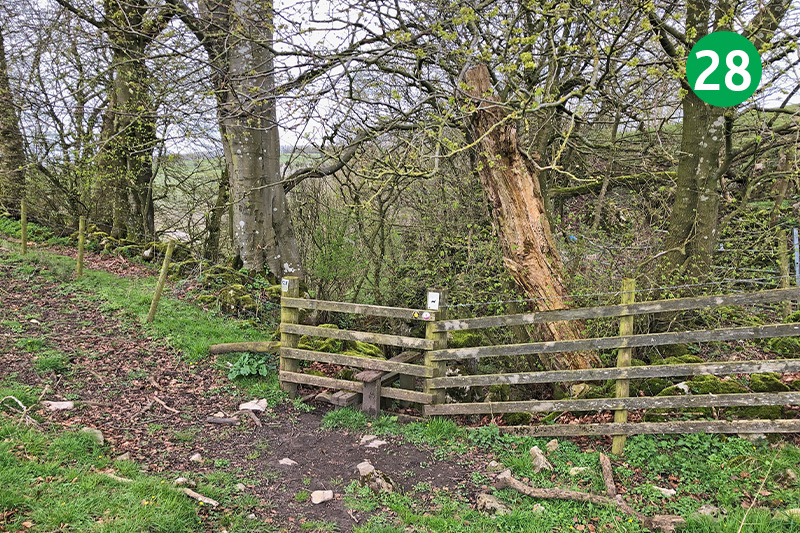
28: Keep beside the wall to reach a wooden stile at the far right of the next field. This leads down a fairly steep and rocky track which needs some care as it winds down the slope. Follow the obvious track straight ahead as you reach the foot of the dale.
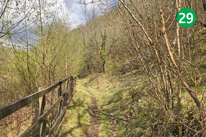
29: You soon come to a footpath on the left. This once led into Deep Dale – one of the five dales of the Derbyshire Dales. An information board explains that the path has been closed to enable the removal of waste from the quarry, and for the creation of a nature reserve. Keep straight ahead until you exit opposite Wyedale carpark.

