Topley Pike > Wormhill
Walk distance: 5 miles | Date recorded: 11 May 2024
Start point: Topley Pike layby | Google Map
Map app: View on OutdoorActive | Contact me for GPX file
Walk description
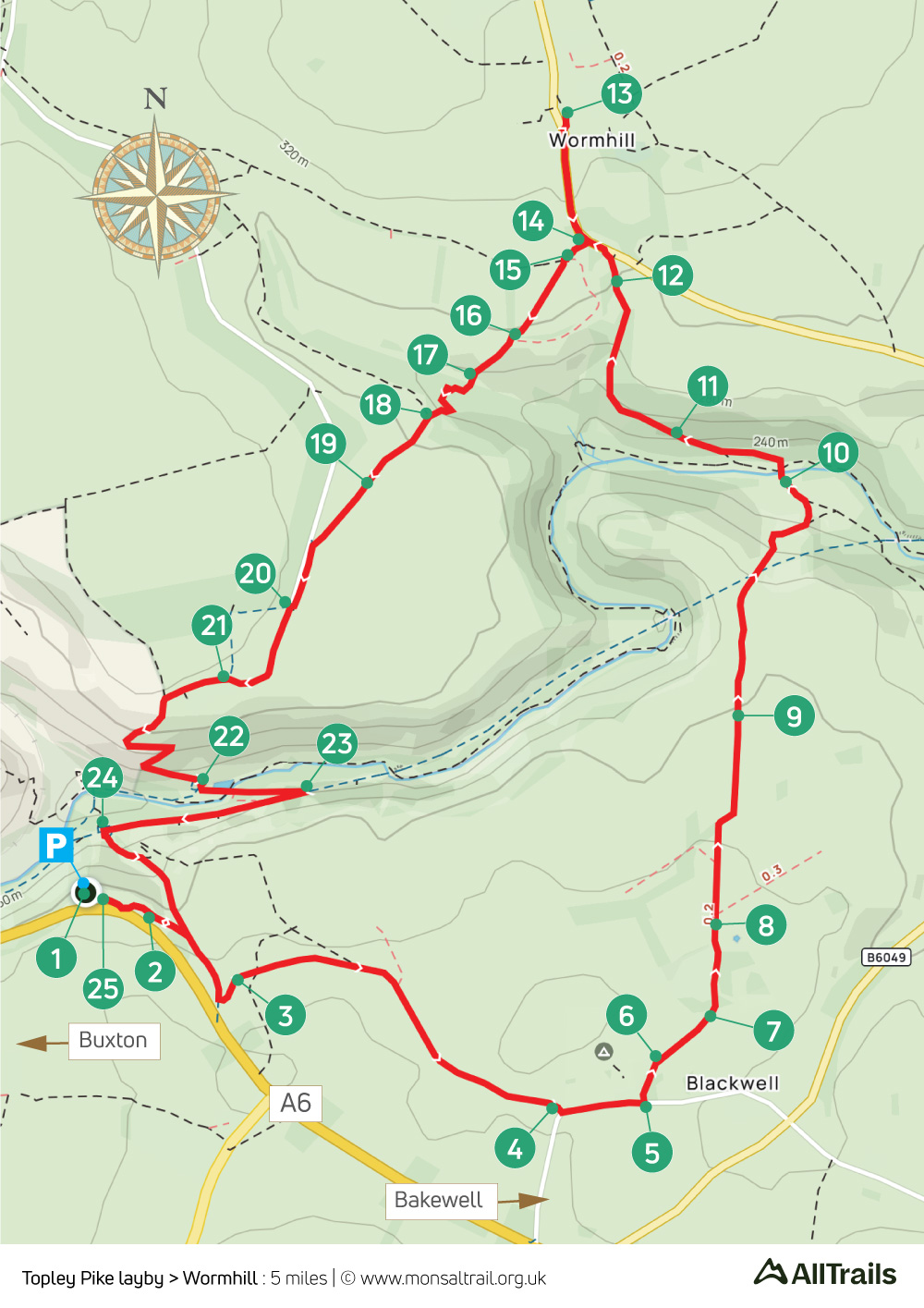
A fairly easy five-mile walk from Topley Pike lay-by which is just a few miles from Buxton beside the A6 to Bakewell. From here the route goes along wide tracks to the small hamlet of Blackwell, before crossing the River Wye to reach the attractive (but unfortunately named) village of Wormhill.
The return is across a mix of farm tracks and picturesque fields, plus a short stretch of the Monsal Trail, before heading back to the layby. Refreshment opportunities include the campsite at Blackwell, but opening times can vary. And Blackwell Mill Cycle Hire at the end of the Trail.
Personally, I’d recommend a picnic on the village green at Wormhill.
A ‘Relive’ version of the walk. Click to play and use the expand option to view in full-screen. Click here for more Monsal Trail ‘Relives’.
Click map to expand in a new browser tab.
Click here to open an A4 printable pdf of map.
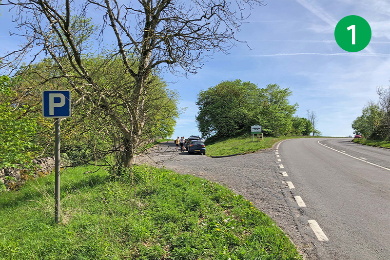
1: Topley Pike layby lies just a few miles from Buxton, beside the A6 to Bakewell. There are spaces on both sides of the old road. But with no parking charges, it can soon fill up on sunny weekends.
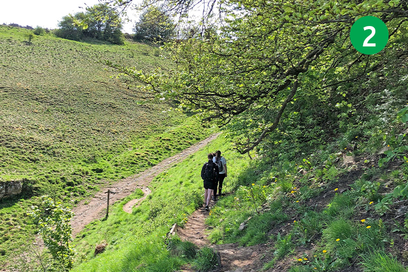
2: Go through a small gate in the stone wall at the far end of the layby, and head down the slope, turning right at the bottom. (Left will take you to the Buxton end of the Monsal Trail and Blackwell Mill Cycle Hire Centre where they also serve drinks, snacks and ice cream.)
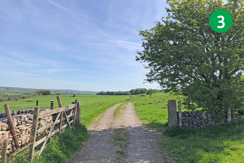
3: Go through a farm gate on the left, just a short distance up the slope, and follow the direction arrows pointing along the track to your left.
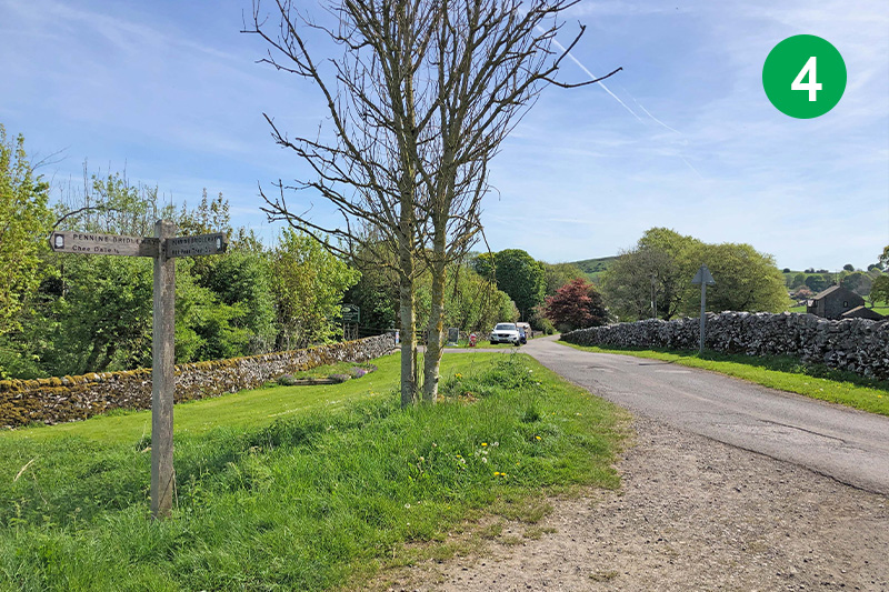
4: Follow this track for some distance until you exit at a minor road and turn left towards the hamlet of Blackwell, passing Beech Croft Farm Camping Park on your left. A small cafe on the site offers snacks, drinks and ice creams, but opening times can vary.
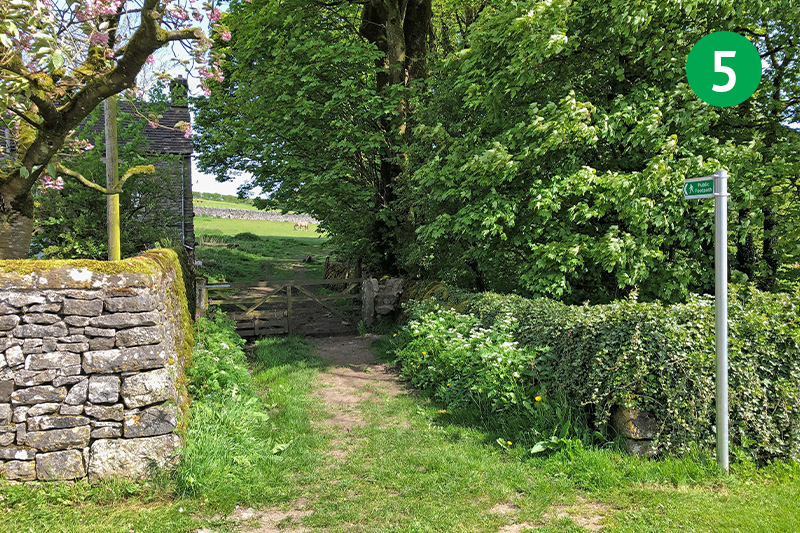
5: Look out for a footpath sign a short distance further on your left. Go over a stile next to the gate and head diagonally right towards a small gate in the wall.
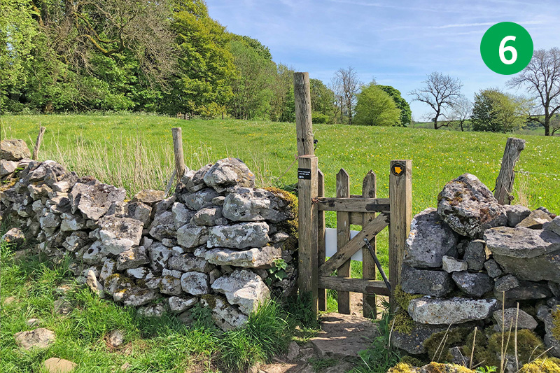
6: Continue in the same direction, following the small arrows beside a number of gates, until you exit through a small wood into a farm yard.
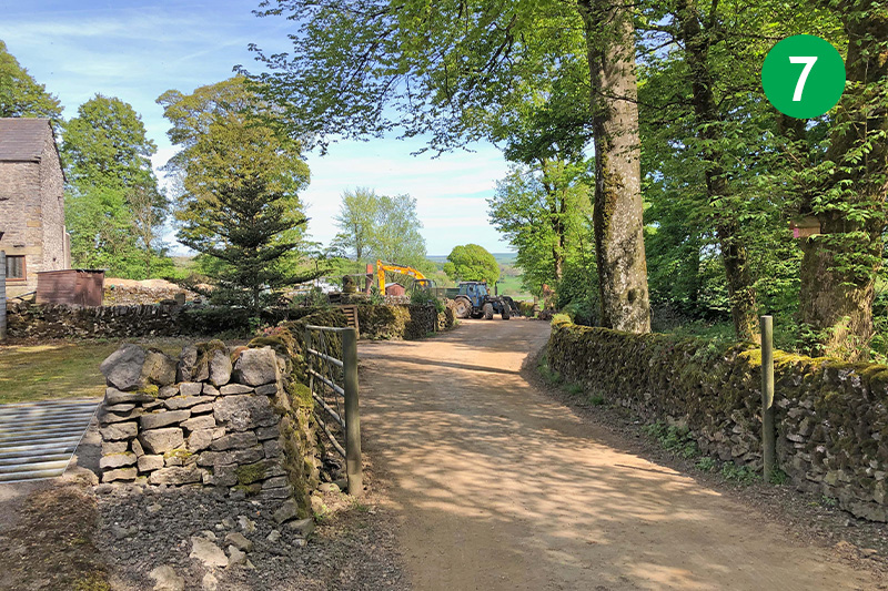
7: Follow the direction posts through the farm yard to reach a wide track.
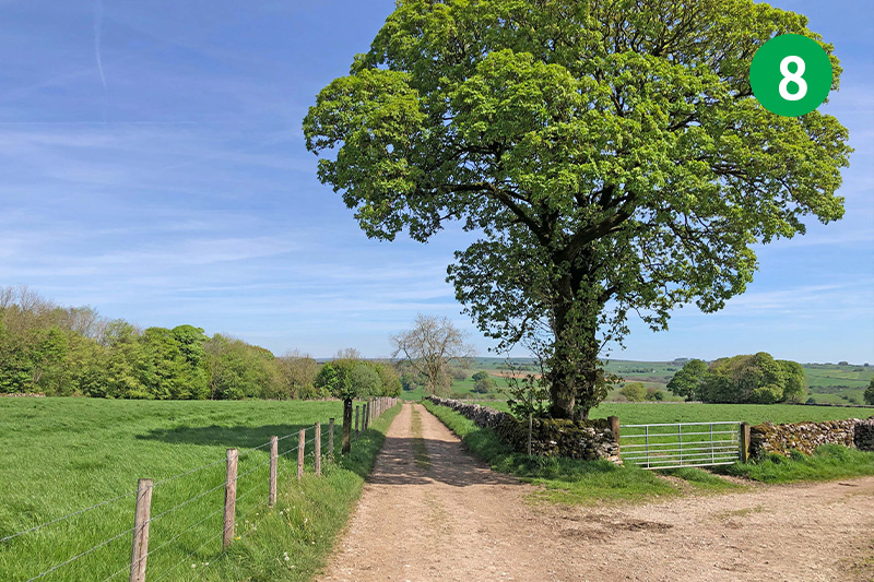
8: Stay on this track, straight ahead, for some distance until you reach the end. Turn right through a couple of gate posts and then immediately left, following the path beside the stone wall. As you near the end, head diagonally right towards a gate in the stone wall.
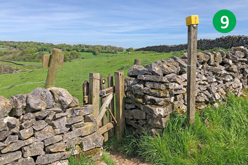
9: Follow the arrow posts across the fields, heading through a gap in the stone wall, and make your way down the steepish slope. Take any of the tracks going diagonally right until you pass the remains of a stone wall, and then head left towards a small footbridge over the River Wye.
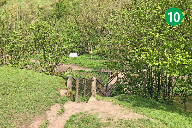
10: Cross the footbridge and go through a small gate directly ahead, and follow the narrow path as it rises up the slope.
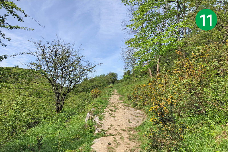
11: Stay on the path as it winds around to the right. Go through a gate leading into woodland, and follow the narrow path up the slope.
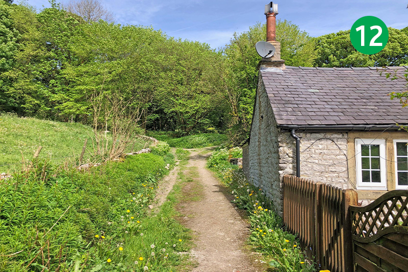
12: You eventually exit the path just past a house on the right. Turn left up the narrow lane towards the village of Wormhill. (There’s no pavement so some care is needed.) The route follow a footpath sign on the left, but it’s a short distance further to the attractive village green in Wormhill, which is a great spot to rest awhile.
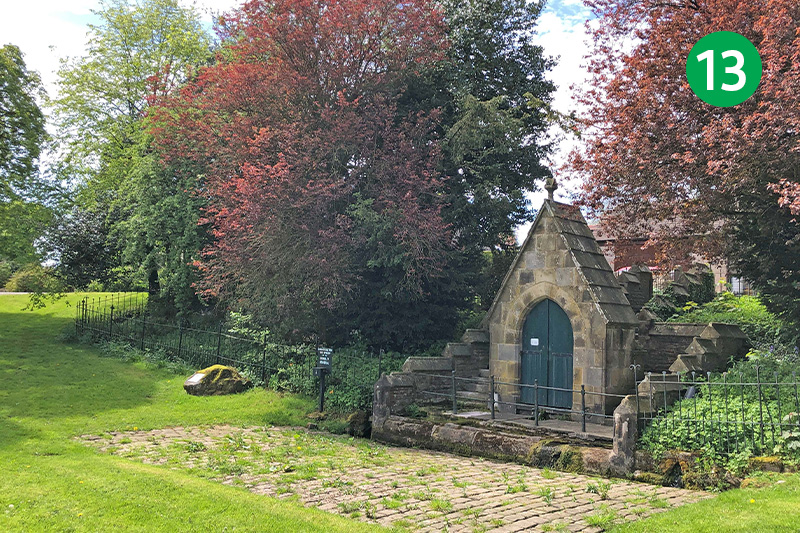
13: The village boasts an attractive church behind the green, as well as a set of stocks. There’s also a memorial to James Brindley who was born in 1716 at nearby Tunstead and known as the father of Britain’s canal system.
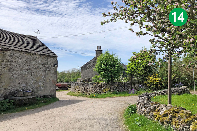
14: From the village green, retrace your steps back to the footpath sign, which is now on your right. Through here and follow the farm track between farm buildings on the left.
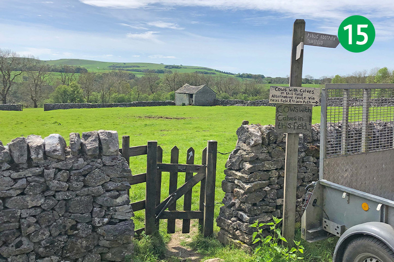
15: The footpath crosses the corner of a field but the farmer asks walkers to divert when there are cattle with calves grazing by turning right and then left beside the wall to reach the gate at the other side.
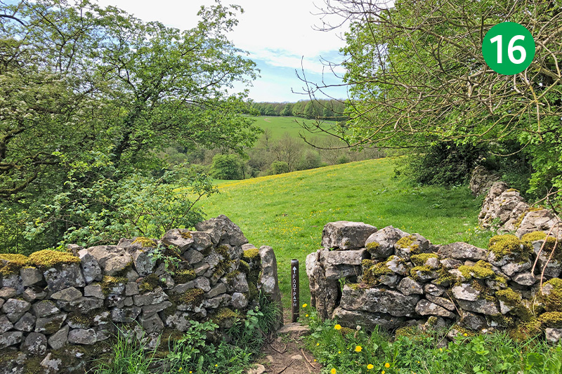
16: Follow the direction arrow on the second gate diagonally left down the slope, passing through a gap in the stone wall at the far right corner of the field.
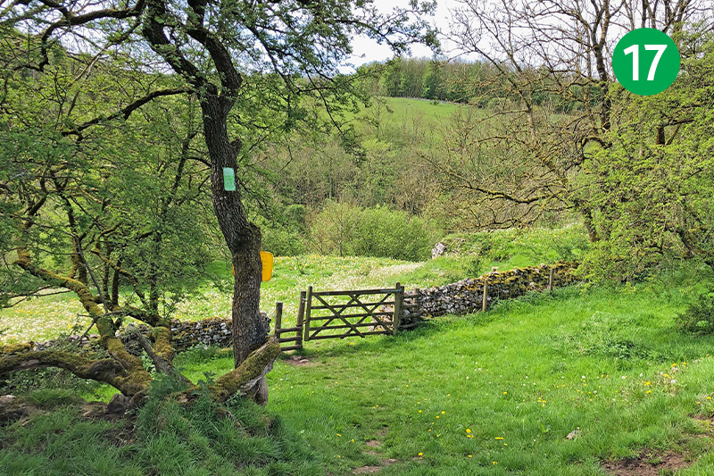
17: Continue in the same direction down the slope, crossing a stile beside a farm gate at the far end of this large field. Follow the path down the rough track and then up the other side.
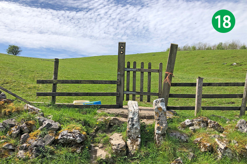
18: As the path opens into a wide field, follow the direction arrow beside the small gate diagonally left up the slope.
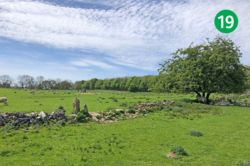
19: Continue in the same direction, gthrough a wide gap in the stone wall to reach a gate in the far left corner.
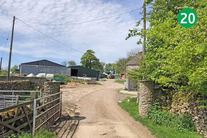
20: Go through the gate, turning right and immediately left through another gate to reach a wide farm track. Turn left along here, eventually passing between farm buildings, and following direction arrows marked PBW (Pennine Bridleway).
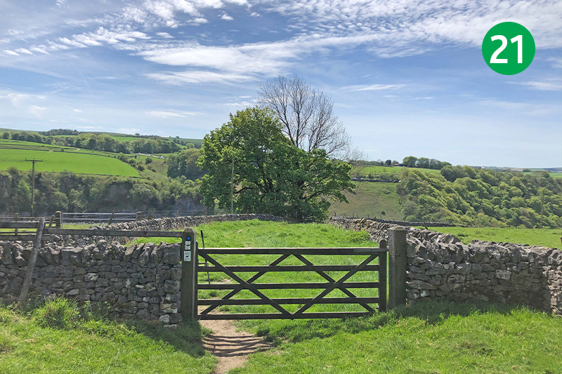
21: Follow the next footpath sign, marked Chee Dale, to the left, passing through a farm gate and then stay on the narrow track as it winds down the slope.
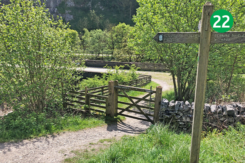
22: Go through the small gate at the bottom of the slope, and turn left over a viaduct. This was the track of Midland Railway’s line between Miller’s Dale and Peak Forest, heading for Manchester. (Click here for more on the railway.)
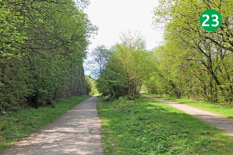
23: Turn right when you reach the Monsal Trail. Midland Railway also owned this line into Buxton. Their plan was to join a recently-opened line between the spa town and Manchester. But they couldn’t reach agreement with their rival rail company. Which is why they were forced to create the diversion through Peak Forest.
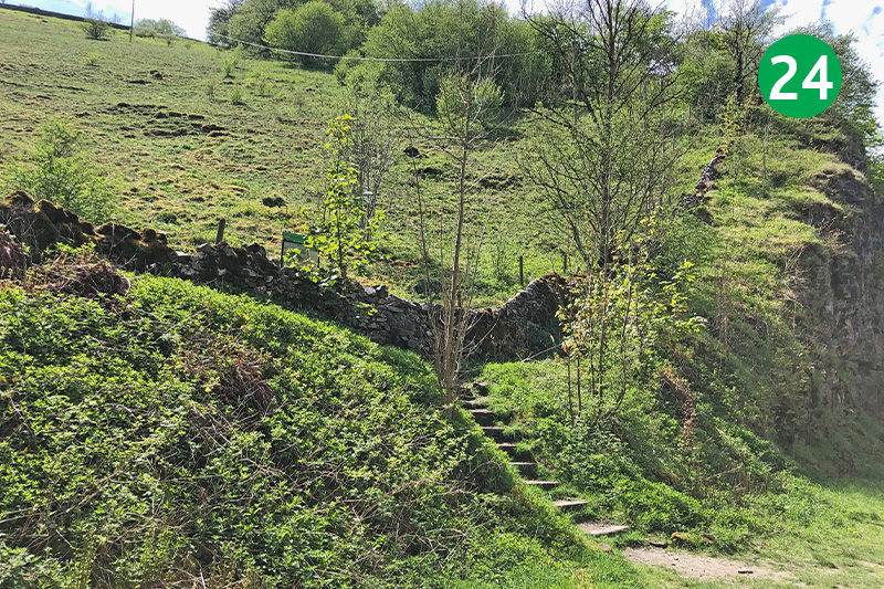
24: A gate on the right as you reach the end of the Trail will take you down to Blackwell Mill Cycle Hire where they serve drinks, snacks and ice creams. (It’s closed during winter months.) To return to Topley Pike layby, climb the steps on the left of the Trail.
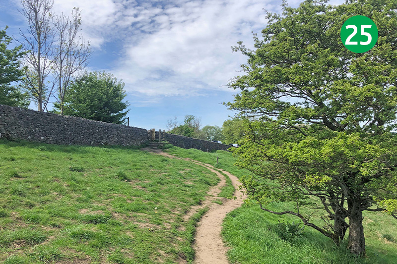
25: Cross the stile and follow the track diagonally left up the slope, turning right at the footpath sign to reach the carpark.

