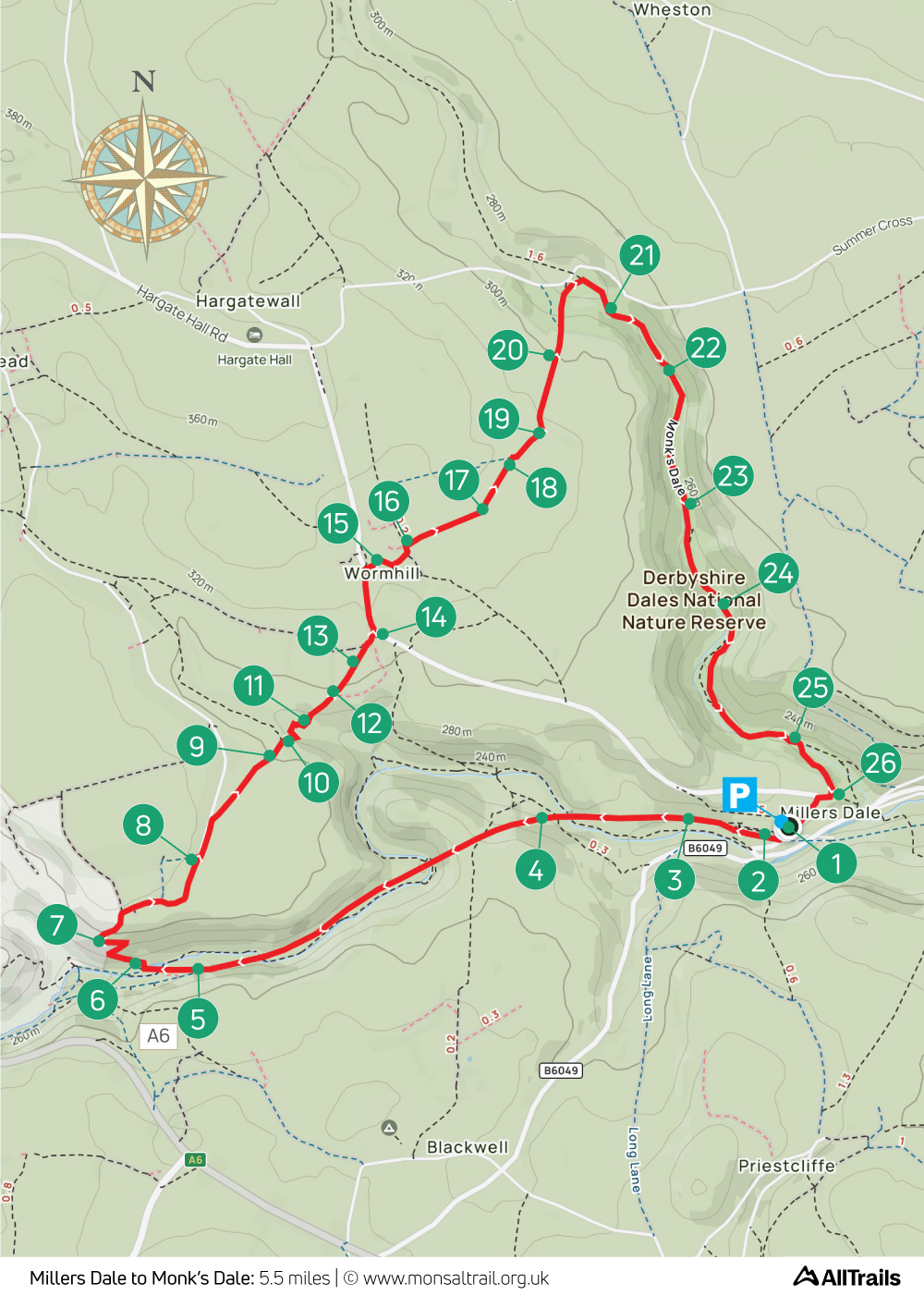
Miller’s Dale > Monk’s Dale: 5.5mls
Walk distance: 5.5 miles | Date recorded: 25 June 2024
Start point: Miller’s Dale Station carpark | Google Map
Map app: View on OutdoorActive | Contact me for GPX file
Walk description
This 5.5-mile walk starts from Miller’s Dale Station which has a popular cafe as well as toilets. It’s difficult to imagine that this fairly remote spot once rang to the sounds of inter-city steam trains on Midland Railway’s busy London to Manchester line (click for brief history).
Monk’s Dale has a truly magical atmosphere but is quite difficult to walk through, with thick vegetation and a rocky path which can be slippery. So walking boots are definitely recommended, especially during winter months.
There’s a bus stop near the Anglers Rest pub which is just a short distance away in Miller’s Dale village, on the bus route between Buxton and Tideswell. The nearest train stations are at Buxton and Grindleford.
A ‘Relive’ version of the walk. Click to play and use the expand option to view in full-screen. Click here for more Monsal Trail ‘Relives’.
Click map to expand in a new window.
Click here to open an A4 printable pdf of map.
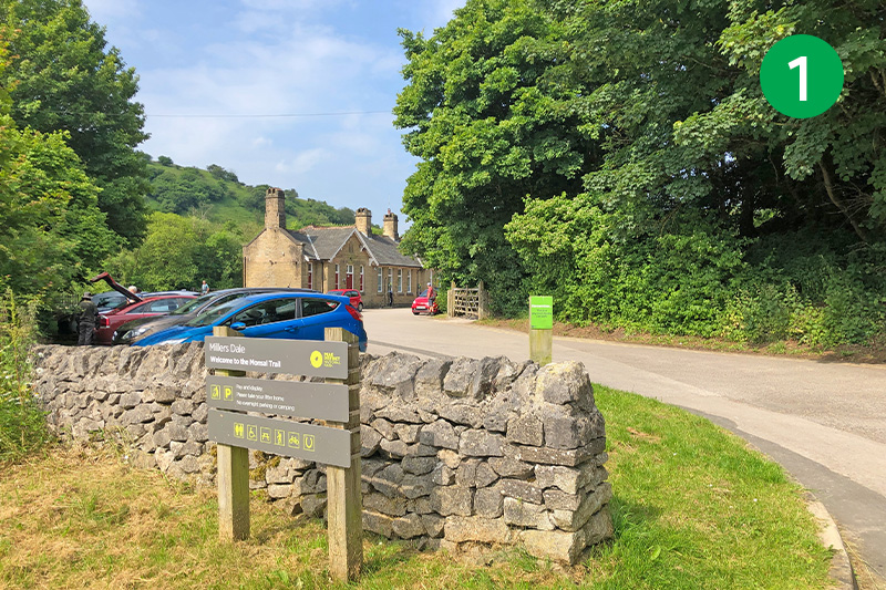
1: Miller’s Dale Station is signposted from the road between Tideswell and the A6. It’s a ‘pay & display’ carpark. There’s a layby with a few free spaces beside the main road but they soon get snapped up.
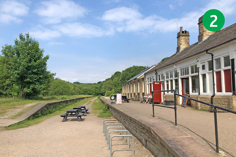
2: Go past the station buildings to reach the Monsal Trail and turn right, passing the old platforms. An information board explains that this was once the railway’s largest and busiest station on their line between Manchester and Derby, and on to London St Pancras.
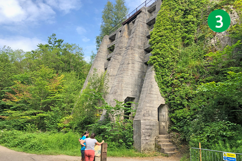
3: You soon come to an impressive pair of lime kilns on the right. Another information board explains that they once produced over 50 tonnes of quicklime a day from between 1880 and their closure in 1944. It’s worth climbing the narrow path beside the kilns to enjoy the view from the top.
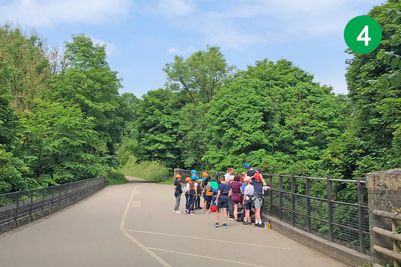
4: Continue along the Trail, going through a number of tunnels which were only fully opened in 2011. You will often see groups of school children trying their hand at abseiling from the sides of the tall viaducts down to the banks of the River Wye below.
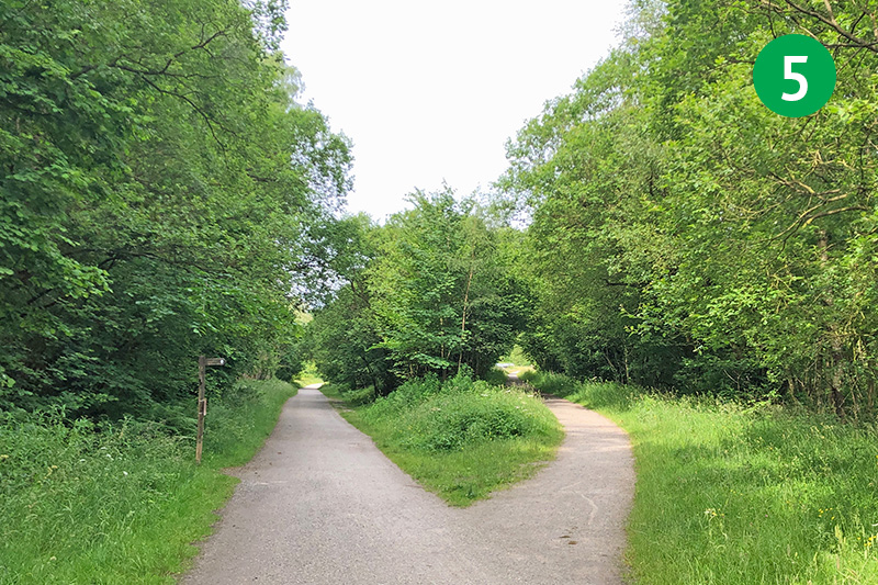
5: As you near the end of the Trail, follow the track that branches off to the right, signposted Pennine Bridleway. Midland Railway were forced to create this diversion to Manchester after a rival rail company refused to allow them to share their route from Buxton.
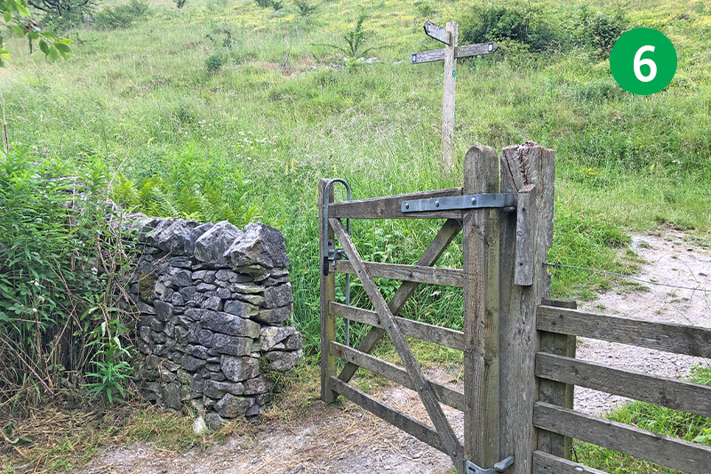
6: Follow the track over a viaduct to reach a small wooden gate. Go through here and turn left up the narrow path.
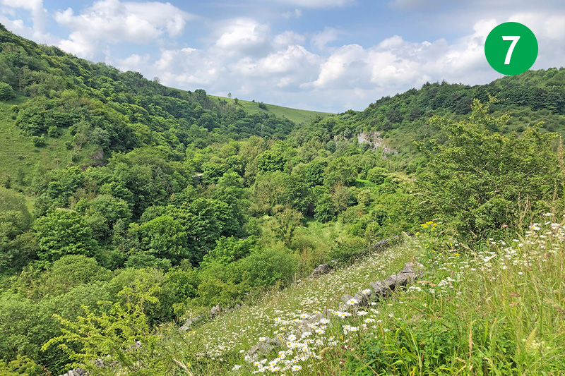
7: There are some wonderful views from this path as it winds up the slope. At the top, go through a wide gate, following the ‘Pennine Bridleway to Wormhill’ signs around to the right and passing to the left of farm buildings, to exit through a pair of stone pillars onto a wide farm track.
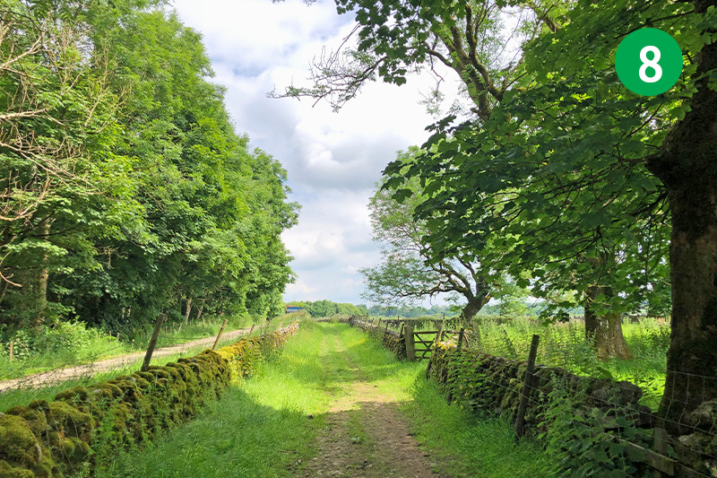
8: After a short distance, follow the Pennine Bridleway footpath sign on the right to enter a track between stone walls, which runs alongside the lane. Follow the direction of the footpath sign at the end of the track across the wide field.
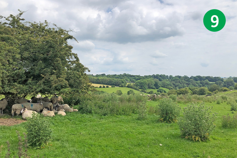
9: Head towards a small tree on the horizon, with the remains of a stile on the right. Then go down the slope on the right, keeping the stone wall on your right, to reach a small gate at the far right corner of the field.
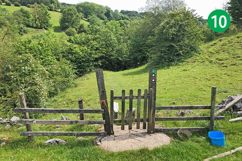
10: Go through a small wooden gate, following the obvious path as it winds down the slope and then up the other side.
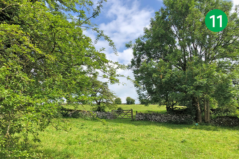
11: Pass through a wide farm gate, and keep in the same direction up the slope.
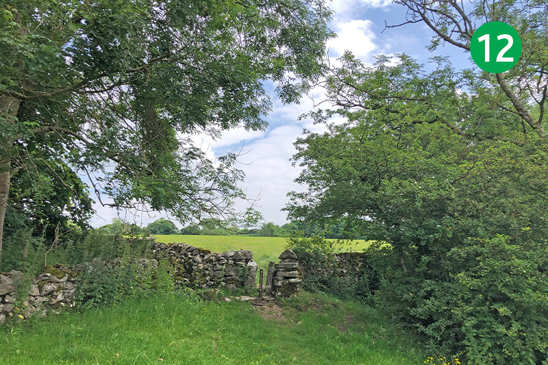
12: Go through a narrow stile in the next stone wall, following the direction arrow to reach some farm buildings in the distance.
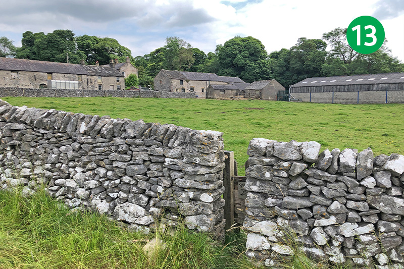
13: The route leads to a small gate in a field wall. If there are cows and calves in the field, it’s best to avoid crossing the field, and to keep to the outside of the wall. Go through a metal gate into the farmyard, and then follow the footpath signs to exit onto the road.
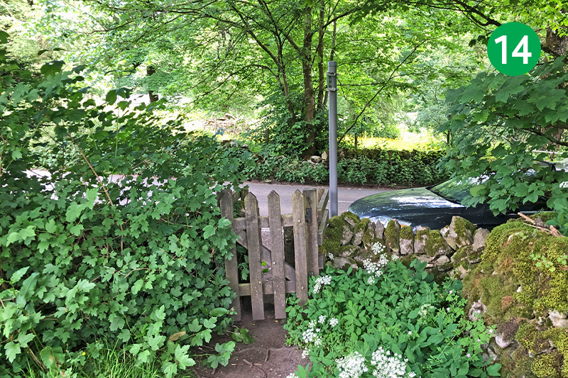
14: Go through the small gate in the far right corner of the garden, and turn left along the road. There’s no pavement at this point so some care is needed, but it’s only a short distance to reach the village of Wormhill.
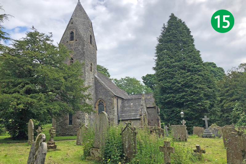
15: The route follows the sign to the parish church on the right. There are benches in the churchyard to rest awhile and take in the peaceful surroundings. Another option for a refreshment stop is Wormhill’s village green which is just beyond the turning.
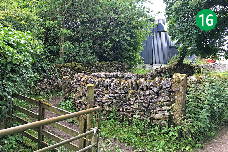
16: Follow the lane to the left of the entrance to the church, and then turn left along a narrow track between stone walls, passing a large farm buildings to enter a farm yard across a wooden stile. Turn right here and go through some large metal gates into an open field.
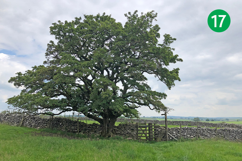
17: Keep in the same direction until you reach the corner of some stone walling, and then head towards a single tree in the distance. Follow the direction of a footpath sign beside the tree, through a wooden gate.
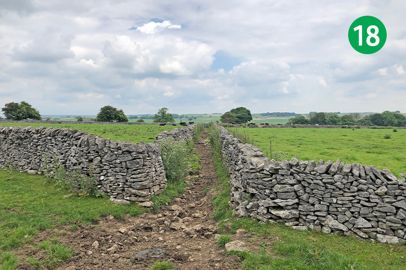
18: Look out for a narrow track between two stone walls on your right. Go along here and then keep in the same direction when you reach an open field.
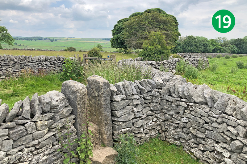
19: At the far right corner of the field, cross a stone stile and turn right through a wooden gate. Follow this attractive track for some distance down a gradual slope.
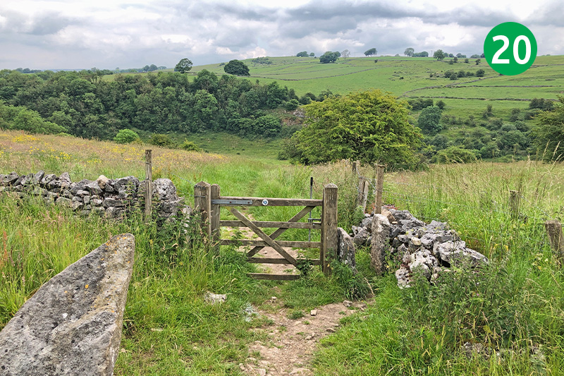
20: Go through a gate at the end of the track and head down the open field, following the obvious path down to the lane in the distance. The footpath to Monk’s Dale is signposted to the right from the road, but you can head diagonally right towards it at any point down the slope.
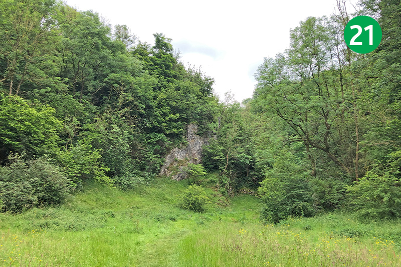
21: An information board by the entrance recommends visiting in April and May “…when the woods come alive with birdsong and plants”. Adding that “…the grasslands are at their best in May and June when carpets of early-purple orchids and common rock-rose welcome the visitor”.
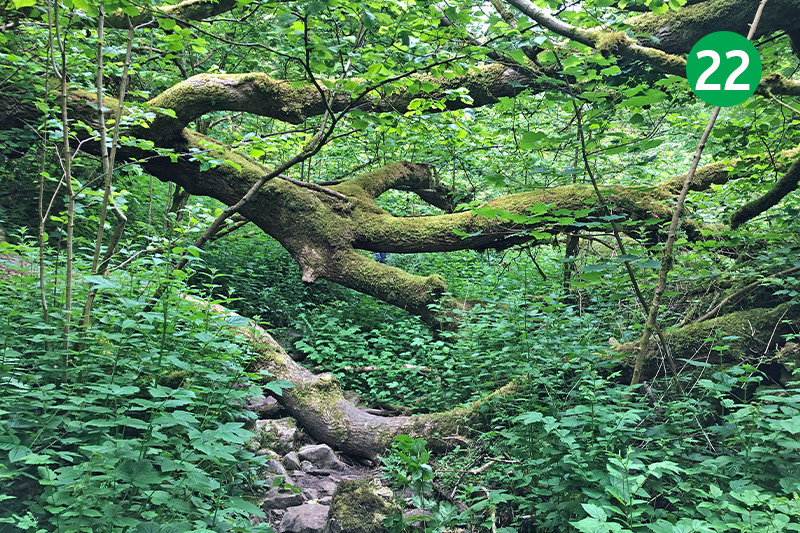
22: The path can be quite difficult and needs care to find a way across the stones – which are usually damp and slippery. The undergrowth can also get quite dense with shrubs and fallen trees. But I always find the dale a magical spot and well worth the effort.
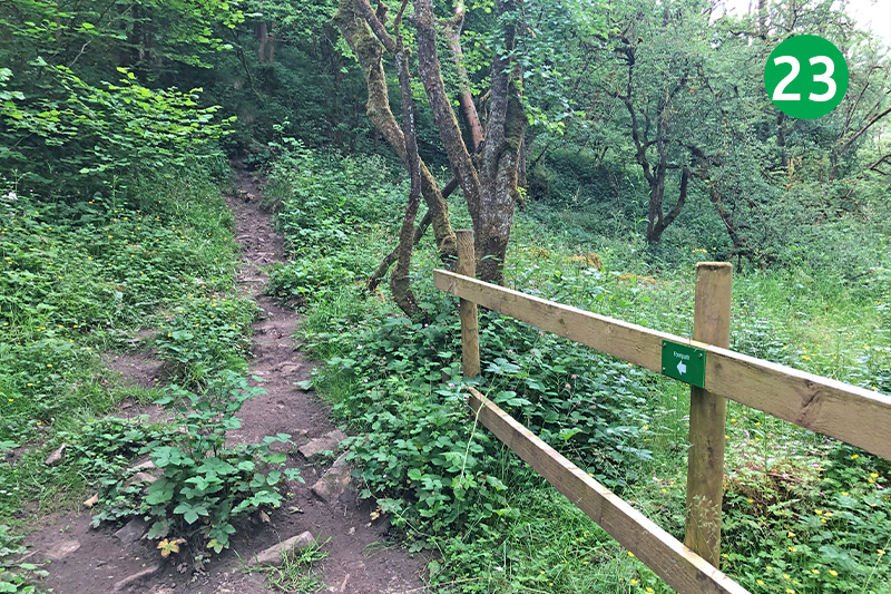
23: Head up the slope when you reach a wooden barrier across the path. (This may be temporary – but even it it’s been removed and the path ahead is clear, I prefer to follow the higher route.)
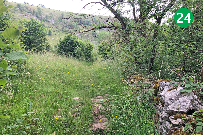
24: Continue along the obvious track between the shrubs following the path as it slopes gently up the side of the gorge, before dropping down again.
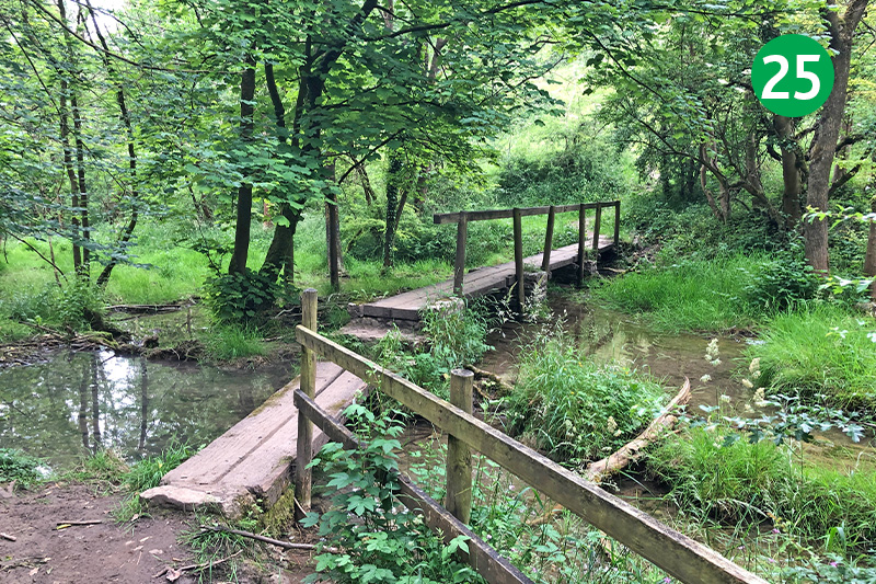
25: Keep to the narrow track beside the stream as it winds along the valley floor. This section of the route can get quite water-logged during winter and autumn months, but it’s usually fairly easy to find a way through. Cross the small footbridge at the end of the path and follow the track up the slope to the left.
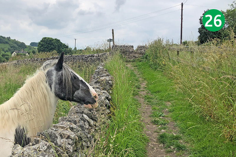
26: At the top of the slope, go through two small gates to reach the road, turning left to return to Miller’s Dale carpark. But there is a path on the left, just before the first gate, that will take you down to the Anglers Rest pub.

