22. Hassop > Longstone Edge
Walk distance: 5 miles | Date recorded: June 2024
Start point: Hassop Station | Google Map
GPX file: Just £1.50 | Download file
Walk description
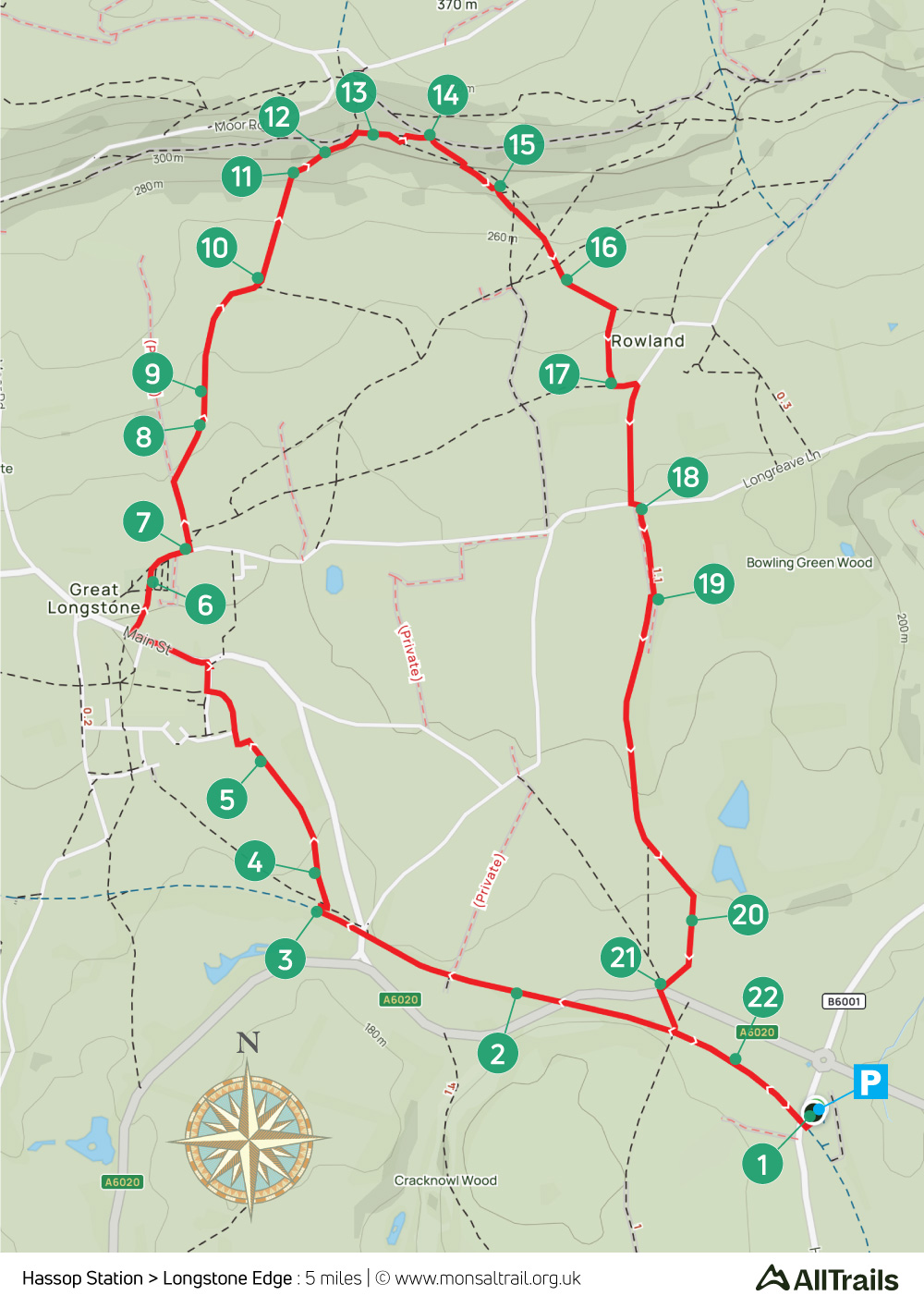
This walk of just under five miles starts from Hassop Station, with a short stretch along the Monsal Trail before heading through Great Longstone up to Longstone Edge. There are are some wonderful views from here across the White Peak landscape, with the return along field paths.
The slope up to the Edge is fairly gentle, with a steeper section as you near the top. Sections can also a bit overgrown with ferns in summer months. Hassop Station has a popular cafe, and there are two pubs in Great Longstone, both close to the route – The White Lion and The Crispin.
The carpark at Hassop Station is ‘pay & display’. But the cafe-owners often open a nearby field on busy days with free parking.
A ‘Relive’ version of the walk. Click to play and use the expand option to view in full-screen. Click here for more Monsal Trail ‘Relives’.
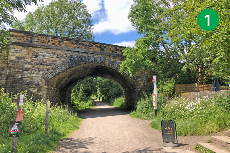
1: From the car park, go past Hassop Cafe to reach the Monsal Trail and turn right, under the bridge. The cafe was once a waiting room for Hassop Station, one of five disused railway stations along the Trail (click for information and photos).
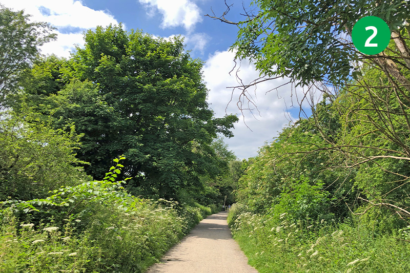
2: Completed in 1863 to link Derby with Manchester, the line closed just over 100 years later in 1968 following the Beeching Report. It then lay derelict until 1981 when the track was transferred to the Peak District National Park to create the Monsal Trail (click for brief history of the railway line).
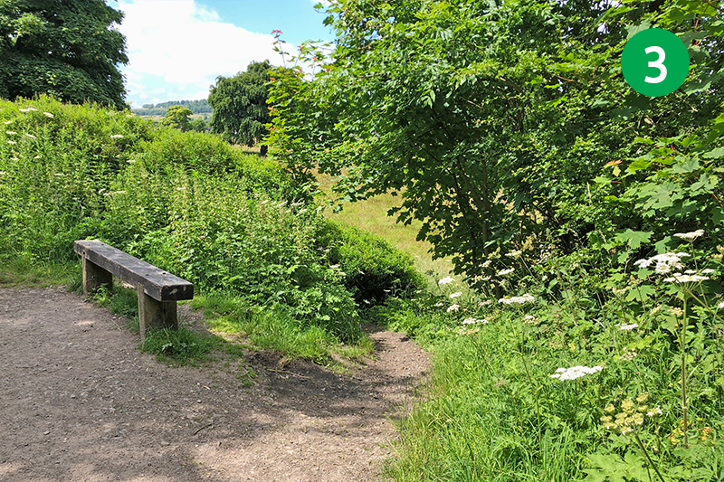
3: After a short distance along the Trail, follow a footpath sign to Great Longstone, opposite a wooden bench. Head down the slope behind the bench and turn left at the next footpath sign, following the direction arrow slightly right, across a wide field.
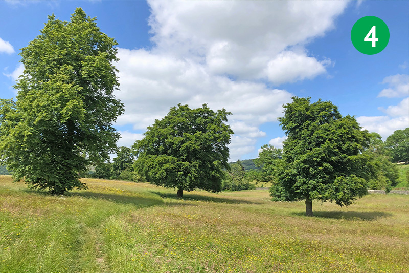
4: Follow the path between a group of three large trees, and then head slightly right to pass through a small wooden gate.
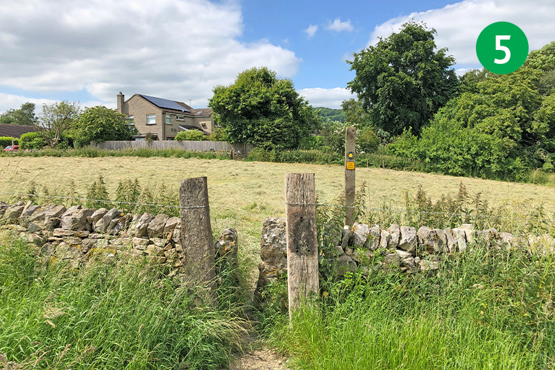
5: Keep in the same direction, following the path across the field, and passing through another stone stile towards some houses in the distance. Follow the path around the side of the house, and then stay on the road, straight ahead through the estate, turning right at the next junction, and then left when you reach the main road.
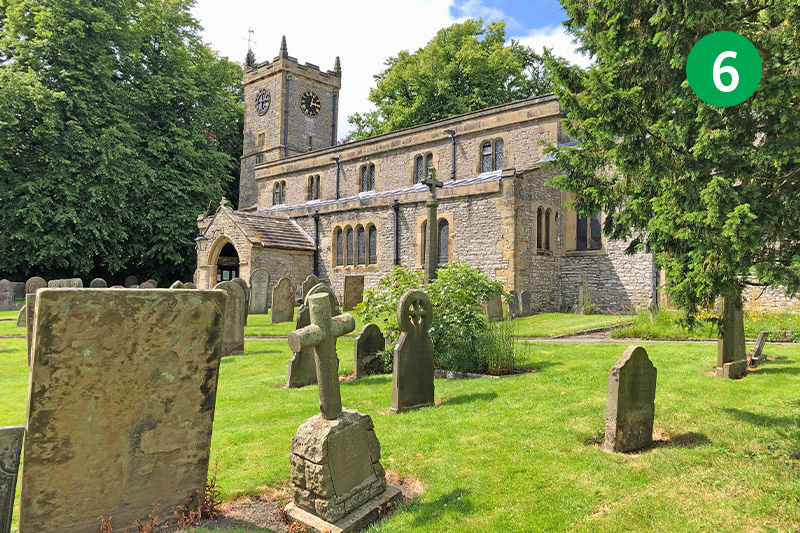
6: After a short distance, turn right along Church Lane, just before the White Lion pub on the left. Go past St. Giles Church on your left, following the road as it curves around to the right.

7: Follow the next footpath sign on the left along a farm track to reach a farm gate, and then head diagonally right towards a gate in the corner of a stone wall next to a bench.
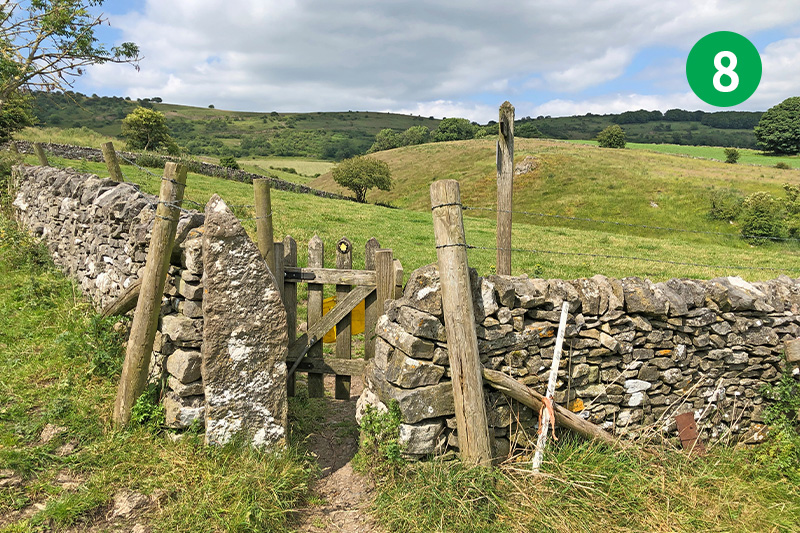
8: Follow the direction arrow on the gate towards a single tree at the other end of the field.
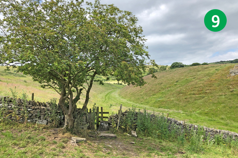
9: Go through the gate beside the tree and keep in the same direction, following the wide path as it curves around to the right through the valley.
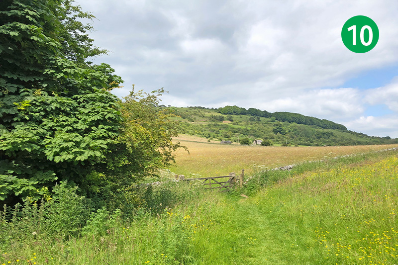
10: Look out for a farm gate on the left, leading into a wide field. Go through the gate and head slightly left, following a fairly indistinct path as it slopes gently up towards Longstone Edge on the horizon.
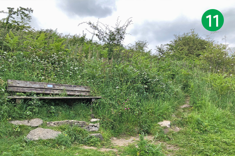
11: At the end of the field follow the narrow path to the right of a wooden bench as it winds up the slope. This section can get quite overgrown with ferns during summer months.
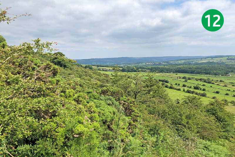
12: There are some wonderfully panoramic views across the White Peak from this path as it approaches the summit of Longstone Edge, which stretches for around four miles between Monsal Dale and Calver.
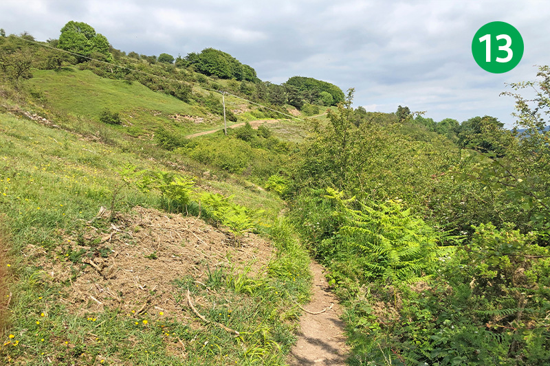
13: The path becomes easier to follow as it levels out. Keep along it, with the views on your right, to reach a gate leading onto a wider track. Go through here and follow it for a short distance until you reach a footpath sign pointing down the slope to your right.
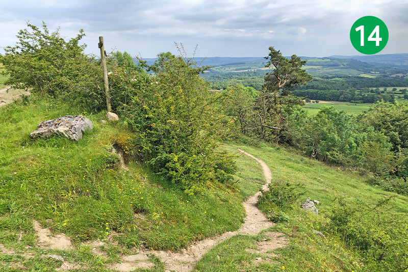
14: Follow the narrow path as it winds down the hillside, ignoring another path that cuts across it and keeping on the steeper slope. Again, this path can get quite overgrown but it’s only for a short distance. You eventually reach a small wooden gate.
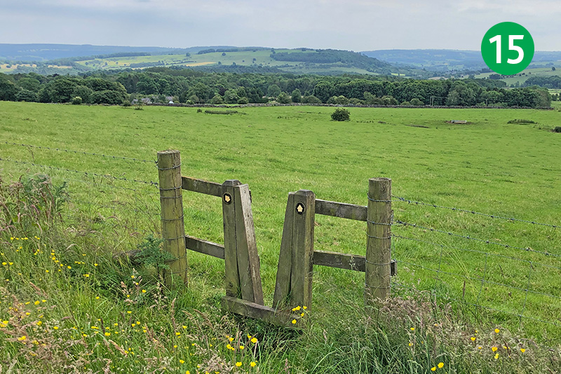
15: Follow the path in the same direction down the slope to reach a stile with two direction arrows. Take the one pointing diagonally left.
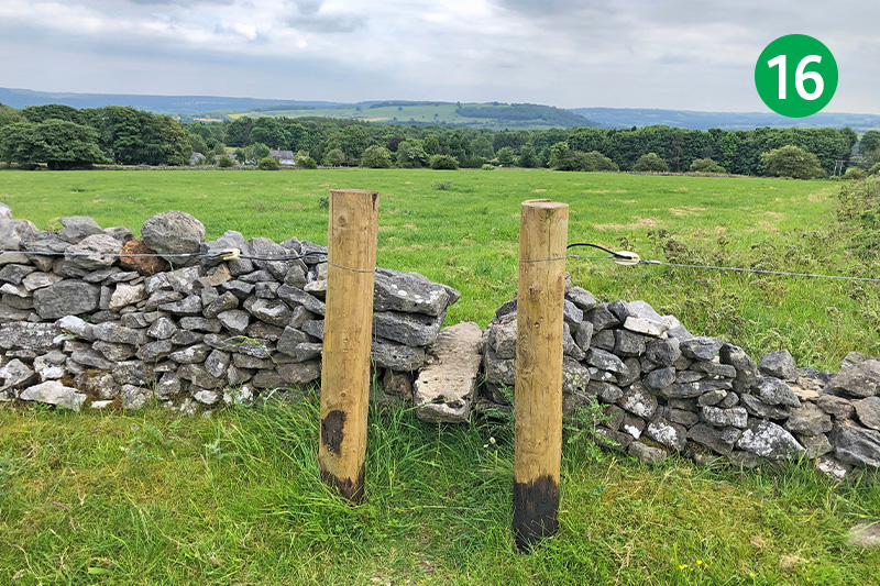
16: Cross a stile between posts in the far wall, keeping in the same direction across another large field. Go through a wooden gate, following the fairly faint path straight ahead, and then through a gap in the next stone wall.
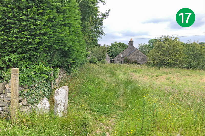
17: Head diagonally left and then follow the path beside a row of tall trees to reach a narrow road. Turn right along the lane, away from the village of Rowland.
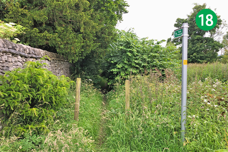
18: Turn left at the next road junction, and then immediately right, folling the path alongside a tall wall which borders Hassop Hall.
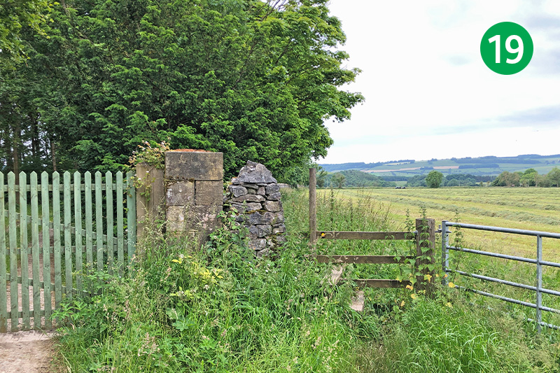
19: Keep in the same direction, past a wooden gate, following the footpath sign across a stile and keeping to the right of the stone wall.
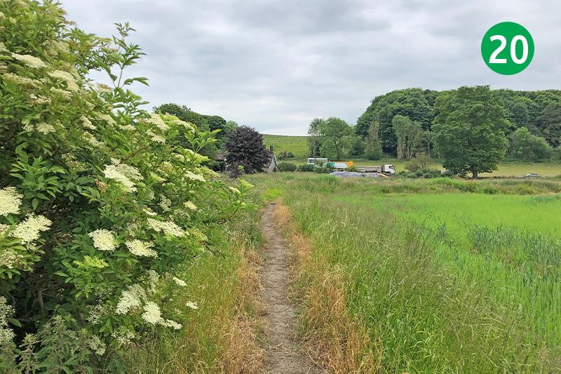
20: The public footpath goes diagonally right across the last field – just beyond the trees on the left – but it’s easier to keep to the edge of the field – and reduces damage to any growing crops.
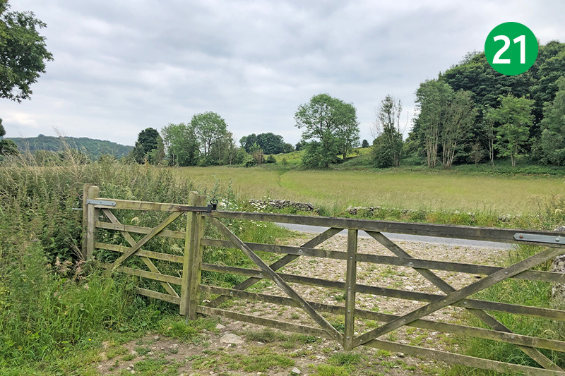
21: Go through the farm gate at the end of the field, crossing the road slightly left through a gap in the stone wall on the opposite side, and follow the path diagonally left across this field to reach the Monsal Trail. Look back from this path and you’ll see a gate fixed to the upper wall of a house, signifying that it was once a toll house.
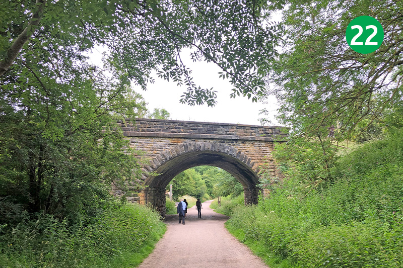
22: Turn left and it’s just a short distance back to Hassop Station.

