Miller’s Dale Wild Flowers
Walk distance: 2 miles | Date recorded: 6 September 2024
Start point: Miller’s Dale Station | Google Map
Map app: View on OutdoorActive | Contact me for GPX file
Walk description
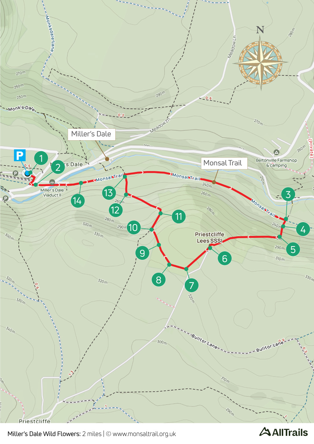
Recorded on a late afternoon on the approach to autumn, this short, two-mile stroll from Miller’s Dale Station follows what’s known as the ‘Wild Flowers Walk’. It was too late in the year to enjoy any flowers in bloom, but the wonderful views more than made up for it.
From the Trail, the walk rises fairly steeply along the border of Priestcliffe Nature Reserve, on a narrow path that can get quite overgrown. From the top of the slope, the path winds around open fields before dropping back to the Trail, closer to the old station.
The cafe at the old station serves a range of snacks, drinks and ice-creams. And the Anglers Rest pub is well signposted from point 13 on the map.
A ‘Relive’ version of the walk. Click to play and use the expand option to view in full-screen. Click here for more Monsal Trail ‘Relives’.
Click map to expand in a new browser tab.
Click here to open an A4 printable pdf of map.
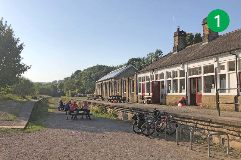
1: From Miller’s Dale Station, turn left along the Monsal Trail, crossing one of two viaducts that once carried trains linking Manchester and Derby, and on to London St Pancras (click for information and photos on the station).
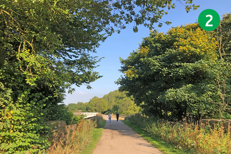
2: Follow the Trail for some distance, passing a footpath sign on the left which leads down to the village of Miller’s Dale. (The popular Anglers Rest pub in the village is always worth a visit.)
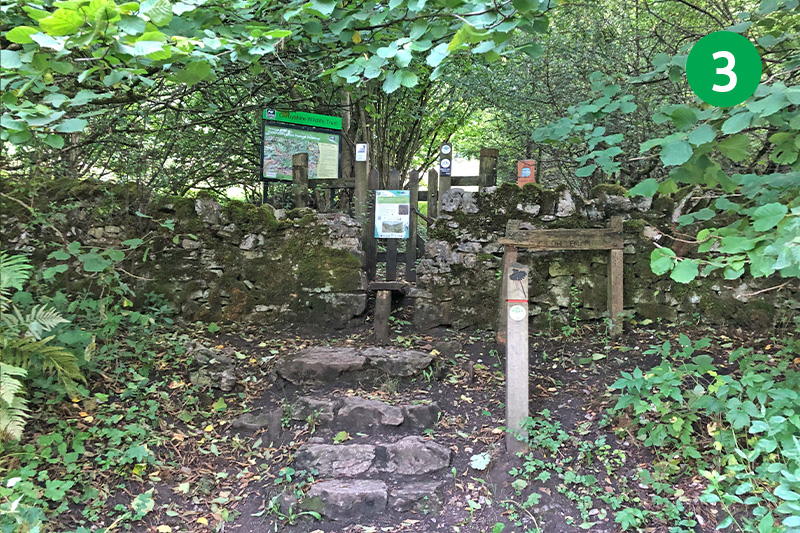
3: Look out for a wooden bench on the right, opposite a footpath sign pointing to Priestcliffe. Go through the stile behind the bench to enter Priestcliffe Lees Nature Reserve.
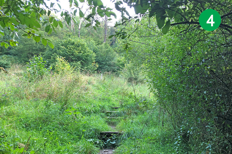
4: Go up the slope, climbing a number of uneven wooden steps. This narrow path can get quite overgrown in late summer.
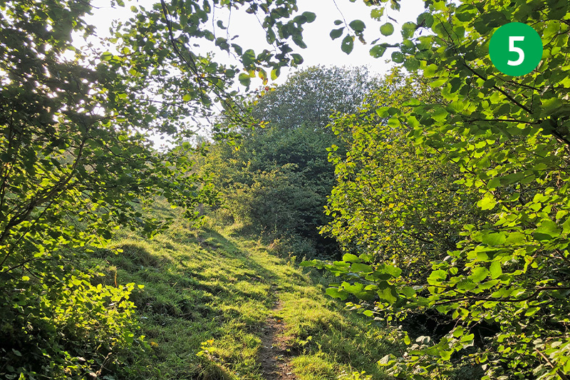
5: Continue along the obvious path up the slope, passing through a small wooden gate and then a stile. As you near the summit, head just to the right of a stone-built house.
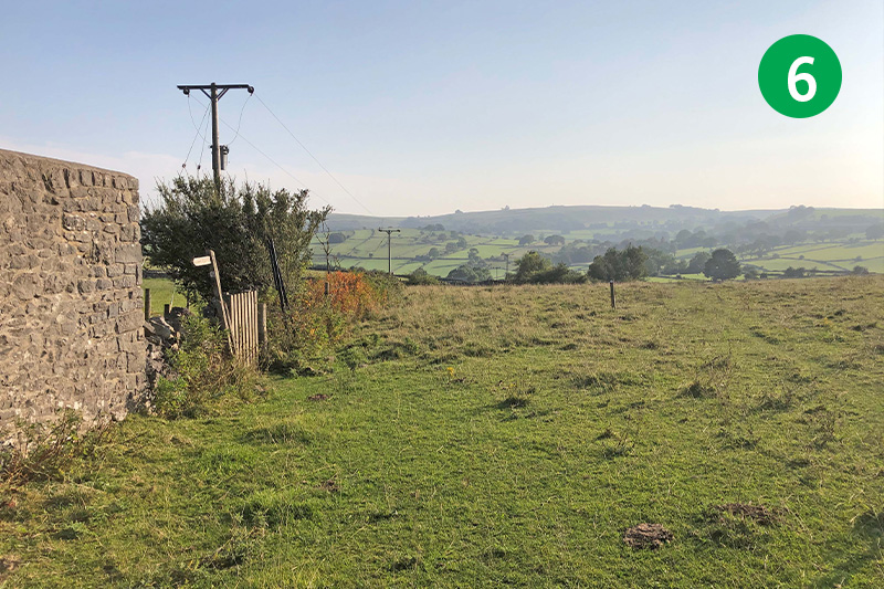
6: Continue in the same direction past the house and head slightly right, following a wide path as it winds around to the right across an open field.
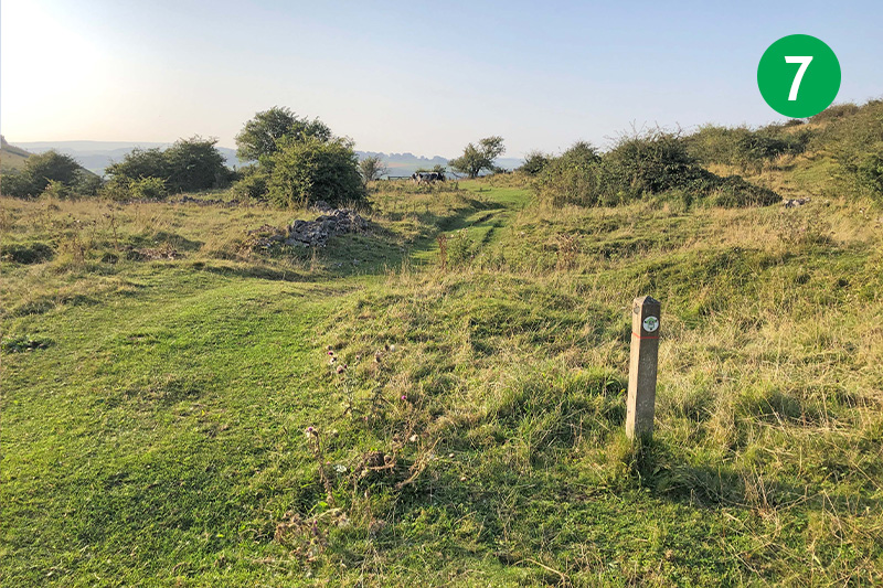
7: Follow the wooden waymarkers along the wide track.
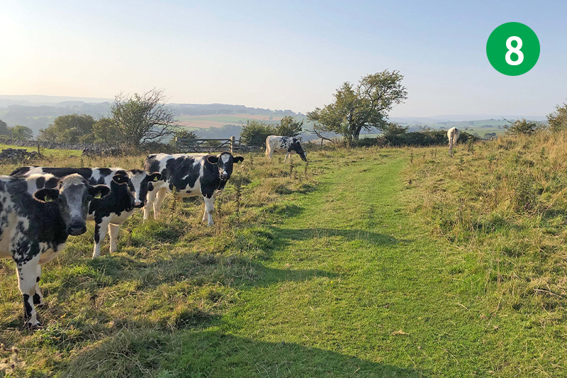
8: There were a few cows along this section of the walk, so it would be best to keep any dogs on a tight lead. But they’re a docile breed and didn’t pay me much attention.
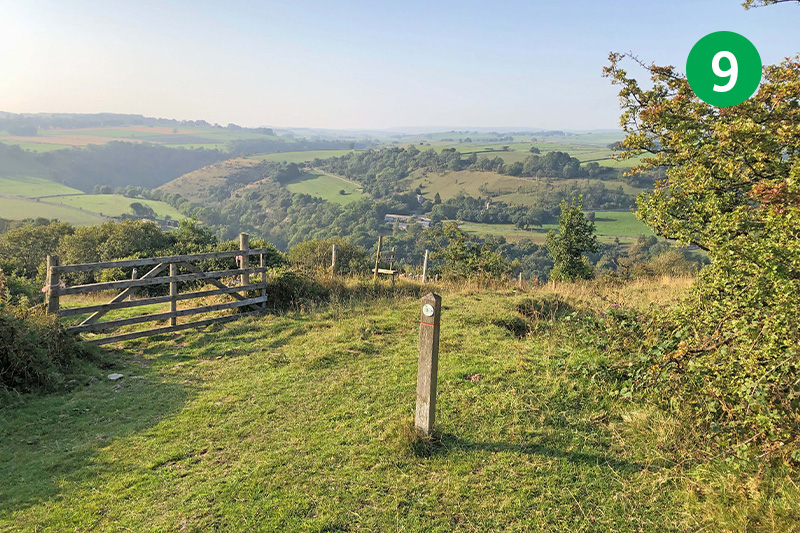
9: As you near the end of the level section of the track, follow the waymarkers down the slope to your right.
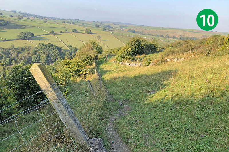
10: Follow the track is it narrows to a footpath, keeping to the right of the wire fencing. It can get overgrown further down the slope, but it’s usually easy to find a way through.
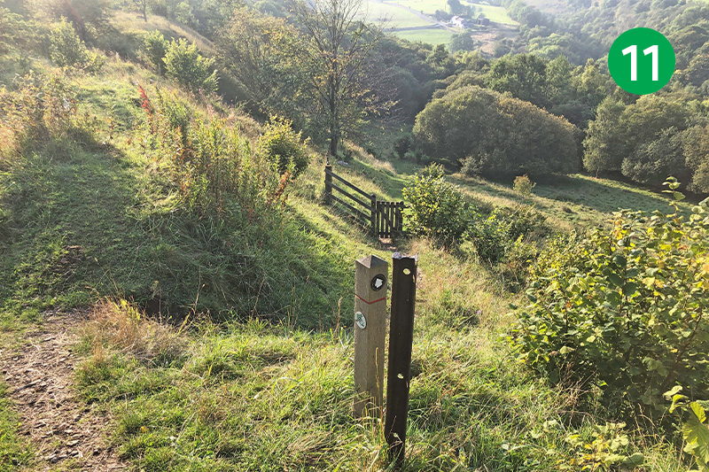
11: Follow the waymarker arrow down the slope to cross through a small wooden gate, and keep in the same direction along the obviuous path.
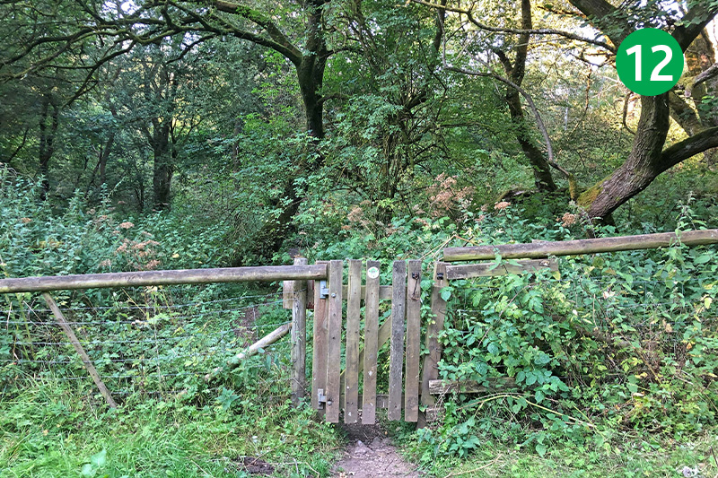
12: Pass through another small gate when you reach the bottom of the slope, crossing through a short section of woodland.
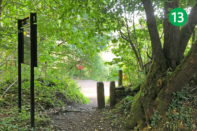
13: The Monsal Trail is just a short distance further. Turn left when you reach it. (Bakewell is to the right, about four miles distance.)
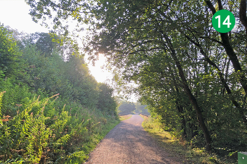
14: Follow the Trail all the way back to Miller’s Dale Station where there are toilets as well as a popular cafe serving snacks, drinks and ice creams.

