Full directions

Click below for a pdf of the route with detailed instructions, photos and a map, as well as links to car parks and public transport. A walking app GPX is also available.
Walk details
Length: 8.1mls | Av. time: 3.25hrs | Ascent: 886ft
Start: Bakewell Bridge car park | Google Map
Walk description, map & GPX | Download
Experience the White Peak at its most picturesque best on this fairly easy eight-mile walk from the popular town of Bakewell to the outskirts of Rowsley, returning along a section of the Derewent Valley Heritage Way.
The route branches off a short distance before reaching the centre of Rowsley. But the village is well worth a visit, boasting a number of good pubs and tearooms, as well as a popular shopping centre on the site of the old railway goods yard.

Above: Rowsley Church has rich history. A viaduct that once carried steam trains rushing between Manchester and Derby is visible from the graveyard (click to enlarge).
Just outside the side door to the chuch lies a poignant memorial to five local men (inset above), ranging in age from 16 to 45, who lost their lives creating the tunnel that the Duke of Rutland insisted should be dug to keep trains out of view of Haddon Hall.
There’s no shortage of pubs and tearooms on this walk, both in Bakewell and Rowsley. My favourite is Rowsley Post Office, which is just a short distance from the church, opposite The Peacock pub.
Bakewell can get very busy on weekends and school holidays. An alternative starting point is Rowsley. The nearest train stations are Matlock and Buxton, with regular bus services from both.
Click here for full step-by-step instructions, photos, map and GPX file.
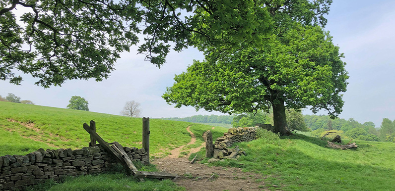
Route photos
Stages 1-6 of the route. Click any to enlarge and scroll through.
Relive video
Click to play and use the expand option to view in full-screen. More Monsal Trail Relives.