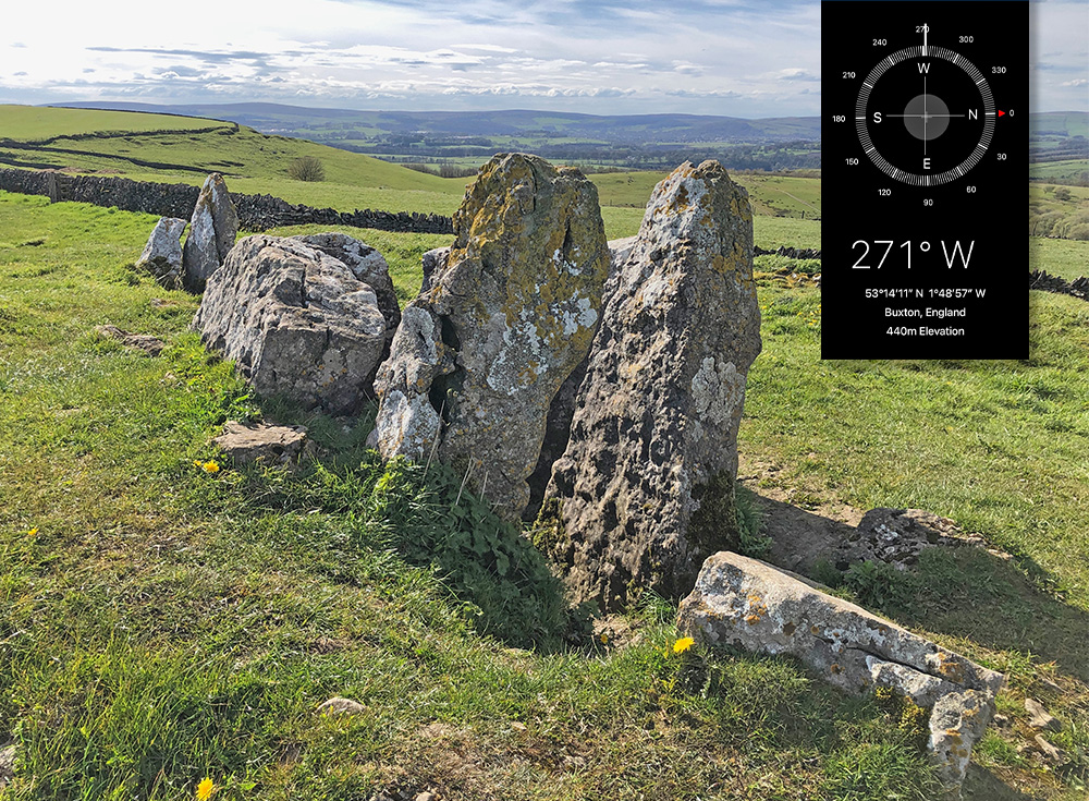
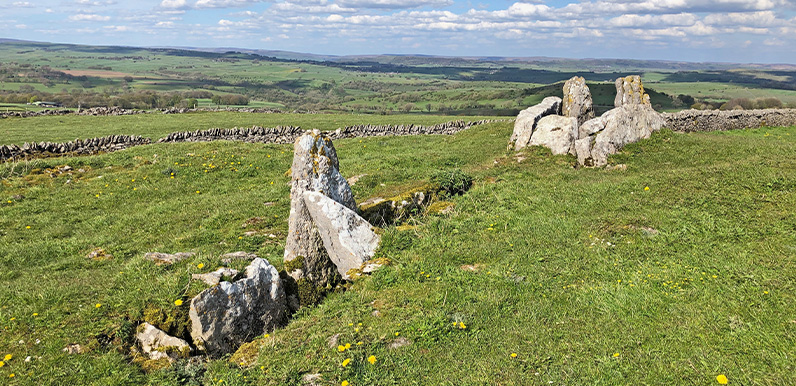
Above: Five Wells Tomb is a wonderfully evocative spot, perched high on Taddington Moor with breath-taking views across the surrounding landscape.
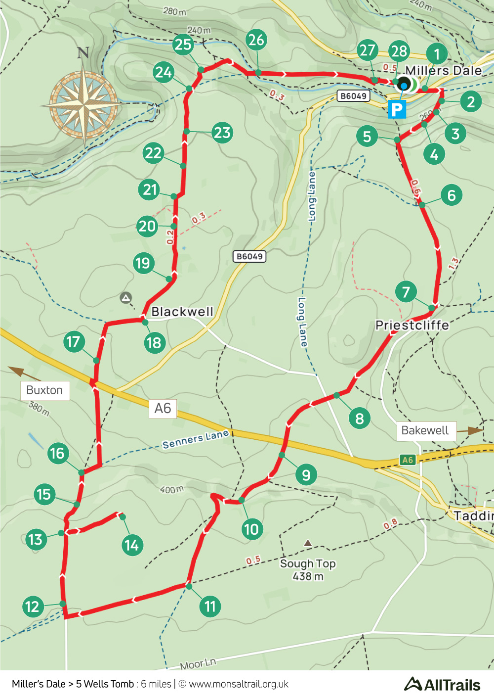
This fairly easy walk of less than six miles starts from Miller’s Dale Station; now a quiet and remote spot but once the busiest station on Midland Railway’s line between Manchester and Derby.
It’s difficult to imagine the contrast between the tranquil and picturesque scene now and a century ago when some of the most powerful engines ever built steamed noisily into one of five busy platforms.
But it needs an even greater leap of imagination to picture today’s landscape with how it would have looked in the late Neolithic period – some 5000 years ago.
Historians believe this was when our ancient ancestors started building stone circles, and burying their honoured dead in chambered cairns under large mounds of earth.

Above: My smart phone revealed that the burial chambers are aligned exactly east to west.
Said to be Britain’s highest chambered cairn, Five Wells Tomb was first excavated in 1846 by local antiquarian Thomas Bateman. He found bones from 12 men and women, along with a flint arrowhead. Later digs unearthed more bones – both human and animal – as well as pottery and flint tools.
Tunnel entrances
There are two back-to-back chambers – one facing east and the other west – separated by large upright stones. These would have been covered by a large earth mound, some 56 feet in diameter, with tunnel entrances at both ends.
From the tomb, the route drops down to the hamlet of Blackwell, passing a campsite with a cafe (opening times can vary). And from here it’s a mix of farm tracks and open fields to return to the Monsal Trail and on to Miller’s Dale carpark.
The station cafe offers a range of snacks, drinks and ice cream. Another alternative is the nearby Anglers Rest pub which has a good menu and a wide range of drinks, as well as outside benches beside the river.
For anyone using public transport, there’s a regular bus service between Buxton and Tideswell with a stop close to the Anglers Rest (click for timetable).
Click below for full step-by-step instructions, photos, map and GPX file.
A ‘Relive’ version of the walk. Click to play and use the expand option to view in full-screen. Click here for more Monsal Trail ‘Relives’.


