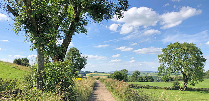
Above: The attractive track from Priestcliffe on the return towards Miller’s Dale (near point 16 on the map).
The last couple of walks posted on the website have been fairly long at 11 and 14 miles. So I thought it was time to feature a few shorter ones. At just over five miles, this is an ideal walk for anyone preferring a gentle stroll through some glorious White Peak countryside.
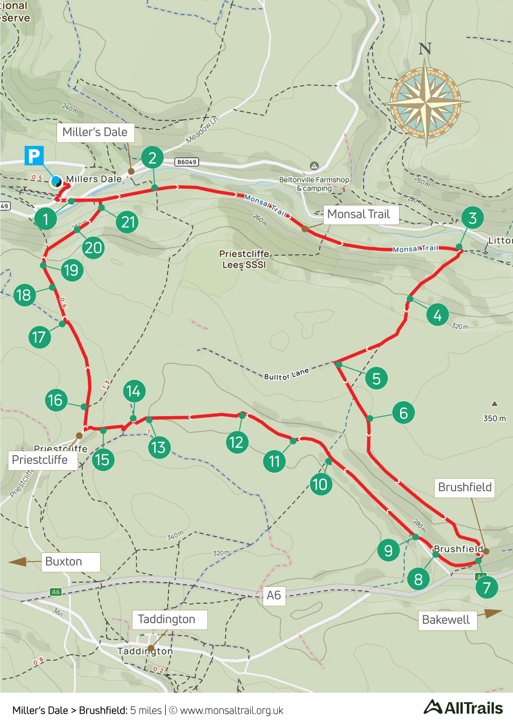
There is a steepish upward slope between points 3 and 4 on the map, but this is the Peak District, and the rewards more than outweigh the effort. There’s also a section of uneven downward steps at around point 20 which require some care, especially if it’s muddy.
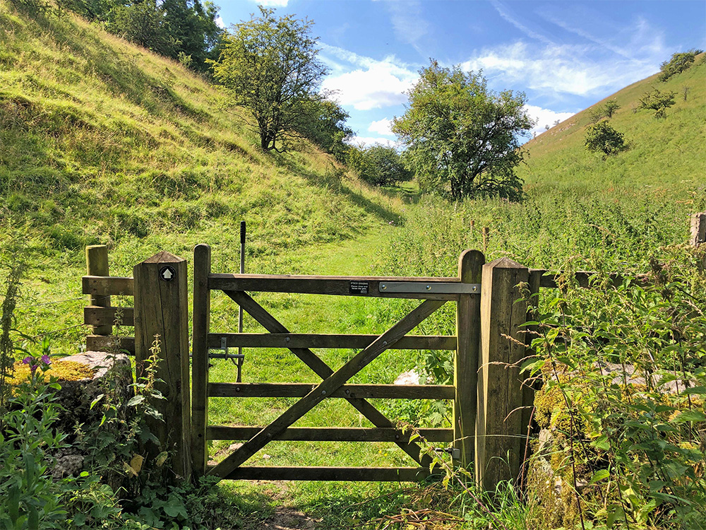
Above: The gate leading into High Dale; one of the quietest and prettiest valleys in the White Peak.
Starting from the pay and display carpark at the old Miller’s Dale Station (where there’s a popular cafe as well as public toilets), the walk sets off along the Monsal Trail before heading south through Priestcliffe Lees Nature Reserve. This is the steepest part of the walk.
From the top of the slope, the route follows a wide farm track, passing the small hamlet of Brushfield before dropping down to High Dale; a short but very picturesque valley.
A mix of tracks
It then crosses a number of fields and stiles to reach the outskirts of Priestcliffe, returning to the Trail along a mix of farm tracks, as well as field and woodland paths. It’s then a short distance back to Miller’s Dale Station.
As well as the carpark cafe, refreshments are also available at the popular Anglers Rest pub in the village of Miller’s Dale. To visit the pub, turn right rather than left when you reach the Trail, and follow the first footpath sign on your left down the slope.
Click below for full step-by-step instructions, photos, map and GPX file.
A ‘Relive’ version of the walk. Click to play and use the expand option to view in full-screen. Click here for more Monsal Trail ‘Relives’.


