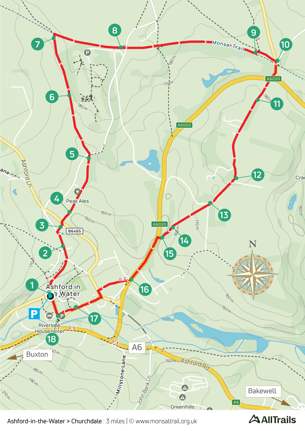
17. Ashford > Churchdale
Walk distance: 3 miles | Date recorded: 2 June 2024
Start point: Ashford-in-the-Water | Google Map
GPX file: Just £1.50 | Download file
Walk description
A short, three-mile stroll from the picture-postcard village of Ashford-in-the-Water, recorded during its well-dressing week, up to the Monsal Trail and returning through scenic Churchdale.
The Ashford Arms in the village has recently reopened after years lying derelict. There’s also the more traditional Bulls Head, as well as the Aisseford Tearoom. The walk also passes Thornbridge Hall’s Quackers Cafe, with its children’s play area.
On-street parking is usually easy to find if the small carpark is full. Ashford has a regular bus service between Buxton and Bakewell. And there are nearby railway stations at Buxton, Grindleford and Matlock.
A ‘Relive’ version of the walk. Click to play and use the expand option to view in full-screen. Click here for more Monsal Trail ‘Relives’.
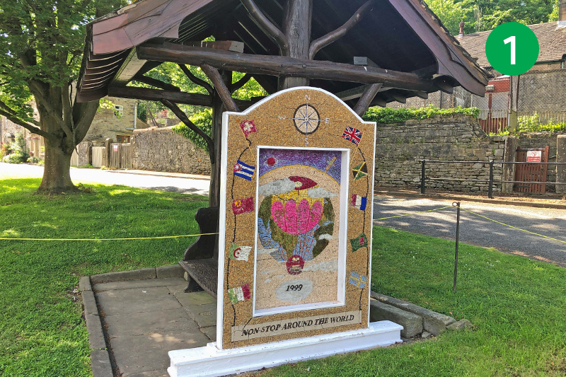
1: Well dressing with scenes made from natural materials such as petals, stones and seeds is an ancient Derbyshire tradition. This walk starts besides one of Ashford’s four dressed wells – opposite the small car park. From here, head up the slope, away from the village, along Vicarage Lane.
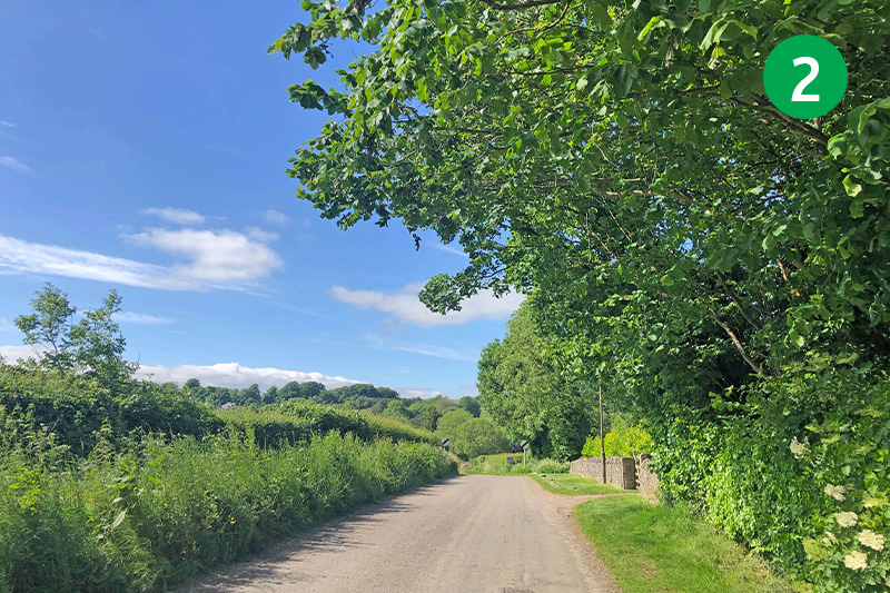
2: Look out for a well-hidden stile on the right, beside a footpath sign, as the road slopes down.
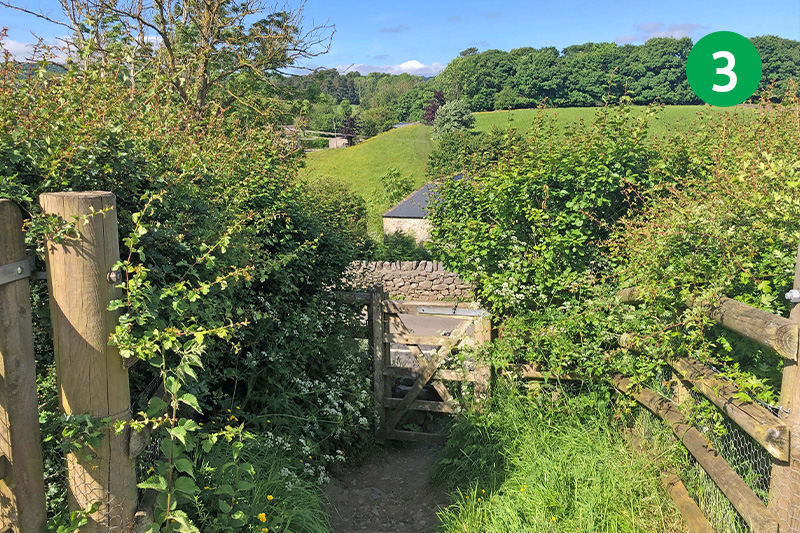
3: Cross the stile and go through a small gate at the other end, crossing the road slightly to your left to follow another footpath sign down a rocky track.
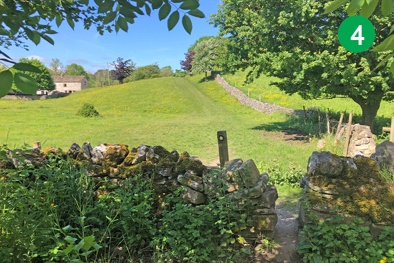
4: Follow the direction arrow up the slope, keeping to the left of the stone wall.
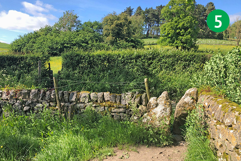
5: Keep in the same direction across a couple of fields to reach a stile in the far right corner. Cross the lane and go through another stile in the field hedge on the opposite side. (There’s often cattle with calves in this field, but I’ve walked through many times without any problem.)
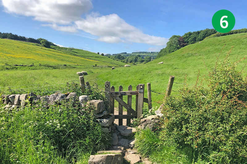
6: Follow the obvious path across a number of fields and through a series of stiles and small gates. (One of the gates can get water-logged, but it’s usually easy to find a way around the muddiest areas.)
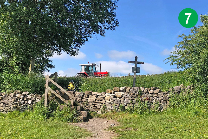
7: As the path widens out across an open field, head slightly right up the slope towards a tall stile in the stone wall which leads to the Monsal Trail. Turn right along the Trail.
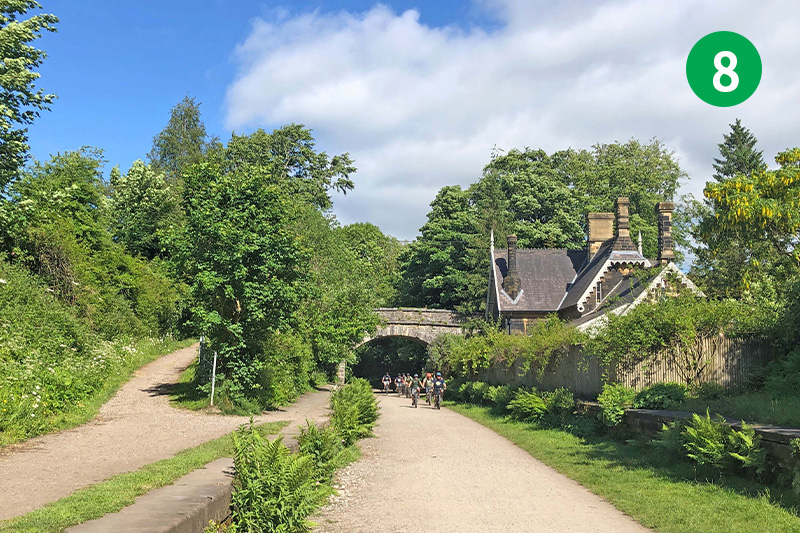
8: You soon reach what was once Great Longstone Station (click for details and photos). The large castelated house alongside the station was built by a director of the railway, who lived at nearby Thornbridge Hall, as his personal waiting room. A sign on the right, just past the station, leads up to Thornbridge Hall’s Quackers Cafe.
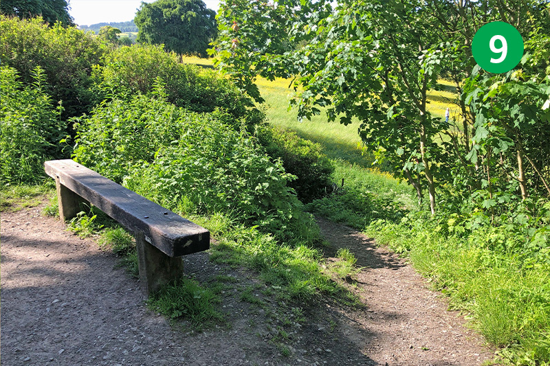
9: Look out for a wooden seat, just a short distance further along the Trail. Follow the narrow path behind it to reach the road. (If you miss it – or it’s too muddy and steep – there’s an easier path the other side of the next bridge.)
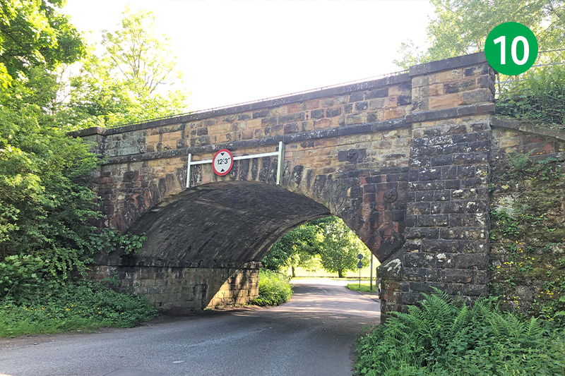
10: Turn right under the bridge to reach the Ashford to Hassop main road. Traffic can come at some speed along here so take care when crossing over, and follow the narrow lane up the slope on the opposite side.
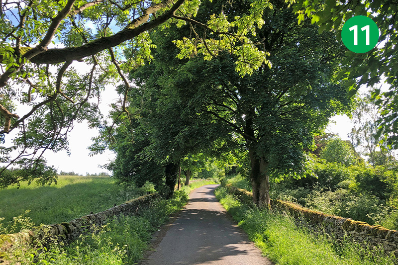
11: Follow this picturesque lane for some distance, keeping to the left of the entrance drive to Churchdale Hall. The 10th Duke of Devonshire lived here from the 1920s until his death in 1950.
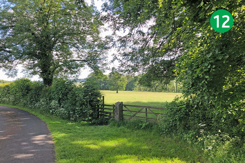
12: Look out for a stile beside a wooden gate a short distance further on the right. Go through here, following the direction arrow towards a lone tree in the distance, with Churchdale Hall on your right.
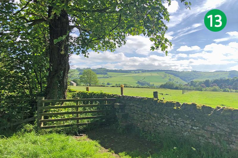
13: Head towards a stile in the stone wall, to the left of a field gate. Cross here and follow the path down the slope, keeping to the right of the wire fence.
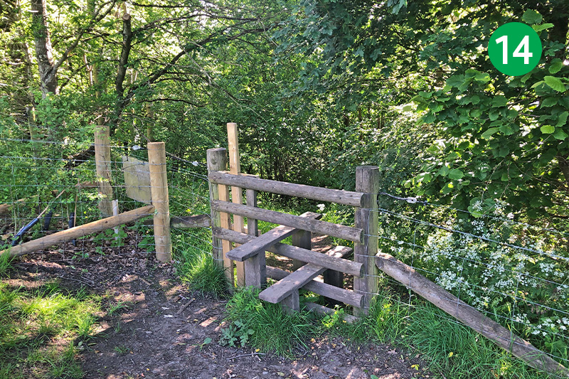
14: Cross a wooden stile at the far end of the field into woodland, following the narrow track as it winds down the slope through the trees. (This short path can get muddy and overgrown.)
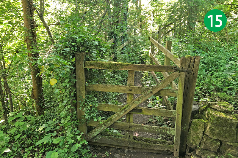
15: Go through a battered wooden gate at the end of the path, passing over a small footbridge to reach the road through a stone stile.
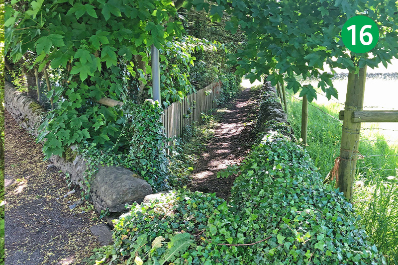
16: Take care when crossing the road, and turn left along the pavement. Look out for a footpath sign on the right, leading down a narrow path. (You can just continue along the road if you prefer.) Continue past the houses, turning left and then right to enter the village.
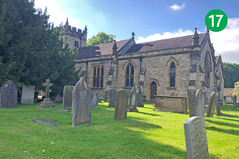
17: You pass the recently reopened Ashford Arms on the left, and the more traditional Bulls Head on the right, as well as the Aisseford Tearoom. A short distance further is the fine village church dating back to the 12th century.
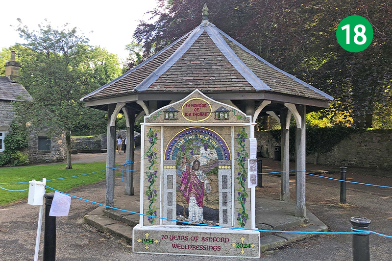
18: The walk ends at Ashford’s largest well, decorated with another fine panel of petals, stones and seeds (the displays only last for a week). Behind the well is the much-photographed Sheepwash Bridge. The small carpark is just a short distance further up the road, on the right.

