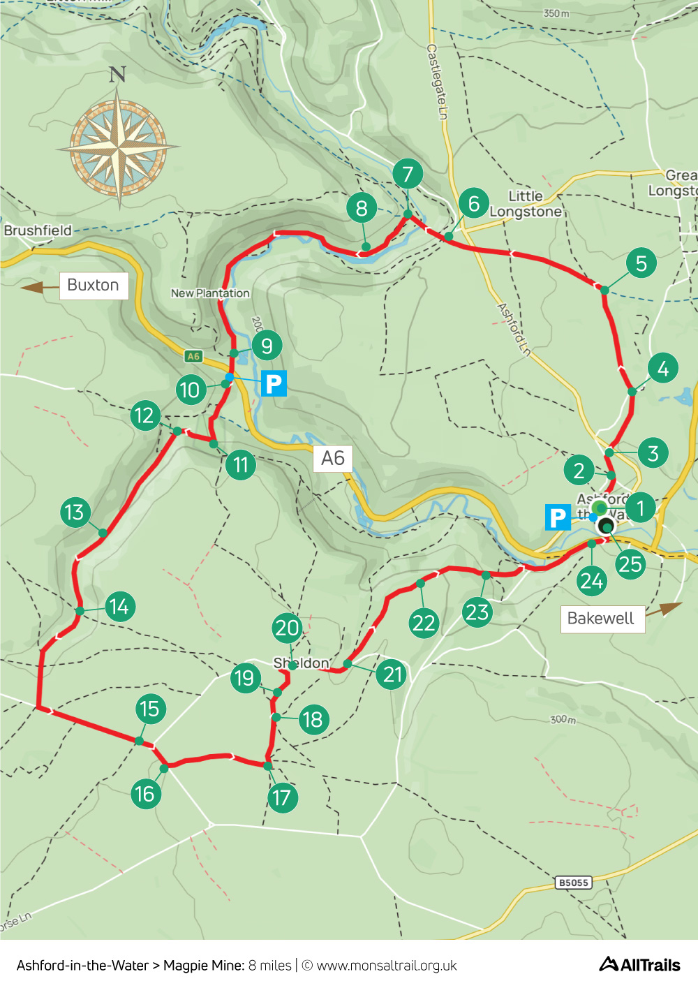
5. Ashford > Magpie Mine
Walk distance: 8 miles | Date recorded: March 2024
Start point: Ashford-in-the-Water | Google Map
GPX file: Just £1.50 | Download file
Walk description
A fairly easy 8-mile walk from the picturesque village of Ashford-in-the-Water up to the Monsal Trail before dropping down to the River Wye and through Deep Dale to the evocative remains of Magpie Mine, returning via Sheldon.
There’s a small carpark in Ashford which can fill fairly early, but it’s usually possible to find road-side places. An alternative starting point is White Lodge carpark (point 11). High Peak Buses also operate a regular service between Bakewell and Buxton stopping near both carparks (click for timetable).
There are two pubs in Ashford – The Bulls Head and the newly reopened Ashford Arms – as well as a tea room by the church. The Cock and Pullet in Sheldon is also worth a visit.
A ‘Relive’ version of the walk. Click to play and use the expand option to view in full-screen. Click here for more Monsal Trail ‘Relives’.
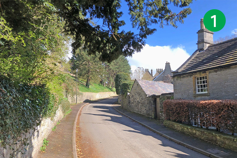
1: Turn right from the car park in Ashford up Vicarage Lane. The village was famous for its black marble which was mined in the woods to your left. Look out for a footpath sign on your right to Monsal Head, just a short distance from the last house.
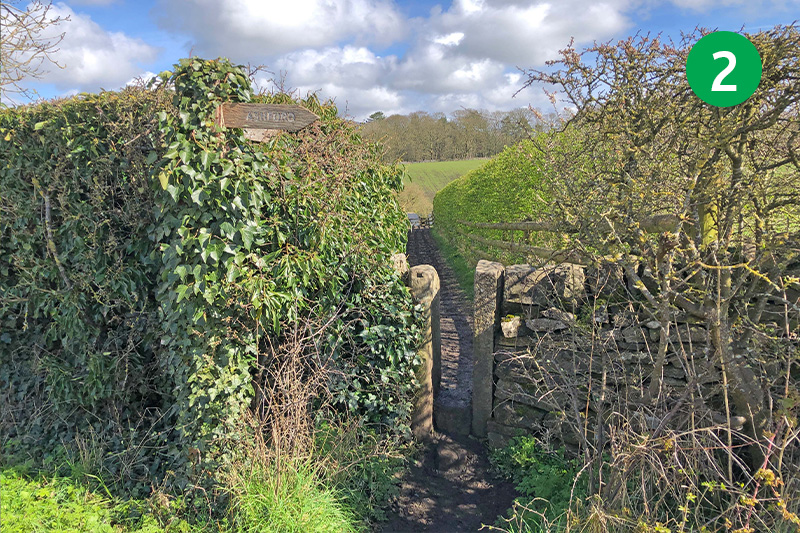
2: Go through the stile, and another at the other end of the narrow path, and cross the road slightly to your left. There’s no pavement at this point so some care is needed. This road connects Ashford with Monsal Head.
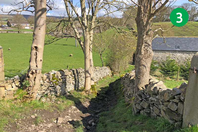
3: Follow the footpath sign towards Monsal Head down the stoney track and then up the other side, crossing an open field. Go through a wooden gate at the top of the slope, keeping the stone wall on your right.
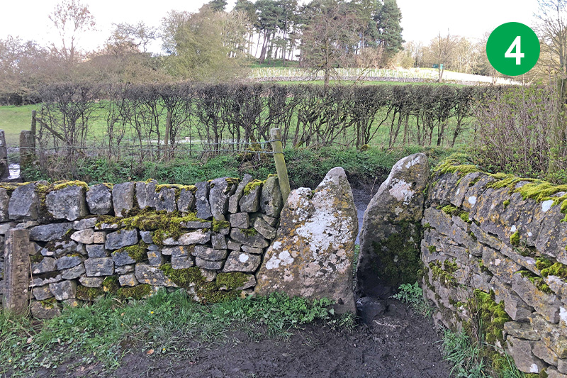
4: Pass through a stile at the far right corner of the field, cross the road to go through another stile on the opposite side. (The path from here can get very muddy in winter and after rain. An alternative is to turn right up the lane and take the steps on the left just over the bridge. This leads down to the Trail – then turn right to reach point 5.)
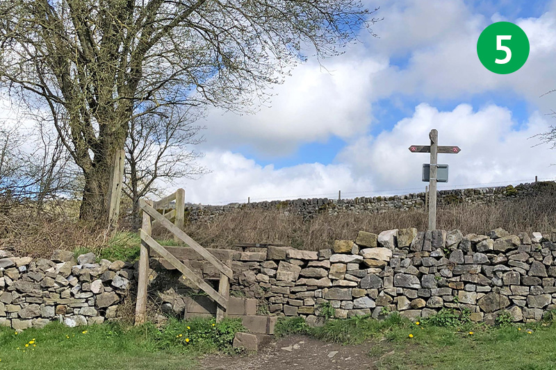
5: Follow the obvious track in the same direction through a number of gates and stiles and head up towards a footpath sign beside a tree in the distance to reach the Monsal Trail.
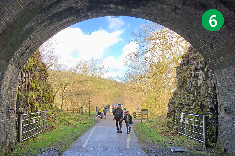
6: Turn left along the Trail (Bakewell is to the right), going through Headstone Tunnel to reach Headstone Viaduct with its magnificent views over Monsal Dale and the River Wye from both sides.
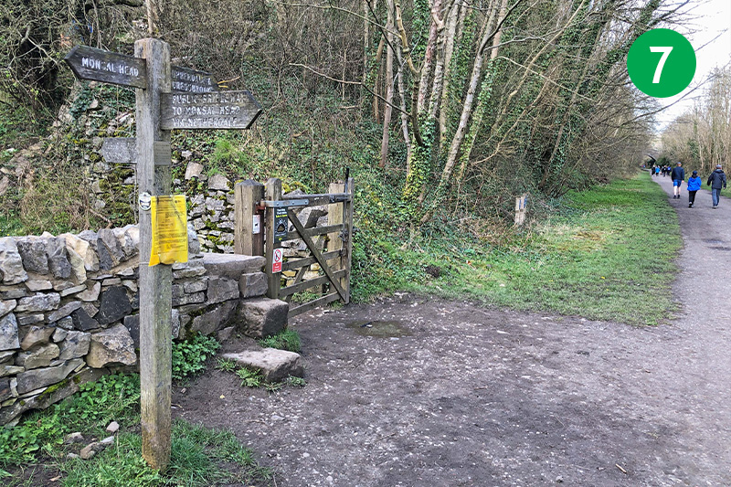
7: Look out for a footpath sign on the left, just beyond the viaduct. Go through here and follow the track down the slope to your left to reach the River Wye. The route takes you to the right, but there’s a great view of the viaduct from here to your left.
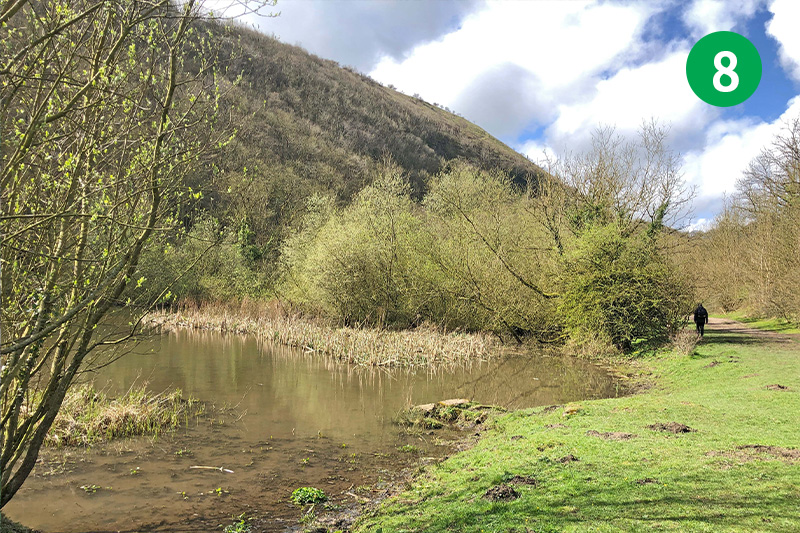
8: From here it’s just a case of keeping the river to your left as you cross open meadows and woodland tracks. You pass an ancient weir on you left which once powered a water mill. As well as a footbridge which would take you up to Monsal Head.
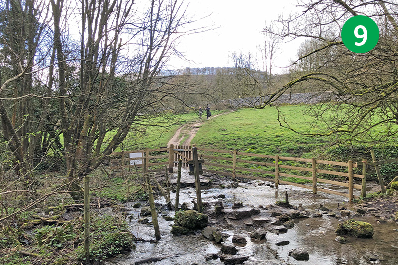
9: This section of the route can get muddy in winter and after rain, so boots are recommended if you’ll be walking at these times. After some distance you reach a stile beside a stream. Cross here and head up the slope on the other side.
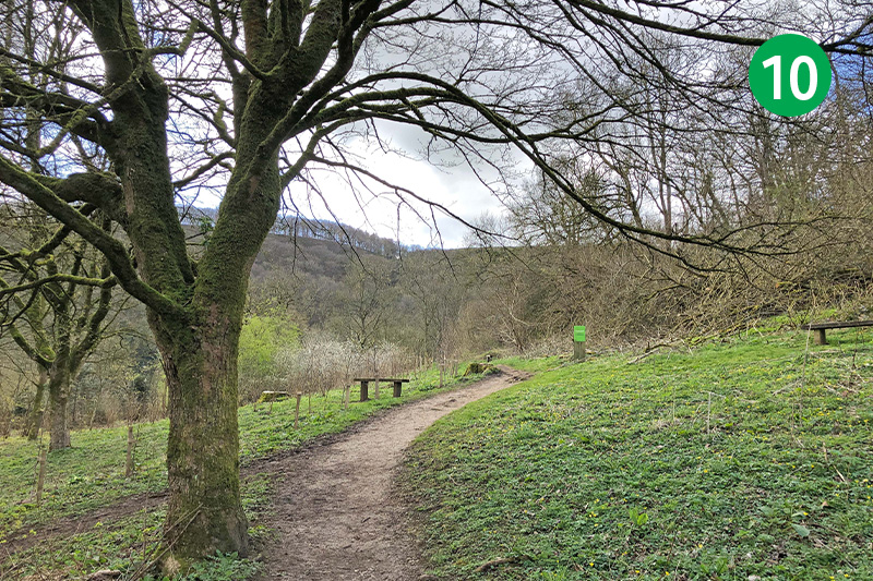
10: Go up a steep stile and cross the main A6 road to reach White Lodge carpark. Traffic can come along here at speed so some care is needed. Cross the carpark in the same direction and head up the path behind it. Keep on the path through a gate and follow the next footpath sign towards Deep Dale.
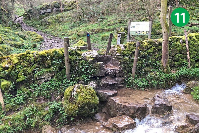
11: This track bends around to the right to reach a section that can sometimes flood after a lot of rain – but it’s never that deep. So if you’ve got boots you should be able to wade through. Or find a way over the rocks to the right. Cross the stile into Deep Dale.
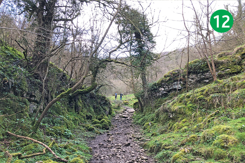
12: Follow the track until you reach a junction of paths. Left will take you back to Ashford through Great Shacklow Woods. To continue this walk, turn right and follow the path as it bends around to the left into Deep Dale.
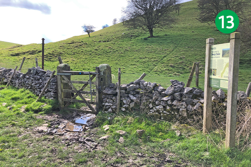
13: Keep the wall on your right for some distance until you see a gate beside an information board. Go through here and now keep the wall on your left until you exit the dale.
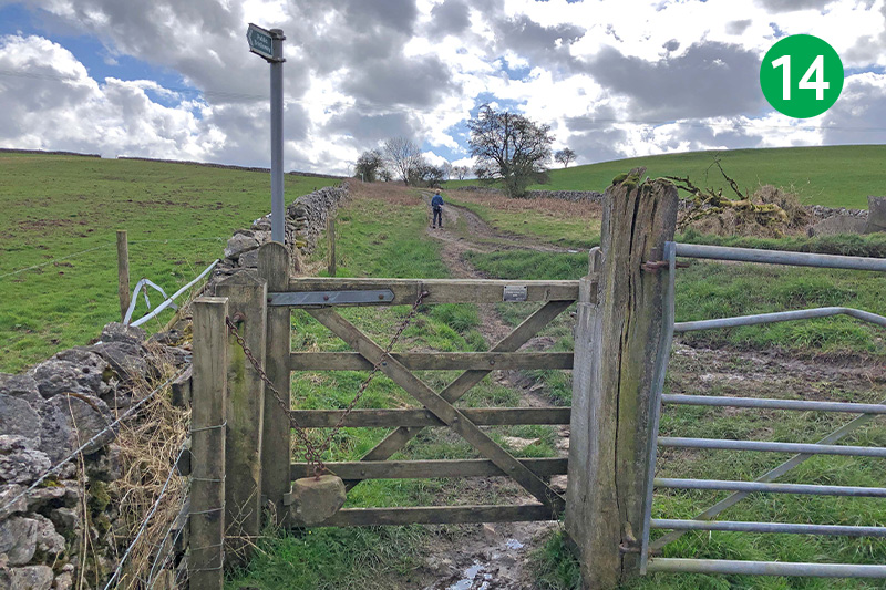
14: Go through the small gate and turn left up the farm track until you reach the main road. Turn left along the road.
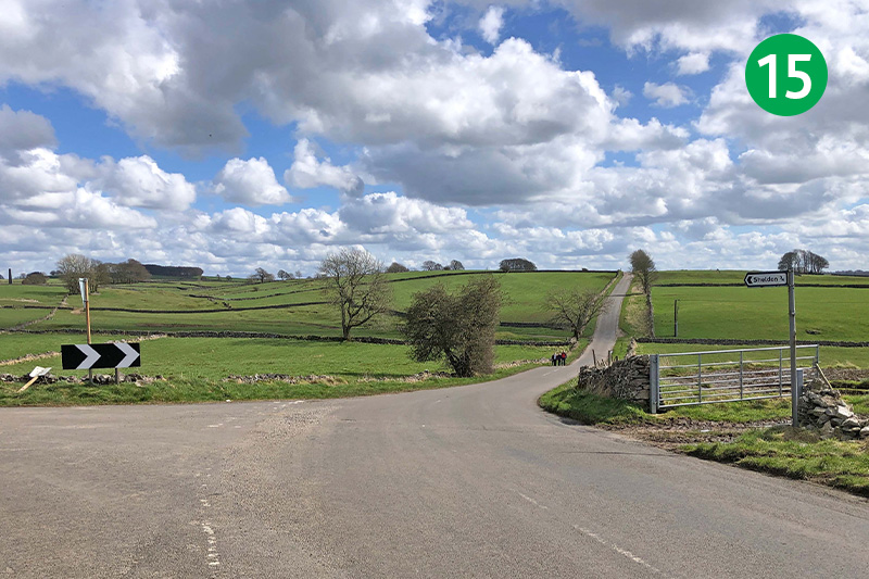
15: Keep on the road, past the junction signposting Sheldon to the left, continuing in the same direction as the road narrows. At this point you should be able to see Magpie Mine across the fields to your left.
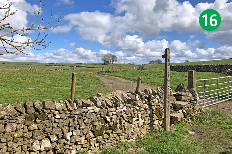
16: Follow the footpath sign on the left and keep on the track until you see a stile in the corner of a stone wall. Go over here and continue in the same direction towards the ruins in the distance, through a small wooden gate.
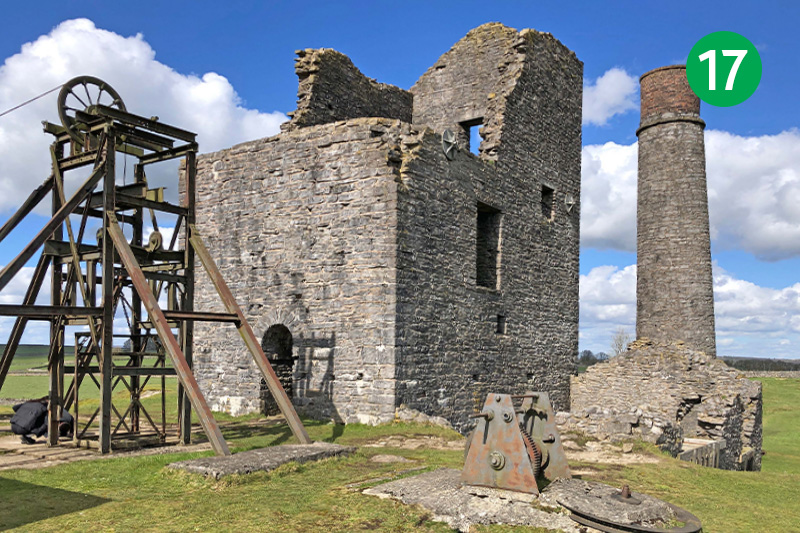
17: Display boards behind the square chimney explain the history of the mine, which dates back to the late 17th century and only closed in the 1950s. It was the site of three murders in 1833. The men’s widows put a curse on the mine, after which it never made much profit and suffered a series of accidents and deaths.
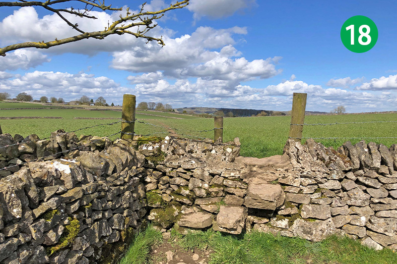
18: From the circular chimney, head to the left of a small round stone building which was used to store gunpowder, towards a stile in the far left corner of the field. Keep in the same direction following the path towards Sheldon in the distance.
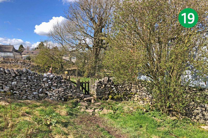
19: Go through another stile to reach a small gate and turn right between two stone walls. Keep in the same direction, passing between two stone gateposts, and then head diagonally left towards some farm buildings. Follow the obvious path through a number of small gates and stiles to reach Sheldon.
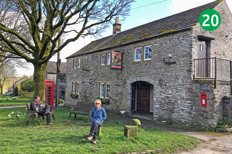
20: Turn right and keep on the lane through Sheldon. The Cock and Pullet pub on the right is always worth a visit. There are a few outside benches at both the front and rear.
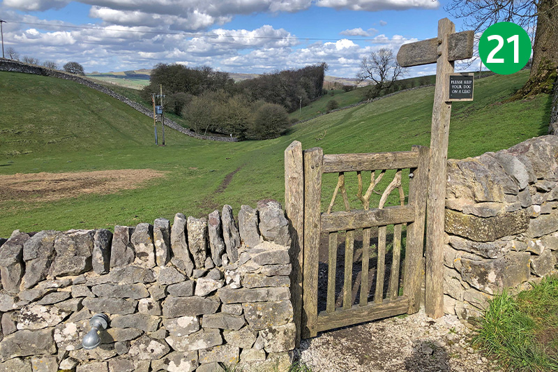
21: Continue on the road until you see a footpath sign on the left beside a gate just outside the village. There are two options from here going in a similar direction. The left hand path will take you through Little Shacklow Wood. But this route takes the more scenic route, to the right of the trees.
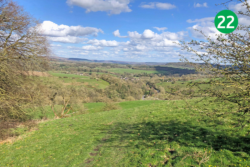
22: Head through a small gate and then keep in the same general direction with the trees on your left across open fields and down the slope towards Ashford which soon appears in the valley below. As the river comes into view, there is another choice of routes – either straight ahead and down a fairly steep slope, or to the left which then snakes around to the right on a more gentle angle.
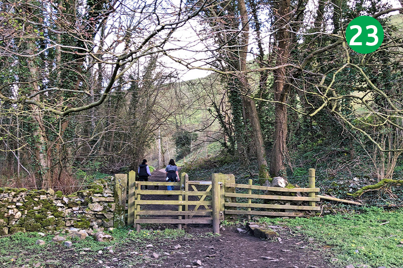
23: Go through a gate at the far corner of the field, beside the river on your left, and turn left along the narrow lane.
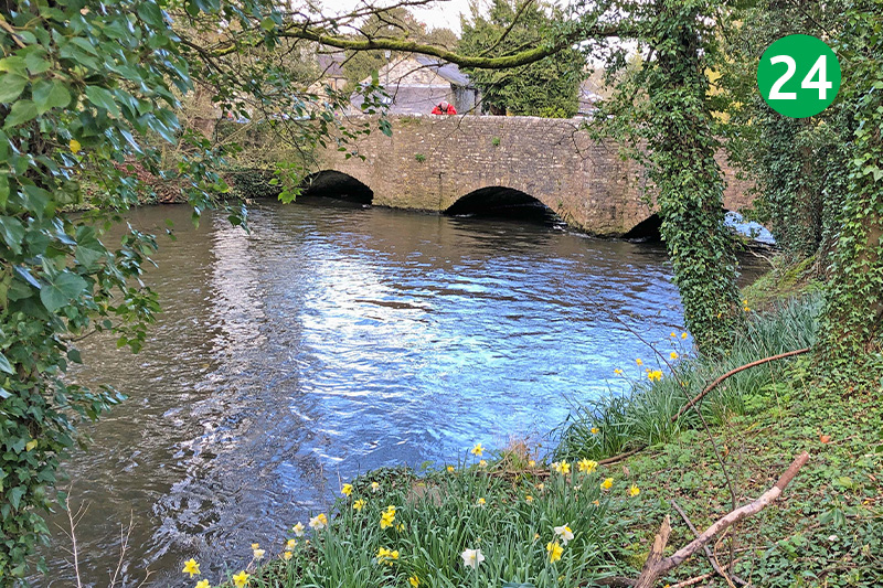
24: Turn right when you get to the main A6 road, using the pavement. Cross over when you near Ashford and have a good view of the often fast-moving traffic, to reach the much-photographed sheepwash bridge. Sheep were penned in a stone enclosure beside the bridge and taken through the river to clean them.
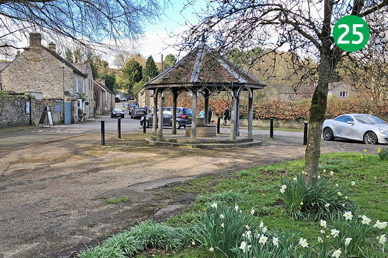
25: The shelter on the other side of the bridge is one of six wells in the village, many of which are ‘dressed’ in late May in a ceremony that dates back centuries. The carpark is straight ahead, along Fennel Street.

