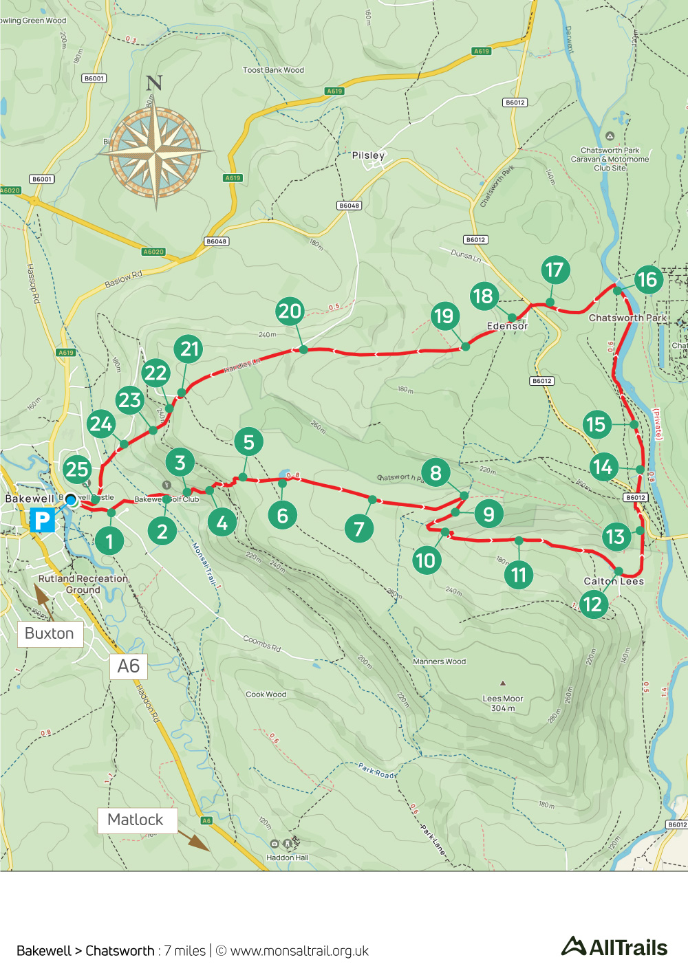
Bakewell > Chatsworth
Walk distance: 7 miles | Date recorded: 19 May 2024
Start point: Bakewell Bridge carpark | Google Map
Map app: View on OutdoorActive | Contact me for GPX file
Walk description
A 7-mile walk from the Peak District’s most popular town to its most popular tourist attraction, across some wonderfully scenic paths, tracks and open fields. The route doesn’t reach as far as Chatsworth, but it’s just a short distance from the stone bridge at point 16.
The return passes through the picturesque village of Edensor (pronounced Enza), with its church where President Kennedy’s sister is buried. There’s a good tearoom here, as well as cafes at both Chatsworth and Calton Lees Garden Centre (point 12).
The path through the trees at points 4 and 22 can get muddy and difficult in winter months. So walking shoes or boots are a good idea at these times.
A ‘Relive’ version of the walk. Click to play and use the expand option to view in full-screen. Click here for more Monsal Trail ‘Relives’.
Click map to expand in a new browser tab.
Click here to open an A4 printable pdf of map.
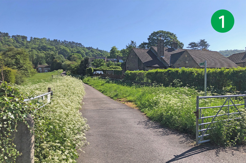
1: There are a number of carparks in Bakewell. The one nearest the start of the route is at Bakewell Bridge. From here, turn right along Coombs Road and follow the first footpath sign on your left. Head up the slope, eventually crossing a bridge over the Monsal Trail.
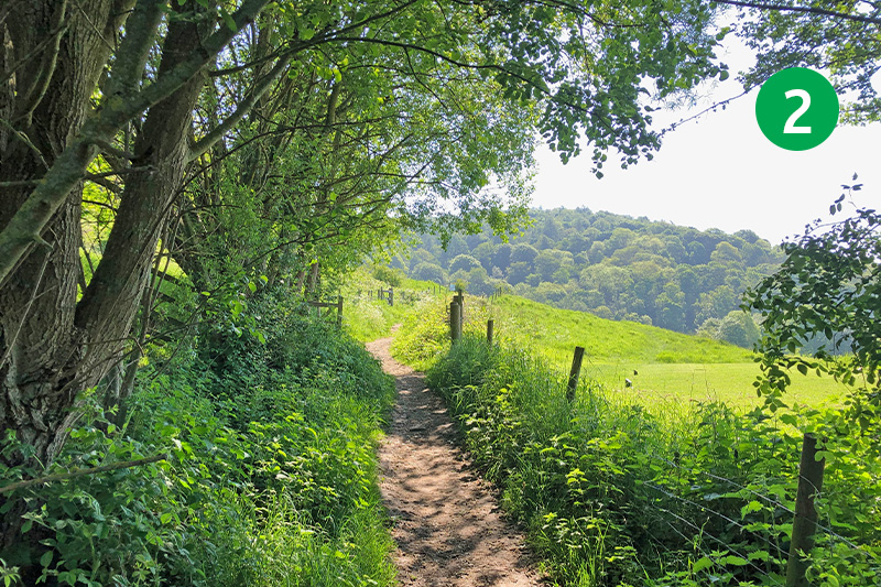
2: Keep in the same direction, following the narrow public footpath across the golf course. (There is a bell a short distance further that you can strike to warn golfers that you’re coming through.)
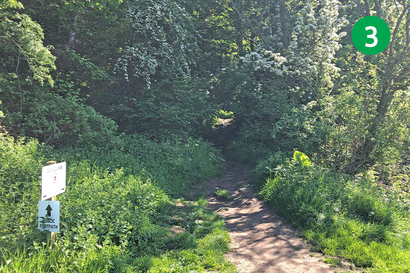
3: Follow the signs to enter woodland, keeping to the obvious path as it winds up the slope.
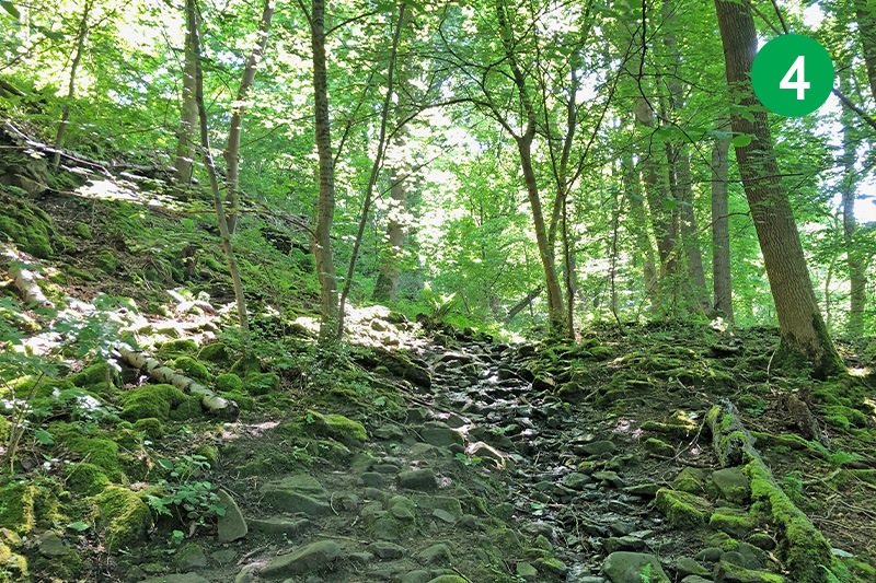
4: The track becomes increasingly steep and rocky as you go up through the trees. It can also get wet and muddy after rain, and during winter and autumn months. Head up the slope as it winds around to the left, but avoid taking any of the paths that join it from both sides.
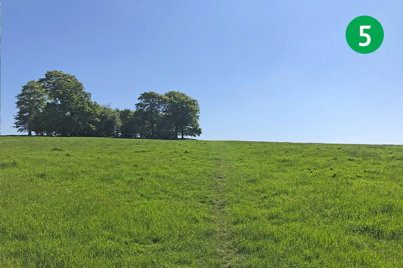
5: Exit the woodland through a small gate and head up the open field, towards the right of a copse of trees on the horizon.
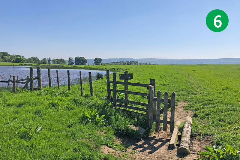
6: Keep in the same direction, passing to the right of a small pond. The sign beside the gate points diagonally right, but the direction is straight ahead across the open field.
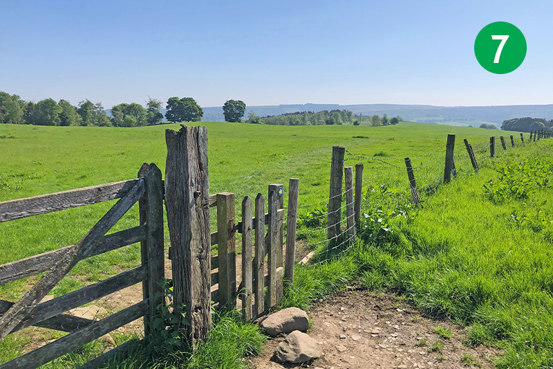
7: After some distance, go through a small gate and follow the small direction arrow to the right, across the open field, to reach another farm gate.
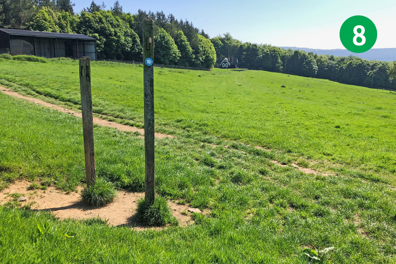
8: Continue on the same direction through the gate, heading towards a pair of tall wooden posts in the distance. Turn right down the obvious path towards a farm gate. (Turning left will take you down through the trees towards Edensor and Chatsworth.)
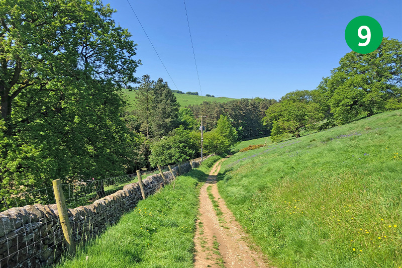
9: Go through the gate and down the path beside the stone wall, passing through another gate and turning left down a farm track which leads between houses belonging to the Chatsworth Estate.
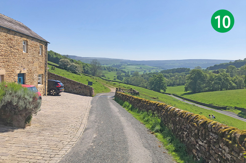
10: Follow the narrow lane over a cattle grid as it snakes down the slope.
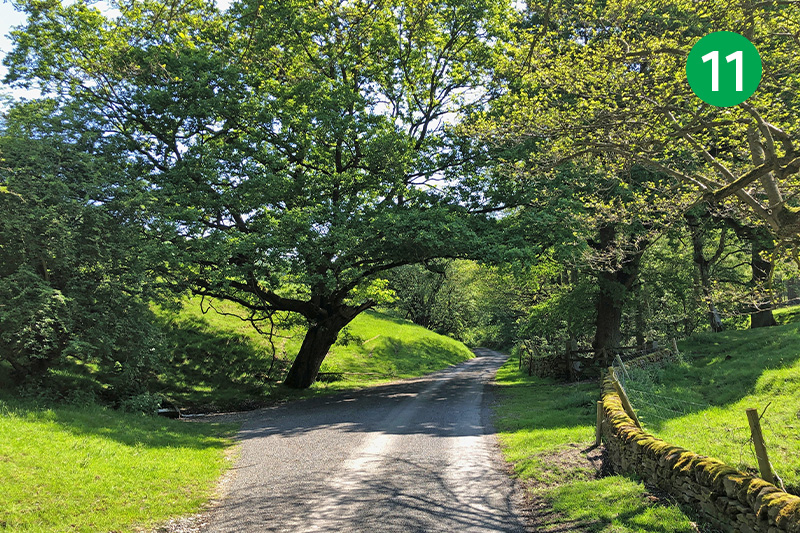
11: Keep on this attractive lane for some distance.
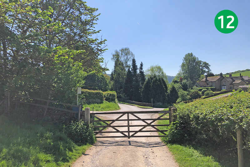
12: Go through a farm gate to reach a junction of lanes and farm tracks. Keep in the same direction, straight ahead, passing Calton Lees Garden Centre on your right. (Turning right at the junction would take you towards Rowsley.)
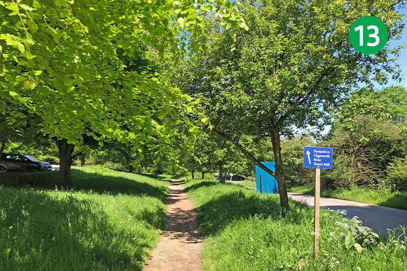
13: The garden centre offers a good range of meals, snacks and drinks. Continue in the same direction past a large carpark on your left. (There are some benches at the far left corner that make a good picnic stop.)
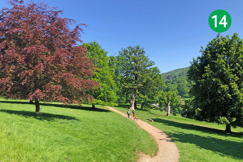
14: Exit the lane through a gate beside a cattle grid, and follow the signs to cross the road diagonally right, following the path as it slopes down towards the River Derwent.
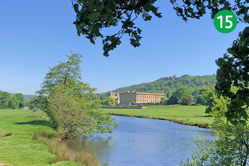
15: There’s a choice of routes to take across this wide meadow (it can get muddy in winter months). Keep the Derwent on your right and Chatsworth House soon comes into view, on the other side of the river.
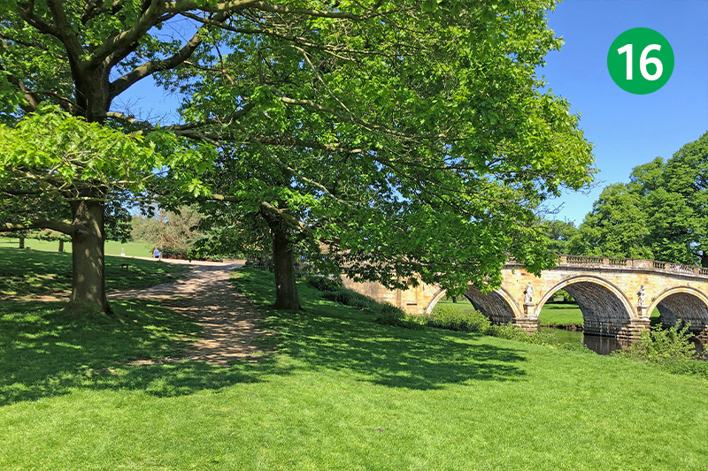
16: To visit Chatsworth, simply turn right when you reach the bridge. To continue this route, cross the lane and turn left, and follow the path heading up the slope on the right.
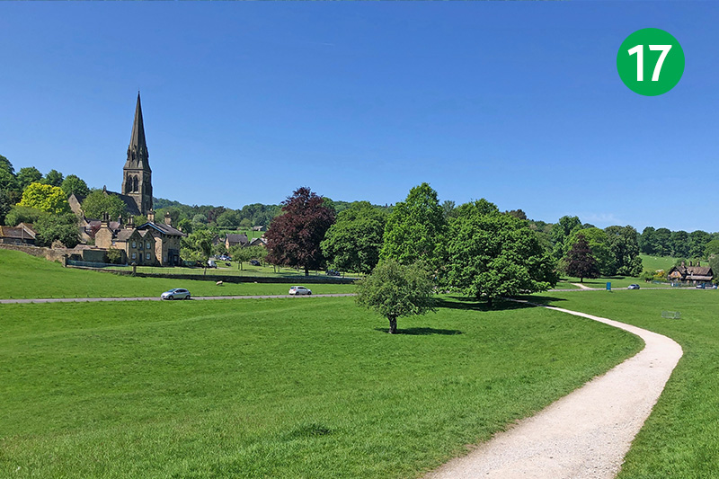
17: This path leads all the way to Edensor. This attractive village was designed by the famous architect, Joseph Paxton, for the 6th Duke of Devonshire in the 1830s. Cross the road to reach the village where there’s a popular tearoom on the left, opposite the church.
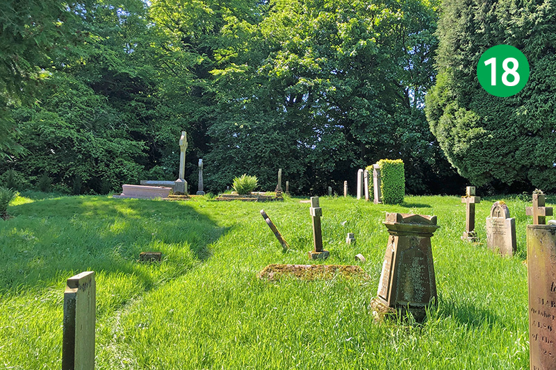
18: Many Dukes and Duchesses of Devonshire are buried in the Cavendish family plot at the far left corner of the churchyard. A plaque commemorates a visit by US President John Kennedy to his sister’s grave (she married the 10th duke’s eldest son). Joseph Paxon is also buried nearby.
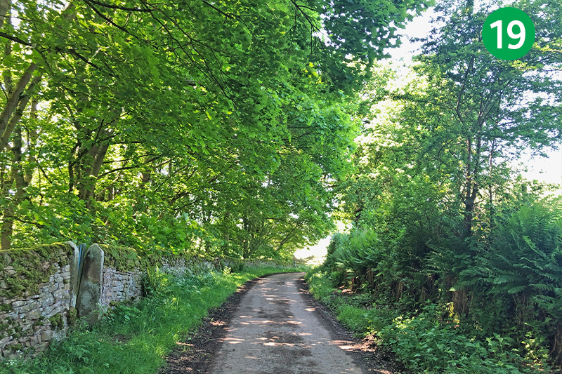
19: Keeping the church on your left, head up the lane from Edensor, between some wonderfully designed houses. (Paxton is said to have given the duke a selection of house designs to choose from but he couldn’t make up his mind so asked for one of each!)
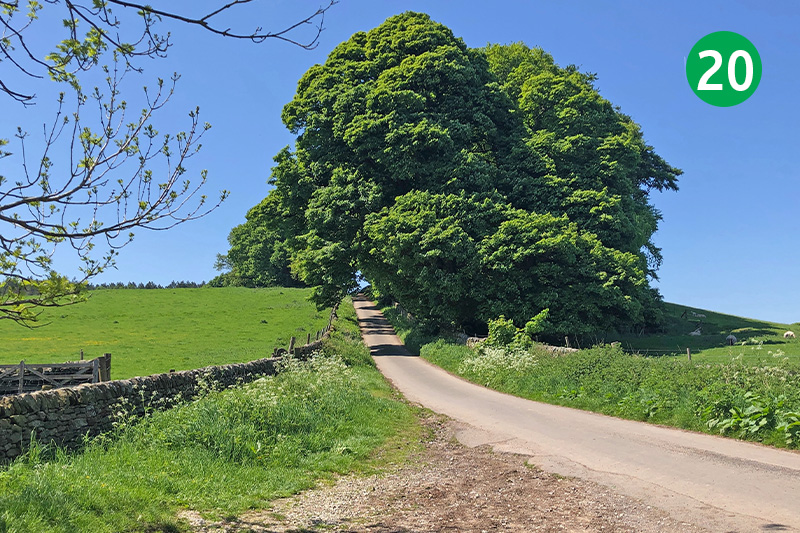
20: Continue up this lane for some distance, eventually joining a minor road, and head over the brow of the hill.
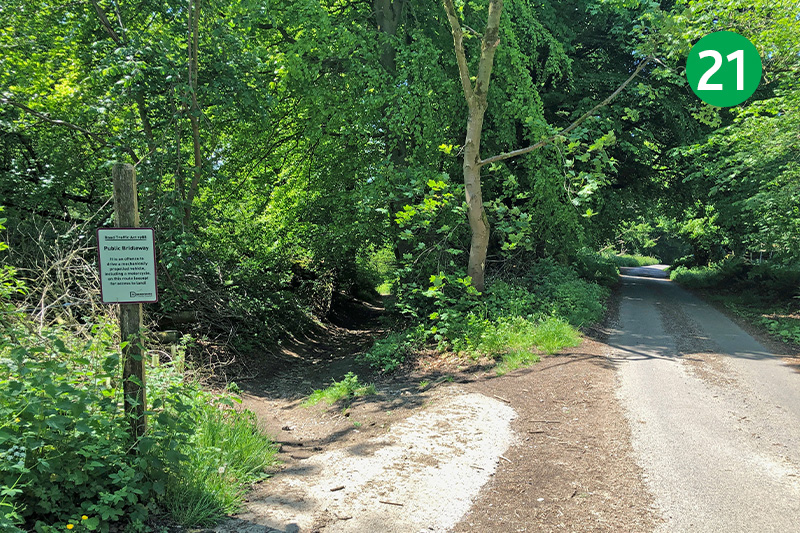
21: As the lane slopes down the other side, look out for a bridleway on the left. Follow this track down through the trees. (If it’s wet and muddy, you may prefer to simply continue down the lane. It’s slightly longer, passing the golf clubhouse on the way, but you arrive at the same point – 24.)
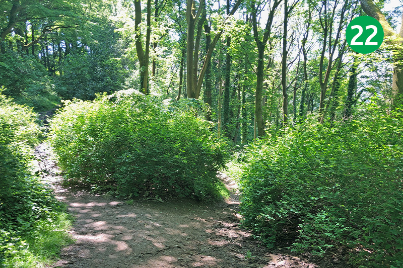
22: Ignore paths joining from both sides and continue taking the steepest route down the slope.
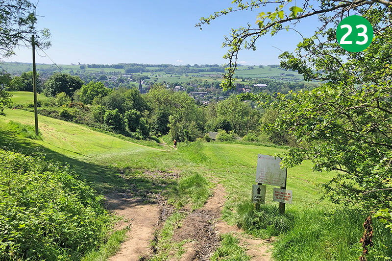
23: Eventually you exit the trees onto the golf course. Follow the public footpath down the slope, making sure any golfers can see you.
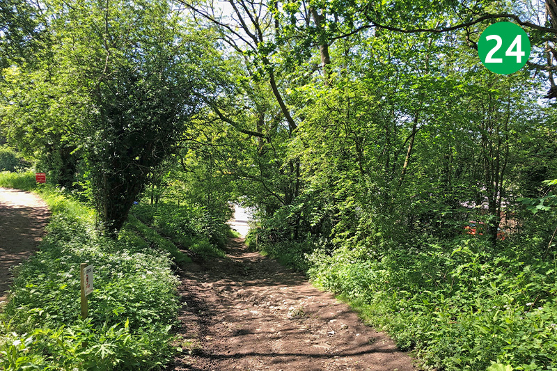
24: After crossing the golf course, continue down the track until you reach the road (this is the lane from point 21). Turn left here and cross the bridge over the Monsal Trail (you should be able to see Bakewell Station on the right, through the trees).
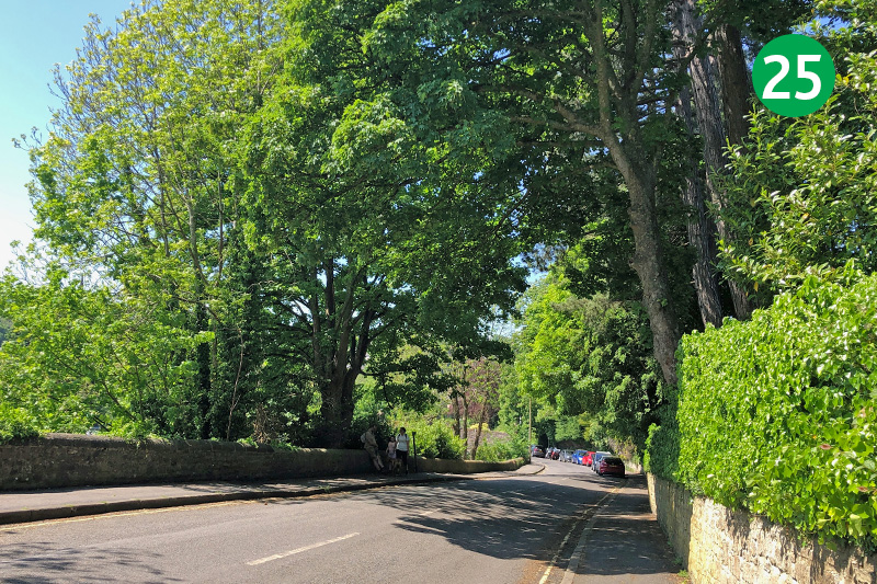
25: Follow the road down the slope, turning left at the bottom to return to the starting point on Coombs Road. But to explore Bakewell, simply stay on the road, crossing over the ancient bridge and turning left. There are lots of pubs, cafes and tearooms in the town, as well as benches beside the river to rest awhile.

