Bakewell > Lathkill Dale: 9mls
Walk distance: 9 miles | Date recorded: 4 July 2024
Start point: Bakewell Station carpark | Google Map
Map app: View on OutdoorActive | Contact me for GPX file
Walk description
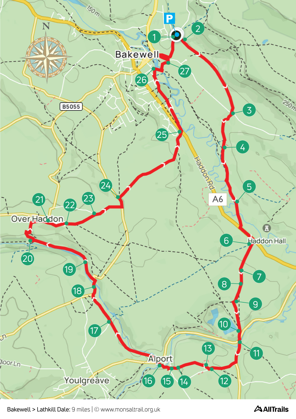
Starting from Bakewell Station, this nine-mile walk passes close to the entrance to Haddon Hall before heading south to the small village of Alport, and then on to Over Haddon through picturesque Lathkill Dale.
There’s a short riverside section nearing the Hall that can get water-logged in winter months, and overgrown in summer, but it’s easy to take an avoiding shortcut (see point 5).
There’s a wide choice of pubs and tearooms in Bakewell. And a popular tearoom at Haddon Hall. The Lathkil Hotel in Over Haddon has a large patio with views across the valley. Bakewell is on many bus routes. The nearest stations are Buxton, Grindleford and Matlock.
A ‘Relive’ version of the walk. Click to play and use the expand option to view in full-screen. Click here for more Monsal Trail ‘Relives’.
Click map to expand in a new browser tab.
Click here to open an A4 printable pdf of map.
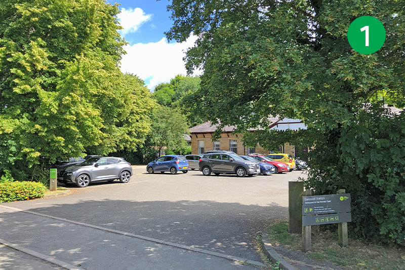
1: Bakewell Station carpark is fairly small and can soon fill up. But there are two large carparks in the town which are just a short walk away and also close to the end of the route – so provide an alternative starting point (see 27 below).
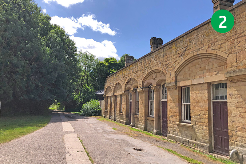
2: Head to the far left corner of the carpark to reach the Trail and turn right past the old station buildings. The station opened in 1862 after town councillors finally managed to persuade the Duke of Rutland to allow the route to pass close to Haddon hall, but only on the condition that it ran under a tunnel so it wouldn’t spoil his view! (Click for more information and photos.)
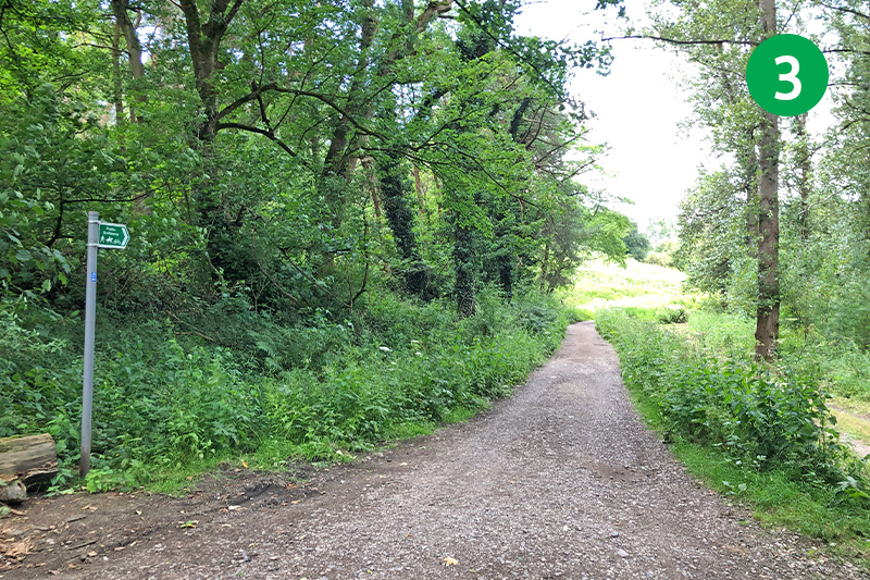
3: Follow the Trail all the way to the end, and head down the slope. Turn left when you reach the road, and then right, along a wide track just before the viaduct that took the railway on to Rowsley.
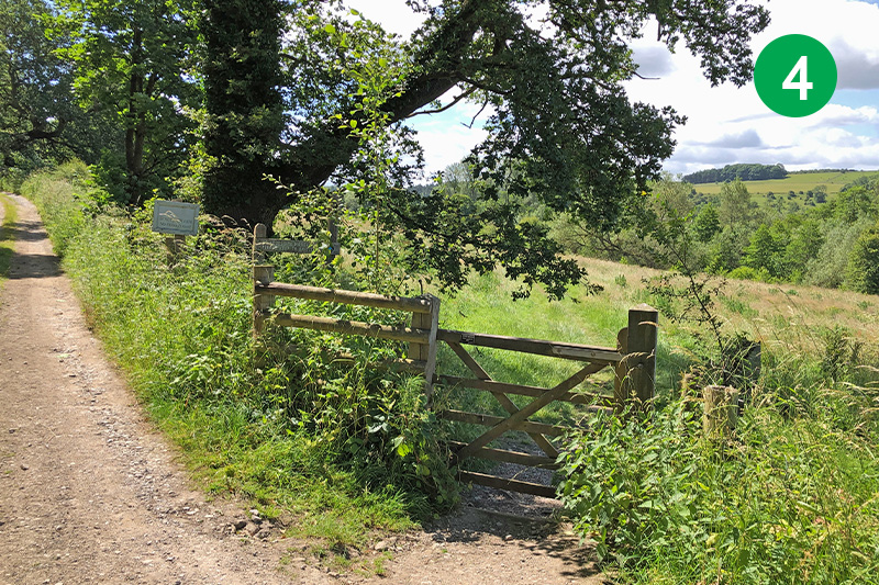
4: Keep on this track until you see a gate on the right. Go through here and head diagonally left along a fairly well-trodden path to the very far corner of this large field.
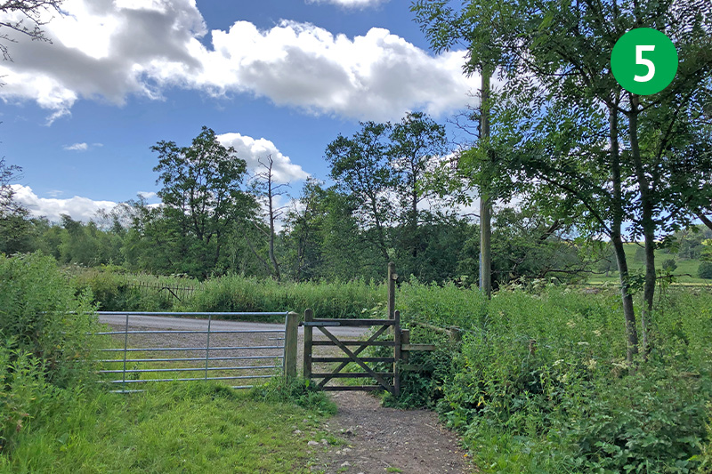
5: Go through the gate and turn right along the road. Look out for a well-hidden footpath sign just a short distance further on the left. Follow this narrow path along the bank of the River Wye for some distance. (This section can get water-logged after rain or in winter months, but is easy to shortcut by continuing along the lane and turning left at the main road.)
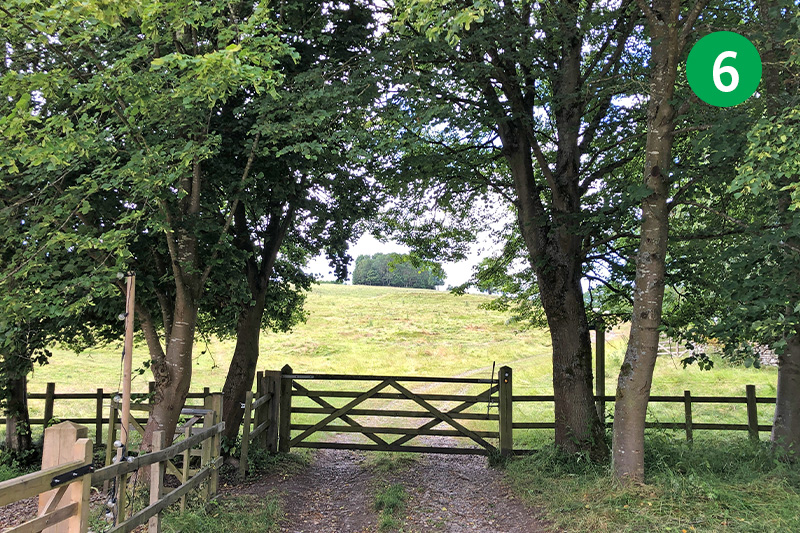
6: Turn left when you reach the main A6 road, crossing the road near the entrance to Haddon Hall. Go between a pair of stone gateposts to the right of the carpark, then through a gate and follow the sign to Alport, heading diagonally left up the slope past a stone barn.
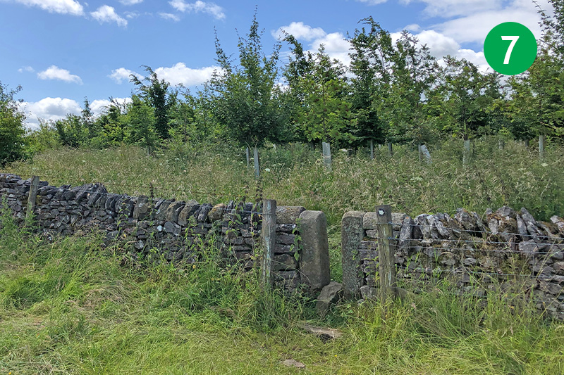
7: Go through a stile near the far left corner of the field and follow the sign pointing left along the grass track.
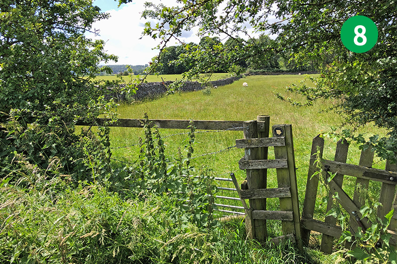
8: At the end of the path, look out for a well-hidden gate between trees. Go through here and turn immediately left through a stone stile.
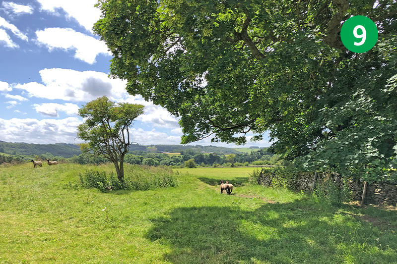
9: Head diagonally right across this large field towards a copse of trees surrounded by a stone wall on the horizon. Turn left when you reach here, down the slope towards the far corner of the field.
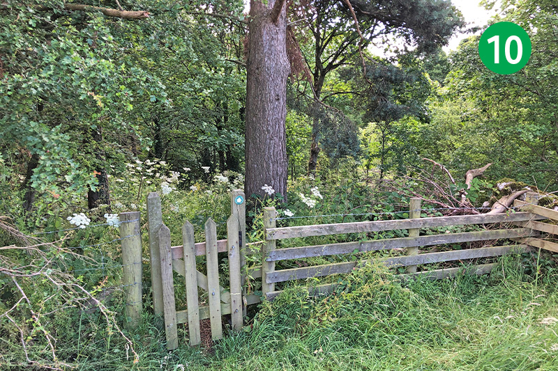
10: Go through a small wooden gate and follow the path through the trees, turning left when you reach a farm track. Follow the track until you reach the main road.
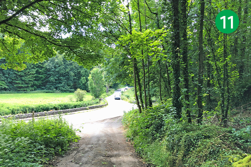
11: Cross the road and go straight ahead, up the lane opposite. There’s no pavement at this point, so some care is needed. It’s always best to walk on the right to face oncoming traffic. But since the lane bares around to the right, you may prefer to stay on the left as it gives a better view.
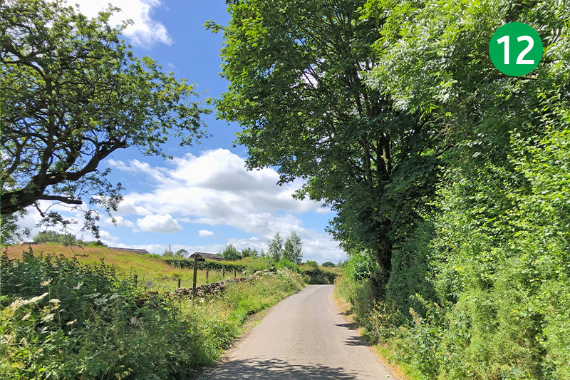
12: Turn right just a short distance further, following the sign towards Harthill. Continue along here until you see a footpath sign pointing to the right which leads into a mobile home park.
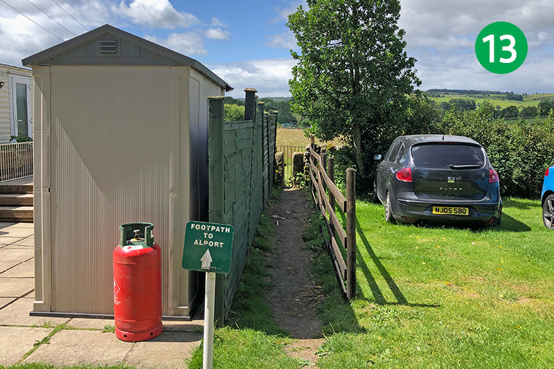
13: Follow the footpath signs to the left through the homes until you can exit between wooden fences and through a stone stile, following the sign towards Alport.
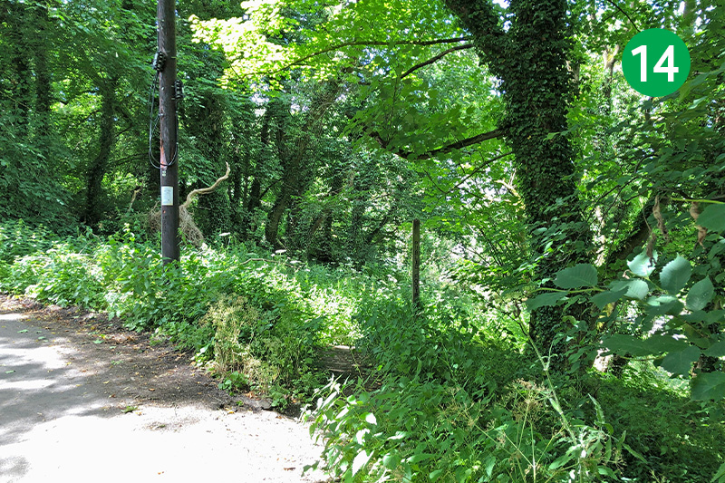
14: Keep along the obvious track in the same direction through a number of gates and stiles until you reach a narrow lane. Go straight ahead up the slope for a short distance and follow the footpath sign on the right which leads down through trees to reach a stone bridge.
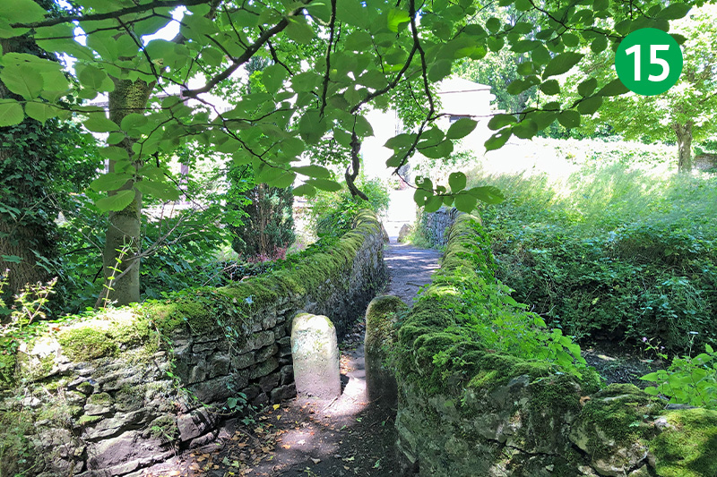
15: Cross the bridge and turn left up the lane, passing through the village of Alport to reach the main road.
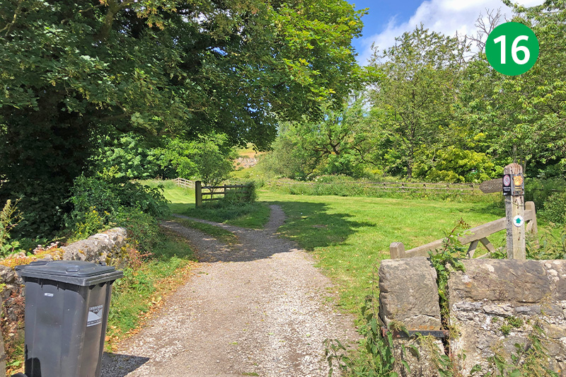
16: Cross the road and go through a gate on the opposite side. (There are often parking spaces beside the road at this point.) Follow this footpath for some distance, through a number of stiles, with the River Lathkill just in view on your right.
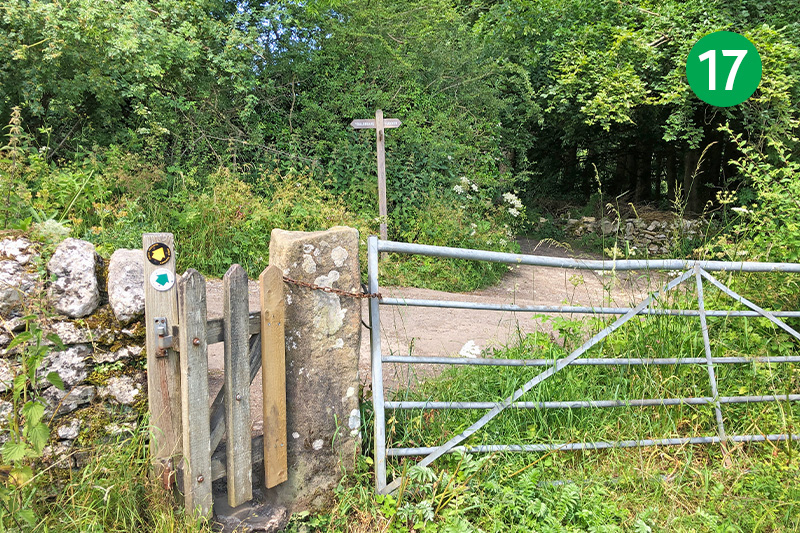
17: You eventually reach a junction of tracks. The route continues in the same direction, but turning right soon brings you to an attractive bridge and a series of ponds which are an ideal spot to rest awhile before returning to this point.
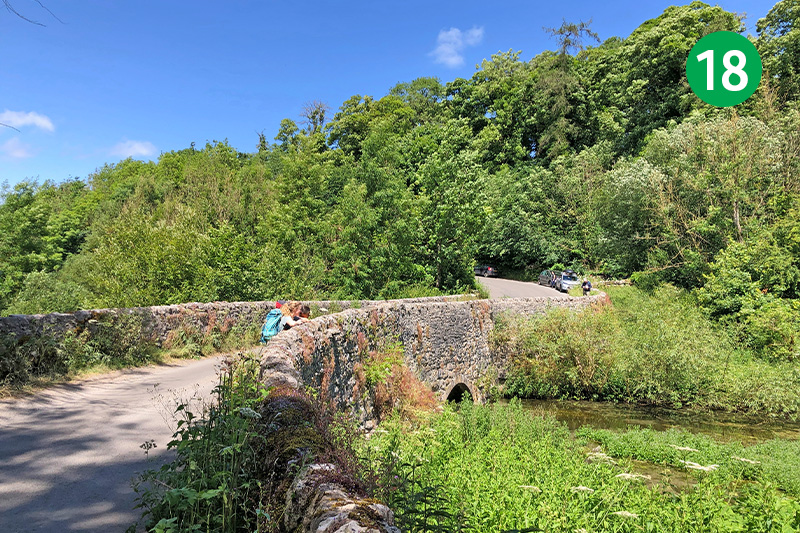
18: Follow the path through a number of gates until you reach the road. Turn right and cross Conksbury Bridge, turning left as you reach the other side.
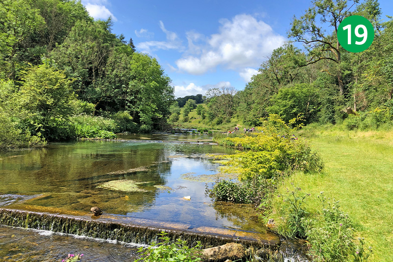
19: This is Lathkill Dale – one of the most picturesque spots in the White Peak. Continue along here, following the track beside the river, until you reach a stone ‘clapper’ bridge.
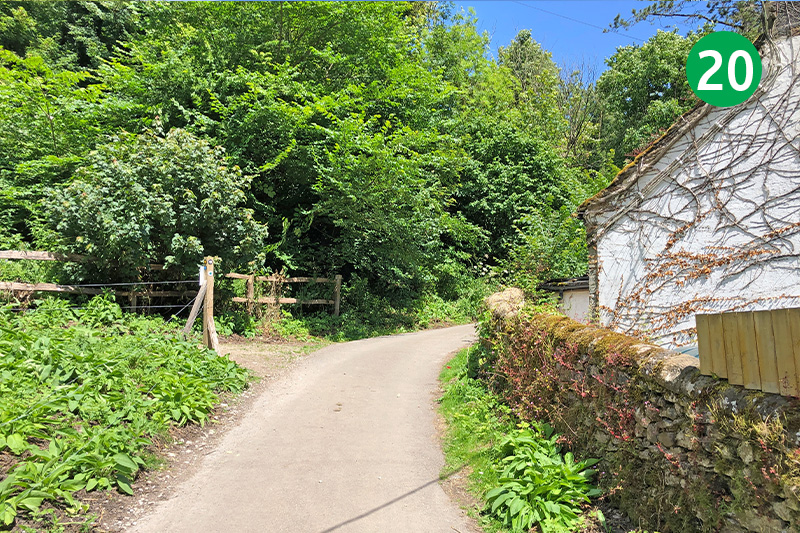
20: Turn right at the bridge and head up the lane to reach the village of Over Haddon. This is the steepest section of the route.
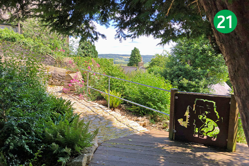
21: Turn right just past the carpark, and continue along Main Street. (A small memorial garden just a short distance further on the right is a perfect spot to rest awhile.) Take the next junction down the slope on the right, following the sign to Lathkil Hotel.
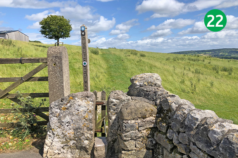
22: The hotel serves a range of meals and drinks, with an outdoor patio to enjoy some glorious views across the valley. Go through the stile just beyond the pub, following the direction of the footpath sign straight ahead.
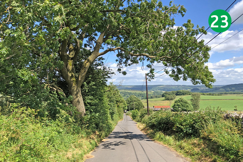
23: Go through a series of gates, following the track which heads slightly left to reach the narrow road over a stone stile, and turn right down the slope.
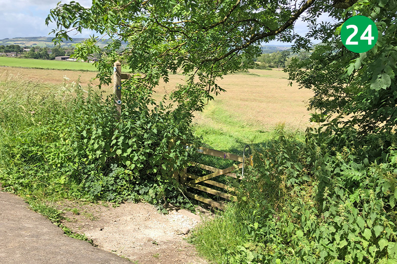
24: Turn left at the T junction, and then right by a footpath sign a short distance further. The left hand track will take you into the centre of Bakewell. But to continue this route, take the path on the right, beside the wall. This eventually reaches the main A6 road.
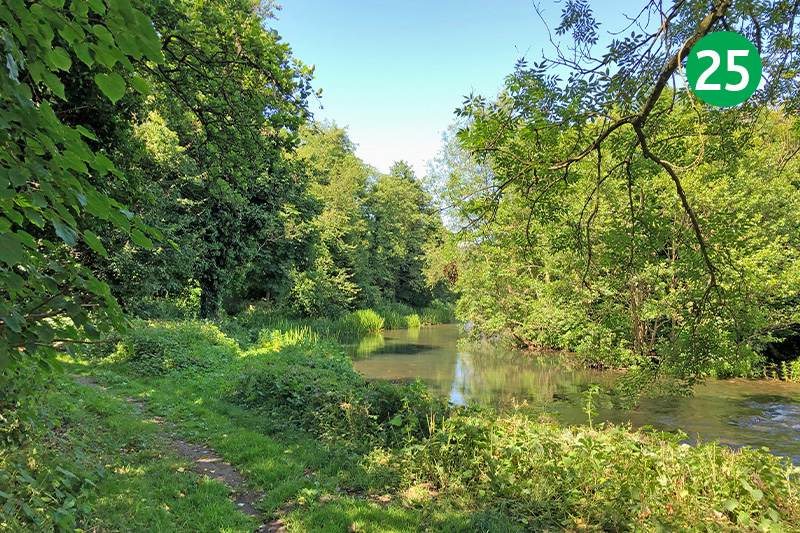
25: Cross the road to the pavement on the other side and turn left. Follow the footpath sign on the right which leads beside the River Wye. Cross the minor road and follow a narrow path between houses and allotments until you reach another road. Cross here and follow another gulley between houses to reach Bakewell Park.
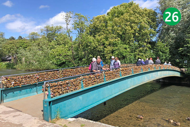
26: Continue in the same direction through the park. Go past the first footbridge and take the second to cross the Wye. This is known as the love lock bridge – for obvious reasons. At the time of writing there are plans to remove them – which would be a shame.
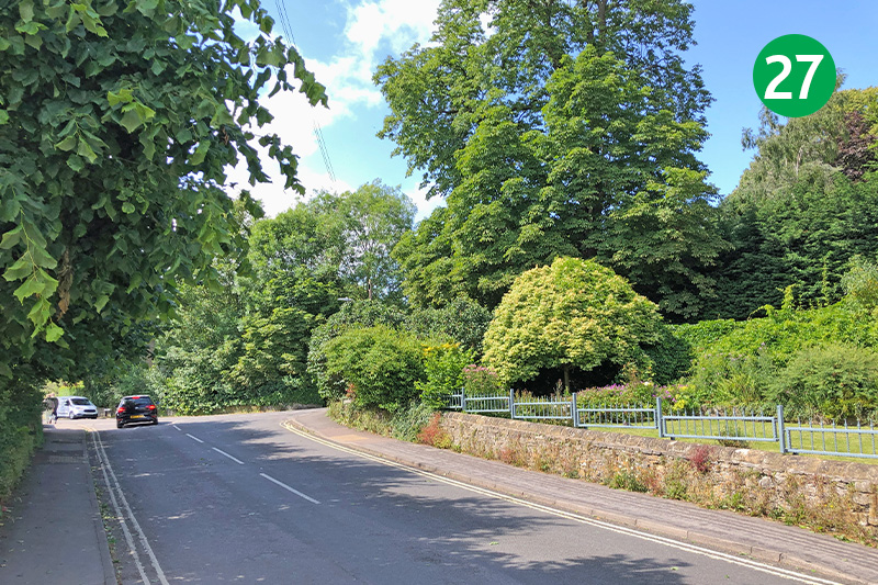
27: Turn left just over the bridge and then left again to cross the corner of the car park to the exit. Turn left and then right, heading up the slope to return to the station car park.

