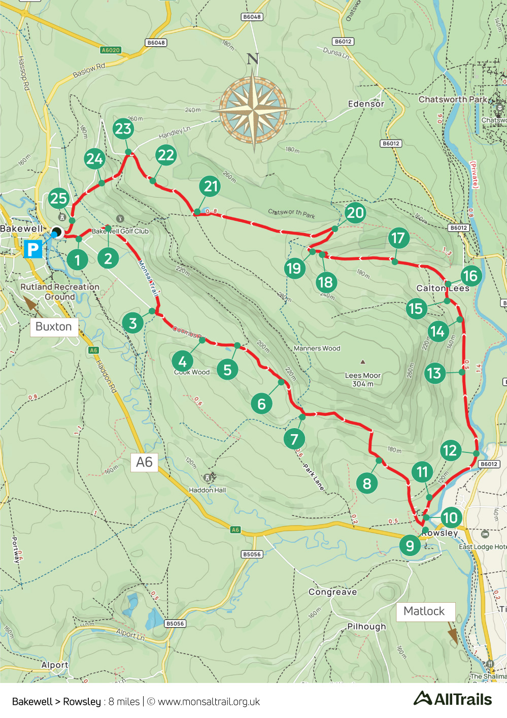
13. Bakewell > Rowsley
Walk distance: 8 miles | Date recorded: May 2024
Start point: Bakewell Bridge carpark | Google Map
GPX file: Just £1.50 | Download file
Walk description
This fairly easy eight-mile walk starts from the popular town of Bakewell, at the eastern end of the Monsal Trail, passing through some glorious White Peak countryside across a mix of farm tracks and open fields to reach the village of Rowsley.
The route branches off a short distance before reaching the centre of Rowsley. But the village is well worth a visit, boasting a number of good pubs and tearooms, as well as a popular shopping centre on the site of the old railway goods yard.
Bakewell is on a number of bus routes. The nearest train stations are at Matlock, Buxton and Grindleford.
A ‘Relive’ version of the walk. Click to play and use the expand option to view in full-screen. Click here for more Monsal Trail ‘Relives’.
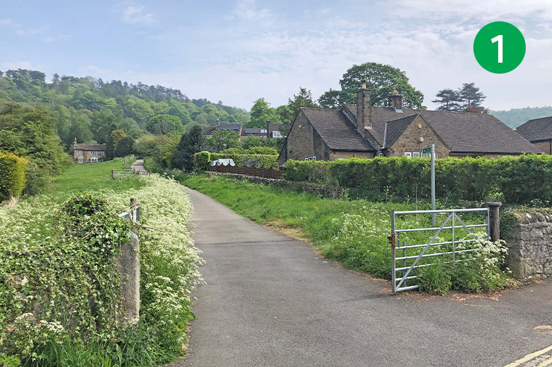
1: There are a number of carparks in Bakewell. The one nearest the start of the route is at Bakewell Bridge. From here, turn right along Coombs Road and follow the first footpath sign on your left. Head up the slope to eventually cross a bridge, turning left at the other side, descending some steps to reach the Monsal Trail.
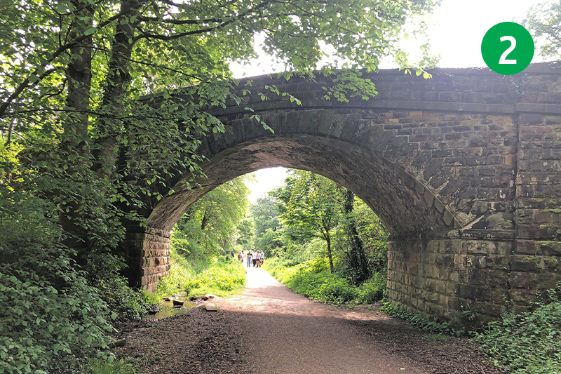
2: Turn left under the bridge you’ve just crossed and continue along the Trail until you reach the end, dropping down the path on the right. The next station along the line was Rowsley. (Click here for a brief history of the railway which now forms the Monsal Trail.)
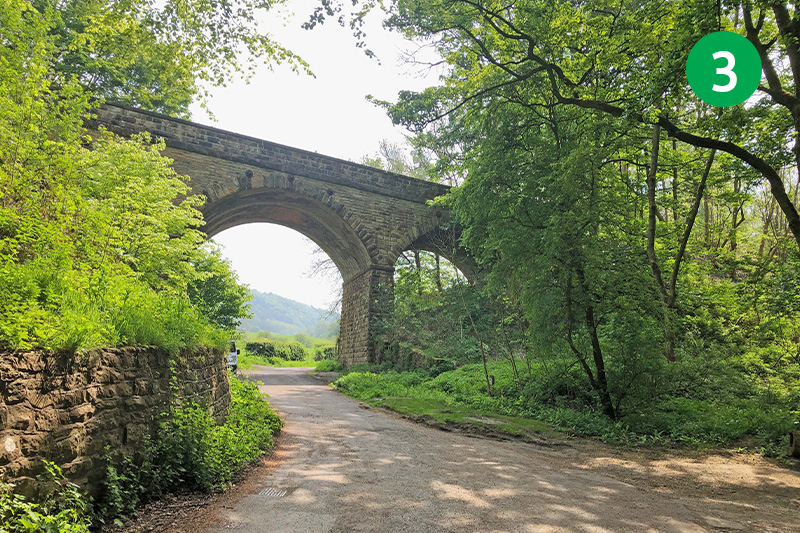
3: Turn left when you reach the road, passing under one of the many viaducts along the line. This is the far end of Coombs Road. You can often find free parking along this narrow lane, which could be an alternative starting point for this walk.
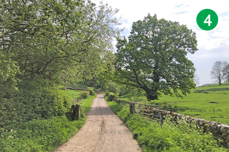
4: Follow this attractive farm track for some distance as it winds through some wonderfully scenic White Peak countryside, passing a number of farm gates on the way.
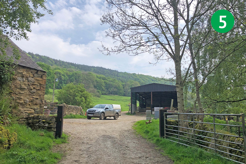
5: Cross the farmyard, keeping to the left of a large barn, and continue to follow the wide track.
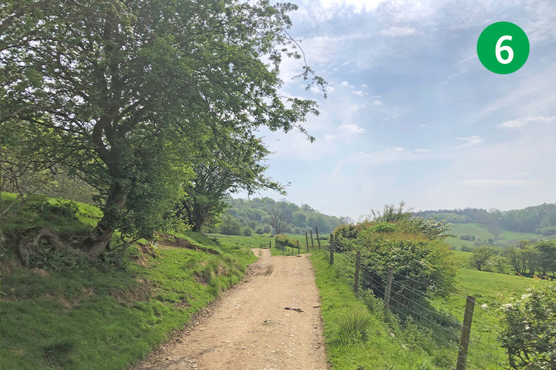
6: The trees to your left are part of Manners Wood. Manners is the family name of the Dukes of Rutland who own Haddon Hall, which is just out of view on your right. It was a Duke of Rutland who insisted that the railway was taken through a tunnel as it passed the Hall.
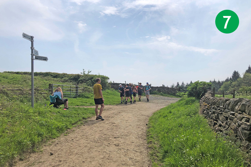
7: Turn left when you eventually reach a junction of tracks beside a footpath sign, passing to the side of a metal barrier and heading up the slope.
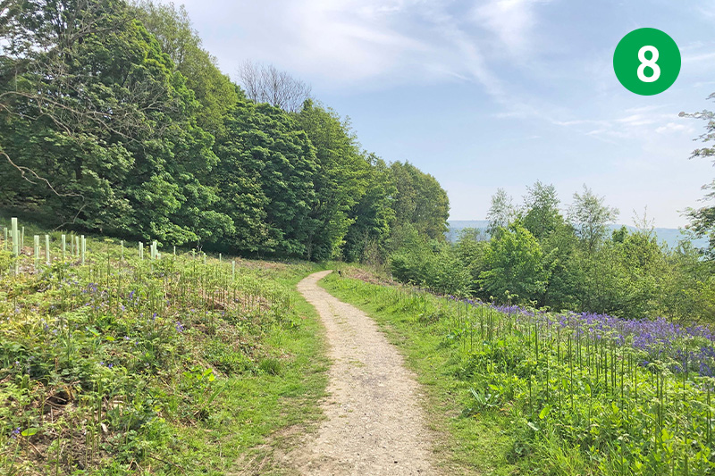
8: Continue on this path all the way to the outskirts of Rowsley. The route follows a footpath sign on the left, just as you enter the village, but there are a couple of options for refreshments just a short distance further – Rowsley Post Office on the right offers a range of good snacks. There’s also The Peacock pub on the left.
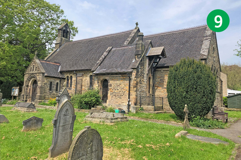
9: Rowsley Church is worth a visit. There’s a memorial just opposite the side door to the five local men who died building the Haddon Hall railway tunnel in 1861. And behind the graveyard you can see one of the viaducts which once carried trains between Manchester and Derby, and on to London St Pancras.
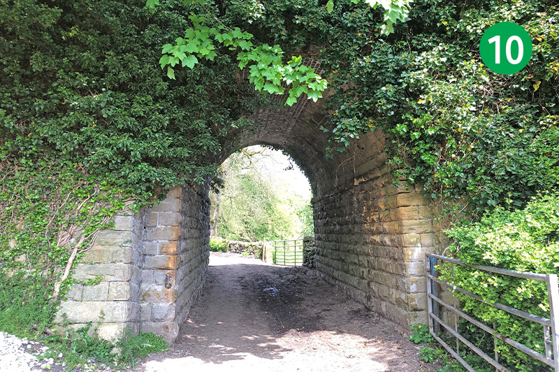
10: If you’ve gone as far as the pub, tearoom or church, retrace your steps to the footpath sign to Calton Lees which will now be on your right, and follow the track under one of the viaduct arches.
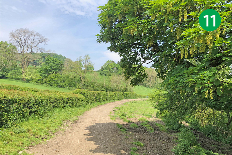
11: You’re now on the Derwent valley Heritage Way; a 51-mile route which follows the River Derwent all the way from Ladybower Reservoir to where it joins the River Trent near Shardlow.
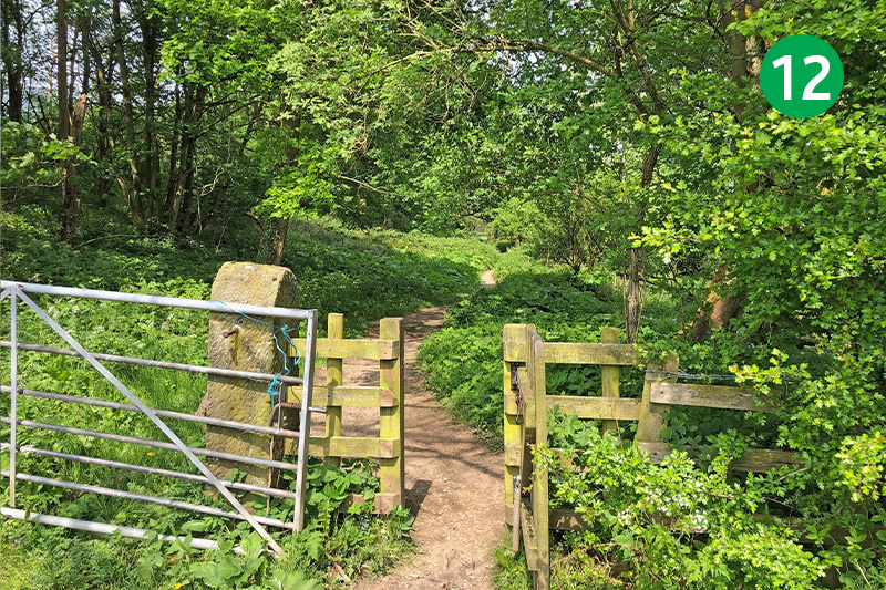
12: This attractive track crosses a mix of woodland and open countryside. But it can get muddy in places during winter months and after a lot of rain.
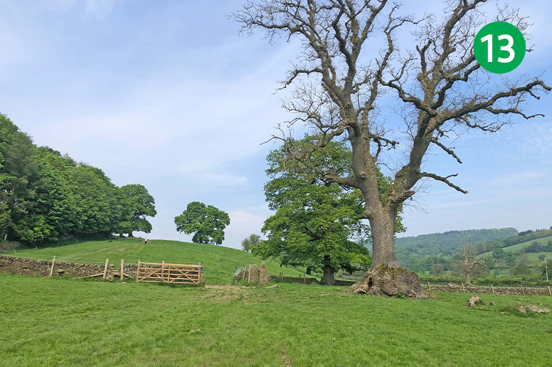
13: The route is fairly easy to follow from all the walkers who have gone this way, keeping beside the Derwent before heading diagonally left towards the trees in the distance and passing through a series of gates and gaps in the stone walls.
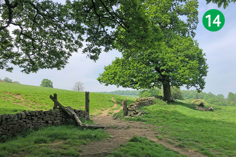
14: Keep to the right as you pass between a couple of broken gateposts, heading for a farmhouse that soon appears over the horizon.
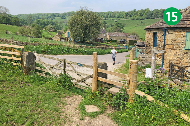
15: Cross a wooden stile as you near the farmhouse, turning right along the lane.
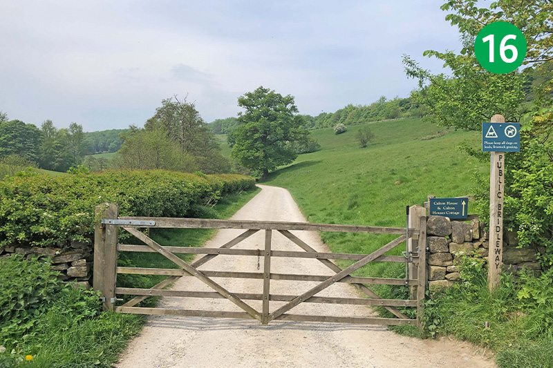
16: Turn left at the next junction of lanes and paths, going through a farm gate and following the sign towards Calton House. (The lane behind you at this point leads to Calton Lees Garden Centre and the riverside path to Chatsworth House.)
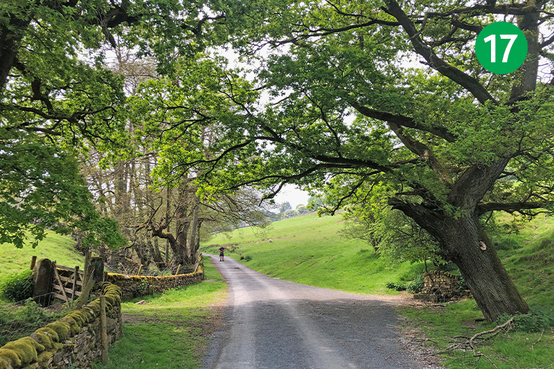
17: Continue along this attractive lane for some distance.
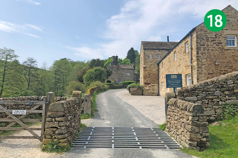
18: Follow the lane as it snakes up the slope, passing between holiday cottages.
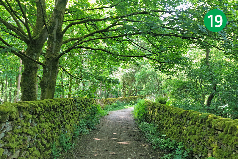
19: The route narrows to a track between stone walls, eventually ending at a farm gate. Through here, taking the right hand fork up the slope towards a footpath sign in the distance.
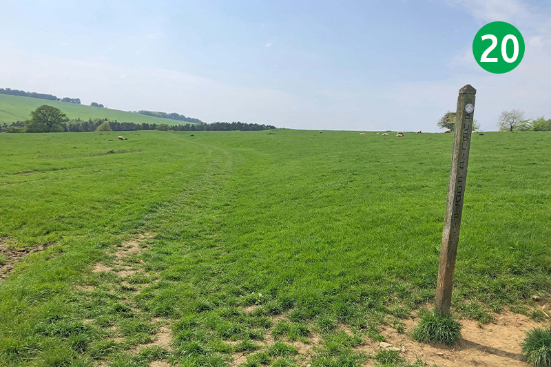
20: Follow the direction of the footpath sign to the left across the open field. (Continuing in the same direction would take you to a gate in the stone wall leading down towards Chatsworth House.)
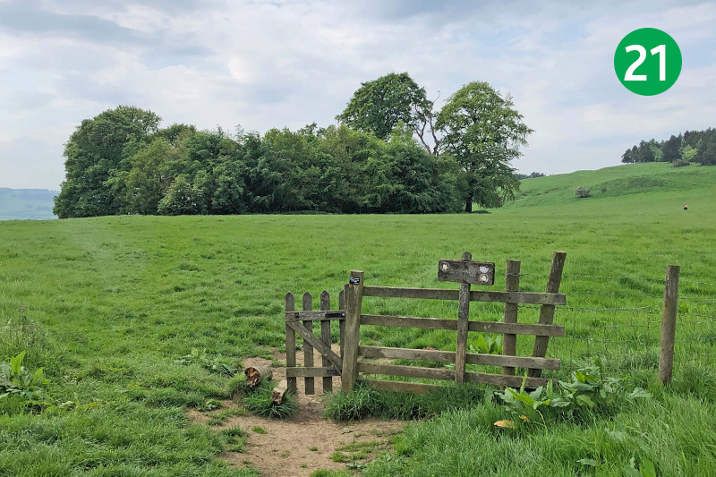
21: Keep in the same direction for some distance across these wide fields, passing through two wooden gates until you reach a small pond. Follow the direction arrow by the gate to the right, heading up the slope.
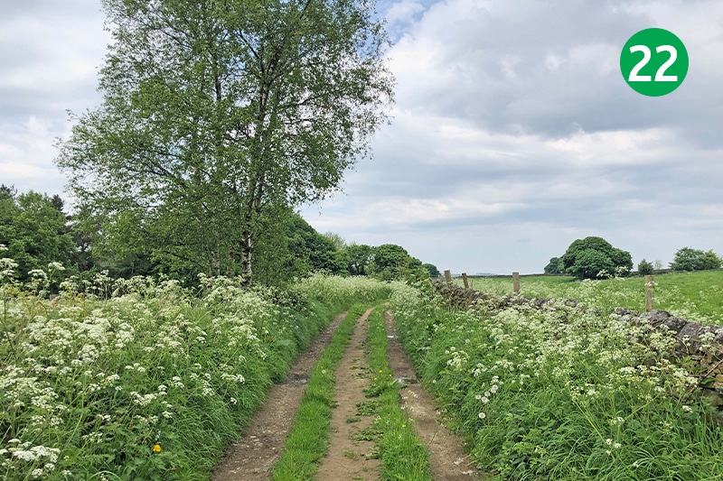
22: Follow the path over the rise and go through a gate to reach a farm track. (A flat area on the left was the site of an Iron Age fort.) Keep on the track until it exits onto a lane, and turn immediately left down a path through the trees. (This track can get muddy and slippery in winter months. To avoid it, simply follow the lane all the way down into Bakewell.)
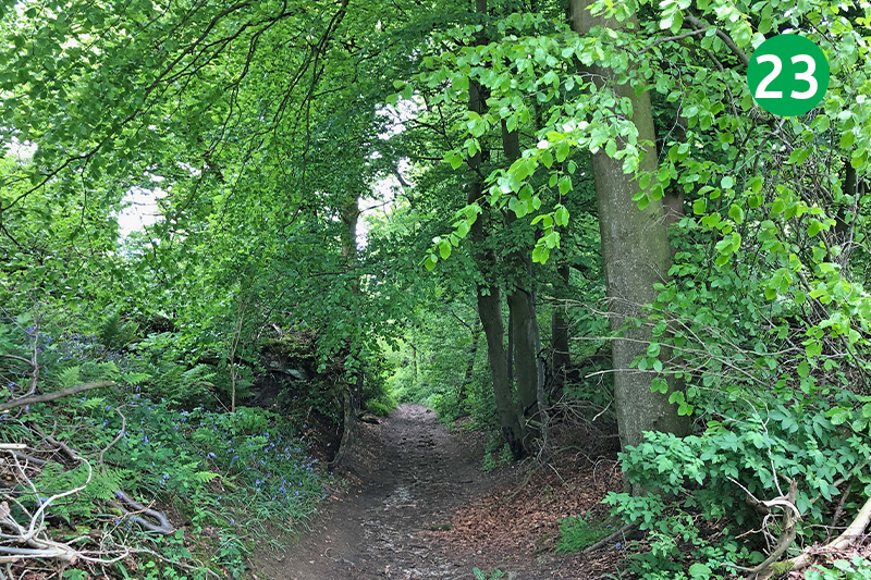
23: Follow this path as it snakes down the slope, ignoring other paths that join it from both sides.
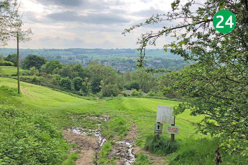
24: The path eventually exits onto a golf course. Keep in the same direction down the slope, making sure any golfers can see you.
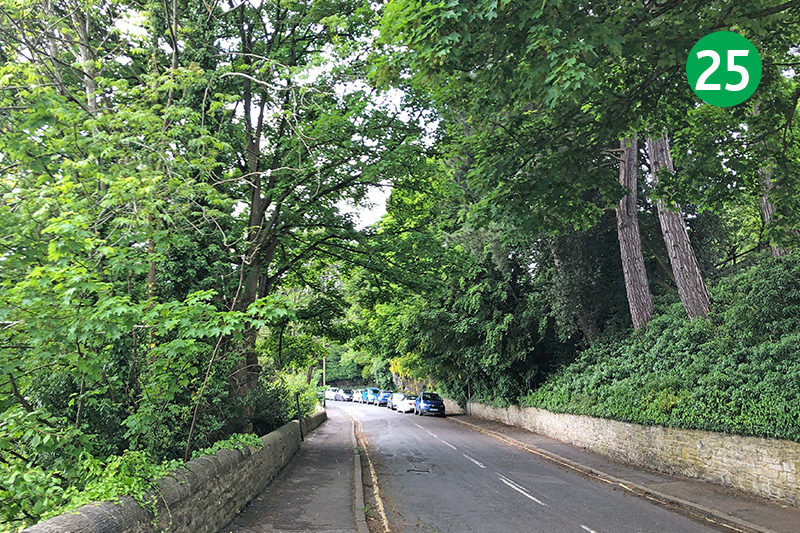
25: Continue in the same direction when you reach the road, passing over a bridge which spans the Monsal Trail. (You maybe able to spot the chimneys of Bakewell Station through the trees on the right.) Head down Station Road, turning left at the bottom along Coombs Road to return to the carpark.

