Hassop Station > Eyam
Walk distance: 11 miles | Date recorded: 18 July 2024
Start point: Hassop Station | Google Map
Map app: View on OutdoorActive | Contact me for GPX file
Walk description
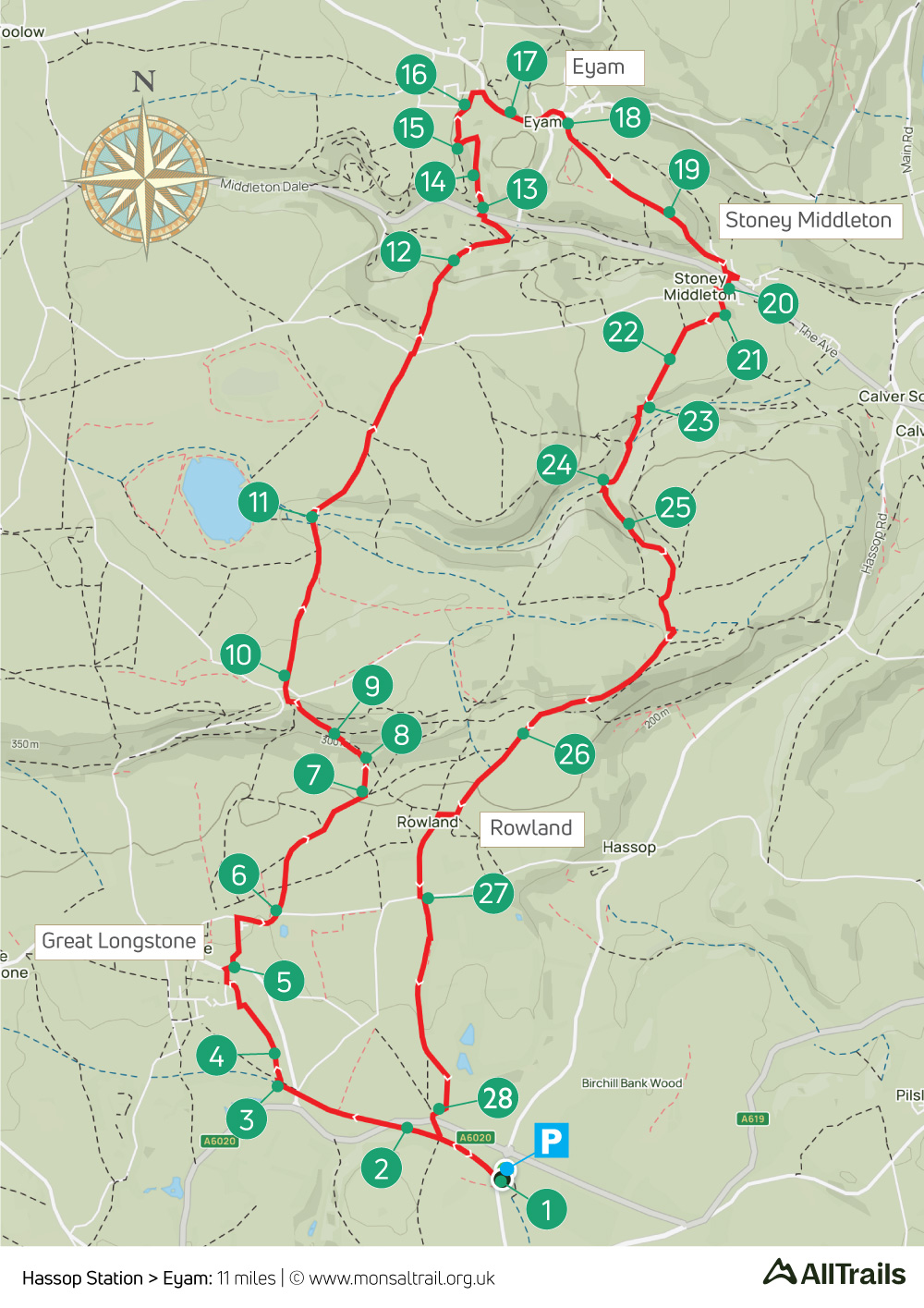
This 11 mile walk is the longest in the series so far, starting from Hassop Station along the Monsal Trail before heading north through Great Longstone and over Longstone Moor to the plague village of Eyam, returning through Stoney Middleton and Rowland.
The approach to Eyam through Delph Nature Reserve can be difficult when the ground is muddy. But it’s well worth the effort to visit Cucklet Church, a natural cave where William Mompesson, the Rector of Eyam, preached in the open air during the outbreak of the Black Death between 1665-6.
The walk can be shortened to around 7 miles by going from point 11 to 24 along Coombs Dale and not visiting Eyam.
A ‘Relive’ version of the walk. Click to play and use the expand option to view in full-screen. Click here for more Monsal Trail ‘Relives’.
Click map to expand in a new browser tab.
Click here to open an A4 printable pdf of map.
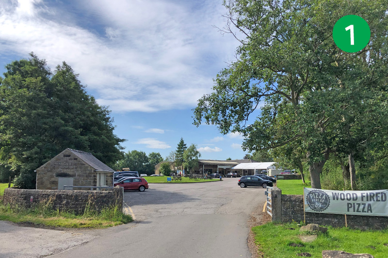
1: The carpark at Hassop Staion is pay and display, but the cafe owners often open a nearby field beside the roundabout where visitors can park for free during the summer and busy periods. Walk past the cafe to reach the Monsal Trail and turn right, under the bridge.
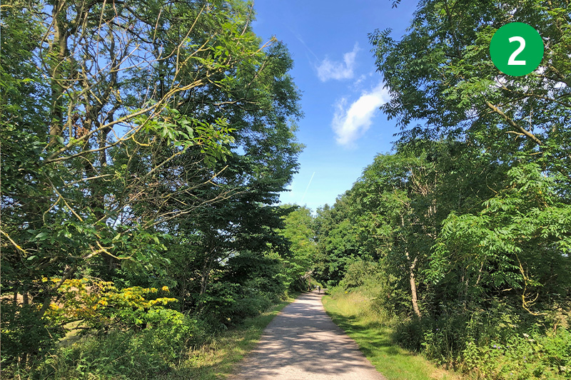
2: Opened in 1862, the station was one of five along the 8.5 mile section of the railway that forms today’s Monsal Trail (click for information and old photos). The line closed in 1968 and was transferred to the Peak District National Park in 1980. But it was only in 2011 that the six tunnels along the trail were opened, allowing walkers and cyclists to easily go from end to end.
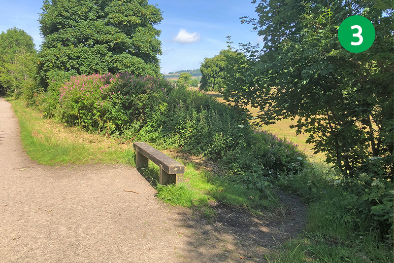
3: Follow the Trail for some distance until you come to a bench on the right, opposite a footpath sign. Take the path behind the bench, turning left at the footpath sign just a short distance along this narrow track, through a stone stile.
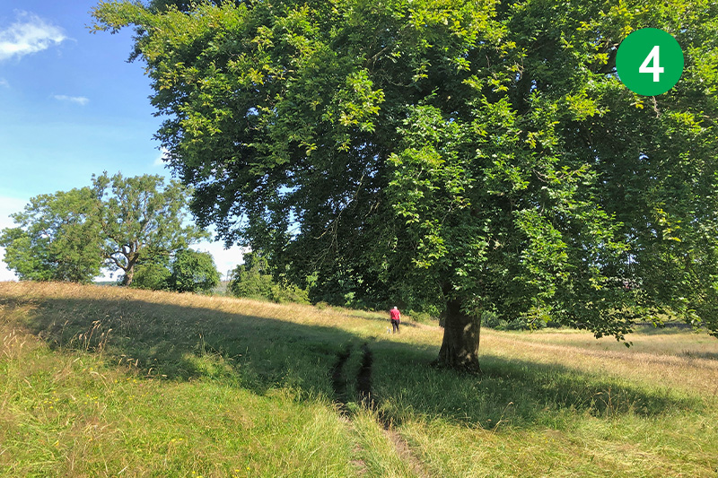
4: Cross this wide field straight ahead, following the obvious path towards some large trees. Continue in the same direction through a number of small gates and stiles, heading towards some houses. Keep straight ahead through the estate, turning right at the T-junction to reach the main road.
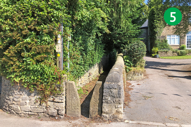
5: Turn right along the road and then immediately left through a stone stile leading to a narrow path. Follow this path, crossing over a minor lane, until you exit onto a larger road known as Beggarway Lane.
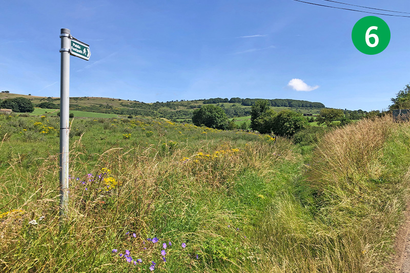
6: Turn right along the lane, following it around to the left as it exits Great Longstone. Go left at the next footpath sign, along Hardrake Lane – an ancient trackwqay used by miners (rake was a Derbyshire name for a mine).
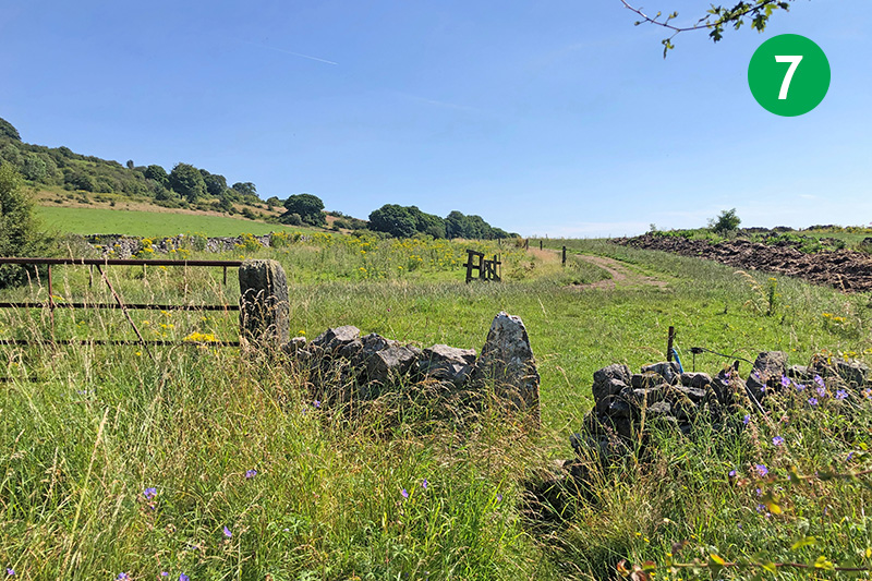
7: Follow this attractive track for some distance until you eventually exit through a stone stile. Turn left at the small wooden gate, heading up the slope towards a wooden stile at the top of the field. Follow the direction arrow on the stile to the left.
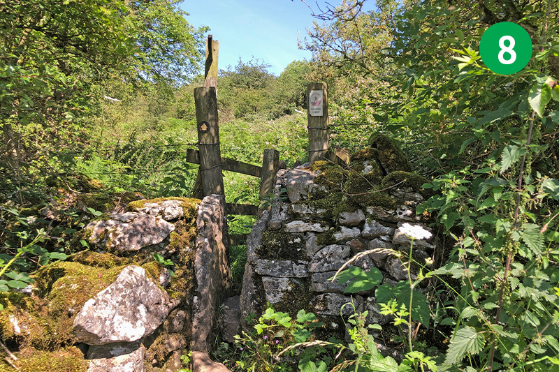
8: Pass through a narrow stile, following the direction arrow along this narrow path as it snakes up the slope. Keep to the higher track when you reach a junction of paths, continuing up the slope to reach a wider track.
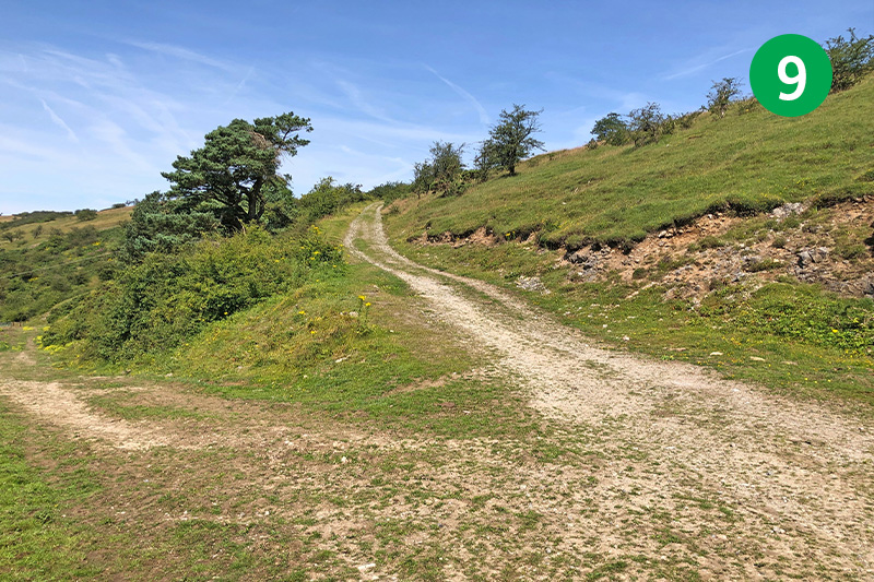
9: Turn left to reach a junction of tracks. Take the higher one to the right until you reach a wooden stile beside a metal farm gate. Go over the stile and then across the next stile on the right to reach a minor road. Cross the road straight ahead, following the footpath sign into a field, keeping the stone wall on your right.
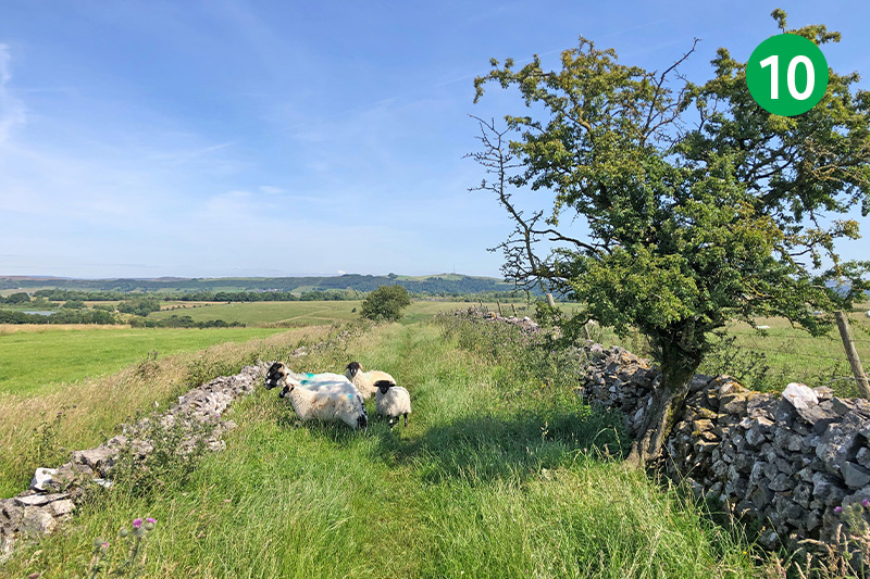
10: Keep in the same direction along this path for some distance, going through a series of wooden gates and keeping the stone wall on your right.
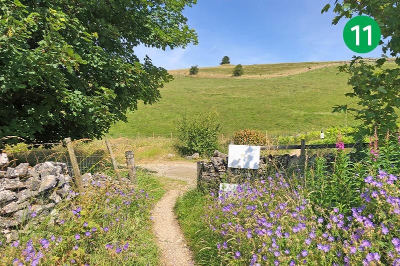
11: You eventually reach a junction of tracks. To the right is the start of Coombs Dale – a narrow, hard-surfaced track which was once an important route across this fairly remote landscape. (This is a possible shortcut if you prefer a shorter walk, taking you to point 24.) The track straight ahead is known as Black Harry Lane after a notorious 18th century highwayman who ended his days on the gibbet at Peters Stone.
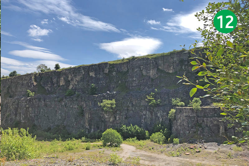
12: Follow Black Harry Lane for some distance, crossing a narrow road before passing alongside Darlton Stone Quarry on the right. This was the location for a famous Tom Cruise, Mission Impossible scene when a train was run over the edge to crash in spectacular style.
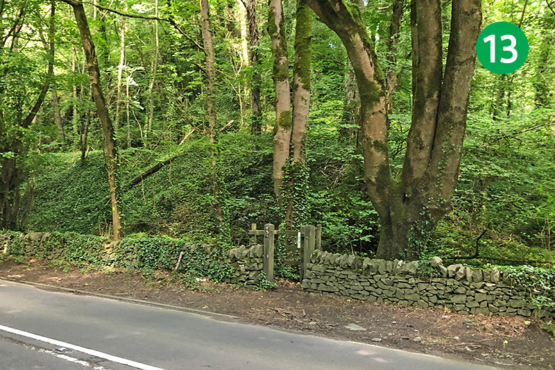
13: Follow the quarry road around to the left to reach the main road beside a wide gate. (This is free access land, but if the top gate is closed, simply follow the footpath sign down a narrow path to reach the road and turn left.) Cross the road slightly left to enter Eyam Delph Nature Reserve through a small gate.
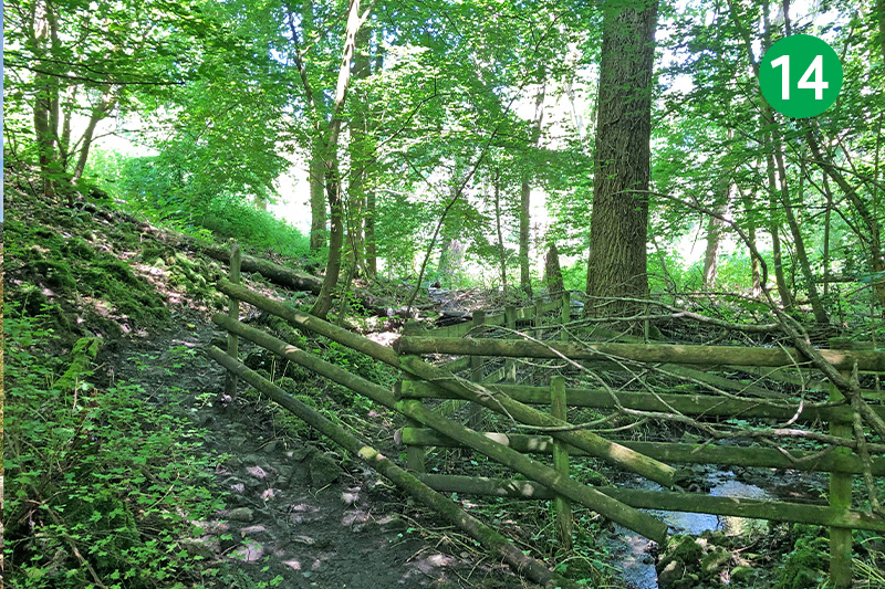
14: This part of the walk can be very muddy and difficult (a large tree had fallen across the path when I walked it). But the only other route to Eyam is up the narrow road – which has no pavement for most of the way. Follow the path to the left of the stream as it slopes fairly steeply up and around to the left.
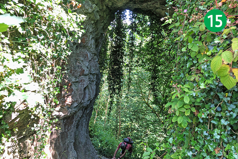
15: A signpost at the top of the slope, just before a wooden gate, points left towards Cucklet Church. The route goes through the gate, but it’s worth visiting the natural caves where Eyam’s Rector, William Mompesson, preached in the open air during the plague outbreak.
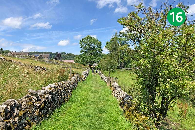
16: Retrace your steps from the caves and go through the wooden gate, following the grass track as it winds around to reach a narrow lane. Turn right past the houses to reach Eyam Hall’s small complex of cafes, shops and a bar – which are the perfect half-way point to enjoy a rest and refreshment.
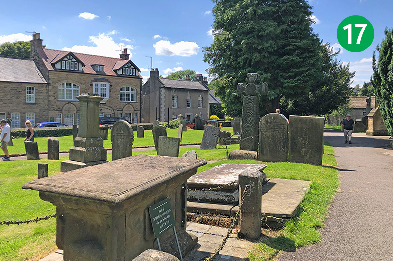
17: Eyam’s small museum is just a short distance away and is well worth a visit to learn how Mompesson managed to persuade the villagers to isolate when the Great Plague struck in 1665. Head along the road towards the church. The grave of William’s wife, Catherine, who died from the plague, lies close to the front porch.
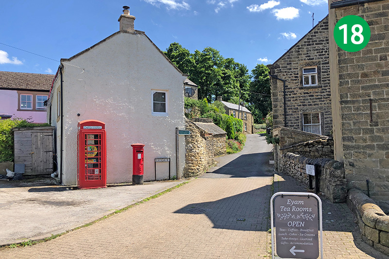
18: Plaques outside many of Eyam’s old cottages record those who died from the disease – some 260 from a population of around 800 – during the 14 months it ravaged through the small village. Continue towards the centre of the village, and then follow a footpath sign on the right, beside a telephone kiosk and post box
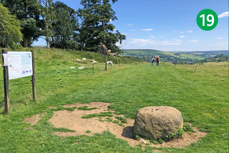
19: Continue along this small lane through the houses until you can pass through a gate onto a track and then along a narrow path through a number of stiles to eventually reach the Boundary Stone. A display explains that money was left in the six holes soaked in vinegar to pay for food and medical supplies during the plague.
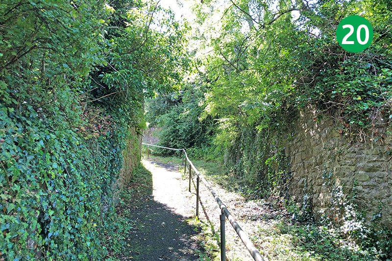
20: Continue down the slope, following the obvious path, and turn right through a small wooden gate along a lane to reach Stoney Middleton. Take the first turn on the right and cross the main road, heading up the steps on the other side. Turn right when you reach the top and then left a short distance further, along Eaton Fold.
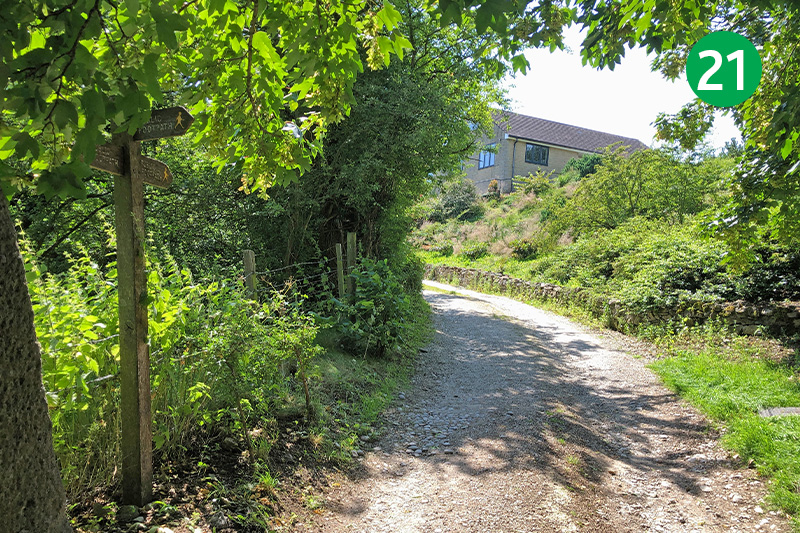
21: Look out for a well-hidden footpath sign pointing to the right. Follow this up the side of a garden to reach a small wooden gate at the far end.
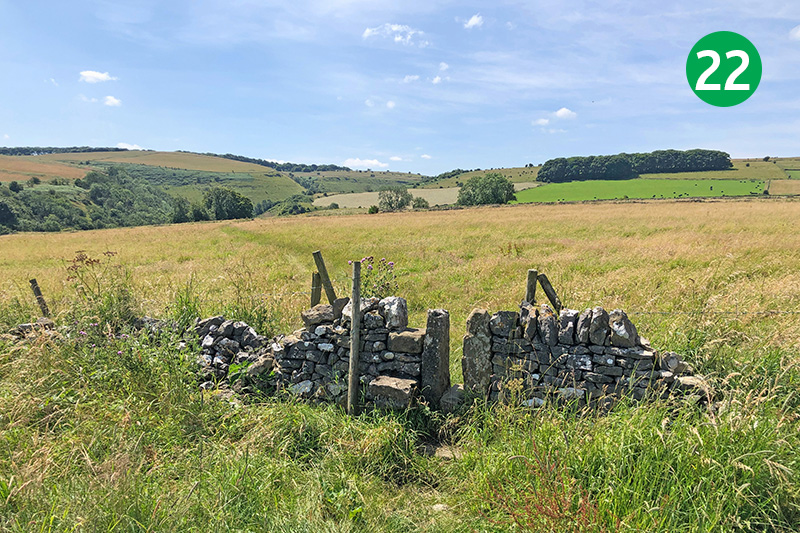
22: Go through the gate into a large field, following the fairly indistinct path diagonally left down the slope, keeping in the same direction through a number of stone stiles to eventually reach a small wooden gate.
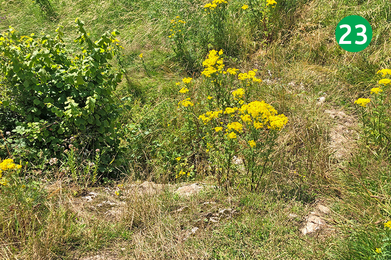
23: This part of the walk can be difficult to follow, particularly when the narrow path is muddy and overgrown. There’s a short but fairly steep section down some uneven rocky steps which is easy to miss. The path then winds down the slope to eventually reach Coombs Dale through a wooden gate.
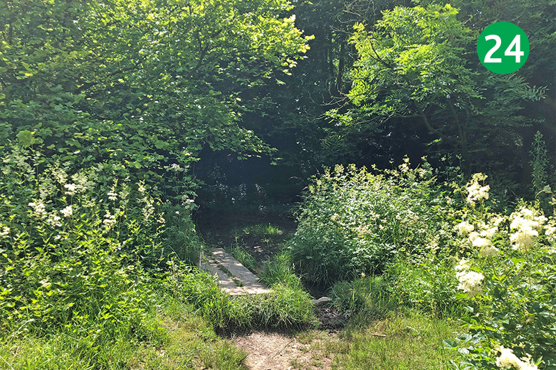
24: Turn right along Coombs Dale, and cross the second small footbridge on the left over a stream, just past a wooden bench on the right. (This is the end point of the shortcut from Black Harry Lane.)
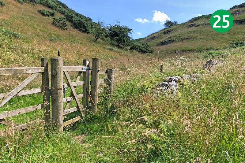
25: Go through a small wooden gate and follow the path around to the left, keeping the trees to your left, to eventually reach another gate. Go through here and turn right, following the direction arrow through the valley. This fairly indistinct path eventually slopes up and around to the right, towards a wide gate on the horizon.
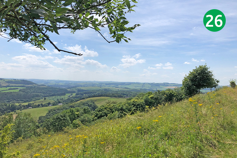
26: Crosss the stile beside the gate, continuing in the same direction along the farm track, and passing to the left of some farm buildings. Go through anther couple of gates to eventually reach a wider track. Turn left and then immediately right, and stay on this wide track as it drops gently down, enjoying wonderfully panoramic views across the White Peak.
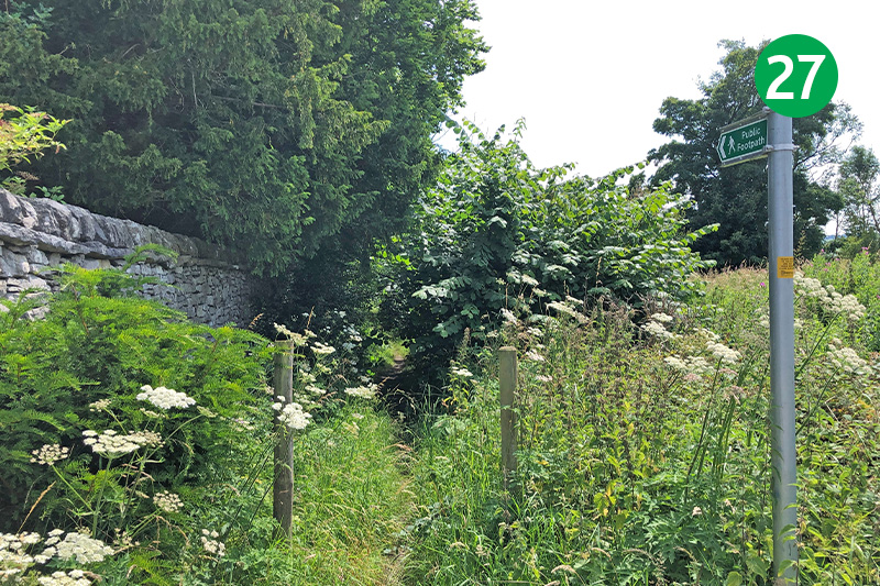
27: Follow the lane through the hamlet of Rowland, turning left when you reach a T junction, and then immediately right to follow a footpath sign beside the boundary wall to Hassop Hall, keeping on this narrow path for some distance.
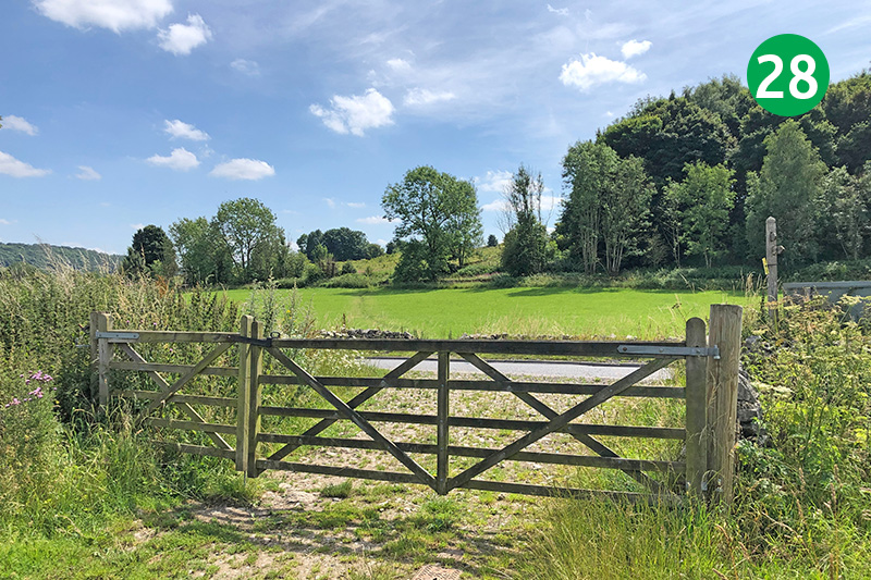
28: Follow the narrow path along the left of farm fields, down the slope to reach a large farm gate. Through here and cross the road slightly left, passing through a gap in the stone wall and heading up the obvious path to rejoin the Monsal Trail. Turn left along the Trail and it’s just a short distance back to the start point at Hassop Station.

