Litton > Cressbrook Dale
Walk distance: 8 miles | Date recorded: 23 June 2024
Start point: Litton | Google Map
Map app: View on OutdoorActive | Contact me for GPX file
Walk description
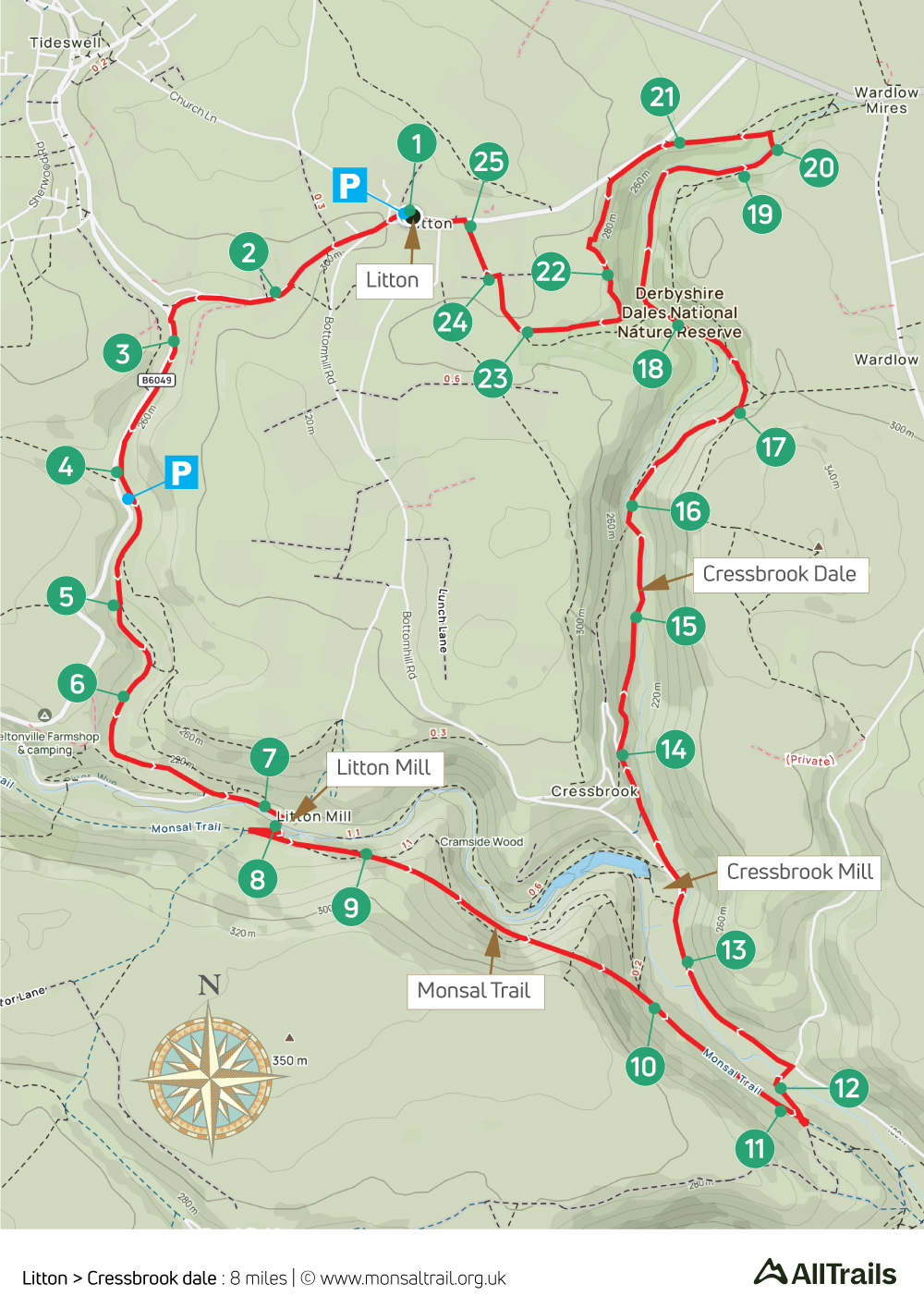
This 8-mile walk starts from Litton’s pretty village green, heading first through Tideswell Dale to reach the River Wye near Litton Mill before joining the Monsal Trail as far as the disused Monsal Dale Station.
The route then drops down to the hamlet of Upperdale – where there are nearby benches beside the river – passing Cressbrook Mill to enter Cressbrook Dale. There’s a choice of high or low routes about half-way through the dale (see point 16). And a possible shortcut at point 18.
The Red Lion pub in Litton is always popular, with benches on the village green. There’s also a small shop nearby. On-street parking is usually easy to find, and the village is on bus routes from Buxton, Bakewell and Tideswell.
A ‘Relive’ version of the walk. Click to play and use the expand option to view in full-screen. Click here for more Monsal Trail ‘Relives’.
Click map to expand in a new browser tab.
Click here to open an A4 printable pdf of map.
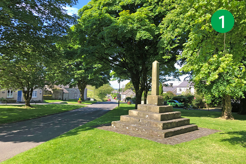
1: From the remains of Litton’s medieval market cross, with the Red Lion pub behind you, head along the road straight ahead, ignoring the roads to the right and left. The pavement runs out for a short distance, but visibility is fine at this point. Keep going past a lane on the left.
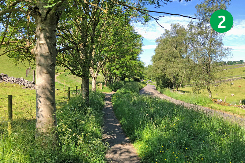
2: Follow the attractive path on the left of the road for some distance until you reach the main Miller’s Dale to Tideswell road. Turn left and then go through a small gate on the left.
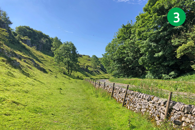
3: Follow the obvious path straight ahead across this open field, keeping the stone wall on your right. Exit through a gate at the end, following the footpath sign through the trees.
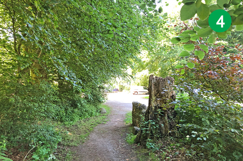
4: This path leads to a small carpark which is an alternative starting point for this walk. Follow the path straight ahead, past the public toilets. There are some benches here which make a good spot for a picnic.
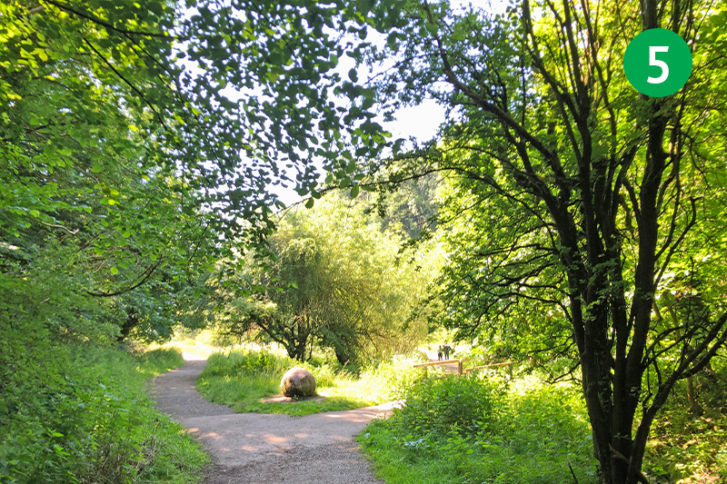
5: Go through the gate to enter Tideswell Dale. An information board explains that the area was once quarried for basalt, a rock formed by volcanic activity some 300 million years ago that was crushed and used for road building. The path soon divides but you can take either as they rejoin a short distance further.
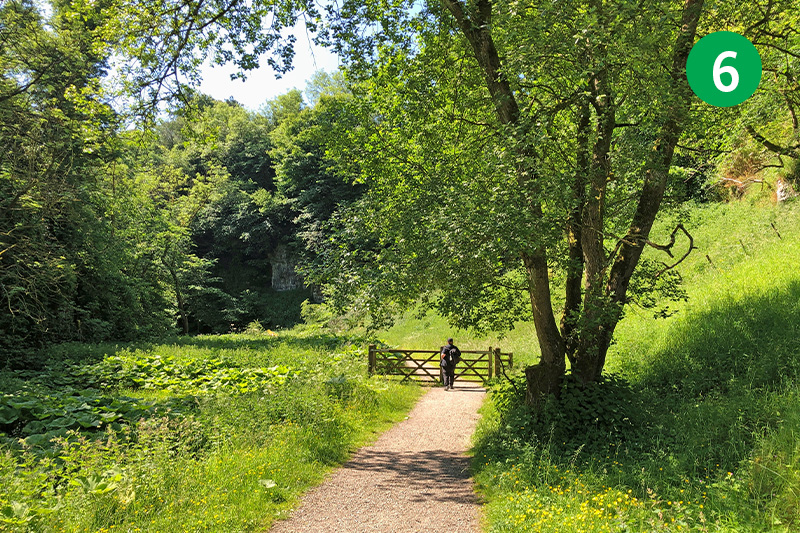
6: The dale is one of the shortest in the White Peak, but is also one of the most picturesque. Which makes it difficult to imagine how it would have been during its life as a busy and noisy quarry.
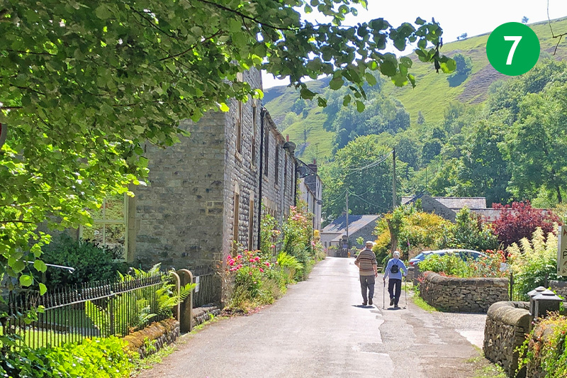
7: As you exit the dale, keep in the same direction along the narrow lane, with the River Wye on your right. This road leads to Litton Mill which earned a brutal reputation in the 18th and 19th centuries for exploting and ill-treating child workers (click for details). Look out for a footpath sign on the right as the mill comes into view.
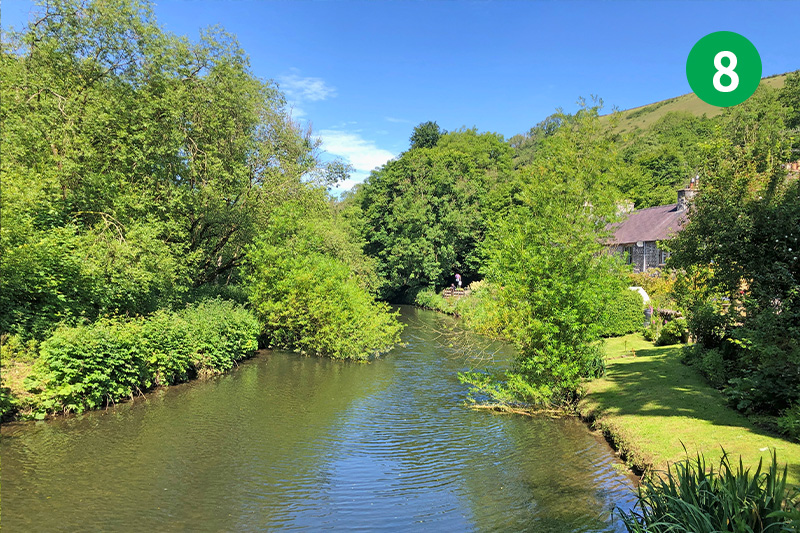
8: Follow the footpath sign to cross a small footbridge over the Wye, and head up the slope to reach the Monsal Trail. This was once a busy passenger line linking London and Manchester, and also used to carry stone and ore from local quarries (click for a brief history).
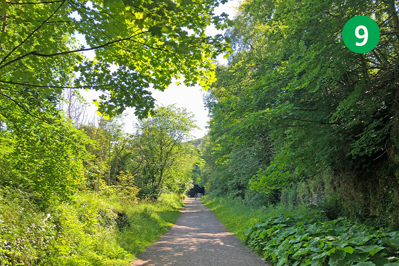
9: Turn left along the Trail, following the sign to Bakewell. The exposed rock along this section of the route, as well as two tunnels, gives some idea of the tremendous effort it must have taken to create the line, which was opened in 1867 and closed a century later in 1968.
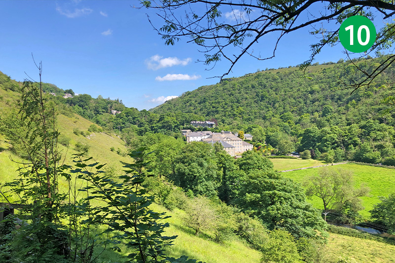
10: There are some wonderful views looking north across the river from the Trail. As you exit Cressbrook Tunnel you can see Cressbrook Mill in the valley below. Like Litton Mill, it earned a terrbile reputation for over-working and mistreating child workers – often forcibly taken from cities as far away as London (click for details).
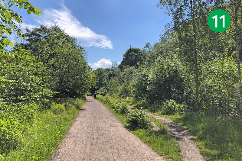
11: You soon reach the site of Monsal Dale Station – one of five along the Monsal Trail. It did take passengers, but was mainly used to transport stone and ore from local quarries (click for photos and information). Go through a gate on the right, behind the remains of a brick building, and follow the track down the slope and through a tunnel under the Trail.
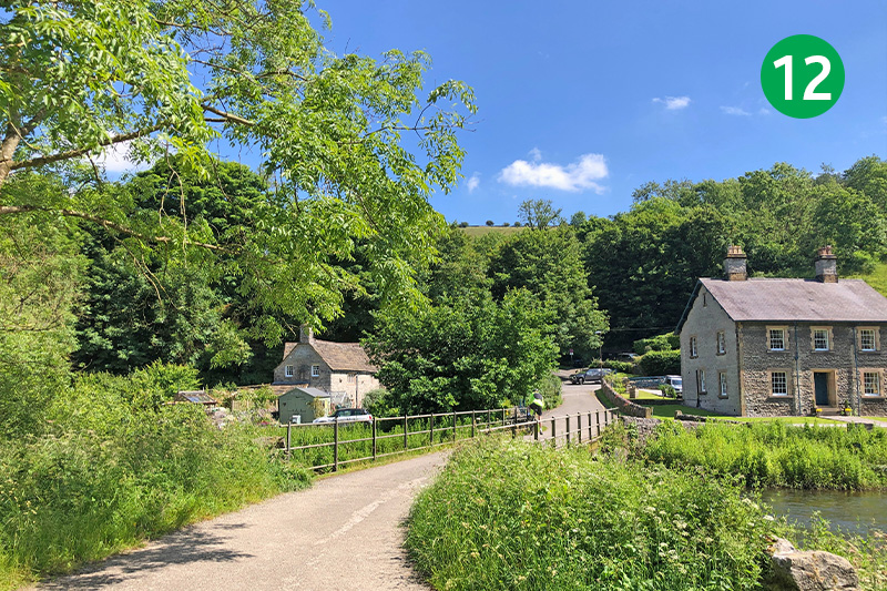
12: Cross the small bridge over the Wye to reach the hamlet of Upperdale, and turn left along the lane. There are a couple of benches a short distance further, beside the river, which make a great spot to rest awhile and take in the peaceful surroundings.
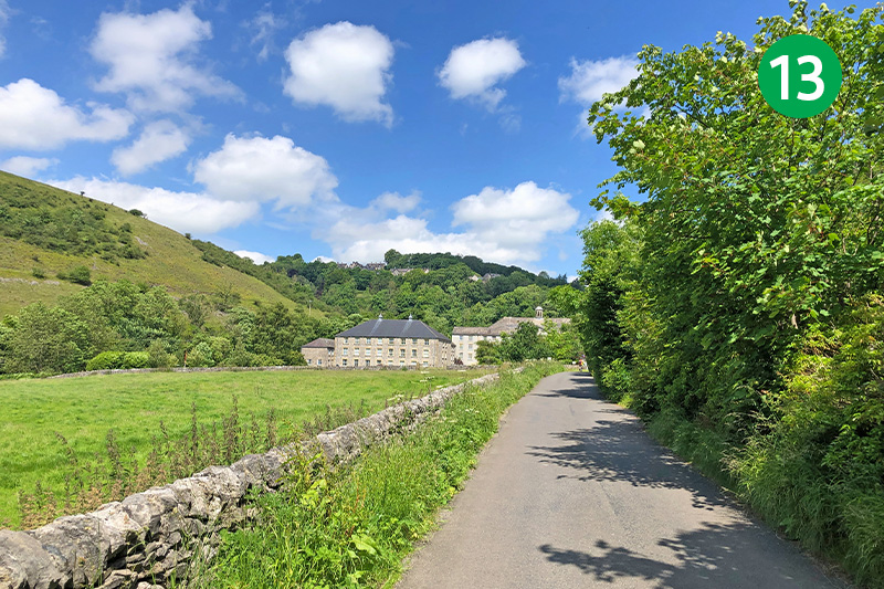
13: Continue along the lane past Cressbrook Mill. The first mill was built by Richard Arkright – known as the father of the Industrial Revolution – in 1783 but was destroyed by fire just two years later. The rebuilt mill finally closed in 1965 and was converted into appartments in 2000.
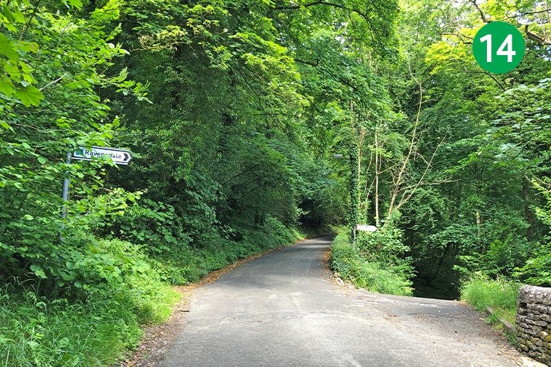
14: The road divides just past the mill. Take the one on the right, signposted Cressbrook and Litton. After some distance, take the lane which slopes down on the right, signposted Ravensdale.
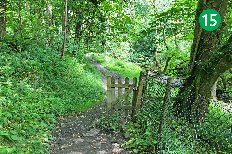
15: You eventually pass the hamlet of Ravensdale on the right, with the high outcrop of rock where ravens nest providing a dramatic backdrop. Stay on the obvious path as it narrows and enters into the trees of Cressbrook Dale.
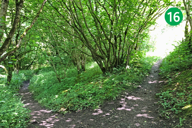
16: The path divides soon after crossing a small footbridge, offering a choice of routes. This walk follows the path on the right which climbs a steady slope. But you could stay on the path to the left which follows the stream (which is usually dry in summer). This is quite rocky but avoids the climb, exiting through a small gate into the valley.
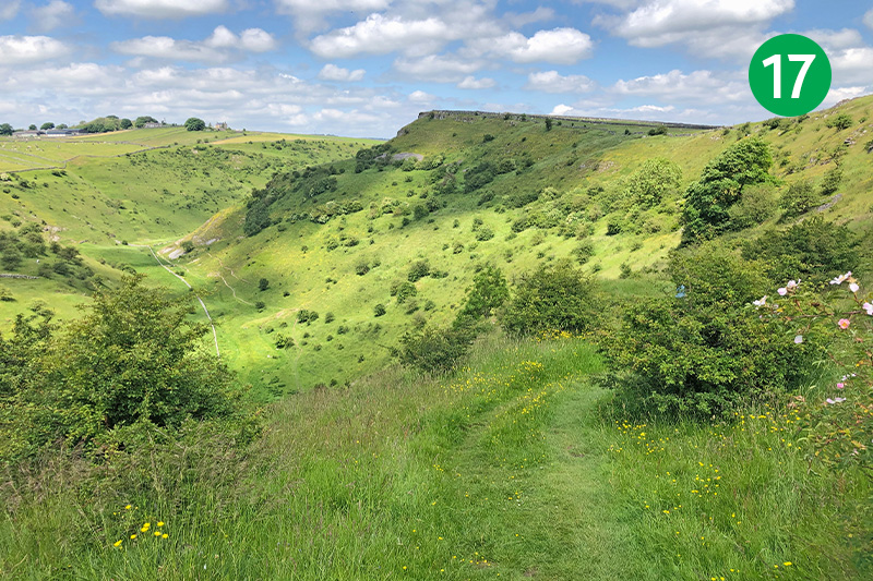
17: From the right hand path, follow it up the slope to enjoy some wonderful views when you finally exit the trees. From here, take the narrow path which slopes gently down into the valley. There are some irregular steps along here, so some care is needed.
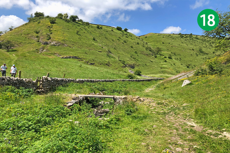
18: The track along the valley floor can get water-logged in winter, but it’s usually easy to keep to a higher path. A small footbridge on the left is a shortcut leading up the other side of the valley to point 23. But to continue this route, simply head in the same direction along the valley.
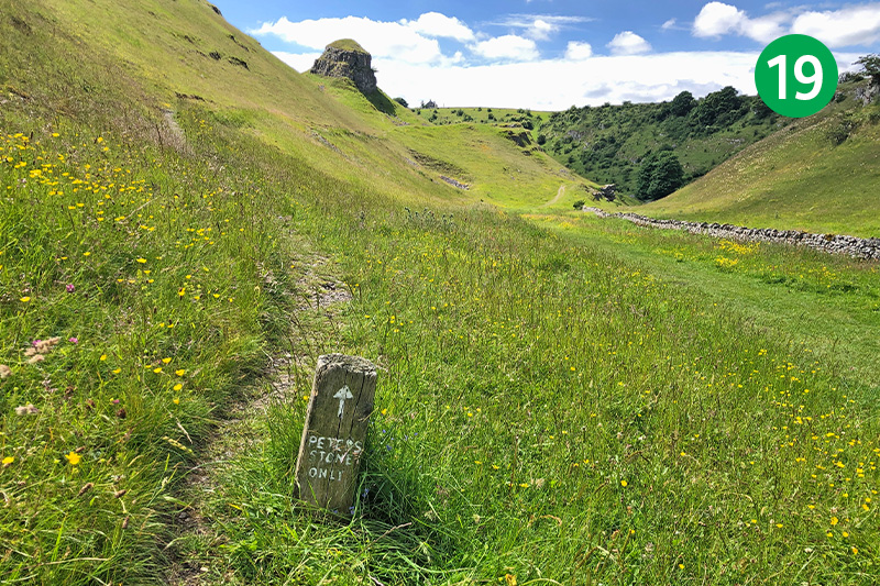
19: You pass Peter’s Stone on your right, but it’s easy to miss as you only notice it when looking back along the path. It was also known as Gibbet Rock – a place where the remains of exectuted criminals were hung to rot as a warning to others (click for details). To visit the rock, simply follow the small sign beside the path.
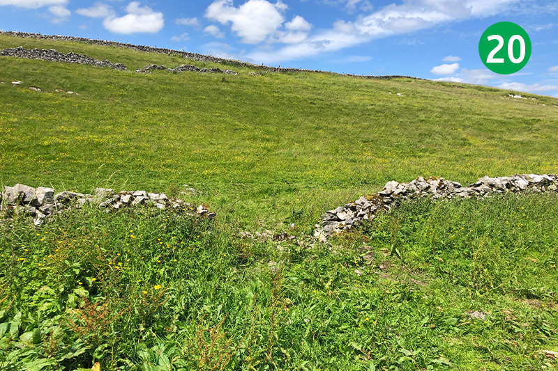
20: Continue along the valley, with the stone wall on your left, and look out for an easy-to-miss path that slopes up from the left, between a gap in the wall. If you do struggle to find it, simply head up the side of the valley, and then keep to the left of the next stone wall to reach point 21 below.
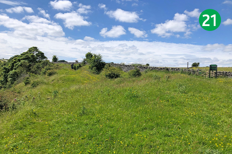
21: At the top of the slope you reach a small gate leading to the road into Litton. A shortcut is simply to follow the road to the left into Litton. But keeping inside the wall, and following the narrow path as it snake around the top of the valley provides some wonderful views, and avoids walking on tarmac.
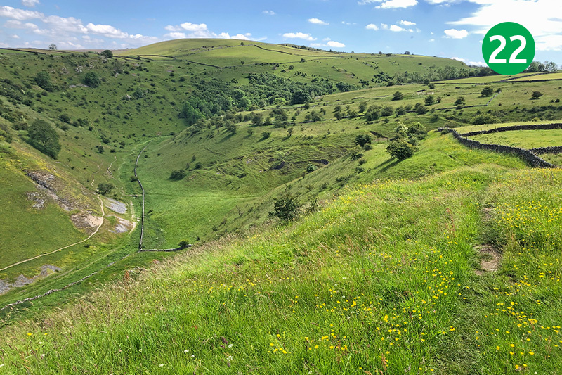
22: Follow the narrow path along the top of the valley as it snakes around the edge of fields, keeping the stone wall on your right, eventually passing a dew pond on your right and the remains of a stone building on the left.
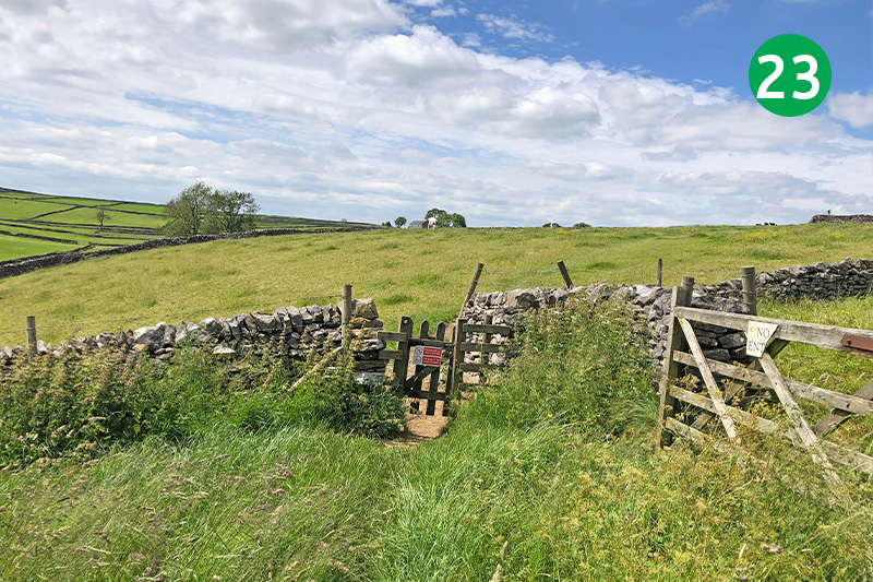
23: You eventually exit the path through a small wooden gate. Follow the obvious track around to the right. (If you took the shortcut across the footbridge at point 18, you eventually reach this small gate.) Climb some stone steps over the stone wall at the far end of this field, turning left along a farm track.
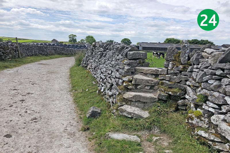
24: The route goes over another set of steps a short distance further along the track on the right, and then diagonally across this field to the far left corner. (There are often cows in this fields, so you may prefer to simply follow the track around the field to reach the same point.)
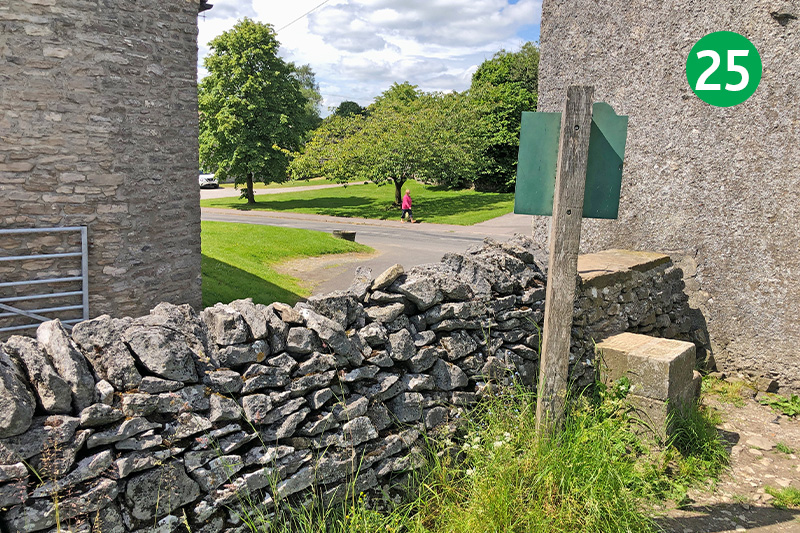
25: Cross the stile and turn right to reach the main road, turning left to return to Litton village. wards the village into Litton. The small village shop on the left serves drinks and snacks and has some outside benches. The Red Lion is always a popular pub, with benches and tables on the nearby village green.

