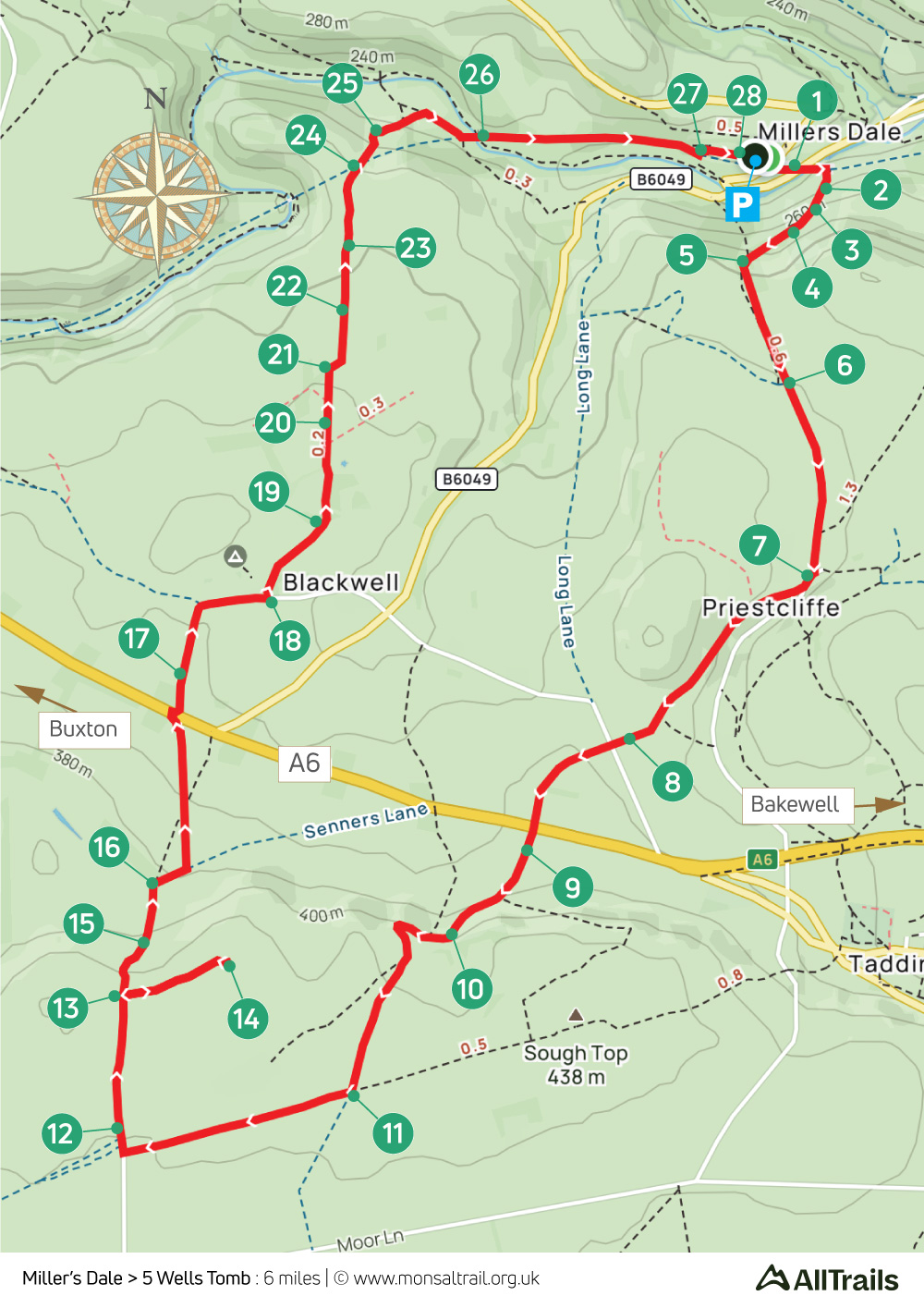
9. Miller’s Dale > 5 Wells Tomb
Walk distance: 6 miles | Date recorded: April 2024
Start point: Miller’s Dale Station carpark | Google Map
GPX file: Just £1.50 | Download file
Walk description
Setting off from Miller’s Dale carpark, this fairly easy walk of just under six miles passes through Priestcliffe to join the Limestone Way before crossing the A6 to head up a gentle slope to reach one of my favourite historical spots in the Peak District.
Getting its name from five wells which surround the nearby village of Taddington, this chambered cairn is said to be Britain’s highest megalithic tomb. With wonderful panoramic views, it’s easy to understand why our ancient ancestors chose this spot to bury their honoured dead.
There’s a cafe and toilets at Miller’s Dale, as well the camp site at Blackwell. And the popular Anglers Rest pub is close to the starting point.
A ‘Relive’ version of the walk. Click to play and use the expand option to view in full-screen. Click here for more Monsal Trail ‘Relives’.
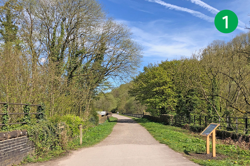
1: From Miller’s Dale carpark, simply go past the old waiting room – which is now a cafe and toilets – and head left along the trail, crossing one of the twin viaducts which once took steam trains between Manchester and London. Follow a footpath sign on the right, just beyond the end of the viaduct, up some steps.
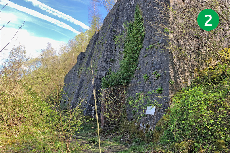
2: The steps lead up to one of two large lime kilns built either side of the station. Climb another set of steps to the right of the kiln to reach a viewing platform, and then go through a gate just behind, following the sign up the slope to the right.
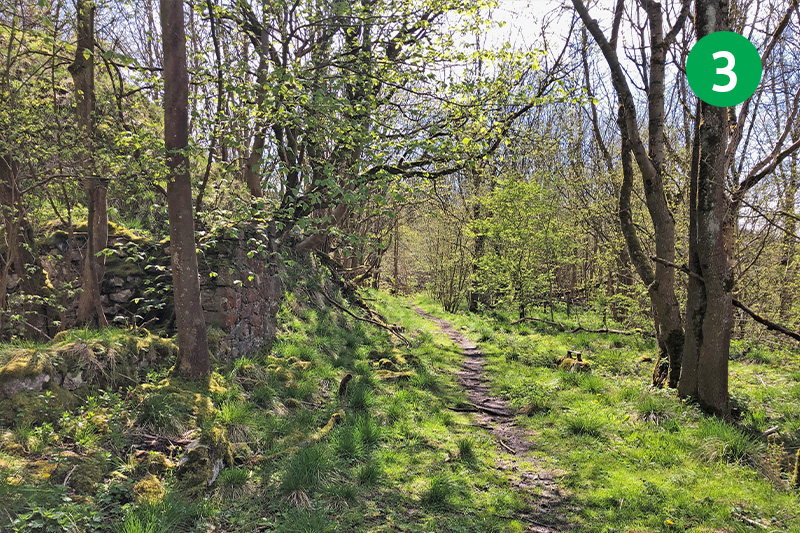
3: Follow the path to the right when you reach the top of the slope, and walk for some distance along this narrow path, passing the remains of a stone quarry on your left.
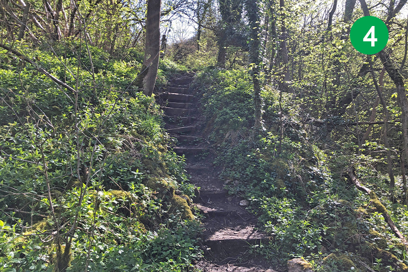
4: Look out for a series of rough steps on your left, at a junction of paths. Climb these and follow the narrow path up the slope.
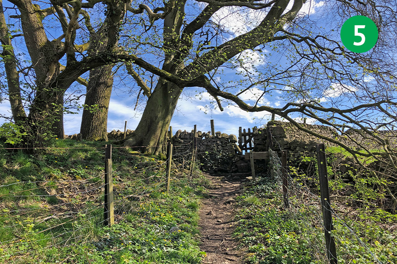
5: You eventualy exit through a small wooden gate. Follow the direction arrow across the field, going through another gate beside a tree. Keep in the same direction through a wide gap in a stone wall, until you reach a gate leading onto a farm track.
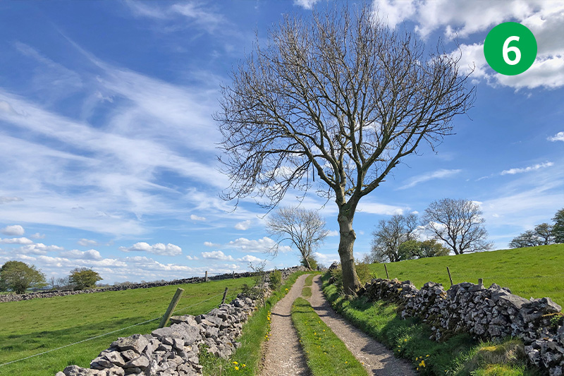
6: Turn left along this attractive track between stone walls, following it for some distance until you exit just past some farm buildings.
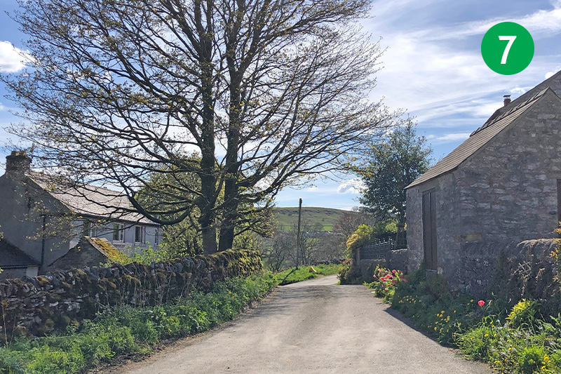
7: Turn right along the lane, passing through the small village of Priestcliffe, and follow it around to the right, ignoring a narrow road on the left.
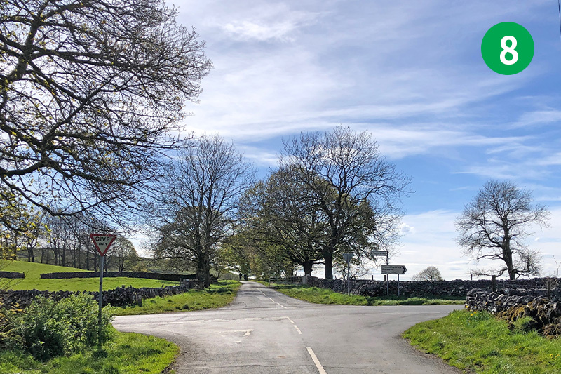
8: Keep straight ahead when you reach a cross roads. You’re now on the Limestone Way – a 46-mile route across the White Peak from Castleton to Rocester which sits beside the River Dove in Staffordhire.
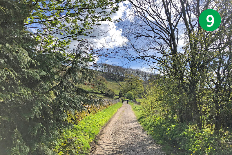
9: A short distance further you reach the busy A6 between Buxton and Bakewell. Take care when crossing as cars can come along at some speed. Keep straight ahead, following the track to the left of the Waterloo pub.
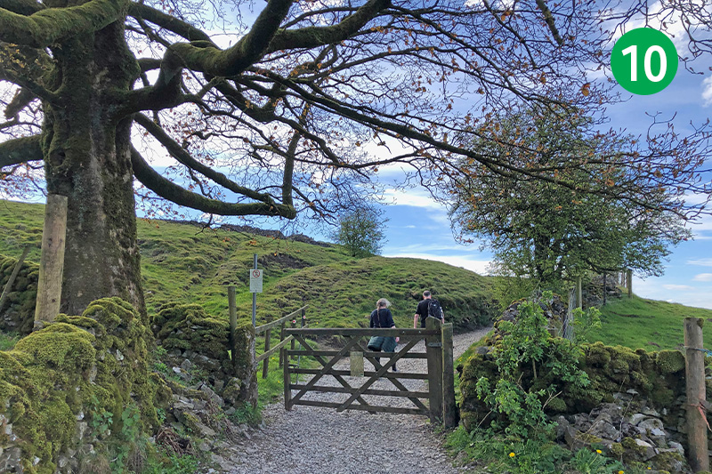
10: Follow this track for some distance as it snakes up the slope. You can take the first footpath sign on the right, following the direction arrow diagonally left across the field and passing between farm buildings to reach point 12. But I prefer to stay on the track for a short distance further.
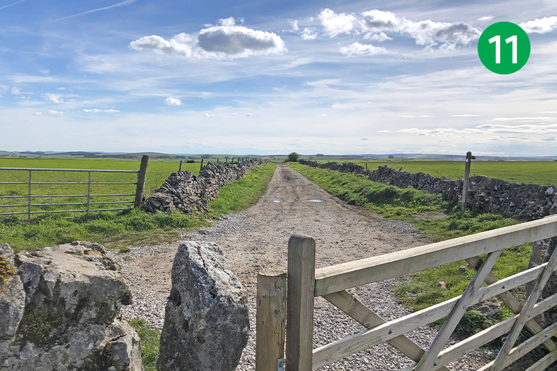
11: Go through one farm gate and then follow another footpath sign on the right, just beyond a second gate. Cross a number of field stiles with the wall on your right, and keep in the same direction over a larger field to eventually exit over another stile onto a minor road.
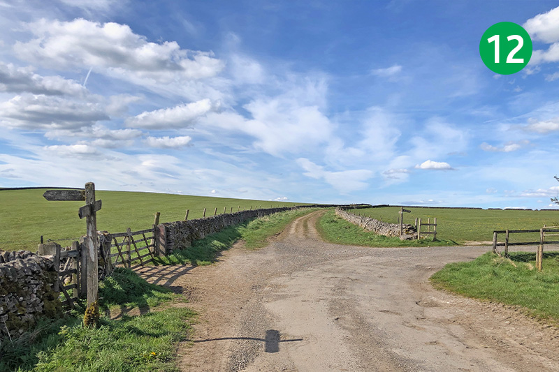
12: Turn right along the lane and stay in the same direction as it becomes more of a farm track. The footpath signs on your left will take you down to Chelmorton where there’s a very fine pub – the Church Inn. The lane from the right is where you’d come out if you followed the first footpath sign through the farm buildings.
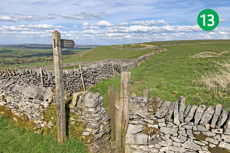
13: Continue along the farm track until you come to a footpath sign on the right marked to Five Wells Chambered Tomb. Go through the stile, following the direction of the sign. Pass through a small gate and head slightly up the slope to reach another gate in the stone wall. You will soon see the stone remains of this ancient tomb.
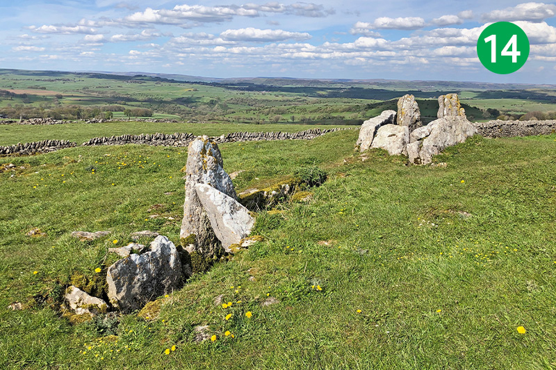
14: With panoramic views across the surrounding coutryside, this late Bronze Age tomb with two chambers set back-to-back was first excavated in 1846. The remains of some 17 bodies were discovered, along with pottery, flint arrowheads and a flint knife. The stones were originally covered with an earth mound some 15m across with entrances at both ends.
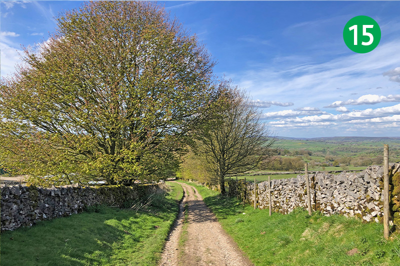
15: Return along the same paths to the farm track, turning right to follow it as it winds down the slope.
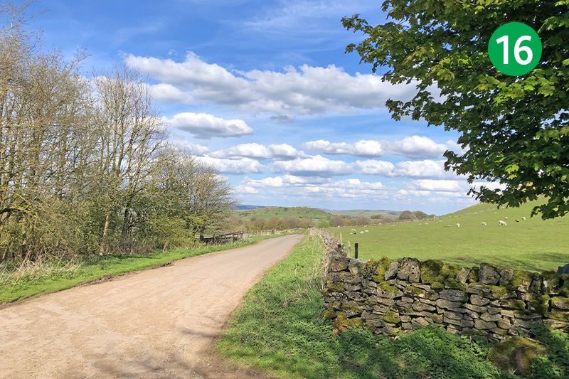
16: Exit through a metal gate and turn right along the lane. There is a footpath sign a short distance along on the left which you can follow diagonally right across the field. But when I tried it there was a lot of dog mess, so I followed the lane to the next junction and turned left.
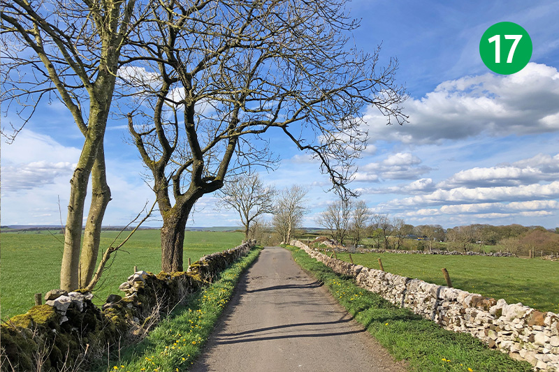
17: Go to the end of the lane and cross the busy A6 straight ahead, following it around to the right to pass Beech Croft Campsite on the left. There is a public cafe on the site serving drinks, ice creams and snacks, but it’s not always open.
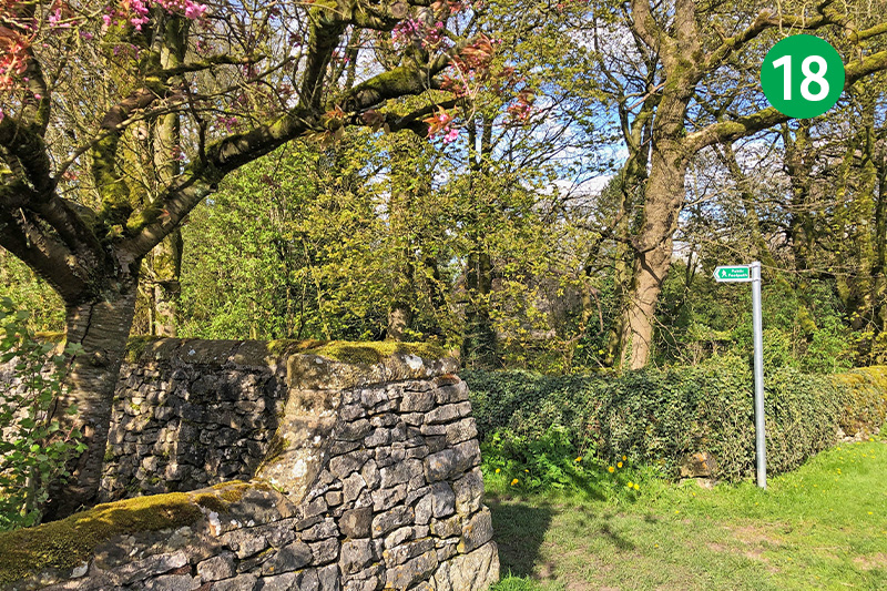
18: Follow the lane through the hamlet of Blackwell and take first footpath sign on your left, climbing a stile beside a farm gate and crossing the field diagonally right to another small gate in the stone wall.
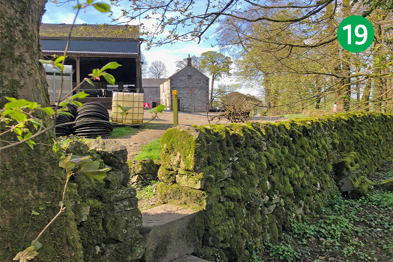
19: Keep in the same direction across the fields, following footpath arrows beside a number of small gates to eventually exit over a stone stile to reach a farm yard. Follow the direction of arrow post to cross the yard and head along a wide farm track.
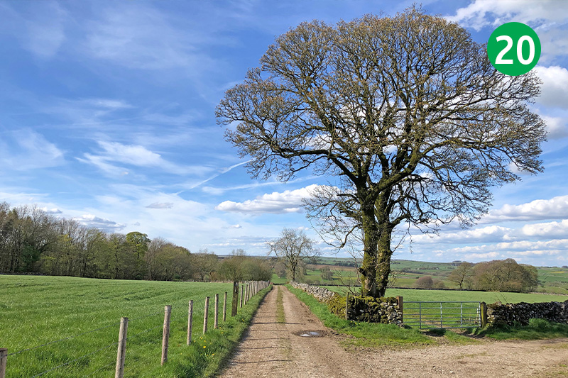
20: Keep on this attractive track for some distance, ignoring paths to the right and left until you reach the end.
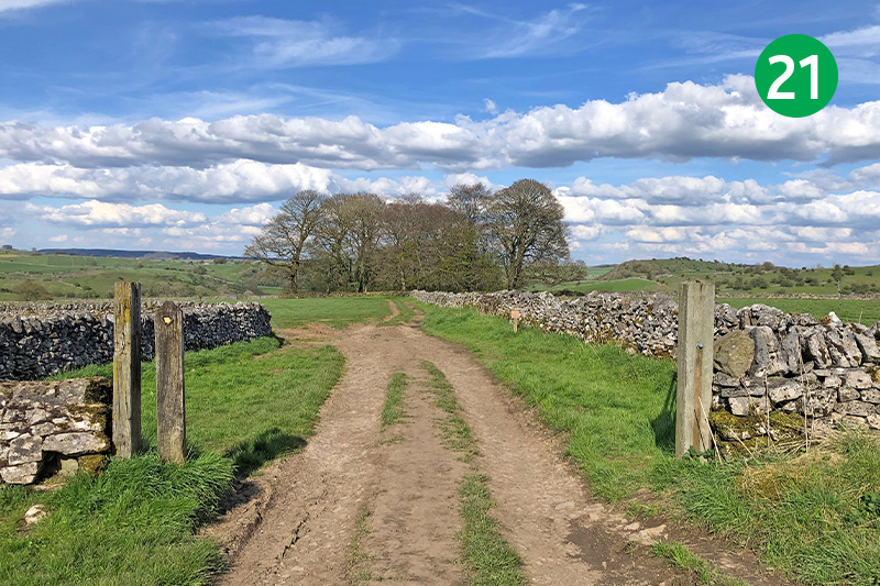
21: Turn right between the gateposts, and then left, following the edge of the field with the stone wall on your left. As you near the end of this large field, head diagonally right towards a small gate in the stone wall opposite.
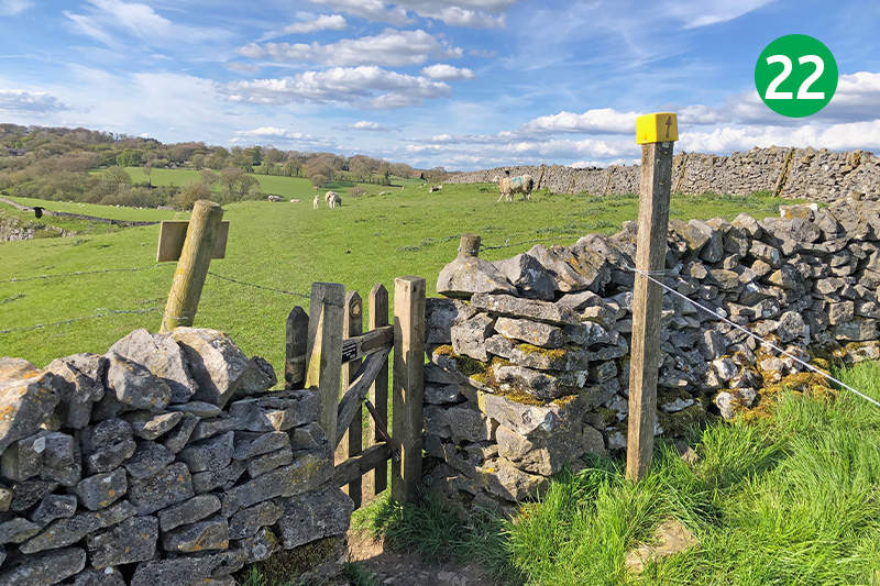
22: Follow a series of footpath arrows to the right across this large field, keeping in the same direction with the stone wall on your right.
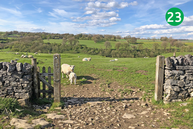
23: Go through a gate, keeping in the same direction down the slope.
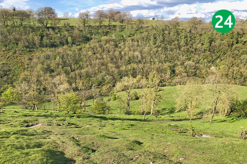
24: There’s no obvious path as the slope gets steeper, so find the least difficult route as you head for the far right corner. The River Wye soon comes into view, flowing through the valley.
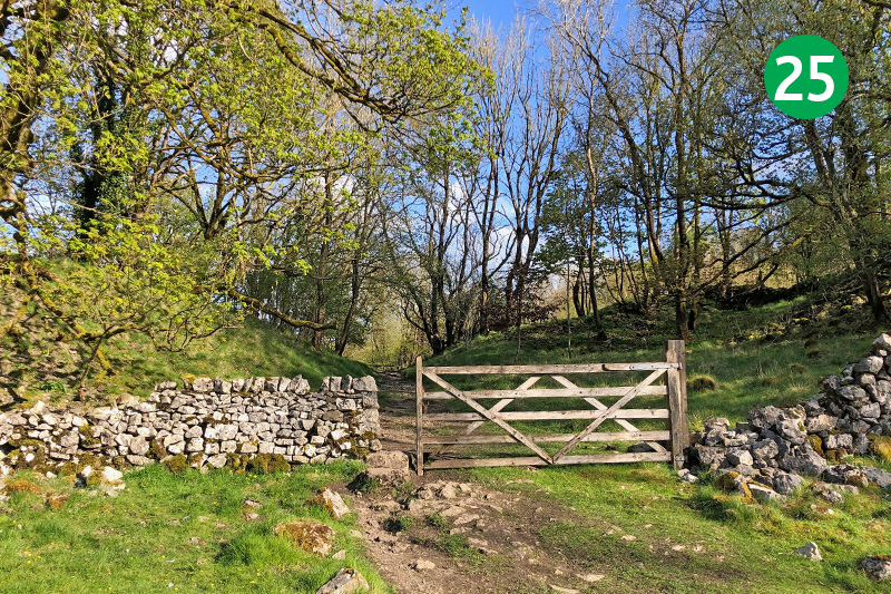
25: Follow the path around to the right as you near the bottom of the slope, going through a stile beside a wide farm gate. And then another gate to reach the Monsal Trail.
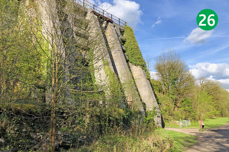
26: Turn left along the trail, crossing a viaduct where you can often see groups of school children abseiling down to the the river path below. You soon pass the impressive remains of a lime kiln on the left. An information board explains that they were in use from 1880 to 1944, producing over 50 tons of quicklime a day which would have been transported along the rail line.
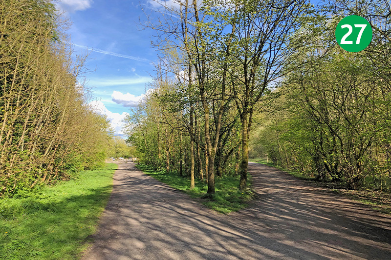
27: The track divides as you approach Miller’s Dale Station. The one on the left takes you back to the carpark. The one on the right brings you to the cafe and toilets. To visit the Anglers Rest pub, simply continue over the viaduct and follow the sign on the left down the slope, turning right when you cross the river.
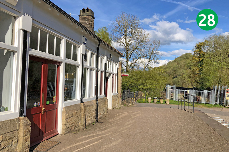
28: An information board by the old station explains that this was once the busiest and largest stop on Midland Railway’s line. Which seems bizarre given its remote location. Click here to learn more about the history of the station, and here for information on the railway line.

