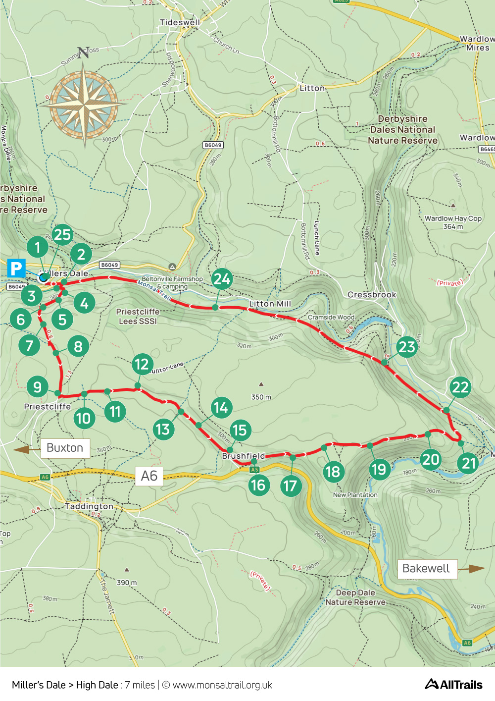
6. Miller’s Dale > High Dale
Walk distance: 7 miles | Date recorded: August 2024
Start point: Miller’s Dale Station | Google Map
GPX file: Just £1.50 | Download file
Walk description
At just under seven miles, this walk from Miller’s Dale Station crosses a mix of narrow paths, open fields and farm tracks to reach the quiet and picturesque valley of High Dale, and then the small hamlet of Brushfield, before returning along the Monsal Trail.
There’s a cafe and toilets at Miller’s Dale Station, as well as a newly-opened exhibition centre explaining the history of both the railway line and the station, which was once the busiest on Midland Railway’s network.
Another option is the Anglers Rest pub in Miller’s Dale, which is just a short distance from the route (from point 24), serving a good selection of snacks, meals and drinks, with outside tables and benches beside the river.
A ‘Relive’ version of the walk. Click to play and use the expand option to view in full-screen. Click here for more Monsal Trail ‘Relives’.
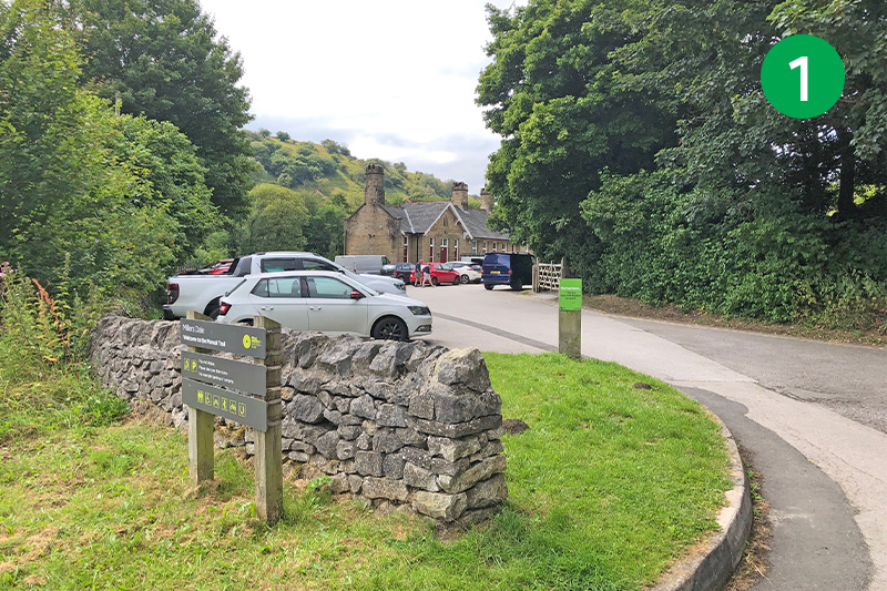
1: From the carpark, go past the station buildings and turn left along the trail. It’s hard to imagine, but this was once the busiest station on Midland Railway’s network, with passengers changing for Buxton, Manchester and all stations south to London St Pancras (click for details).
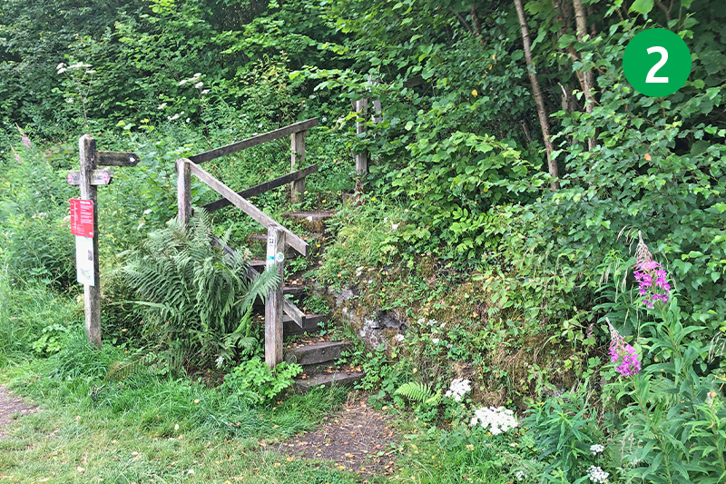
2: Follow the footpath sign on the right, just beyond the end of the viaduct, up some steps towards the lime kilns.
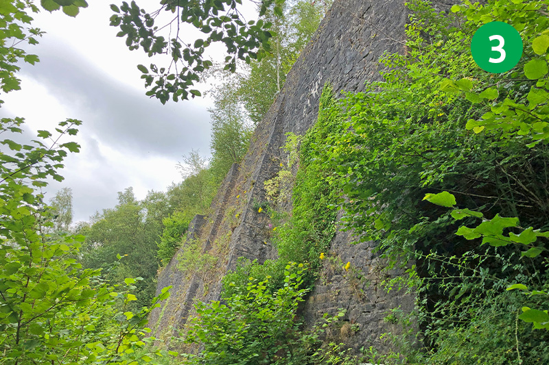
3: An information plate explains that they date back to 1878 and were sited next to the station to enable lime to be taken by freight to a range of fast-expaning Victorian industries. They closed in 1930 after the rock face started to slide.
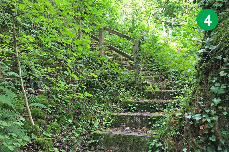
4: Climb the steps to the right of the kilns. These take you to a platform above the kilns where you can enjoy wonderful views across the valley (when there are no leaves on the trees). Go though a gate behind the platform, turning right up the narrow path.
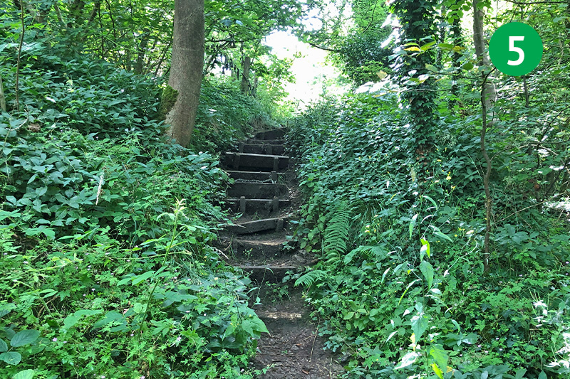
5: Follow this path for some distance, passing the large quarry on your left which is now an important nature reserve, and climb the next set of steps on your left.
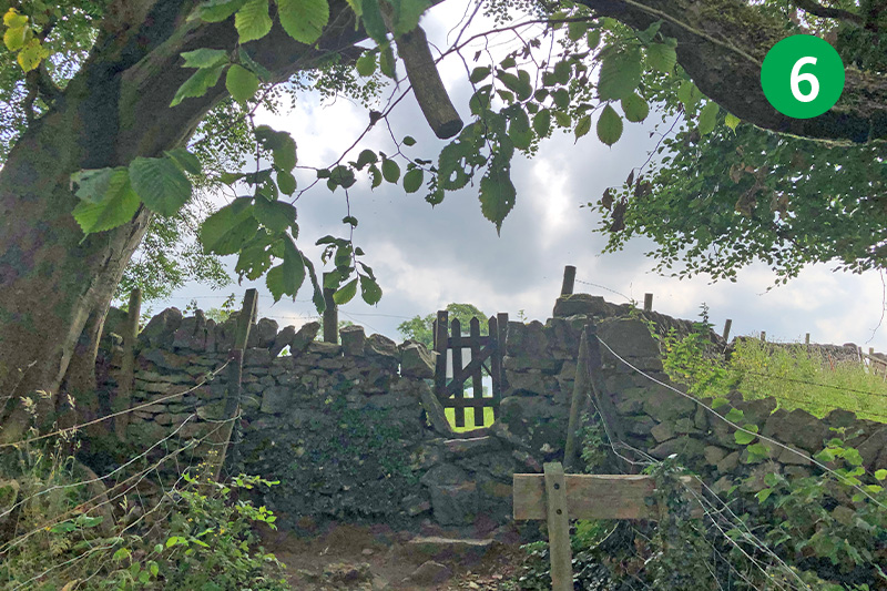
6: Follow this narrow and rocky path up the slope until you can exit through a small wooden gate at the top.
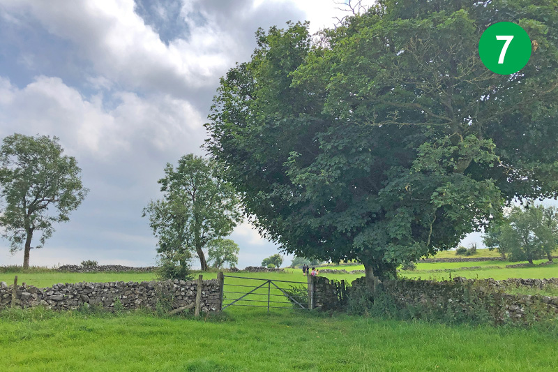
7: Cross the large field, heading slightly left towards a gate beside a tree in the distance. Keep in the same direction through a gap in the stone wall and a number of stiles until you reach a farm track.
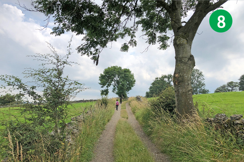
8: Turn left and follow the track for some distance until you reach the road, just past some farm buildings. This is the outskirts of Priestcliffe. (Turning right would take you towards Taddington, on the other side of the A6.)
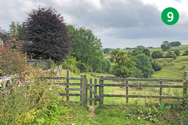
9: Turn left at the road, and then immediately right, following the footpath sign to the side of the house. Pass through a small gate and head down the attractive track. Keep in the same direction when you get to a junction of paths.
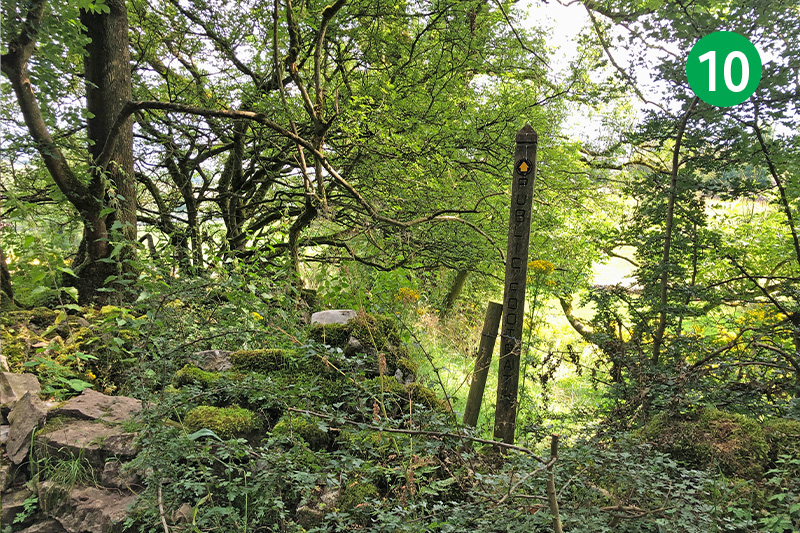
10: Look out for a well-hidden stile in the stone wall on the right, next to a footpath sign. Through here and follow the direction arrow slightly left, through a gap in the stone wall. Keep in the same direction across another field with a stile in the far right corner.
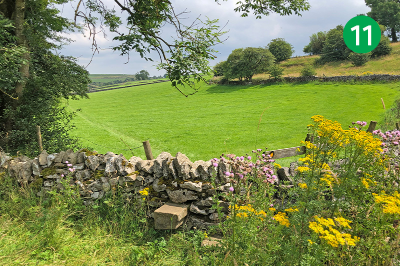
11: Cross a number of fields and stiles in the same direction, following the orange footpath arrows.
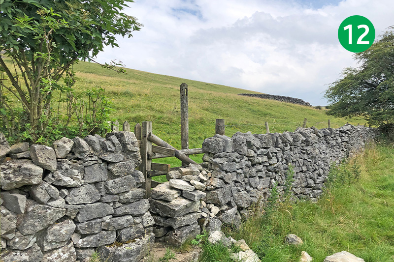
12: Eventually you come to a taller stile in a stone wall. Cross here and turn right, keeping along the path nearest the wall as it slopes gently down.
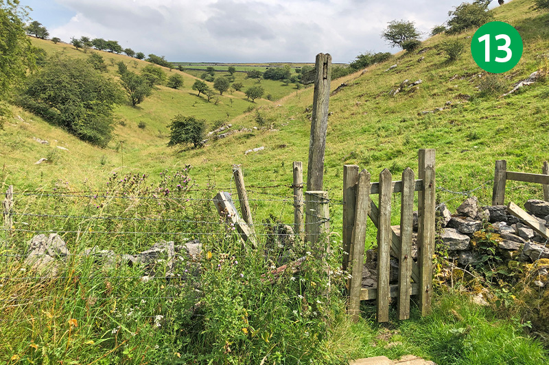
13: Go through a small gate in the far right corner of the field to enter High Dale.
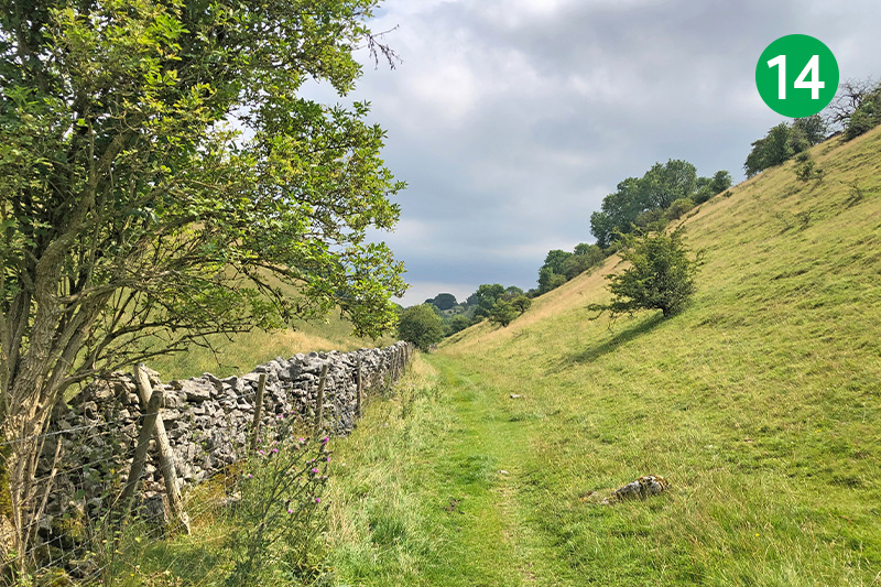
14: Follow the obvious path through this picturesque dale, avoiding any tracks leading up the slope to your right.
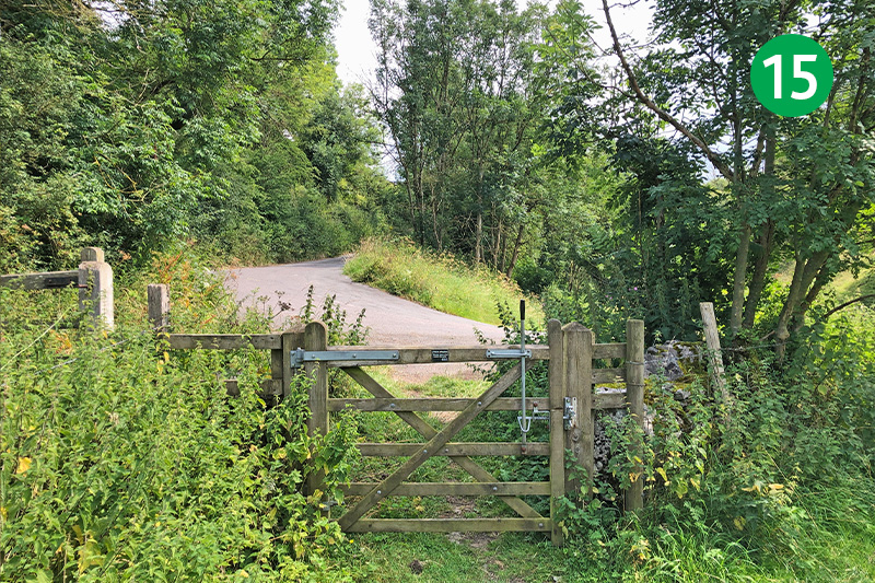
15: After some distance you reach a small gate beside a lane. Turn left up the narrow lane. (Turning right would take you to the A6.)
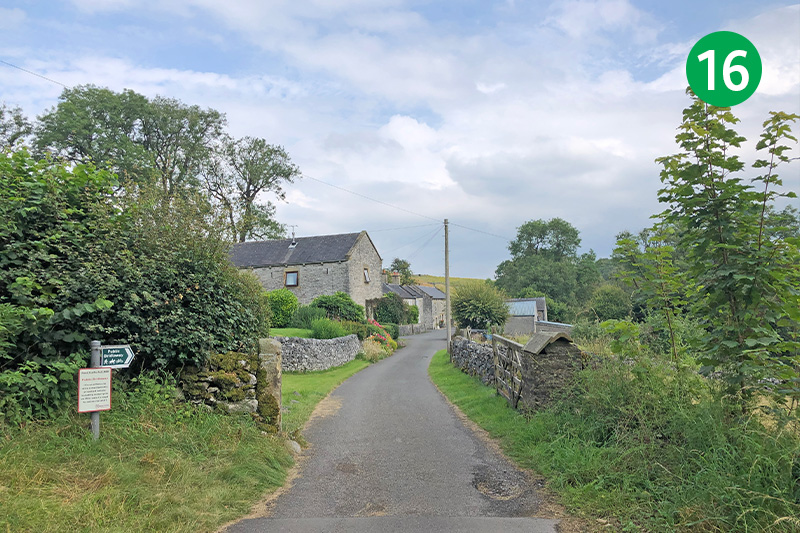
16: You soon reach the small hamlet of Brushfield. Follow the footpath signs which lead between the buildings, exiting through a couple of field gates onto a farm track.
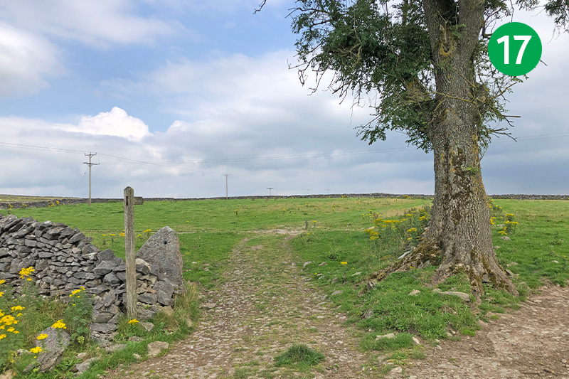
17: Keep on the track until you come to a junction of paths either side of a tree. Take the left hand track, following the footpath sign to Upperdale
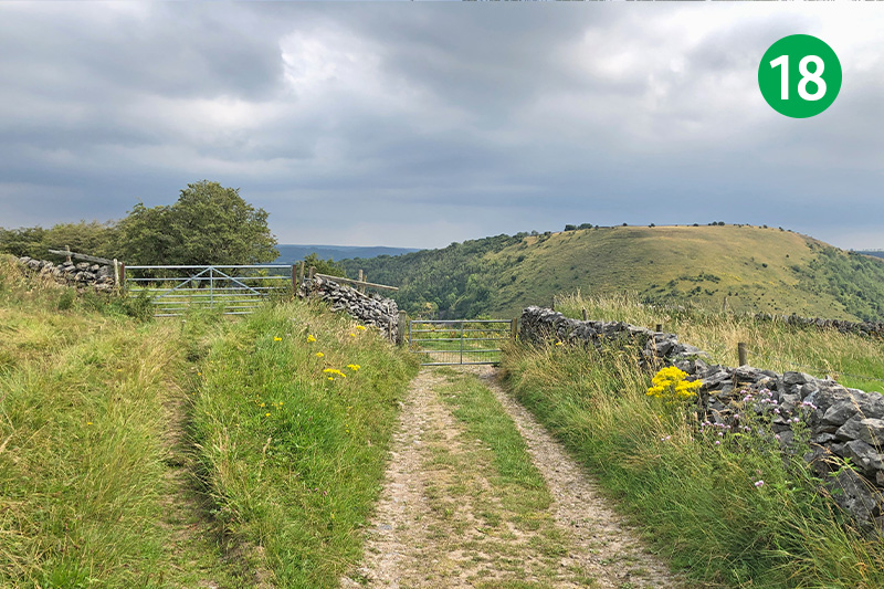
18: Keep in the same direction, ignoring any signs to the right (this would take you to White Lodge carpark on the A6). When you come to a pair of farm gates, go through the one on the right.
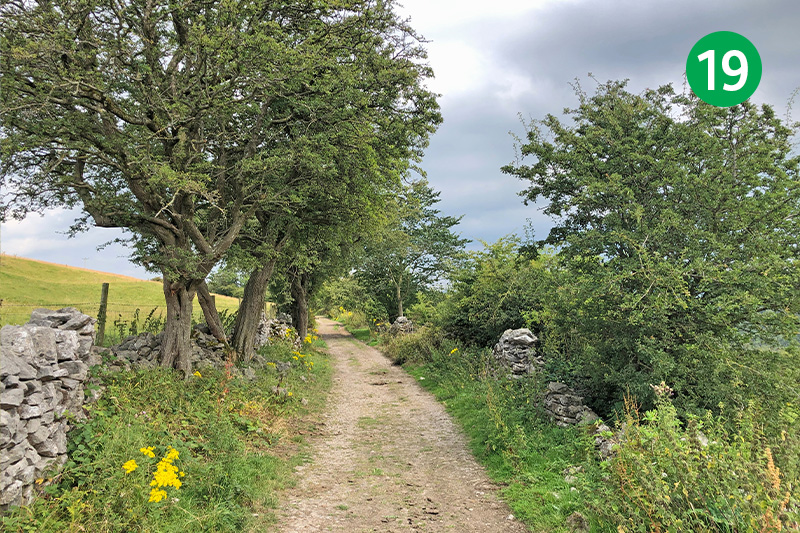
19: Keep on this attractive path between stone walls for some distance. It’s just possible to make out the ramparts of Fin Cop Iron Age Fort across to your right, high above the other side of Monsal Dale, with the River Wye running through the valley floor.
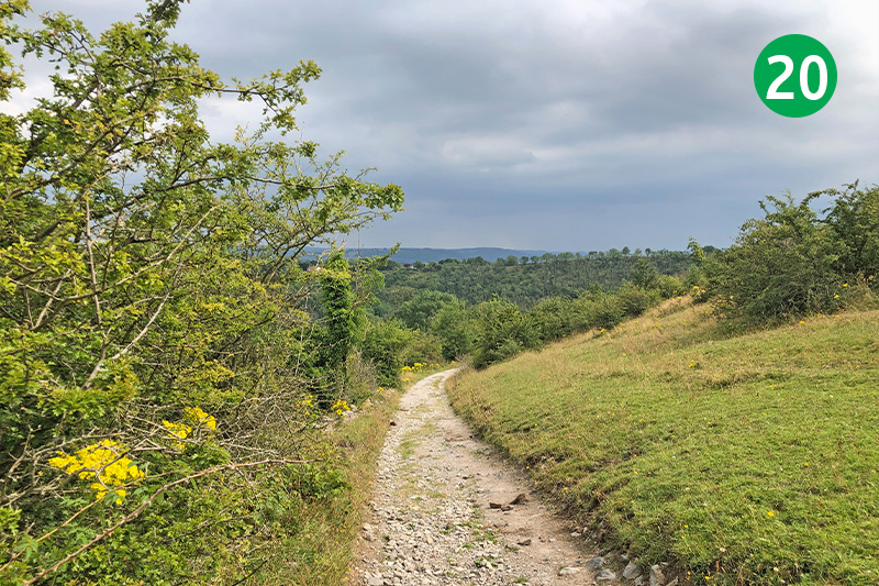
20: Keep in the same direction as the track winds down the slope. You should soon see Monsal Head with its hotel and cafe buildings in the far distance.
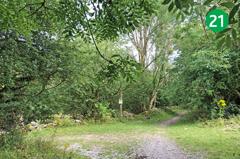
21: Keep on the track until you reach a junction of paths. Both lead down to the Monsal Trail. Take the left track, passing through a gate after a short distance, and follow it down the slope.
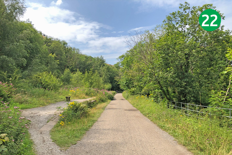
22: Turn right just before the tunnel to reach the Trail, passing a derelict brick building, and turn left along it. A short distance further and you come to all that remains of Monsal Dale Station; one of six along the trail that once served passengers and freight on a line extending from London to Manchester (click for photos and details).
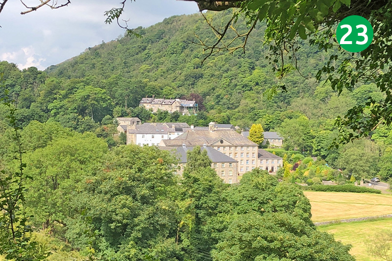
23: You now follow the Monsal Trail all the way back to the carpark at Miller’s Dale. But look out for Cressbrook Mill beside the River Wye in the valley to your right. Like nearby Litton Mill, this has been converted to appartments, but both earned a brutal reputation for exploiting and ill-treating child workers in the 19th century.
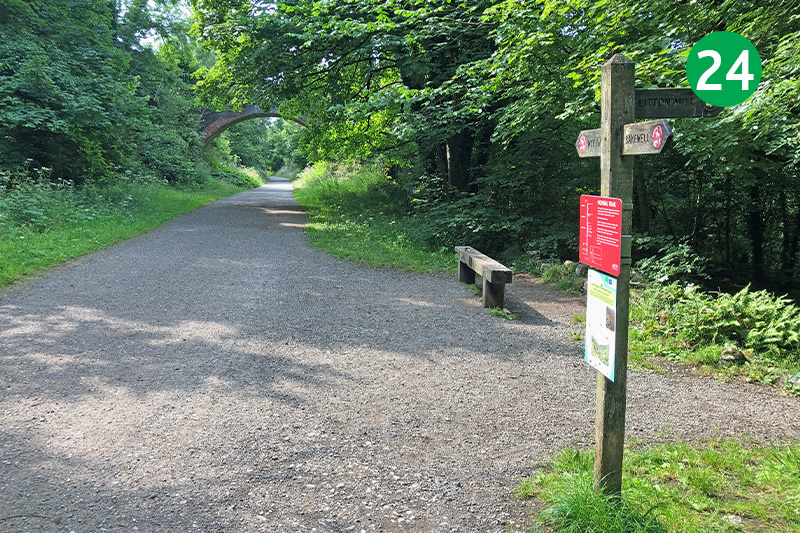
24: As you near the car park there’s a signpost on the right towards Miller’s Dale. (The Anglers Rest pub is well worth a visit with a good range of food and drinks, as well as benches and table beside the river.)
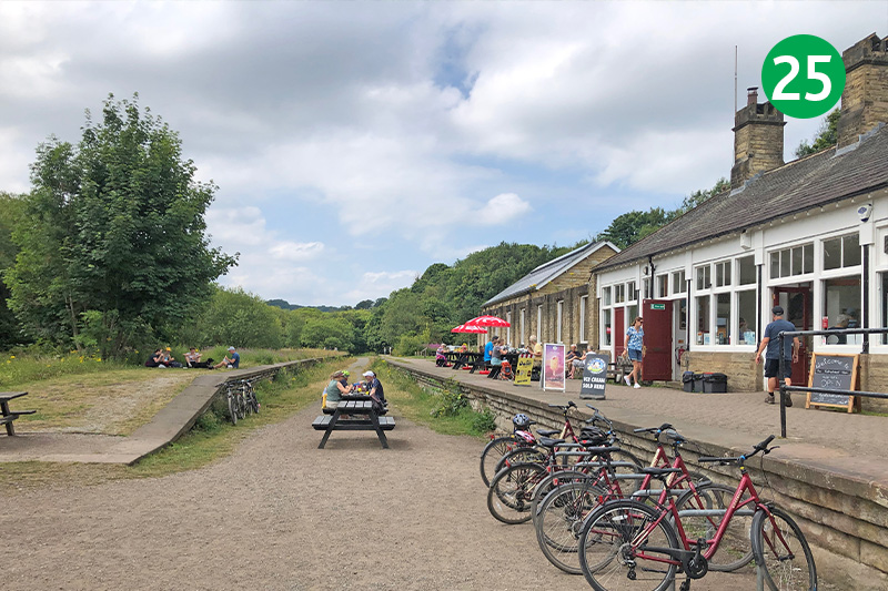
25: The cafe at Miller’s Dale carpark serves a small range of snacks and drinks. There’s also an interesting exhibition in one of the nearby buildings explaining the history of the station and the line. (Click here for more on Miller’s Dale Station.)

