Miller’s Dale > Brushfield
Walk distance: 5 miles | Date recorded: 29 July 2024
Start point: Miller’s Dale Station | Google Map
Map app: View on OutdoorActive | Contact me for GPX file
Walk description
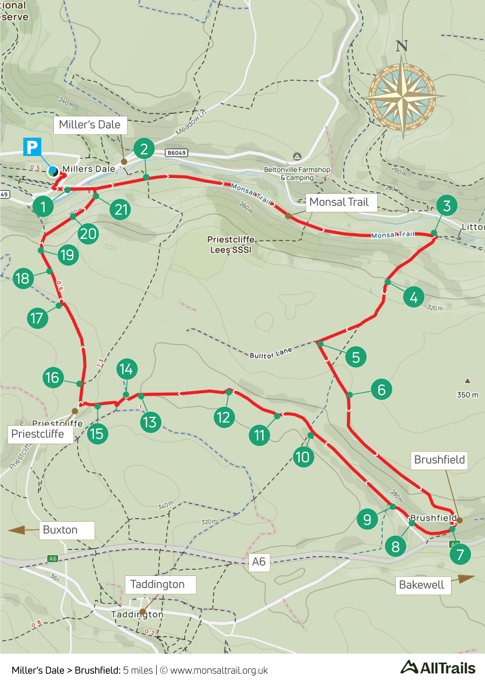
From the carpark at Miller’s Dale Station, this walk of just over five miles heads east along the Monsal Trail for about a mile before turning south, up a fairly long and steepish slope. But once you’ve reached the summit, it’s downhill nearly all the way.
The route goes along a mix of attractive field paths and ancient trackways to reach the hamlet of Brushfield, before returning along picturesque High Dale towards the outskirts of Priestcliffe, and then back to the starting point.
Miller’s Dale Station serves a range of snacks, drinks and ice creams. There’s also a newly-opened exhibition on the history of the railway. And the nearby Anglers Rest pub beside the River Wye is always worth a visit.
A ‘Relive’ version of the walk. Click to play and use the expand option to view in full-screen. Click here for more Monsal Trail ‘Relives’.
Click map to expand in a new browser tab.
Click here to open an A4 printable pdf of map.
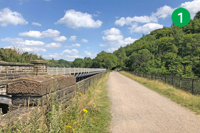
1: From Miller’s Dale carpark, go past the station buildings and turn left along the Monsal Trail, crossing one of the two viaducts that once carried trains between Manchester and London St Pancras. (Click for information and old photos of the station.)
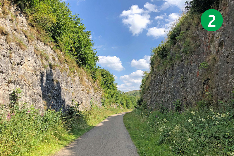
2: This section of the Trail passes through two large cuttings where rock was blasted away to reveal some interesting geological history. An information board by the second cutting explains that the rocks were laid some 350 milion years ago when much of Britain was covered by a shallow tropical sea.
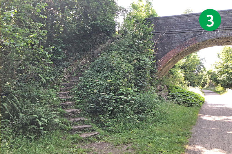
3: Eventually you reach a bridge over the Trail. Go under it and then immediately right, up some steps, turning left into Priestcliffe Lees Nature Reserve. Follow the narrow path up the slope (this is the hardest part of the walk), passing through a small gate and keeping to the right.
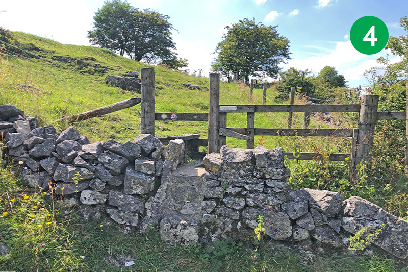
4: Look out for a stile on the right. Go through here and follow the direction arrow up the slope to the left. The path soon widens as it winds around to the right, past some old surface mine workings.
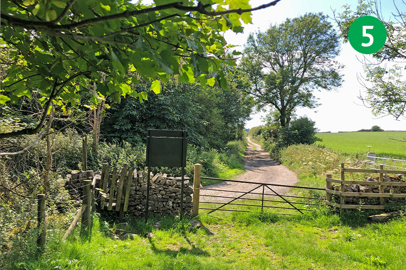
5: Exit the path through a small gate and turn left along the picturesque farm track.
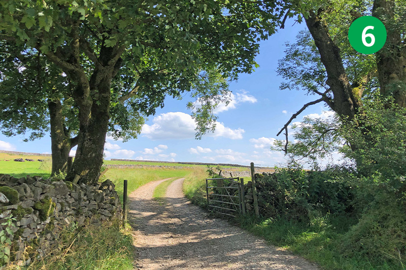
6: Follow this track for some distance, with High Dale in the valley to your right, eventually passing some large farm buldings on your right.
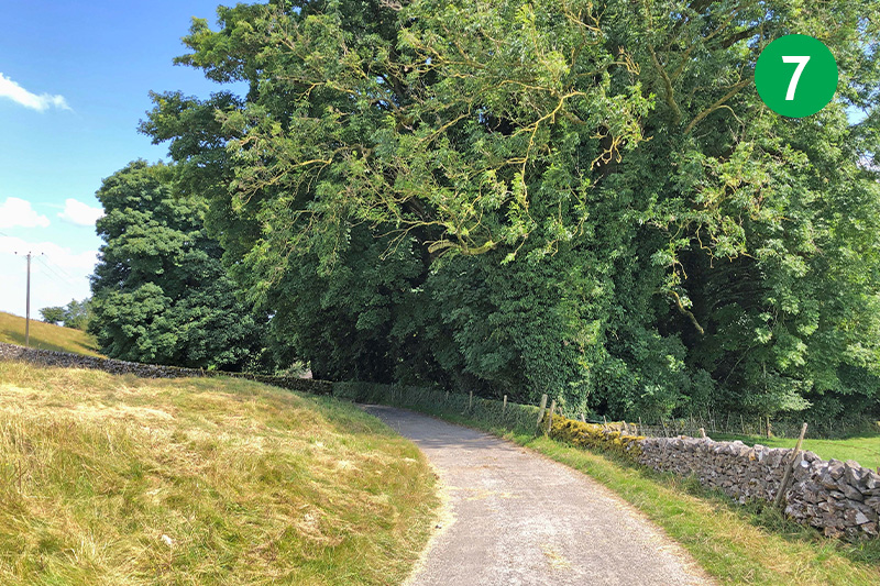
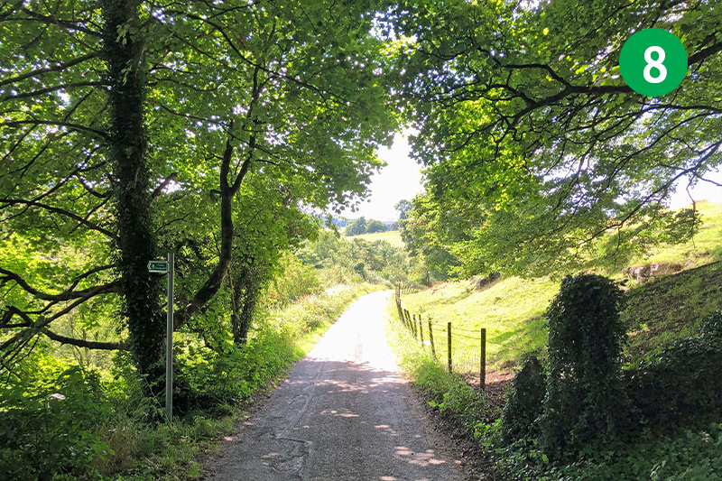
8: Follow the lane as it winds around to the right, down the slope.
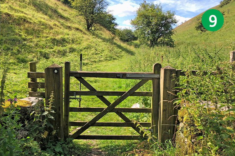
9: Go through a gate on the right, just as the road turns sharply to the lef. (Continuing along the road leads to the A6.)
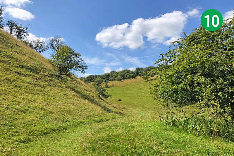
10: This attractive footpath leads along High Dale; one of the quietest and most picturesque valleys in the White Peak. It widens out as it nears the end – simply follow it around to the left to reach a small gate.
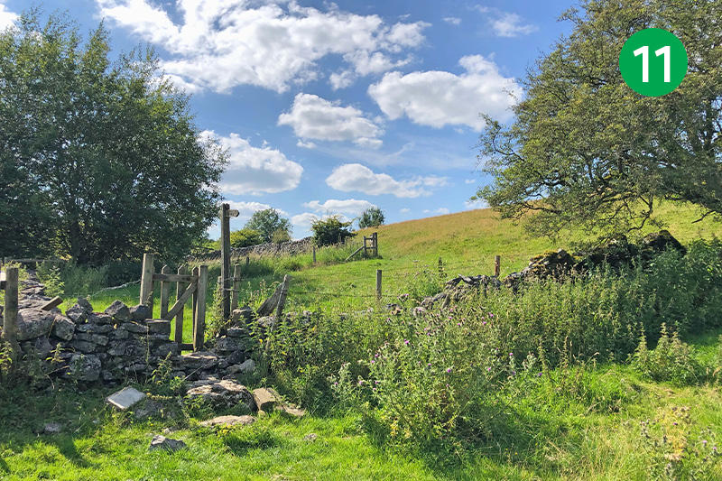
11: Go through the gate and follow the path up the slope, and then keep to the right of the stone wall to reach another small gate beside a footpath sign on your left.
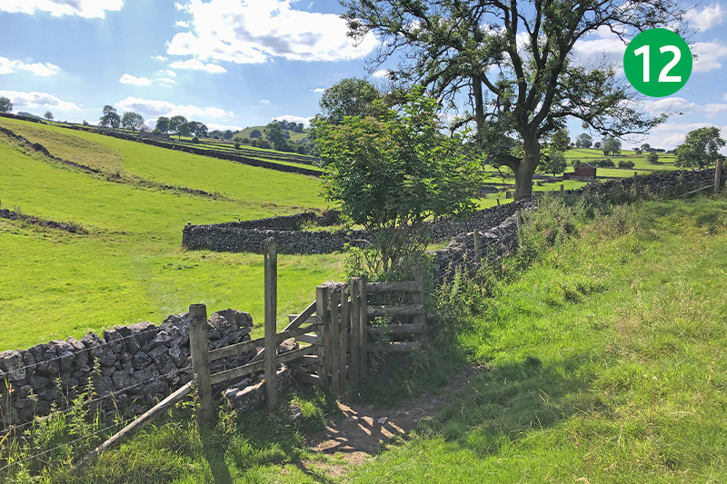
12: Through this gate, heading diagonally right across the field towards the corner of a stone wall. You then cross a number of fields in the same direction, passing through a series of well-marked stiles.
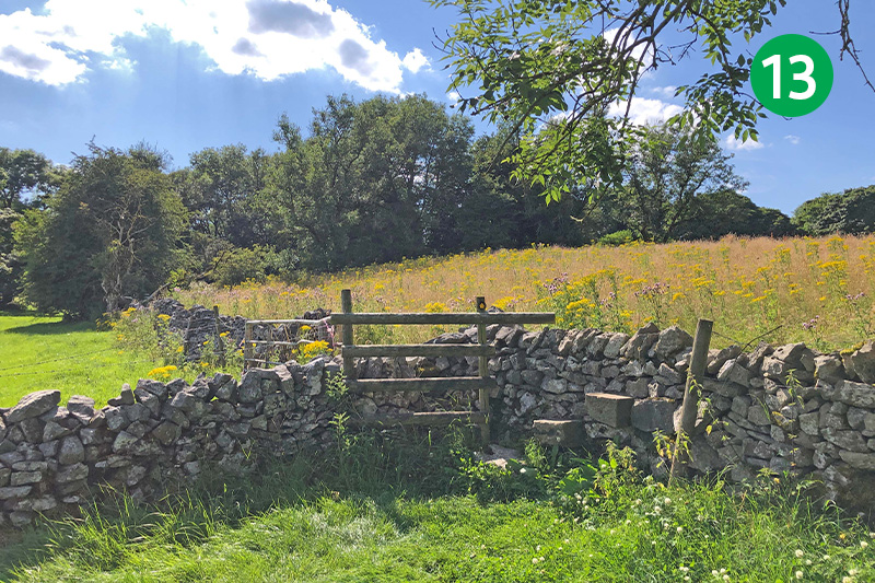
13: Eventually you reach a stile in the far corner of the largest field. Follow the direction arrow slightly left, passing through a gap in the next stone wall and heading up the slope diagonally to the right.
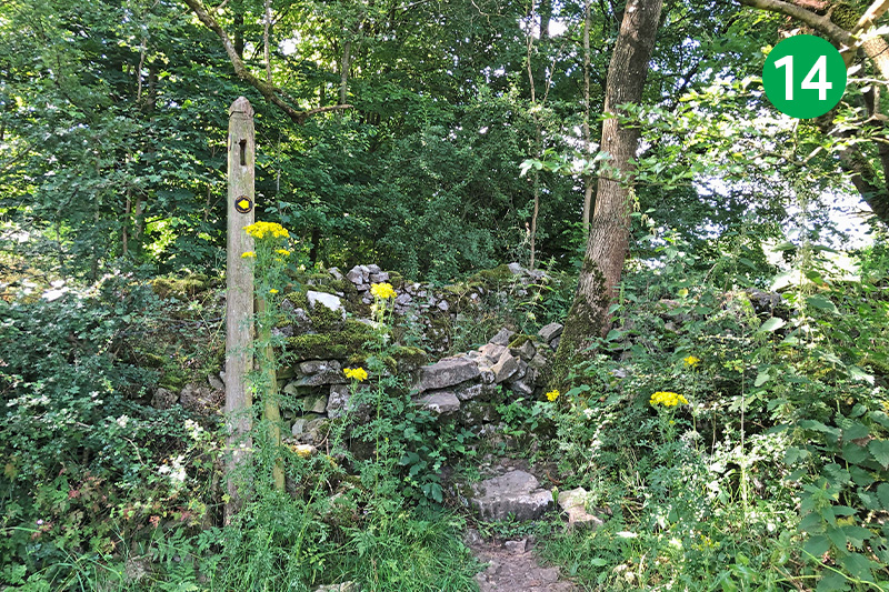
14: Cross the stile and turn left along the narrow track. Turn right after a short distance, heading up the slope and passing through a small gate.
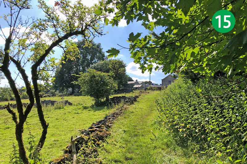
15: Follow this path all the way to the road to reach the outskirts of Priestcliffe through another small gate. Turn left and then immediately right along a wide farm track, passing farm buildings on your left.
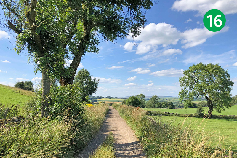
16: Follow this attractive lane for some distance until it bends sharply around to the left.
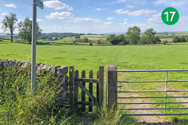
17: Follow the direction of a footpath sign at the bend, crossing a large open field towards a small copse of large trees in the distance.
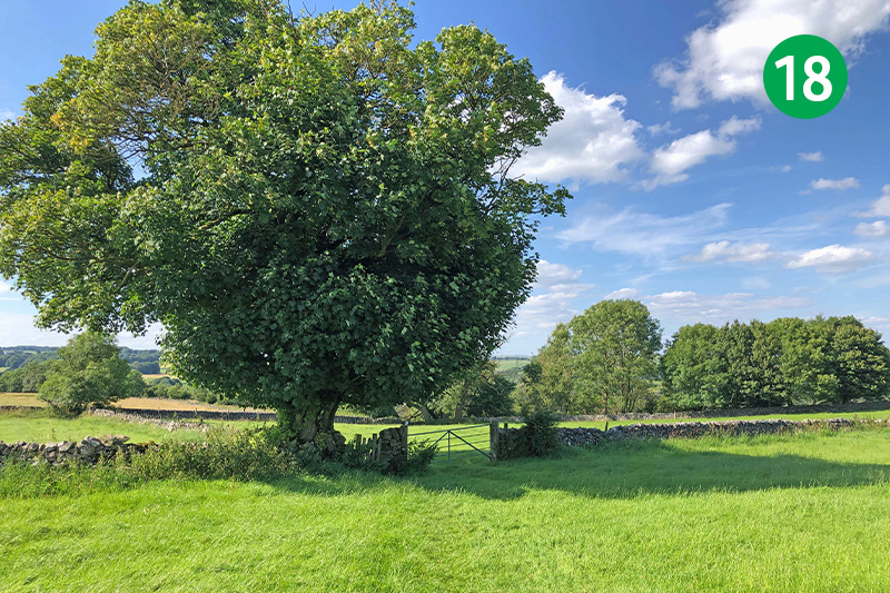
18: Go through a small gate beside a large tree, keeping in the same direction down the gradual slope.
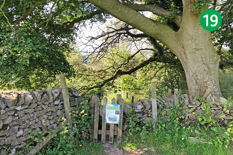
19: Go through a small gate in the far corner of the field and follow the fairly narrow – and often overgrown – path down the slope. (This is quite a steep and rocky track and can get muddy in winter and after rain, so some care may be needed.) There are some irregular steps at the end. Turn right at the foot of the steps along another narrow path through the trees.
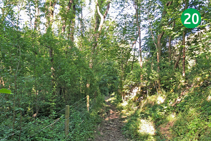
20: Follow the obvious path through a series of small gates, passing an old quarry on your right. Look out for the remains of a brick building on your right. Turn left here, down another slope, and go through the next gate on the left. This leads to the top of two large kilns which now forms a viewing platform.
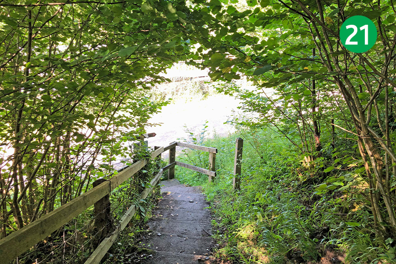
21: Go down a series of steps to the left of the kilns to reach the Monsal Trail. Turn left and Miller’s Dale Station is just a short distance away, across the viaduct. The station cafe serves a wide range of snacks, drinks and ice creams. Or you could visit the popular Anglers Rest pub by turning right along the Trail and following the sign on the left.

