15. Miller’s Dale > Tideswell
Walk distance: 7 miles | Date recorded: May 2024
Start point: Miller’s Dale Station | Google Map
GPX file: Just £1.50 | Download file
Walk description
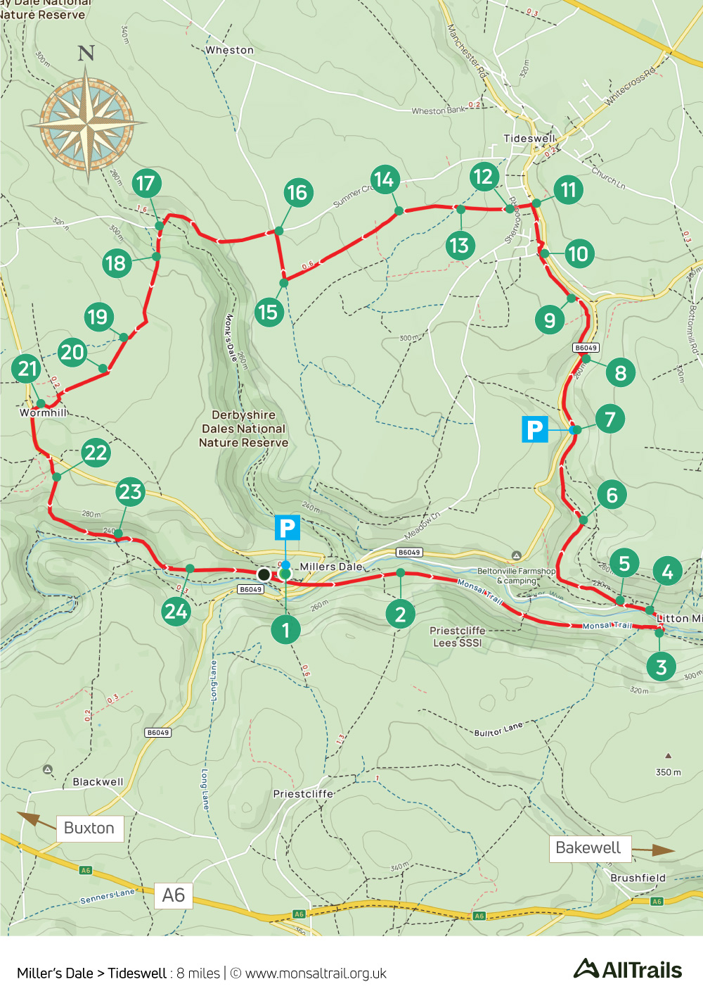
From Miller’s Dale Station, this walk of just over seven miles starts along the Monsal Trail before heading north through one of the White Peak’s shortest but most picturesque dales to the outskirts of Tideswell, returning across field paths to drop down to the River Wye just beyond Wormhill.
There’s a cafe and toilets at Miller’s Dale Station, and the popular Anglers Rest pub is just a short walk away with benches beside the river. The route also passes close to the Horse & Jockey pub in Tideswell, and there are more pubs and cafes in the town centre.
Alternative starting points are Tideswell, or the small carpark at point 7. Miller’s Dale and Tideswell are both on bus routes.
A ‘Relive’ version of the walk. Click to play and use the expand option to view in full-screen. Click here for more Monsal Trail ‘Relives’.
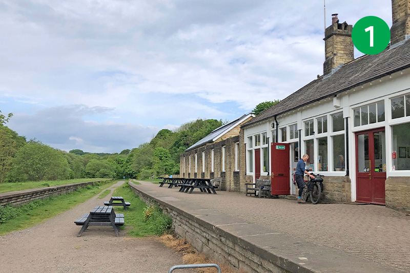
1: The walk starts from Miller’s Dale carpark. It’s difficult to imagine from today’s remote and peaceful setting, but this station was once the busiest on Midland Railway’s network, with trains arriving at five platforms, heading for Manchester, Buxton, Derby and London, across a pair of impressive viaducts. (Click for a history of the station).

2: From the station, turn left along the Monsal Trail across the oldest of the viaducts, built in 1862. The second was added in 1906 to cope with the increasing number of passenger and freight trains. A display board a little further on the right explains about the geology of the rocks uncovered when the railway was built.
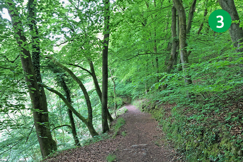
3: Continue along the Trail for some distance until you reach a footpath sign to Litton Mill on the left. Head down the slope to cross the footbridge over the River Wye, turning left along the lane.
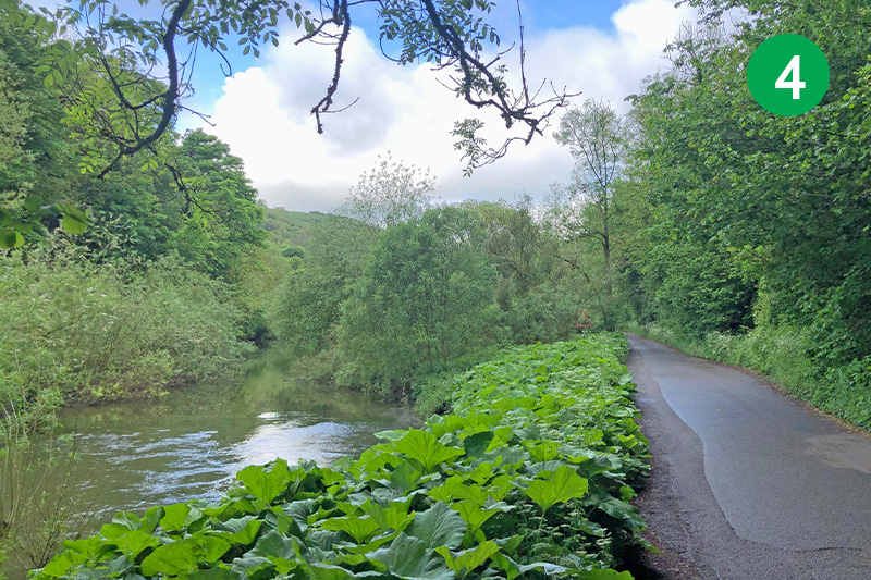
4: This picturesque lane, beside the River Wye, would once have been used to bring child orphans to work at Litton Mill. Dickens is said to have based Oliver Twist on the autobiography of a boy forced to work here under cruel and dangerous conditions (click for more).
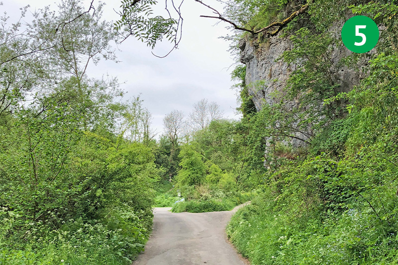
5: Turn right at the footpath sign to Tideswell Dale to walk along one of the shortest but most picturesque valleys in the White Peak.
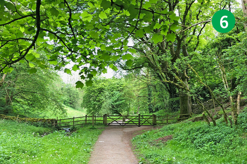
6: Follow the track through the trees – it divides at one point but then merges again so it doesn’t matter which route you take.
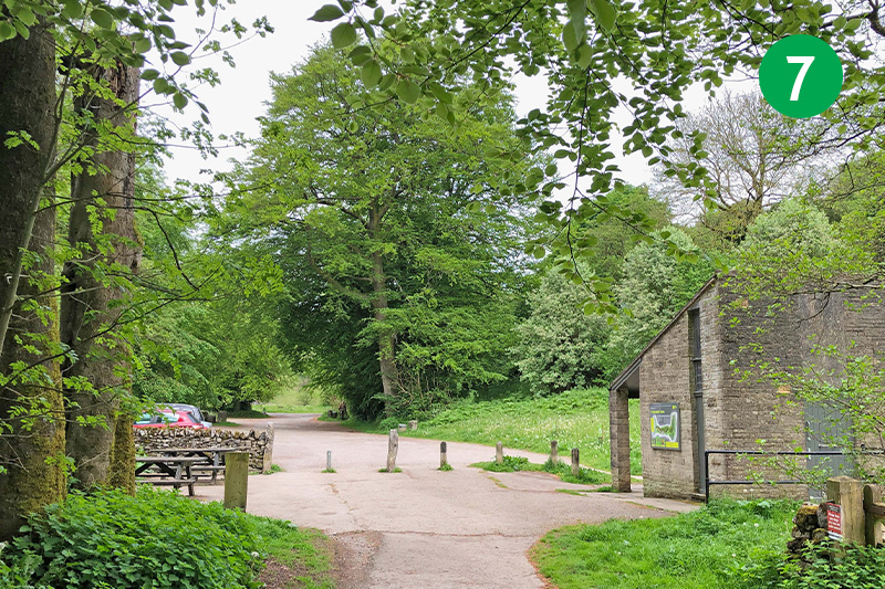
7: Cross the small carpark (this is an alternative starting point, on the right of the road from Miller’s Dale to Tideswell), and follow the narrow path to the right of the entrance.
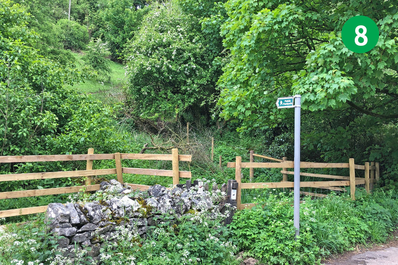
8: At the end of the path, cross the road and turn right along the pavement until you reach a footpath sign on the left. Go through the small gate, following the path as it snakes up the slope and around to the right.
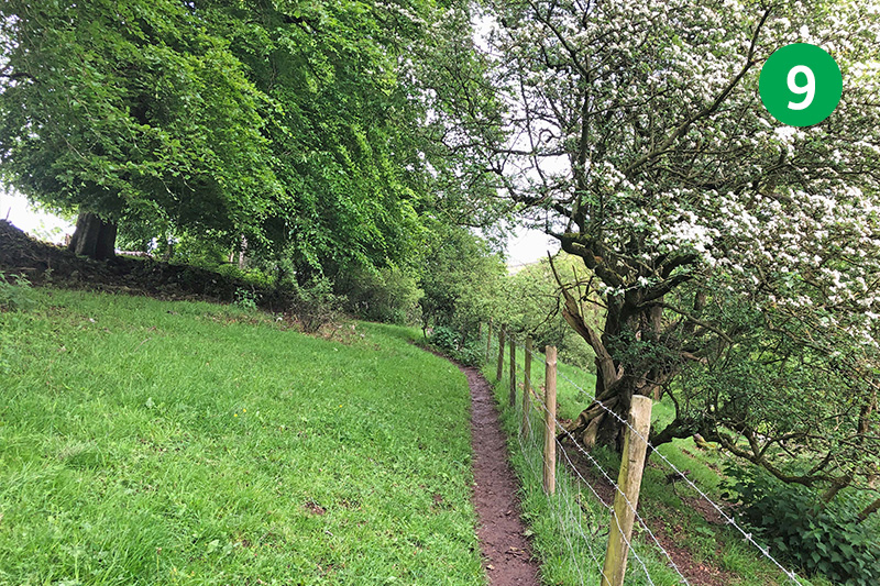
9: Keep on the path beside the fence, continuing in the same direction as you go through a small gate and onto a farm track. Follow this for some distance, passing some industrial units.
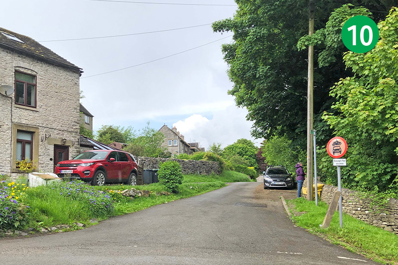
10: The track eventually divides either side of some houses. Go to the right, and then cross the road, keeping in the same direction, straight ahead and along the lane.
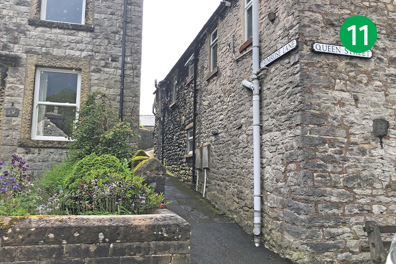
11: Look out for Primrose Lane on the left, just before The Horse & Jockey pub. Go up this narrow path between houses until you reach the next road. (Tideswell is just a 10 minute walk from here, along Queen Street, with a choice of pubs and cafes, as well as the impressive ‘Catherdral of the Peak’ church.)
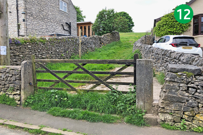
12: Cross the road and go through a stile beside a farm gate, following the footpath sign up the slope and across a wide field.
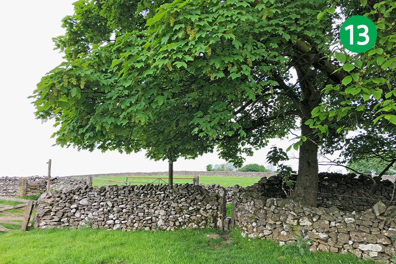
13: Keep in the same direction up the slope, passing between a gap in the next stone wall, heading for a stile beside a tree in the far right corner of the next large field. Follow the footpath sign on the opposite side of the track, between two farm gates, diagonally left over a series of stiles in the field walls.
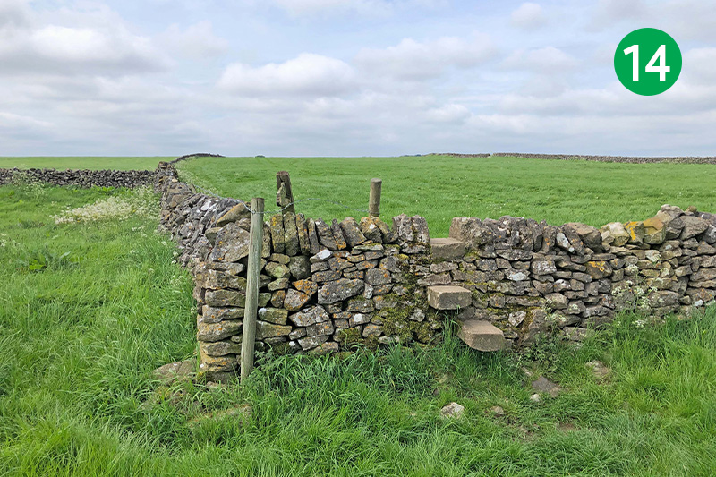
14: As you reach the bottom of the largest field, look out for a stile in the corner of the next field. Cross here, heading up the slope with the stone wall on your left.
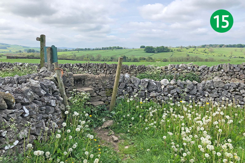
15: Cross the stile in the far left corner of this field, turning right along the farm track.
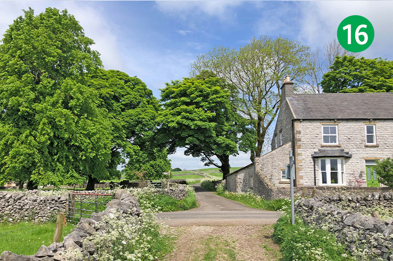
16: Turn left when you reach the road, following it for some distance. The road eventually drops down a fairly steep slope. (The entrance to Monk’s Dale is across to your left – see this walk.)
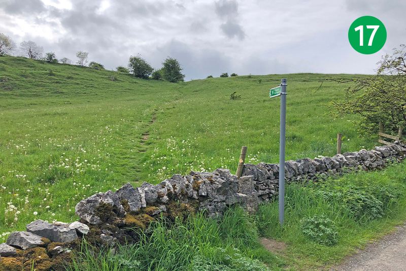
17: As the road rises up the slope, follow the direction of a footpath sign on your left, along an obvious path up the field.
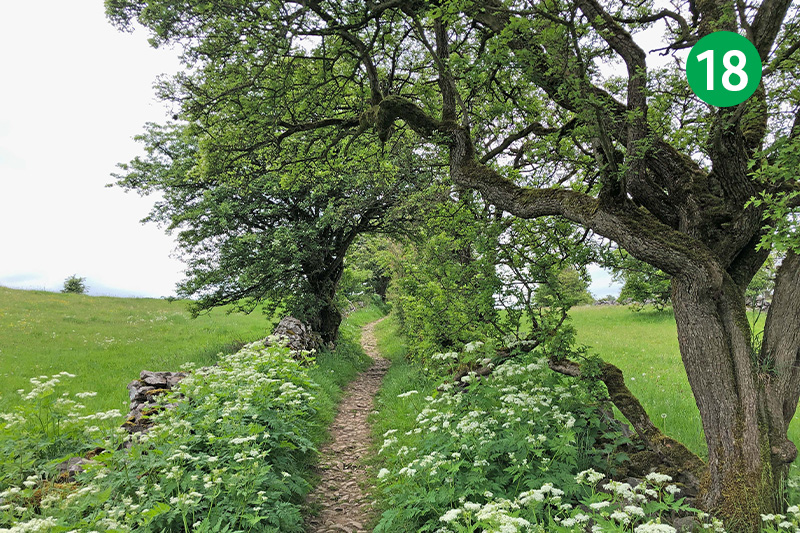
18: At the top of the slope, keep in the same direction along a narrow track between stone walls.
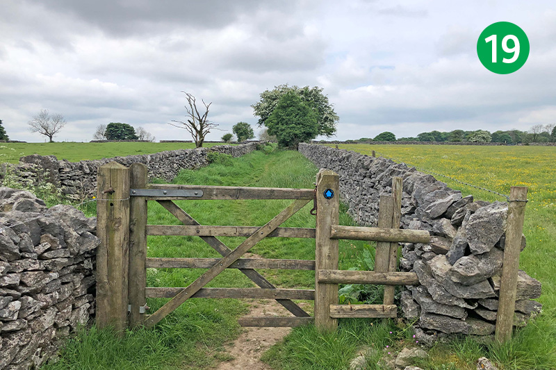
19: Go through a wooden gate and turn immediately left through a stone stile, crossing the field and keeping the wall on your left. Continue in the same direction as the path becomes a track between stone walls.
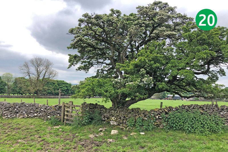
20: Cross the next field, heading towards a gate beside a tree, and follow the footpath sign towards some farm buildings in the distance. Go through the farm gate and then turn left through a small gate just beyond a large shed.
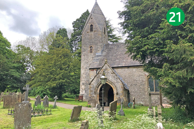
21: Follow the narrow lane to exit by Wormhill Church. There are benches beside the church porch to rest awhile and take in the peaceful setting. The route turns left when you reach the road, but the village green is just a short distance along the road to your right where there are also benches, as well as a set of stocks.
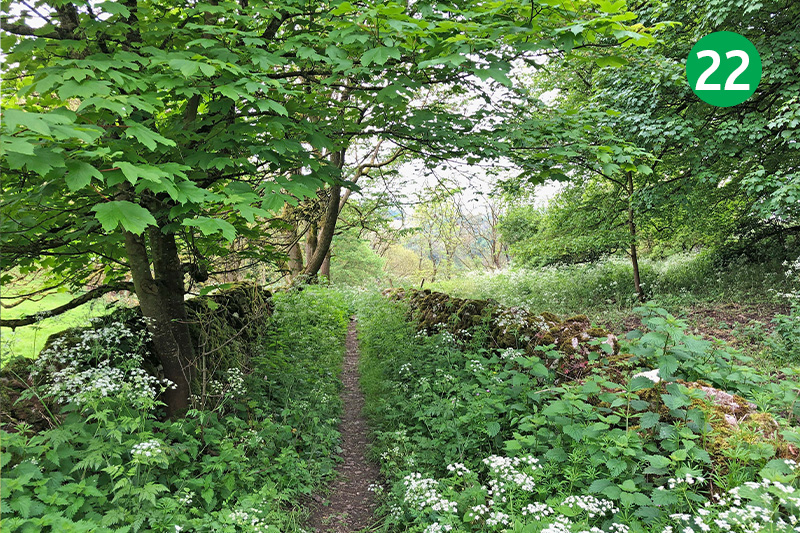
22: Turn left at the road, and after short distance, follow the wide track that slopes down on the right. Continue around to the right as it narrows to a footpath, passing through a couple of gates to eventually reach the River Wye.
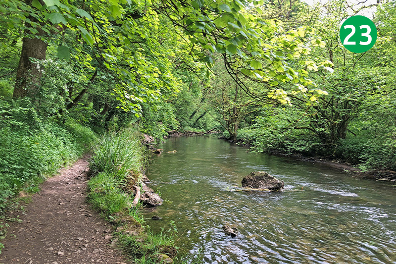
23: Turn left along the path besides the river, following it for some distance until you reach a large stone arch to one of the viaducts along the Monsal Trail. Climb the steps just before the arch, turning left when you reach the top.
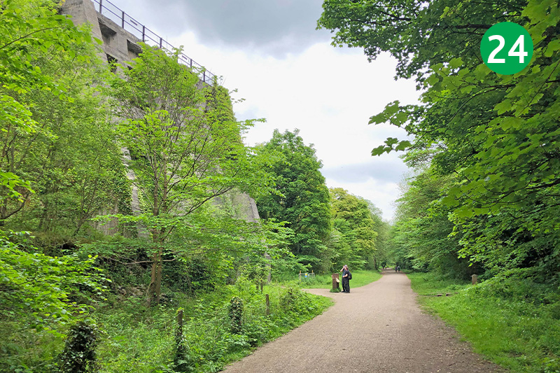
24: It’s just a short distance from here back to Miller’s Dale Station. An impressive lime kiln on the left once produced over 50 tons of quicklime a day, from 1880 until its closure in 1944, carried across the country by the railway.

