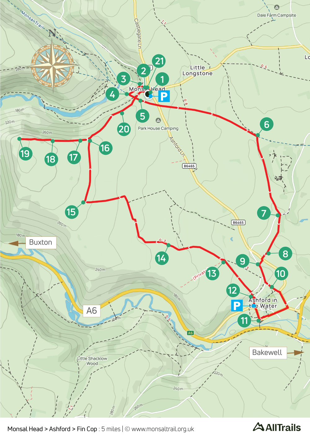
11. Monsal Head > Ashford
Walk distance: 5 miles | Date recorded: May 2024
Start point: Monsal Head carpark | Google Map
GPX file: Just £1.50 | Download file
Walk description
An easy five-mile walk from the viewpoint at Monsal Head down to the Trail and then across field paths to the picturesque village of Ashford-in-the-Water, returning along the wonderfully named Pennyunk Lane with the option of a short detour to the Iron Age settlement at Fin Cop.
Unfortunately it’s no longer possible to explore the ramparts of this ancient fort, but you can enjoy some wonderfully panoramic views which reveal why our ancestors chose this spot. (Without the detour to Fin Cop, the walk would be around four miles.)
There’s a good choice of both pubs and cafes at both Monsal Head and Ashford-in-the-Water. And regular bus services.
A ‘Relive’ version of the walk. Click to play and use the expand option to view in full-screen. Click here for more Monsal Trail ‘Relives’.
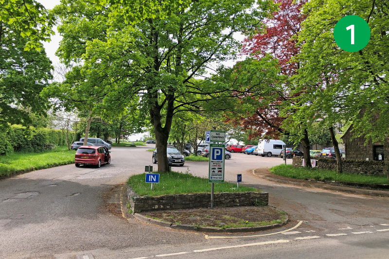
1: Monsal Head carpark lies just behind the Monsal Head Hotel. It’s paid-for but there often free spaces alongside the road to Little Longstone. The public toilets beside the carpark have recently reopened.
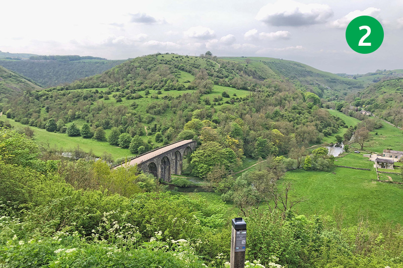
2: There are benches to enjoy the wonderful view from Monsal Head, down towards Headstone Viaduct spanning the River Wye in the valley below. Go through the gap in the stone wall beside the cafe and turn right along the path, which slopes quite steeply at this point.
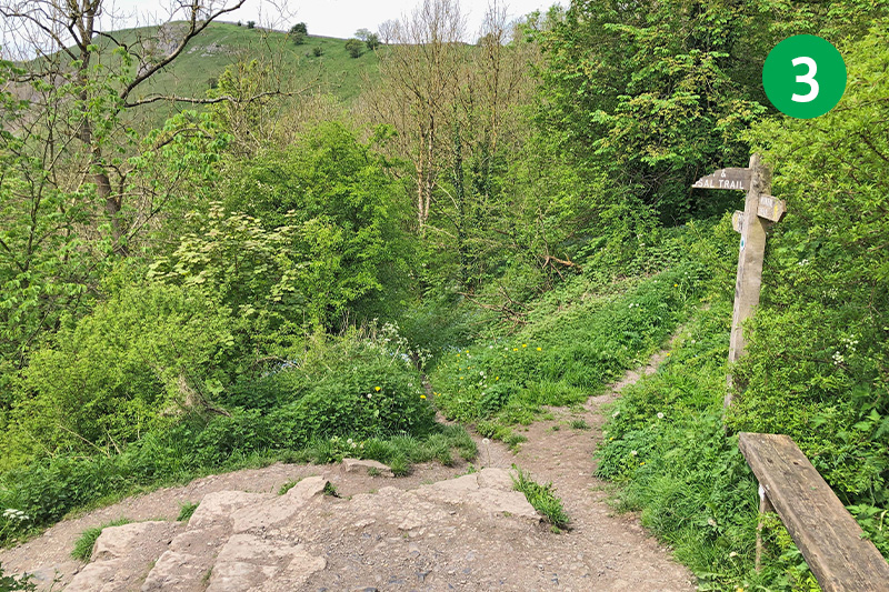
3: Turn left at the footpath sign beside a wooden bench and follow this narrow track as it slopes down to meet the Monsal Trail.
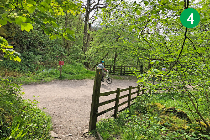
4: The route goes to the left, along the Trail through Headstone Tunnel. But you may want to enjoy the views from both sides of the viaduct, which is just a short distance to the right.
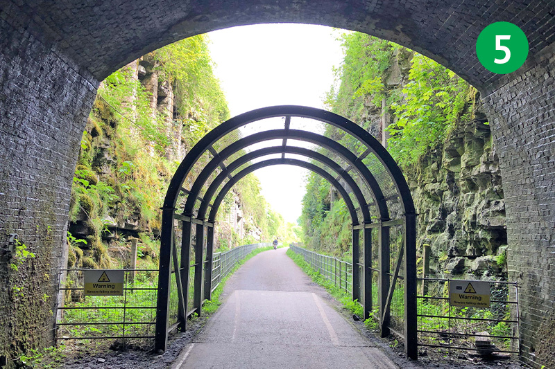
5: Headstone Tunnel is the longest of six tunnels along the Monsal Trail. They were only reopened in 2011, some 30 years after the Trail was opened. Before then, walkers had to walk over and around them.
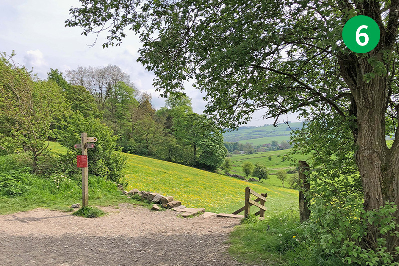
6: Stay on the Trail for some distance until you see a footpath sign on the right to Ashford. Follow the direction arrow diagonally left across the field, passing through a number of stiles until you reach a minor road.
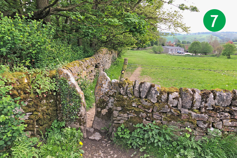
7: Go through another stile on the opposite side of the road, continuing in the same direction beside the stone wall, across two large fields.
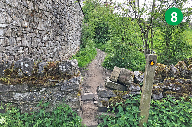
8: At the foot of the slope, follow the direction along a narrow path to reach the main road.
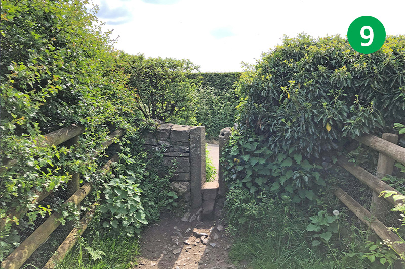
9: Go through a stile on the opposite side of the road (taking care as there’s no pavement at this point), and turn left when you exit. (If you don’t want to visit Ashford, you can take a shortcut by turning right at the top of the slope along Pennyunk Lane to reach point 13.)
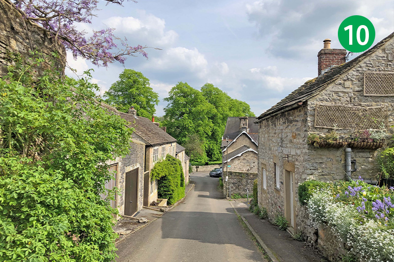
10: Turn left just over the rise, down Hill Cross. Turn right at the bottom to enter Ashford, and then right again at the village shop, passing the recently reopened Ashford Arms on the left, and the more traditional Bulls Head pub on the right, as well as the Aisseford Tearoom.
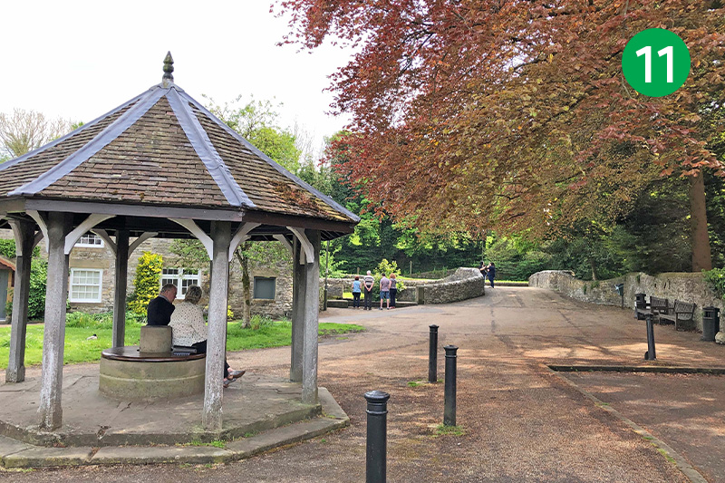
11: Continue past the church to a covered well – one of six in the village that are dressed on the day before Trinity Sunday with displays made from petals, berries and leaves. The much-photographed Sheepwash Bridge spans the River Wye just behind.
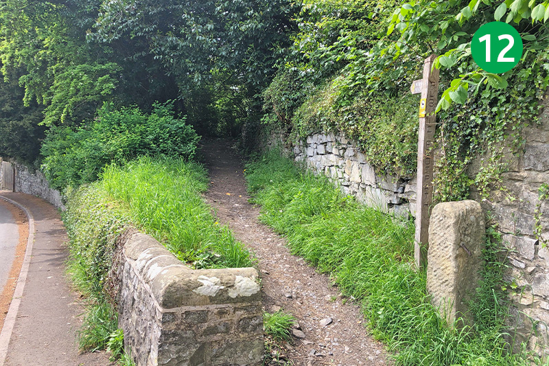
12: Follow the road around to the right, passing the small carpark on the right. Continue up Vicarage Lane for a short distance, and follow the footpath sign on the left. Exit the path over a stile and follow the direction posts diagonally right across the field. (If it’s wet and muddy, you may prefer to continue up the lane, turning left at the top, along Pennyunk Lane, to reach 13.)
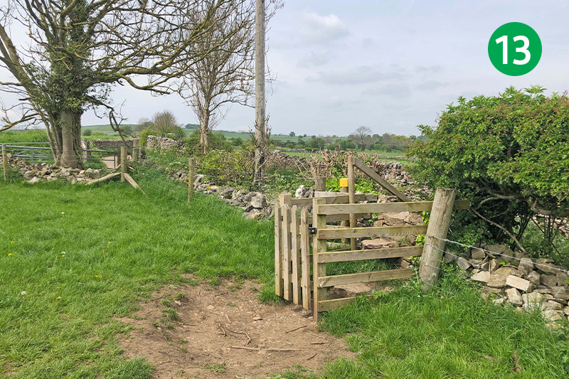
13: Cross the wooden stile in the far right corner of the field to reach Pennyunk Lane, and turn left.
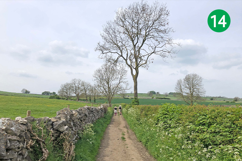
14: Continue along this ancient track as it winds up the slope. It soon narrows to a footpath (which can get muddy in winter). Turn right when you eventually exit the path through a small gate, following the sign towards Monsal Head.
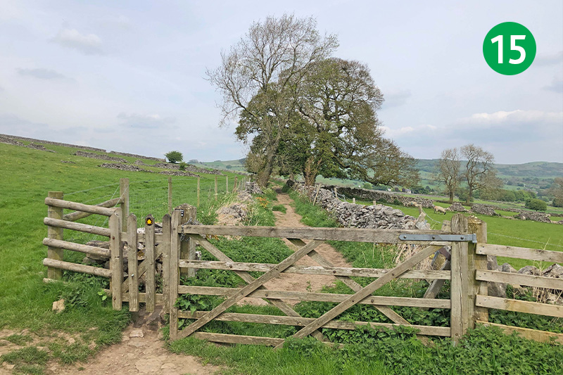
15: Go through a gate to enter a narrow lane between stone walls, and keep in the same direction for some distance with the wall on your right.
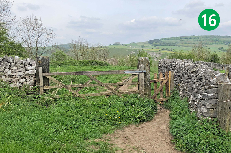
16: You eventually exit through another gate. A wooden bench just ahead is a good place to rest awhile and take in the view. From here there’s the option of visiting Fin Cop Iron Age settlement. Or simply following the path around to the right to reach Monsal Head.
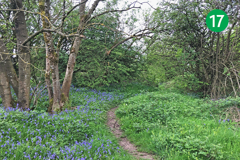
17: Unfortunately Fin Cop isn’t on public access land, so it’s not possible to explore what remains of the Iron Age ramparts. But there is a footpath that will take you close. Simply follow the narrow path through the trees behind and to your left.
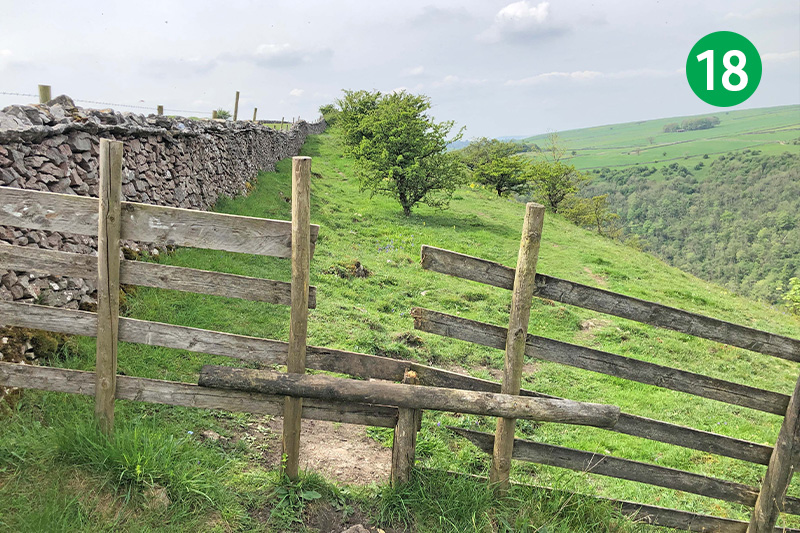
18: Follow this narrow path for some distance as it winds through the trees and undergrowth, crossing a wooden stile near the end, and keeping the stone wall on your left. From here there are some wonderful views across Wye Dale.
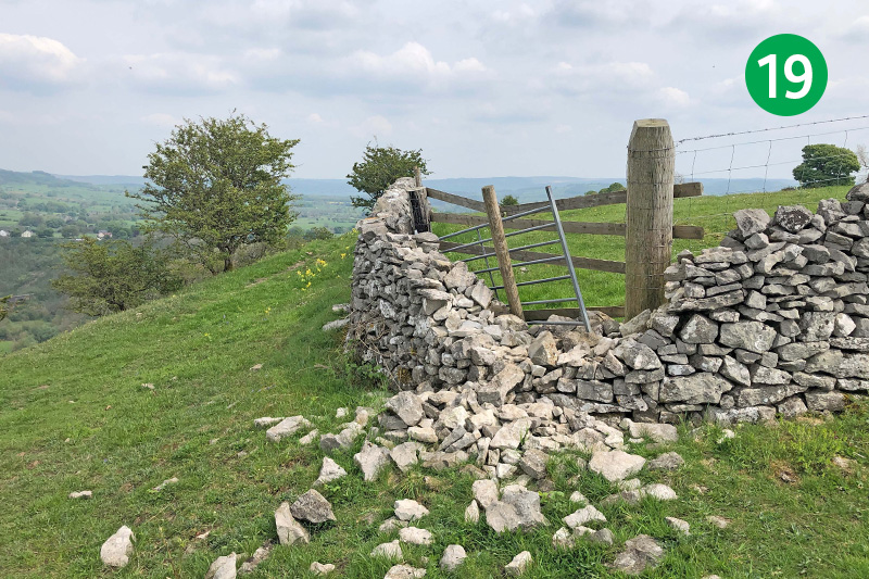
19: The last time I visited Fin Cop it was possible to climb a wooden stile at the far corner of the stone wall to see the ramparts. But the land-owner has since completely blocked it off – presumably to prevent people tearing any more of the wall down.
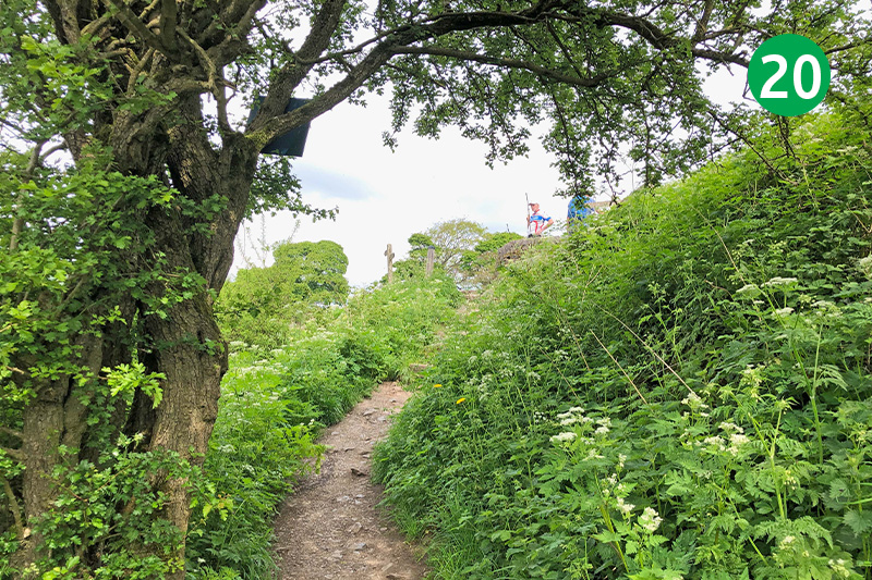
20: The location of Fin Cop must have been perfect for our Iron Age ancestors, giving them a panoramic view of any approaching threats. But a recent excavation showed that it only lasted for around 100 years. (To follow… Click here for more on what the excavation uncovered.) From here, simply retrace your steps and continue to Monsal Head.
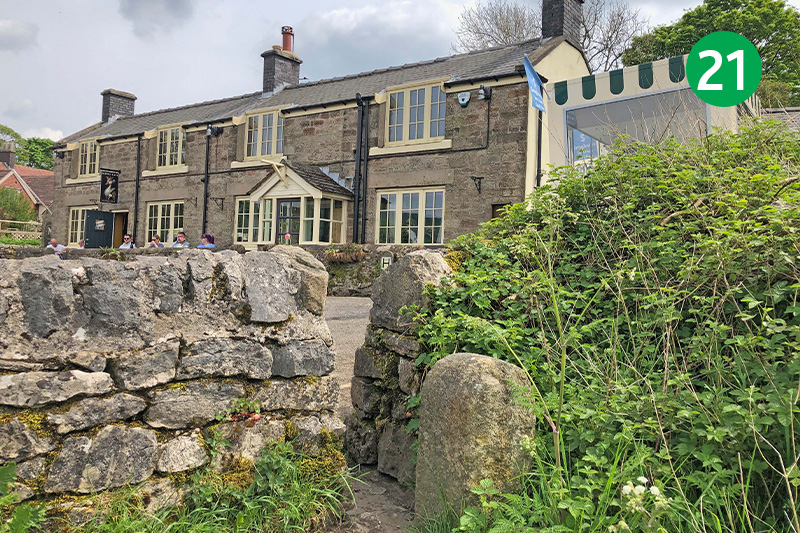
21: Climb the steps on the right to return to the starting point. Hobbs Cafe on the right has some tables and chairs overlooking the valley. And Monsal Head Hotel on the crossroads has a large outside area in front of the old stables to enjoy drinks and snacks. The Packhorse pub in nearby Little Longstone is just a short walk away.

