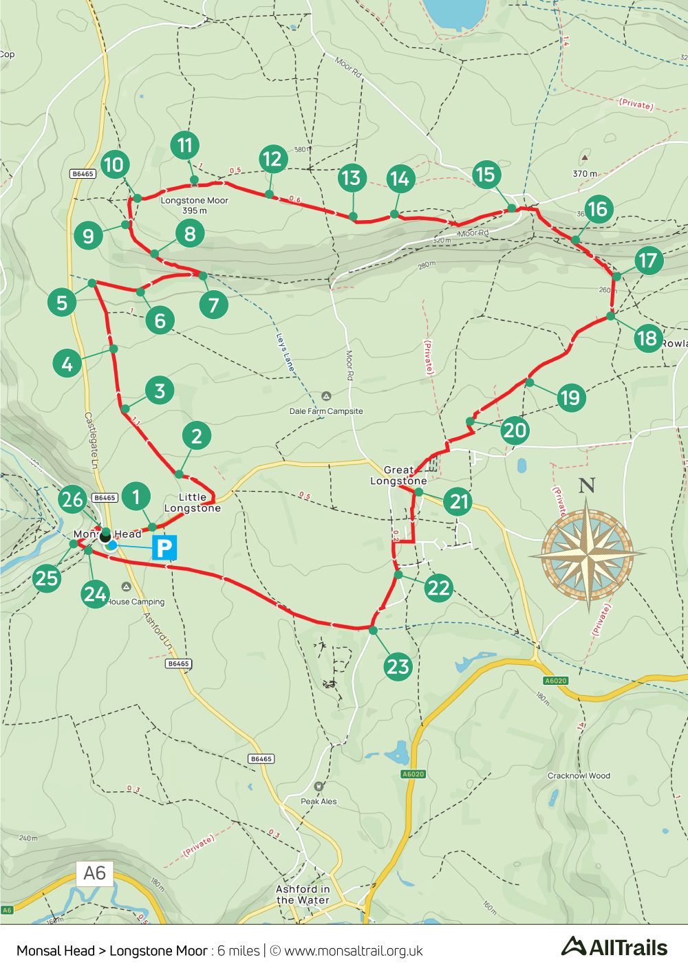
18. Monsal Head > Longstone Moor
Walk distance: 6 miles | Date recorded: 6 June 2024
Start point: Monsal Head | Google Map
GPX file: Just £1.50 | Download file
Walk description
There are some wonderfully panoramic views on this 6-mile walk, starting from Monsal Head and heading up to a cairn which marks the highest point of Longstone Moor (1296ft), and the site of an ancient Bronze Age burial mound.
From here the route heads east along Longstone Edge before dropping down along a mix of farm tracks, field paths and old packhorse lanes to reach Great Longstone, returning along the Monsal Trail.
There’s a good choice of places offering refreshments; the Packhorse Inn in Little Longstone, The White Lion and The Crispin in Great Longstone, Monsal Head Hotel and Stables, as well as Hobbs Cafe and Thornton Hall’s Quackers Cafe.
A ‘Relive’ version of the walk. Click to play and use the expand option to view in full-screen. Click here for more Monsal Trail ‘Relives’.
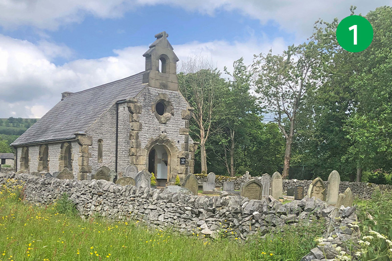
1: There’s a large paid-for carpark at Monsal Head, but you can often find on-street parking just opposite, on the road to Little Longstone. Head down the lane towards the village, passing the picturesque chapel on your left. (The chapel was built in 1844 when locals decided they didn’t like the new vicar at Great Longstone’s high church views.)
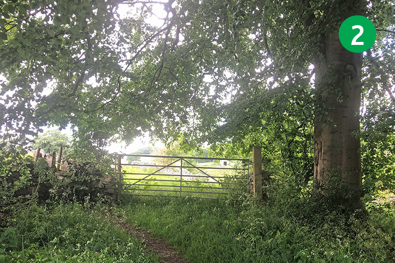
2: Look out for a footpath sign on the left, just before the Packhorse Inn. Follow the narrow path between the pub and the farmhouse up the slope, passing through a gate into a large field.
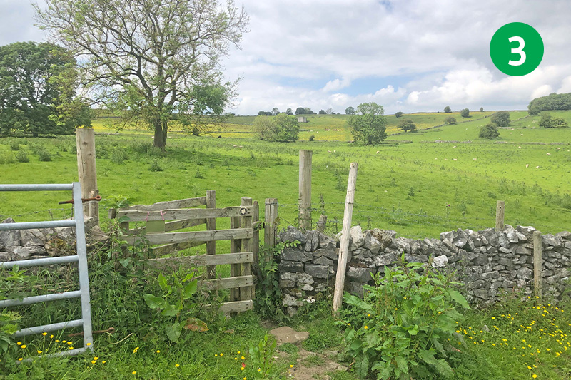
3: Cross the field, heading slightly right towards a wooden stile in the stone wall. Go through here and keep the wall on your left to reach another small wooden gate.
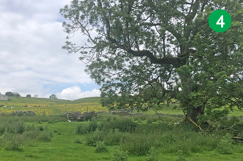
4: Follow the arrow on the gate, heading slightly right towards a pair of trees in the distance. Go between the trees and cross over a stile in the stone wall a short distance further.
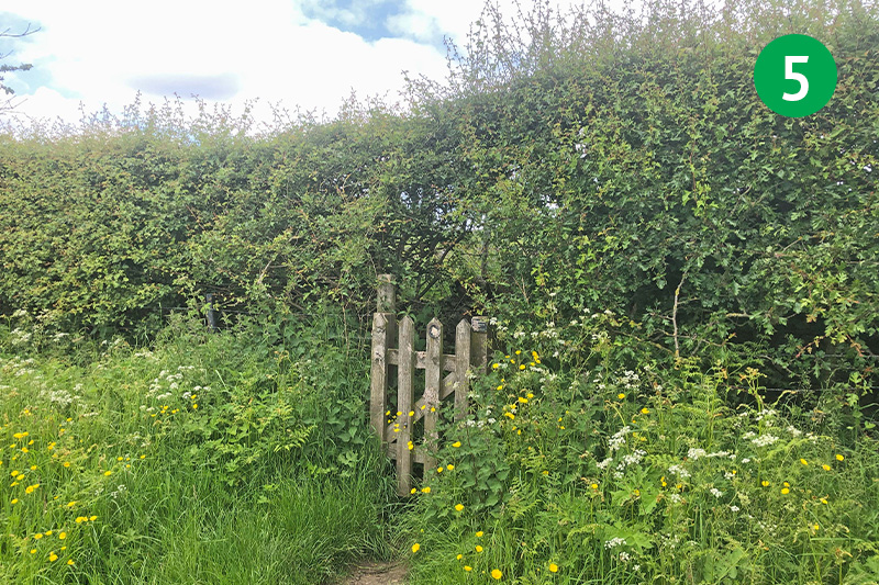
5: Cross this wide open field in the same direction, heading up the slope to reach another stone stile. Follow the direction arrow straight ahead over more fields and stiles, looking out for a well-hidden gate when you reach the far end.
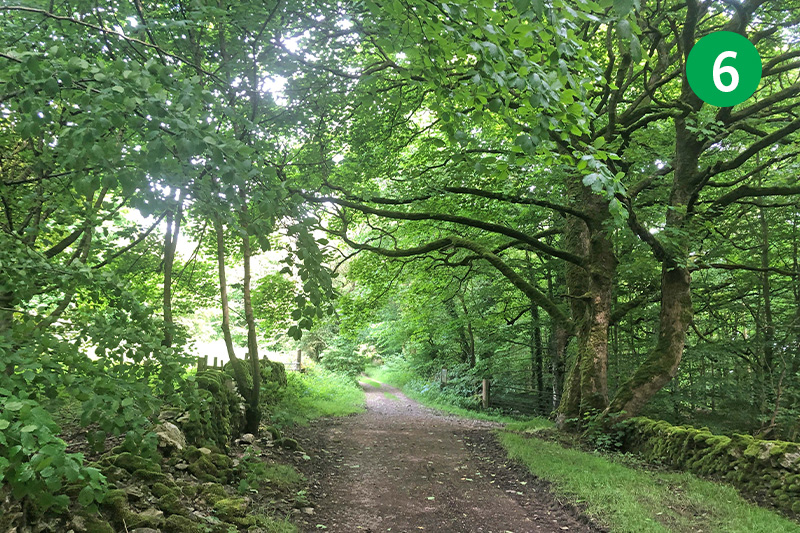
6: Turn right through the gate and head along this attractive, tree-lined track for some distance.
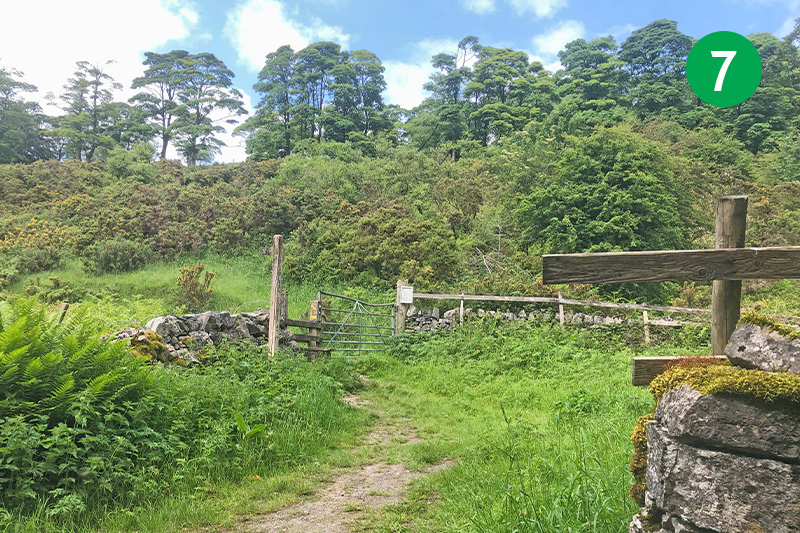
7: Look out for a footpath sign on the left and follow it over a woden stile up the slope between gorse bushes.
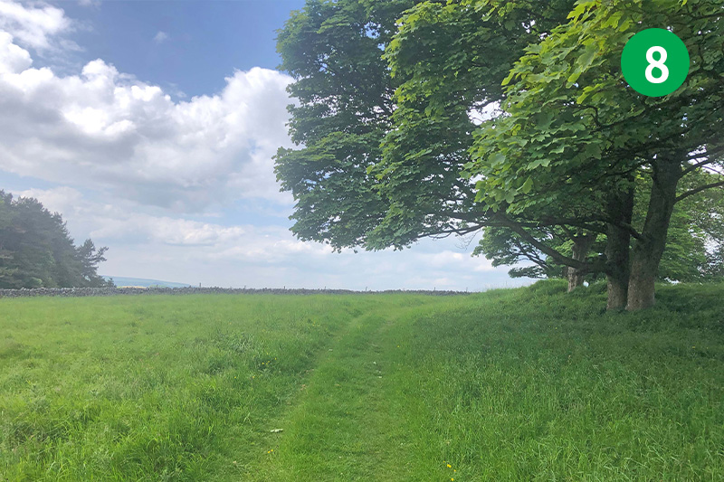
8: Pass a dew pond on your left, following the obvious track as it winds around to the right.
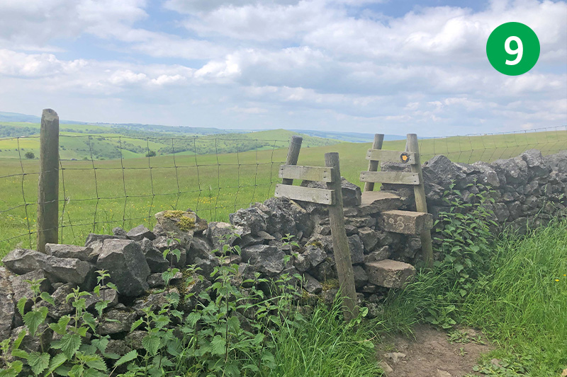
9: Cross a wooden stile on the left. The direction arrow points to the left, but head slightly right towards a gate that soon appears on the horizon.
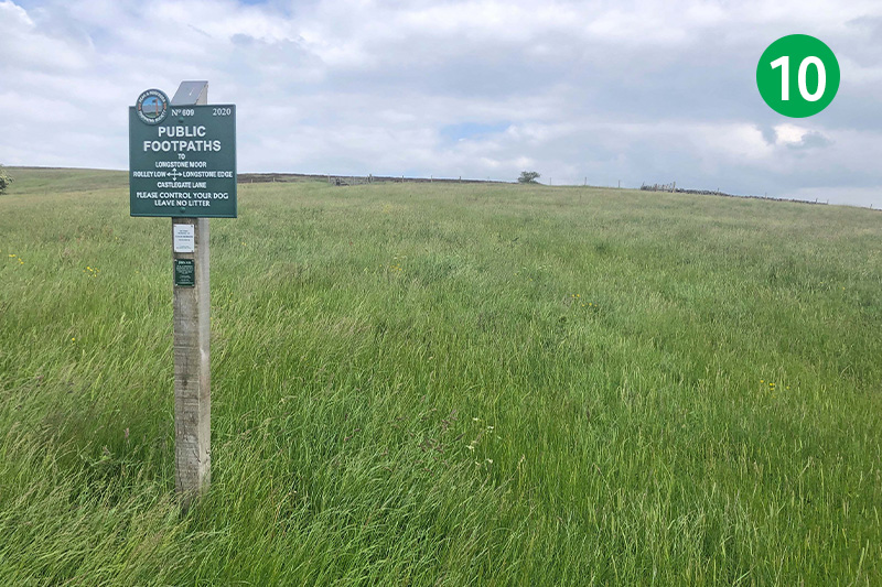
10: Follow the metal footpath sign to the right of the gate up the field in the direction of Longstone Moor. Go through the wooden gate, continuing in the same direction as the wide track winds first to the right and then the left.
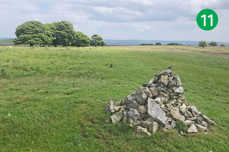
11: You soon see a small cairn of stones which marks the high point of Longstone Moor – and the site of a BronzeAge burial barrow – with wonderfully panoramic views across the landscape.
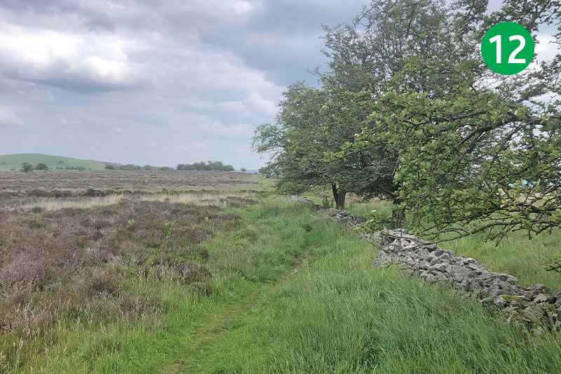
12: Keep in the same direction between two groups of trees, and then head slightly right to follow a narrow path beside the remains of a stone wall which leads across heather moorland.
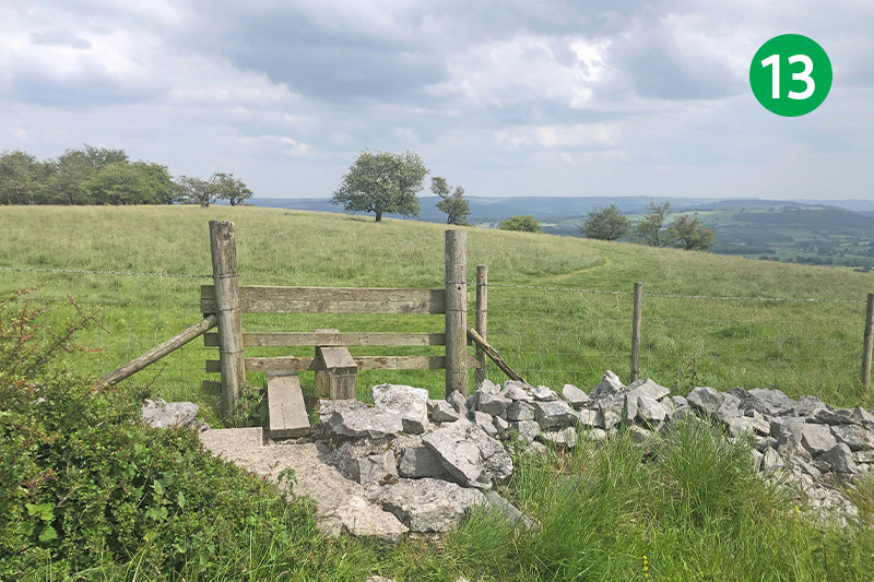
13: The path crosses over a shallow ditch known as a rake where our ancestors once dug for lead which lay just below the surface. Keep in the same direction to eventually reach a wooden stile. Cross the field, following the obvious path.
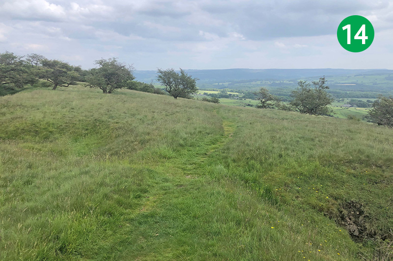
14: The track eventually divides, passing either side of another rake. Take the right hand path, following it down the slope. (It’s not a problem if you miss this division of paths as keeping to the main track brings you out at the same point.)
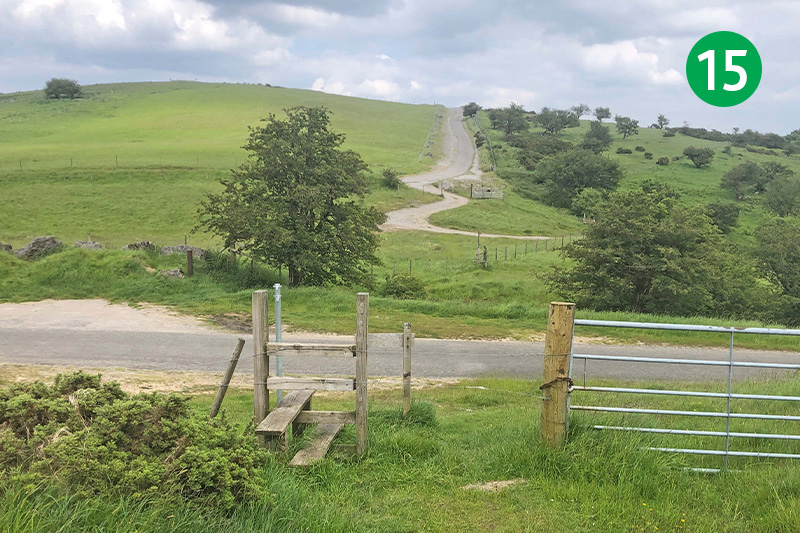
15: When you reach the wire fence, follow the path alongside it to eventually drop down to a stile. Cross the narrow lane slightly left, and follow the narrow path straight ahead as it drops down the slope. Ignore the footpath sign on the left, keeping to the path beside the fence, and cross over a wooden stile onto a wide farm track.
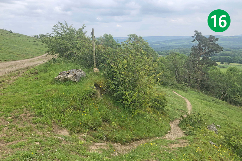
16: Follow this track for some distance down the slope until you reach a narrower path dropping down to the right. Follow this through the trees and bushes to eventually reach a small gate.
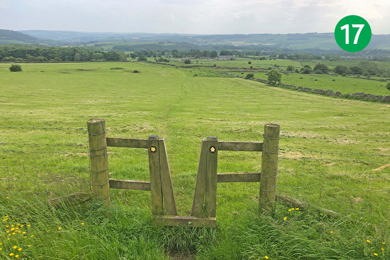
17: Head towards a wooden stile leading into a wide field. Follow the direction arrow straight ahead, down the slope.
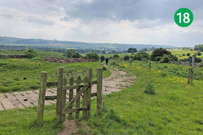
18: Go through a gate at the bottom of the slope and turn right along the track. After a short distance, pass through a stile in the stone wall beside a farm gate and head along this ancient track, known as Hardrake Lane.
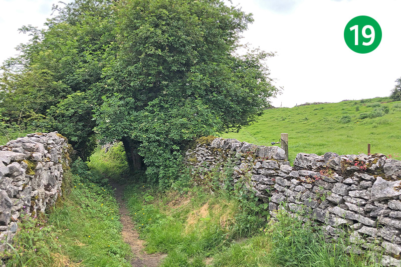
19: Look out for a gap in the stone wall on the right. Go through here and follow the path as it slopes up to the left. Follow the next footpath sign across another field, and then over a concrete farm track, heading in the same direction down the slope.
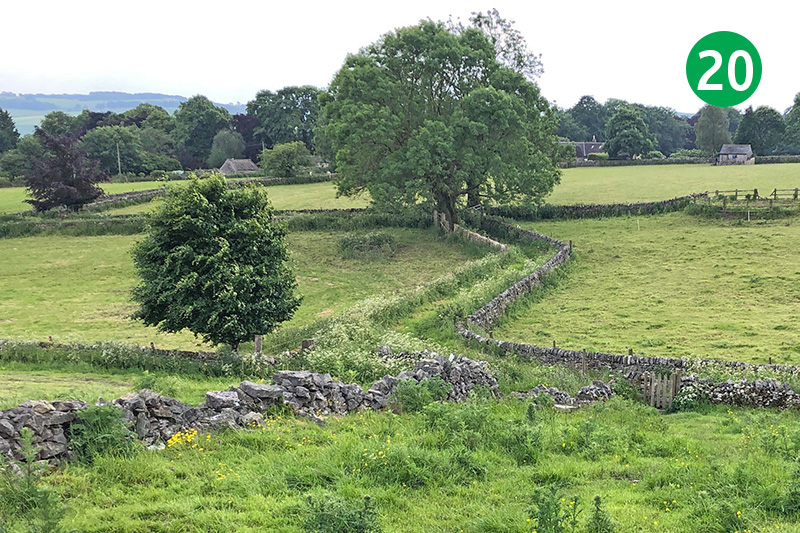
20: At the foot of the slope, go through a wooden gate in the corner of the field to reach another old trackway. Go left along here to reach a wider farm track, and left again to reach the minor road. Turn right along the road and take the path through the churchyard to reach the centre of Great Longstone.
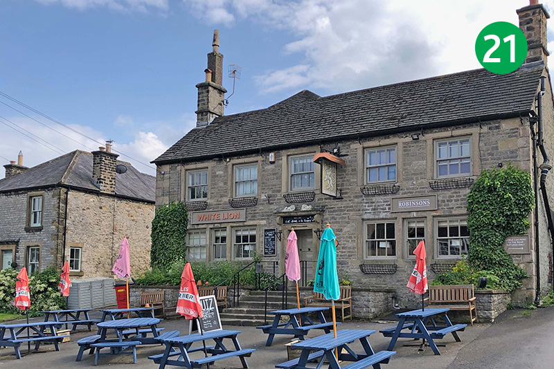
21: Turn left along the road and then follow the footpath sign on the right, just past the White Lion pub, keeping on this narrow footpath and passing the playground on the left. Turn right when you reach the housing estate, and then left at the road.
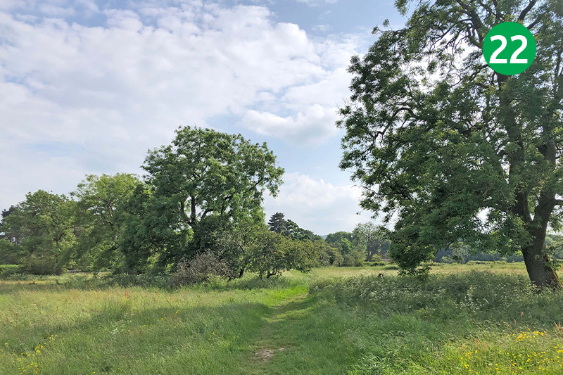
22: Look out for a footpath sign on your right. Go through here and follow the path between the trees, turning right when you reach the road. (Keeping to the road will take you to the same point.)
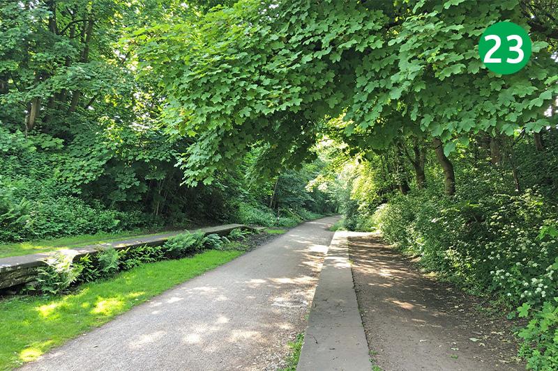
23: Go between some stone gateposts just before the bridge, and head down the slope on the right. This was once Great Longstone Station; one of five along the Monsal Trail (click for a brief history and photos). The large castellated building opposite was used as a personal waiting room by a Midland Railway Director who lived at nearby Thornbridge Hall.
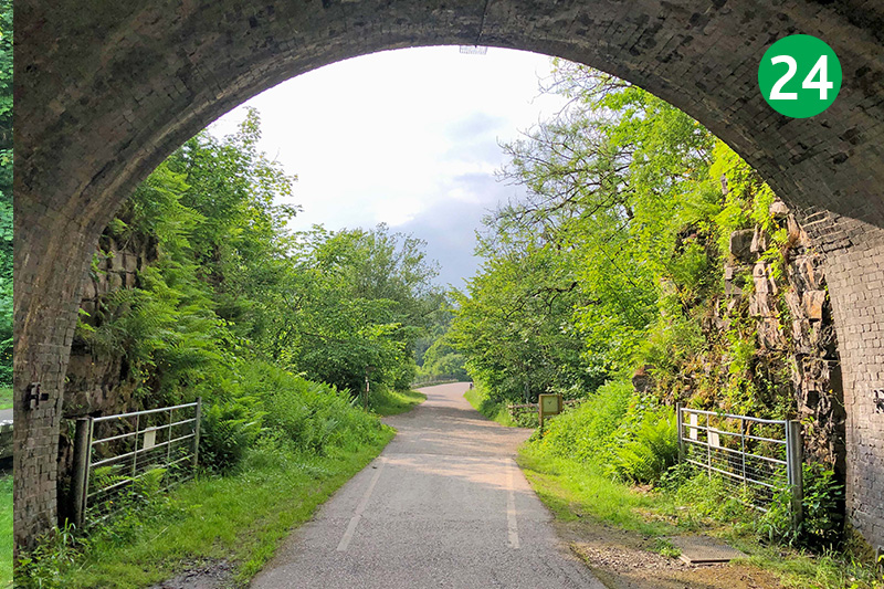
24: The walk follows the Monsal Trail for some distance, passing though the Headstone Tunnel, the longest on this 8.5 mile stretch of the old railway line. Just beyond is Headstone Viaduct with wonderful views from both sides of the River Wye meandering though Monsal Dale.
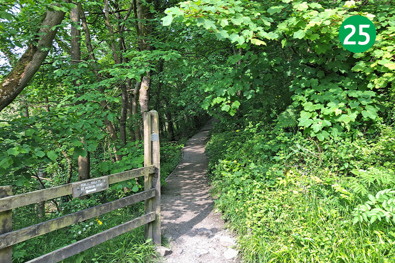
25: The path back up to Monsal Head is on the right, just past the tunnel exit. Head up the slope, turning right when you reach a wooden bench.
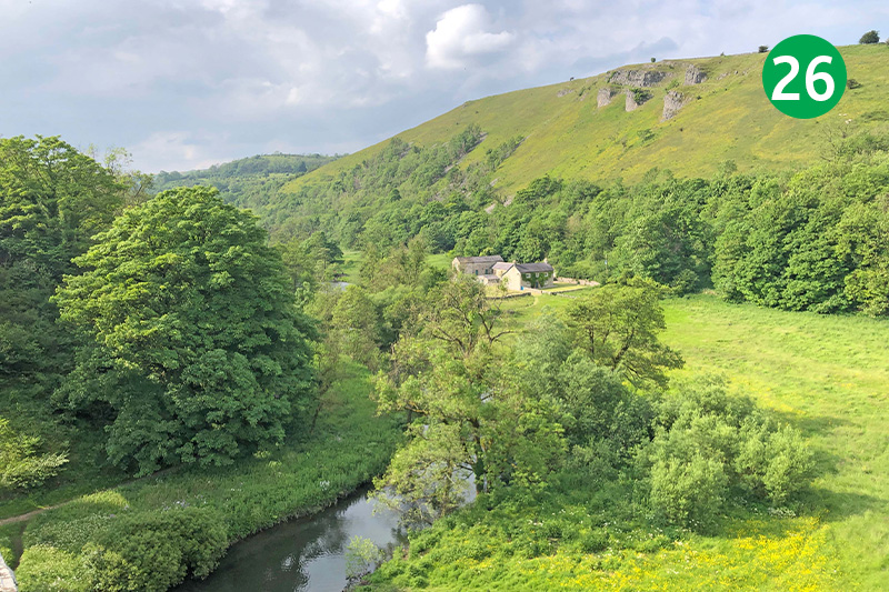
26: There are benches at Monsal Head to rest awhile and take in the glorious views. Hobb’s Cafe serves drinks and snacks as well as ice creams. There’s also a bar at the Monsal Head Hotel, and their old stable block next door serves meals and drinks (although opening times can vary).

