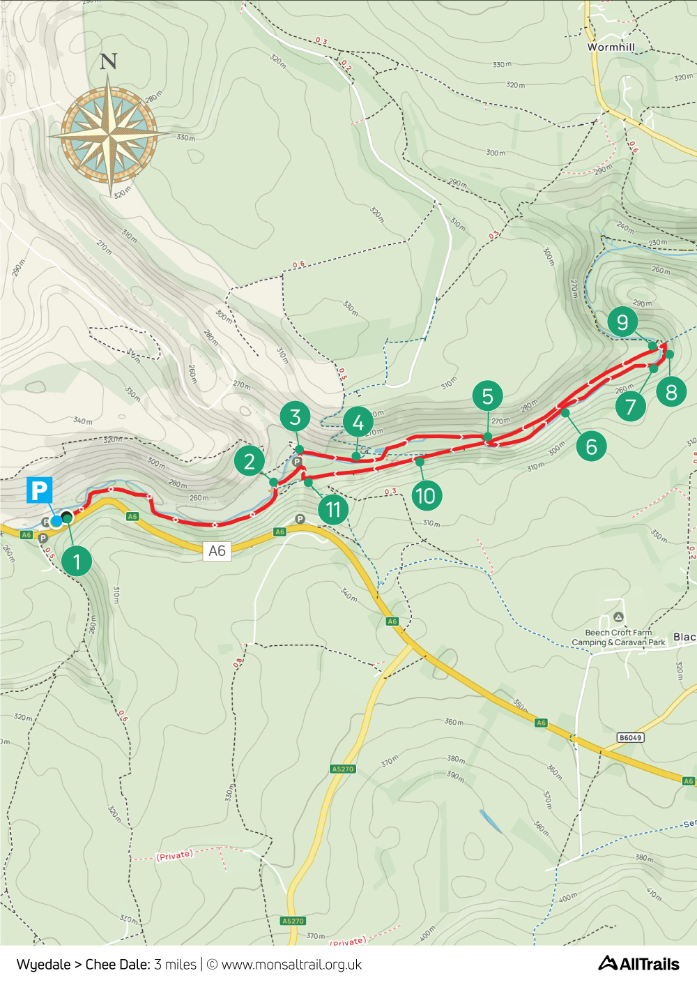
Wye Dale > Chee Dale: 3mls
Walk distance: 3 miles | Date recorded: 21/2/24 (updated 22/6/24)
Start point: Wyedale carpark | Google Map
Map app: View on OutdoorActive | Contact me for GPX file
Walk description
This short, three-mile walk starts from Wyedale carpark, which is just a few miles from Buxton on the A6 to Bakewell. It follows the bank of River Wye (which can get muddy after rain and in winter months), returning along the Monsal Trail.
It includes a short section across stepping stones which can be a bit daunting when the water level is high (see point 6). So care is needed if you’ve got young children or dogs. But they’re usually very easy to cross.
There’s a cycle hire shop near the start of the trail (point 3 on the map) which serves snacks and drinks, but opening times vary. There’s a bus stop beside the carpark and the nearest train station is Buxton.
A ‘Relive’ version of the walk. Click to play and use the expand option to view in full-screen. Click here for more Monsal Trail ‘Relives’.
Click map to expand in a new browser tab.
Click here to open an A4 printable pdf of map.
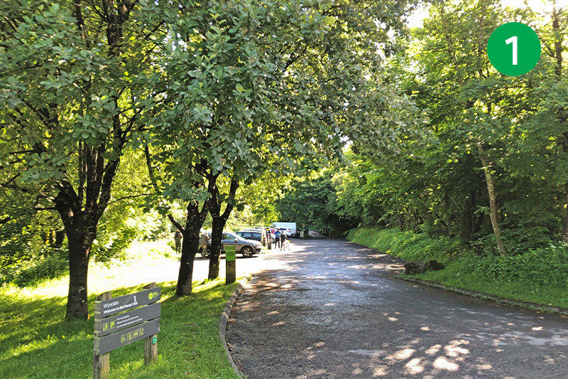
1: Wyedale carpark is well signposted on the A6 but soon fills up on sunny days. There’s also a charge of £4 for up to 4 hours, and £4.75 for all day. There’s a bus stop just beside the entrance – services 65, 66, 68 and 218 stop here (click for details). Personally I’d avoid cycling along the A6 as the road is narrow in places with few passing spots.
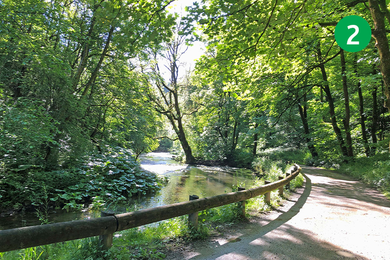
2: Follow this scenic, single track lane from the far end of the car park as it runs beside the Wye for about 3/4 mile until you reach Blackwell Mill Cycle Hire cabin (see above). Cross the footbridge over the river just a short distance further.
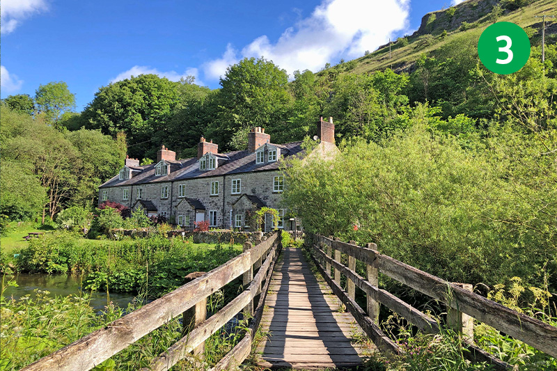
3: The cottages on the left were built for workers on the Midland Railway line. A footpath sign at the far end of the bridge points left towards Woo Dale. This eventually leads to Buxton (see this walk). But turn right following the sign to Chee Dale.
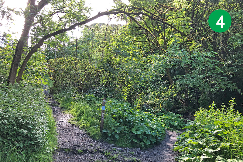
4: The path eventually divides. Keep to the right to follow this route. The track going up the slope on the left leads to the Monsal Trail at point 10. So this could be a good escape route if you decide the path by the river is just too boggy.
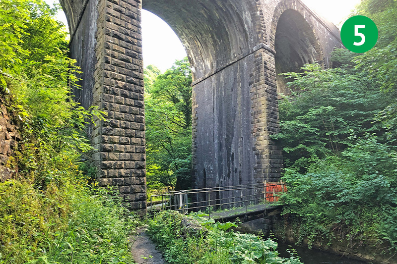
5: Go past the footbridge (which was closed when I took the photos), continuing along the path under the arches. When it’s open, the path over the footbridge takes you up to the Monsal Trail.
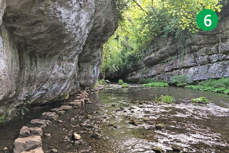
6: The stepping stones can look a bit daunting, especially when the water level is high. But using the side of the gorge for balance makes it safer – although I’d not recommend taking very young children this way during winter months.
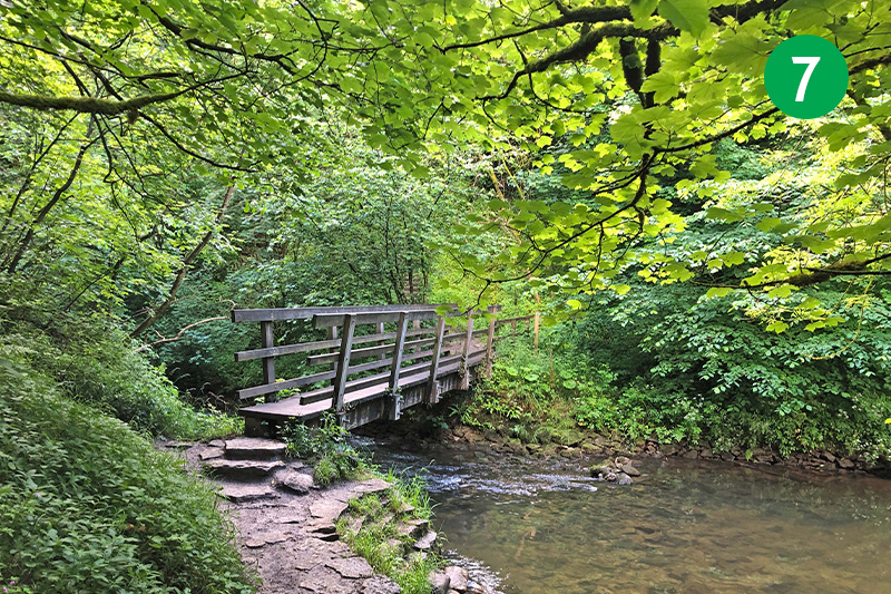
7: Cross the next footbridge and head up the steps on the other side.
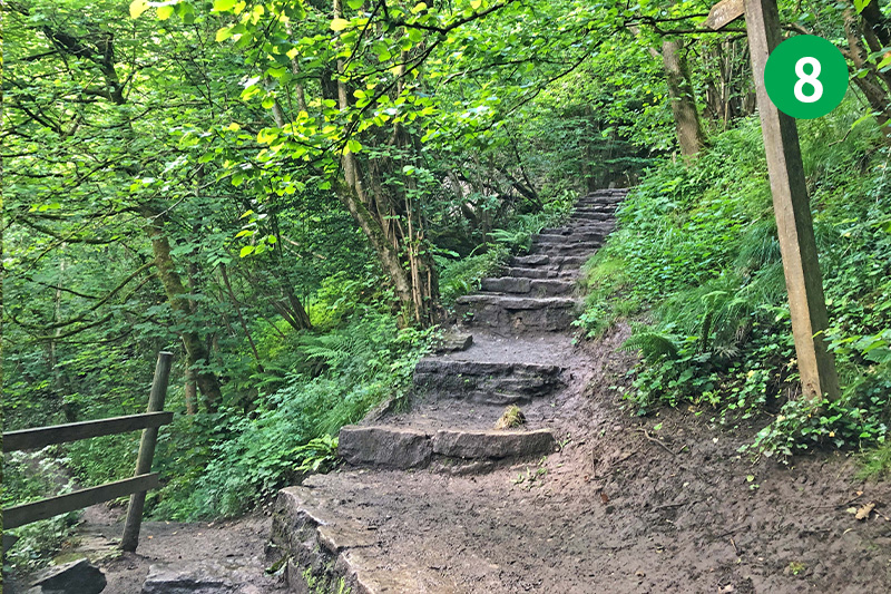
8: Ignore the path on the left and continue up the steps until you reach the Trail. On the right is Chee Tor Tunnel. This leads on to Miller’s Dale – where there’s a good cafe – and eventually all the way to Bakewell. But to continue this route, turn left.
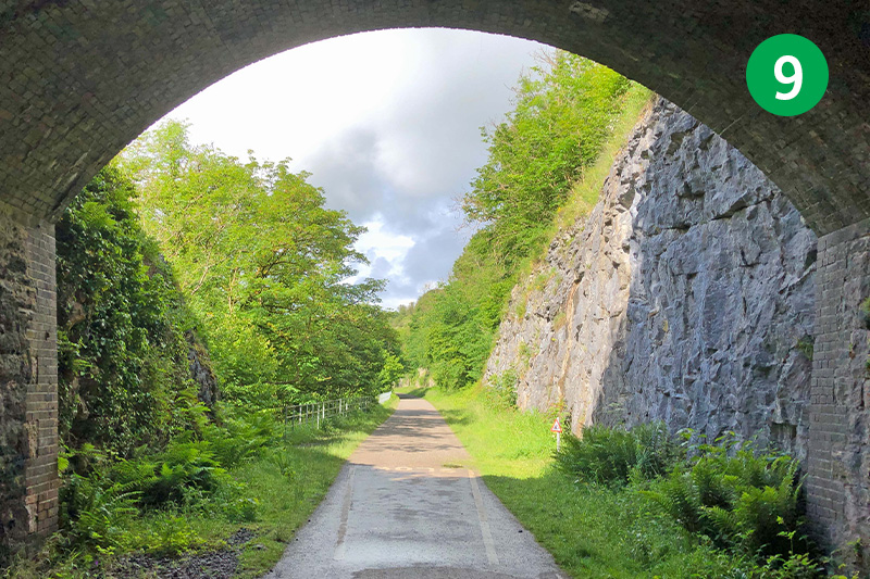
9: Pass through Chee Tor No.2 Tunnel. This section gives an idea of the task that faced the Victorian engineers when they had to blast through the rocks to create the railway track in the mid 19th century.
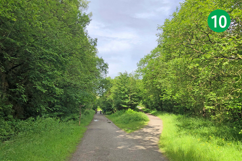
10: You soon come to a point where the track divides. The one on the right once carried trains to Manchester. The track is blocked just a short distance further, but there’s a footpath leading down to Chee Dale at point 4.
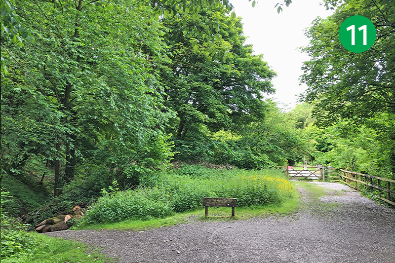
11: There are two options when you reach the end of the Trail; take the gate on the right just past the information board which leads down to Blackwell Mill Cycle Hire where they sell drinks, biscuits and ice cream. Or continue under the bridge and take the path on the left which leads down to point 2 and the lane back to the carpark.

