Wyedale > Buxton: 9mls
Walk distance: 9 miles | Date recorded: 12 April 2024
Start point: Wyedale carpark | Google Map
Map app: View on OutdoorActive | Contact me for GPX file
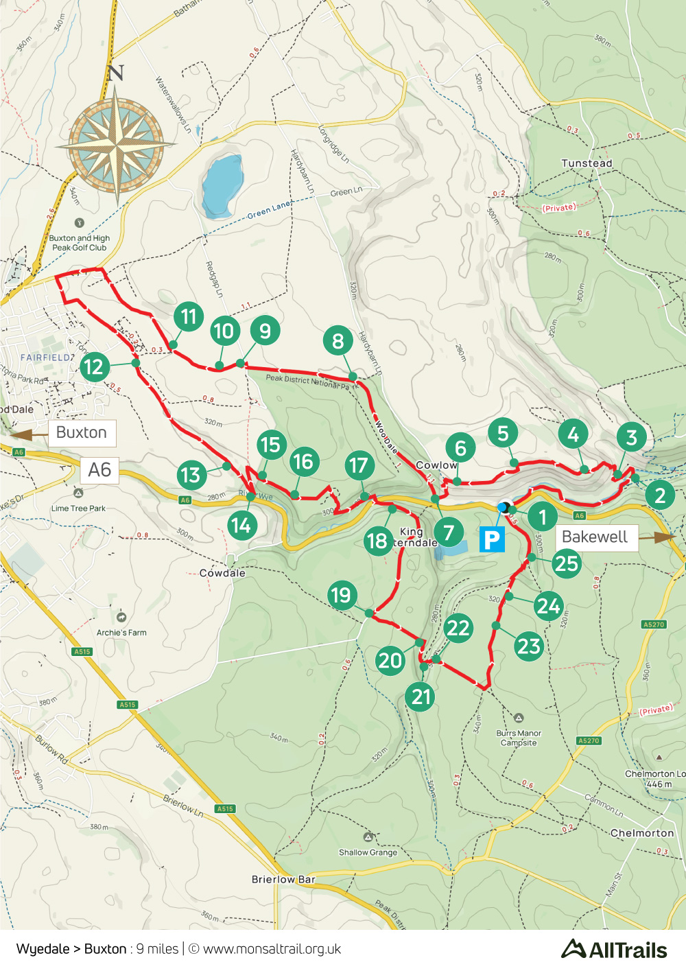
Walk description
This is the only walk on the website that doesn’t connect with the Monsal Trail – although it comes very close. I’ve included it because it links the end of the trail with Buxton. (Click for details of the proposed light railway link.)
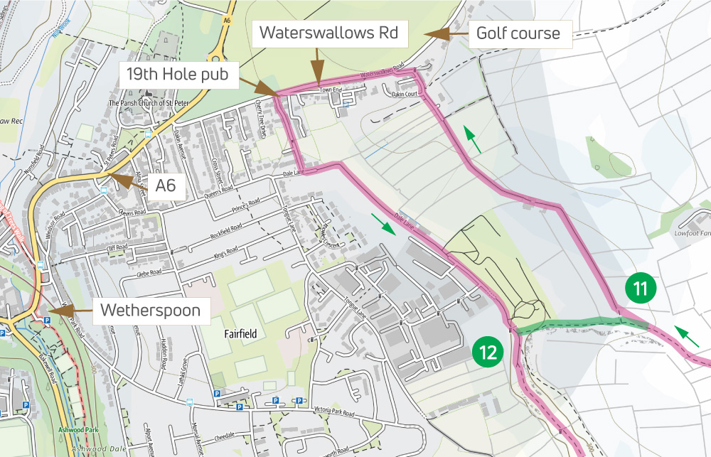
The route enters Buxton on Waterswallows Road, opposite the golf course. It’s a 15 minute walk from here into town (see detailed map at foot of page), passing the popular Wetherspoon pub on the way.
There are three steepish slopes on the walk – down and up either side of Deep Dale, and down past Topley Pike Quarry near the end, so a walking pole is useful if you’re at all nervous of heights. Also, the path from point 14 was quite overgrown for a short distance when I walked it in mid April.
A ‘Relive’ version of the walk. Click to play and use the expand option to view in full-screen. Click here for more Monsal Trail ‘Relives’.
Click map to expand in a new browser tab.
Click here to open an A4 printable pdf of map.
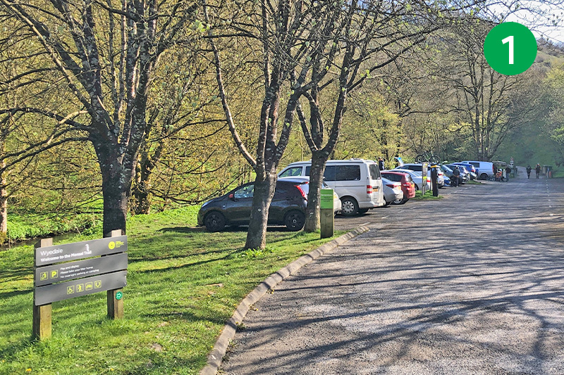
1: The carpark at Wyedale is well signposted on the A6 but is quite small so can soon fill up at weekends and school holidays. The alternative is to park in Buxton and follow the route from point 12. From Wyedale, head along the narrow lane beside the River Wye.
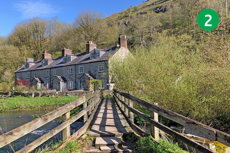
2: The Monsal Trail starts just past the cycle hire shop (which also sells drinks and snacks), up the slope on the right. But cross the footbridge over the river, turning left and following the sign to Woo Dale.
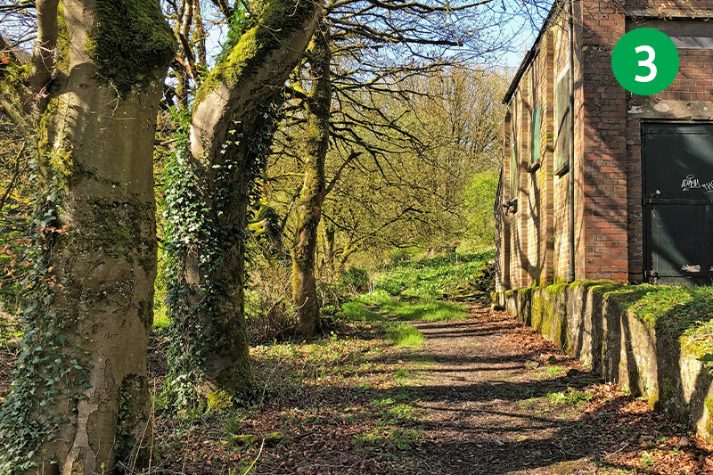
3: Follow the narrow path for some distance, past an old pumping station and under a railway bridge, as it snakes around and up the slope, crossing a footbridge over the railway track.
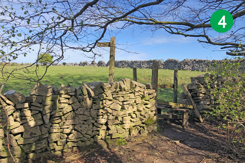
4: You eventually exit the trees over a wooden stile. Follow the direction of the footpath sign to Cowlow.
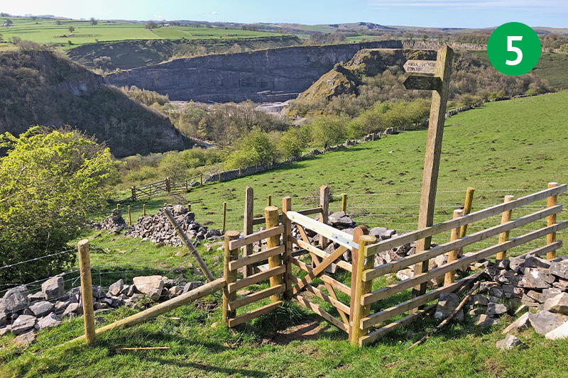
5: Keep in the same direction, passing through a small gate until you reach a footpath sign next to another gate. Follow the sign pointing down the slope towards Cowlow, turning right at the corner of the field, keeping the stone wall on your right. The large quarry in the distance is Topley Pike.
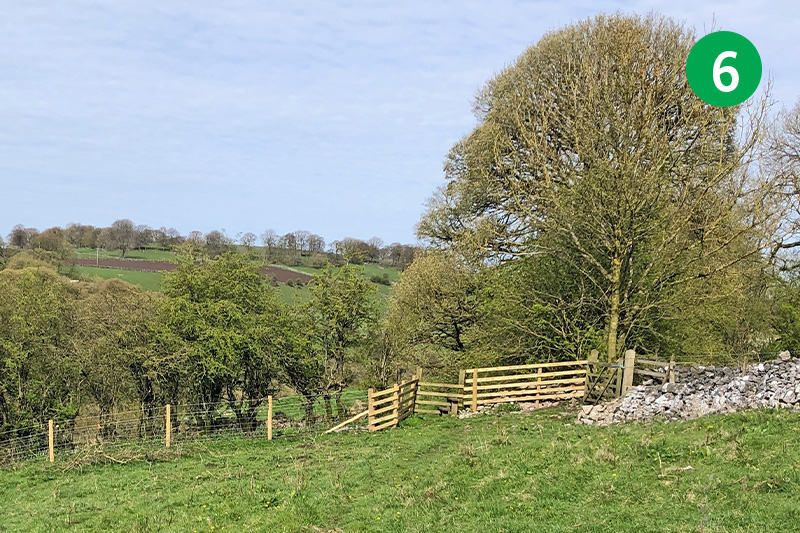
6: The path can be a bit indistinct from here but continue crossing the field from left to right without dropping too far down the slope. Go over the next stile, following another sign to Cowlow, and taking the path as it drops gently down the slope.
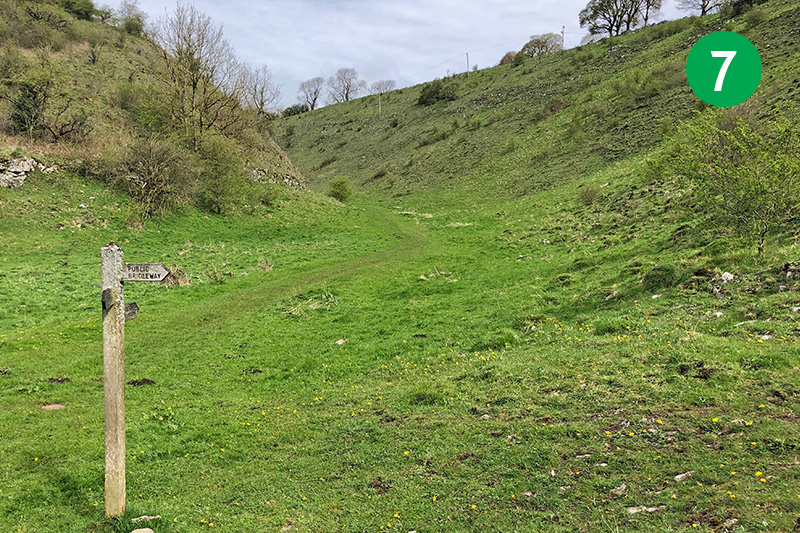
7: Follow the path around to the right as it drops down towards the road, continuing through Cowlow and into Woo Dale.
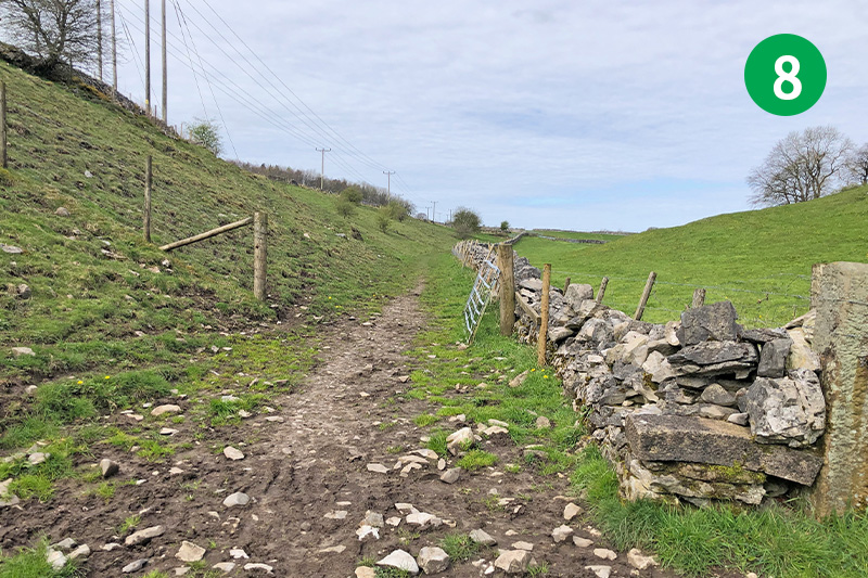
8: Walk through the dales for some distance, continuing in the same direction as the path becomes more of a farm track between stone walls, eventually reaching a minor road.
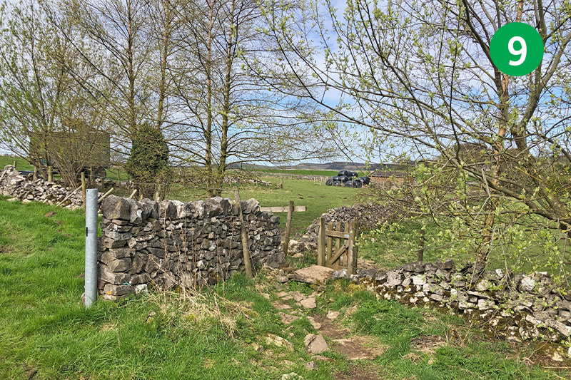
9: Turn right at the road and then immediately left down another farm track, looking out for a small gate just a short distance along the wall to your right. Through here and then immediately left, crossing a large field and heading for a stile at the far end.
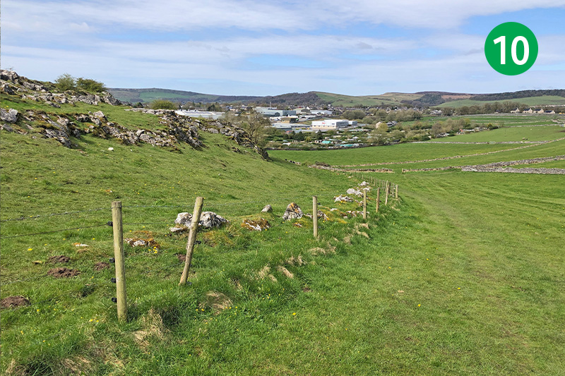
10: Cross a series of narrow fields through various stiles and gates, keeping in the same direction as the outskirts of Buxton come into view. When you get to a larger field, follow the path around to your left, and head down the slope towards the far right corner.
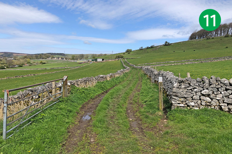
11: To reach Buxton, head up the track between stone walls, following it around to the left and passing through a farmyard, to eventually exit onto Waterswallows Road. Turn left to reach the main A6, and left again into town. If you don’t want to go into Buxton, go through the gate in the opposite corner of this field and follow the narrow path to reach point 12 below. (*See bottom of page for a more detailed map.)
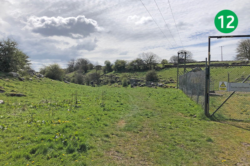
12: From Waterswallows Road, turn left just past the 19th Hole pub, and left again at the end of the lane. Follow this around to the right, and eventually exit past allotments on the left. Keep in the same direction to enter Cunning Dale, following the path beside a pumping station.
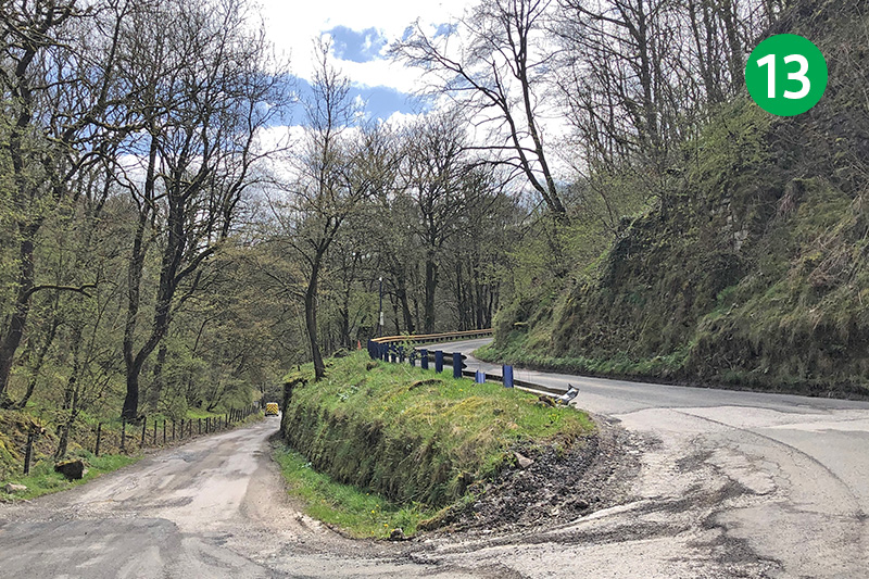
13: Cunning Dale is one of Buxton’s hidden treasures, with many people only discovering its picturesque delights during lockdown. Take the left hand fork as you eventually exit, heading down the tarmac lane.
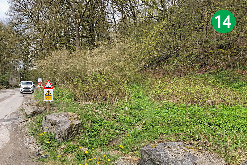
14: As you approach the main A6 road, look out for a well-hidden path between stone boulders, leading back up the slope to your left. This was very overgrown when I went this way in mid April, so will probably be even worse later in the year. Cross a stile beside a metal gate and head up the slope.
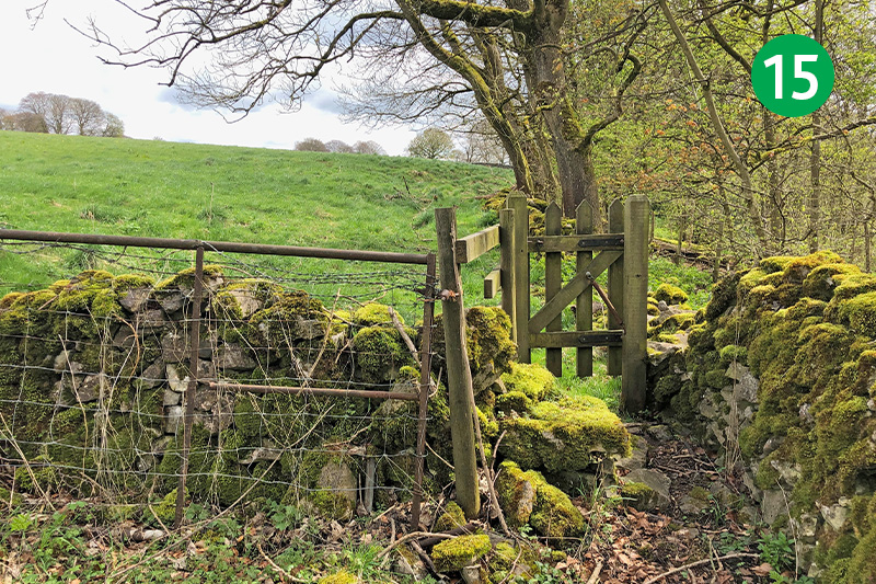
15: At the top of the slope, follow the fairly indistinct path around to the right to reach a small gate into an open field. Keep to the left of the trees across another large field to eventually reach a stone stile beside a footpath sign. Cross the stile and go immediately left up the slight slope, keeping the stone wall on your left.
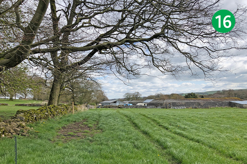
16: Follow the track straight ahead, past farm buildings on the right. Turn right, down another track, and go through a small gate beside a metal gate. Follow this attractive lane as it snakes down the slope.
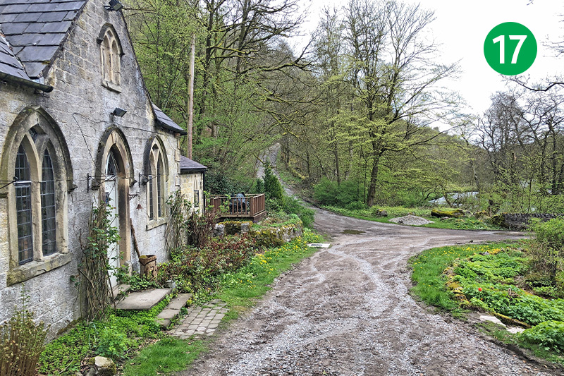
17: Go past Pictor Lodge to reach the main road. I think this attractive house must have been the gatehouse to Pictor Hall which lies just behind it. Turn right along the A6 and then left after a short distance, heading up the narrow track (take care as there’s no pavement at this point).
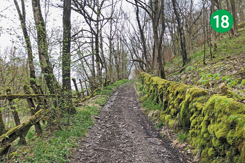
18: Follow this track up the slope for some distance, passing over a railway bridge, to reach the attractive village of King Sterndale. Go past the ancient remains of a mediveal market cross and follow the lane around to the right.
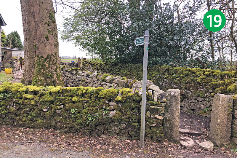
19: You eventually come to the attractive village church. Follow a footpath sign on the opposite side of the road, crossing a wooden stile and heading straight ahead. Pass through another couple of small gates in the same direction to reach Deep Dale, one of five large dales that make up the Derbyshire Dales.
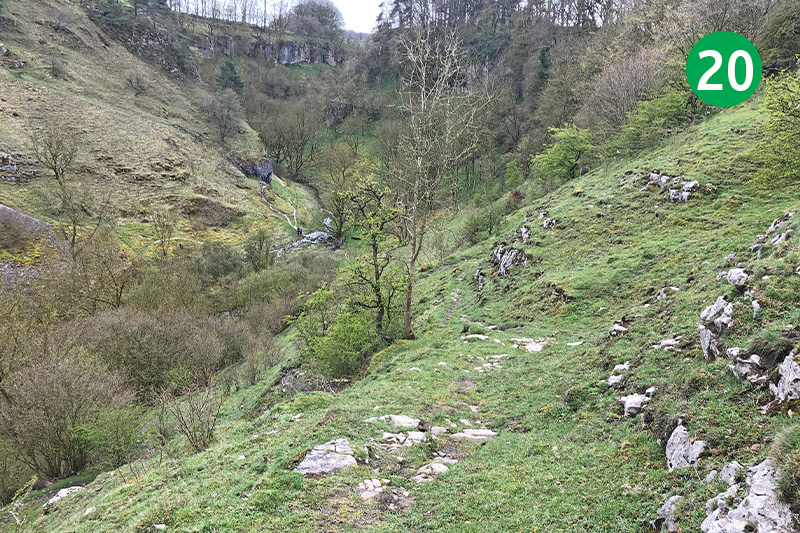
20: The drop down to the bottom of the dale looks impossibly steep from the top, but it’s not as bad as it first appears, once you’ve found the path. It starts slightly to the left of the gate and then winds fairly easily down the slope.
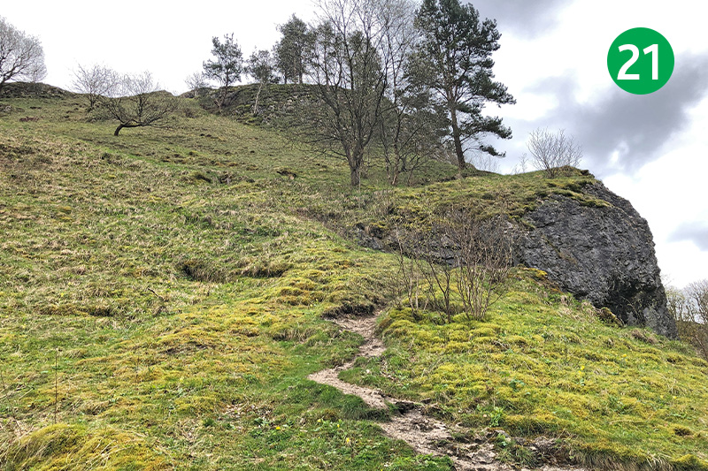
21: Cross the stile to head up the other side of Deep Dale, passing Thirst House Cave. Again, it’s quite steep but fairly easy with a bit of care. The worst part when I went this way was crossing the stream beside the stile which was quite water-logged, but it dries up in summer. There used to be a path running along Deep Dale to the left, but it’s been closed for some years (click for details).
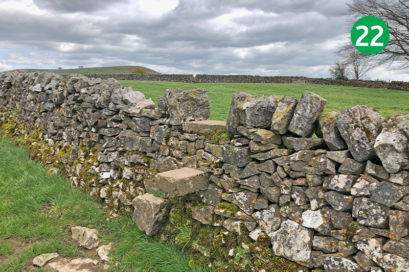
22: Go through a small gate at the top of the slope, following the direction arrow pointing to a stile in the wall on the right, just a short distance away. Keep in the same general direction through a series of stiles to reach a farm track and then turn left and left again.
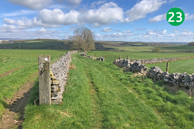
23: Keep to the right of the stone wall until you come to a footpath sign on your right. Follow the direction diagonally right across the field (or keep to the wall if you prefer), to reach a stone stile at the far end.
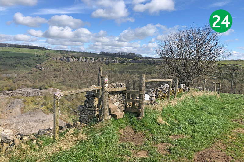
24: The path down from here is quite narow and steep as it winds down the slope, so needs some care (a walking pole is useful at this point).
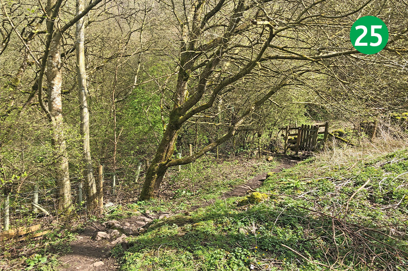
25: Go through a small gate at the bottom of the slope and turn left. This leads all the way to Wyedale carpark, on the other side of the A6. A display board at the bottom explains why the path through Deep Dale to this point has been temporarily closed (click to view).
*The Buxton end…
The mauve line shows the route in and out of Buxton. To reach the town, simply go along Waterswallows Road with the golf course on your right and turn left at the A6. It’s about a 15 minute walk, passing Wetherspoon on the way. If you don’t want to visit Buxton, follow the green line shortcut between points 11 & 12 on the walk description. (Click the map to enlarge in a new window.)

