Jan 27, 2026
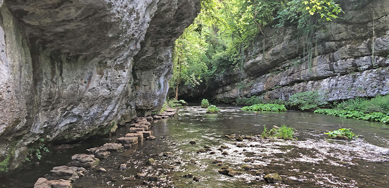
The stepping stones at Chee Dale can be a bit daunting when the water level is high. Full directions Click below for a pdf including stage-by-stage details of the route with photos and a map, as well as links to car parks and public transport. A walking app GPX is...
Jan 25, 2026
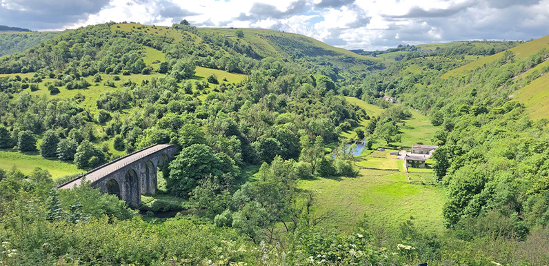
Lathkill Dale is one of the most picturesque spots in the White Peak. Full directions Click below for a pdf including stage-by-stage details of the route with photos and a map, as well as links to car parks and public transport. A walking app GPX is also available....
Jan 17, 2026
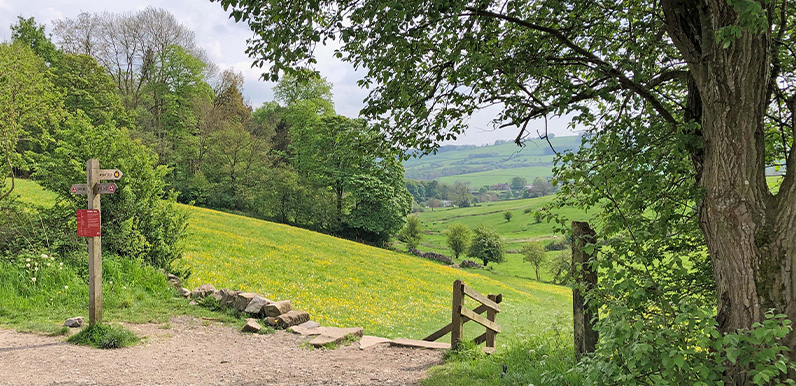
The path down from the Monsal Trail to Ashford on a beautiful mid-May morning. Full directions Click below for a pdf of the route with detailed instructions, photos and a map, as well as links to car parks and public transport. A walking app GPX is also available....
Jan 12, 2026
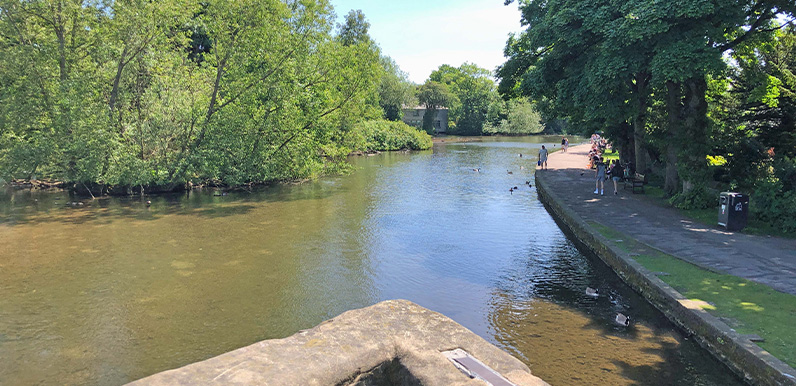
The view from Bakewell’s 14th century bridge over the Wye with the riverside path on the right. Full directions Click below for a pdf of the route with detailed instructions, photos and a map, as well as links to car parks and public transport. A walking app GPX is...
Jan 11, 2026
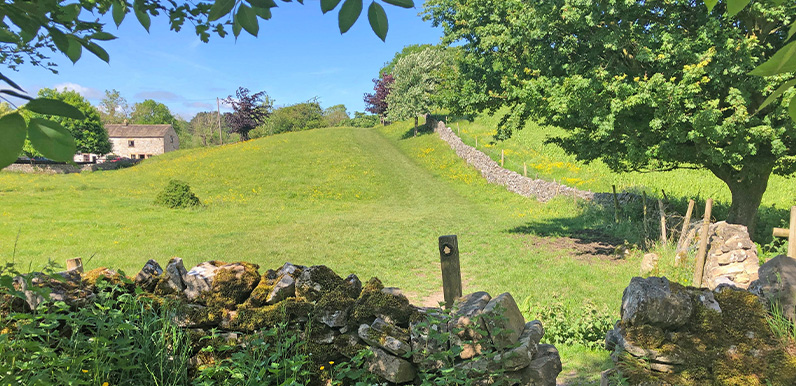
The attractive path from Ashford in the Water towards the Monsal Trail. Full directions Click below for a pdf of the route with detailed instructions, photos and a map, as well as links to car parks and public transport. A walking app GPX is also available....